The best gravel rides around Condat
4.8
(5)
40
riders
6
rides
Gravel biking around Condat offers diverse terrain within the Auvergne Volcanoes Regional Nature Park, characterized by volcanic landscapes, dense forests, and open plateaus. The region features a varied topography with elevations ranging from 672 to 1266 meters, providing a mix of valley paths and challenging climbs. Condat is situated at the confluence of the Rhue, Santoire, and Bonjon rivers, creating a verdant environment with numerous unpaved roads and forest tracks suitable for gravel bikes. This area provides an exciting and…
Last updated: July 4, 2026
20
riders
74.1km
05:05
1,460m
1,460m
Hard gravel ride. Very good fitness required. Mostly paved surfaces. Suitable for all skill levels.
5.0
(1)
5
riders
33.2km
02:12
630m
630m
Hard gravel ride. Very good fitness required. Mostly paved surfaces. Suitable for all skill levels.

Sign up for free
4.3
(3)
9
riders
130km
09:21
2,630m
2,630m
Hard gravel ride. Very good fitness required. Mostly paved surfaces. Suitable for all skill levels.
3
riders
153km
10:48
3,100m
3,100m
Hard gravel ride. Very good fitness required. Mostly paved surfaces. Suitable for all skill levels.
5.0
(1)
2
riders
13.5km
00:54
270m
280m
Moderate gravel ride. Good fitness required. Mostly paved surfaces. Suitable for all skill levels.
Our route recommendations are based on thousands of hikes, rides, and runs completed by other people on komoot.
Start today with a free account
Your next adventure awaits.
Login or Signup
Tips from the Community

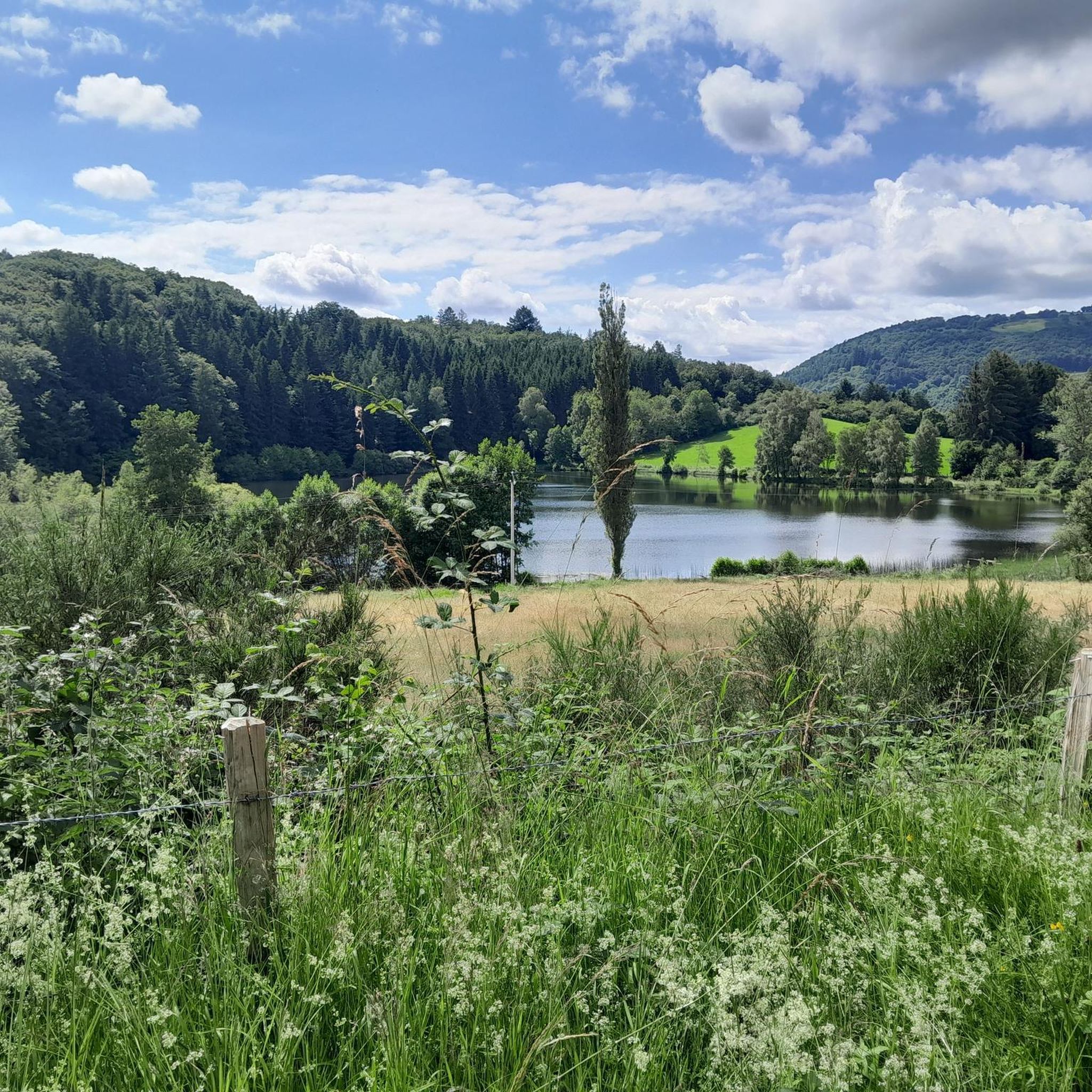
The view is magnificent and the path is smooth.
0
0

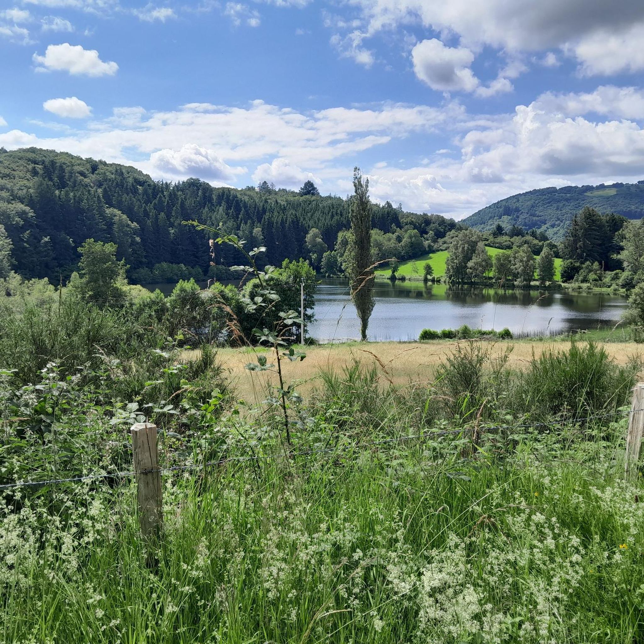
Not too difficult, I did it on a mountain bike.
0
0


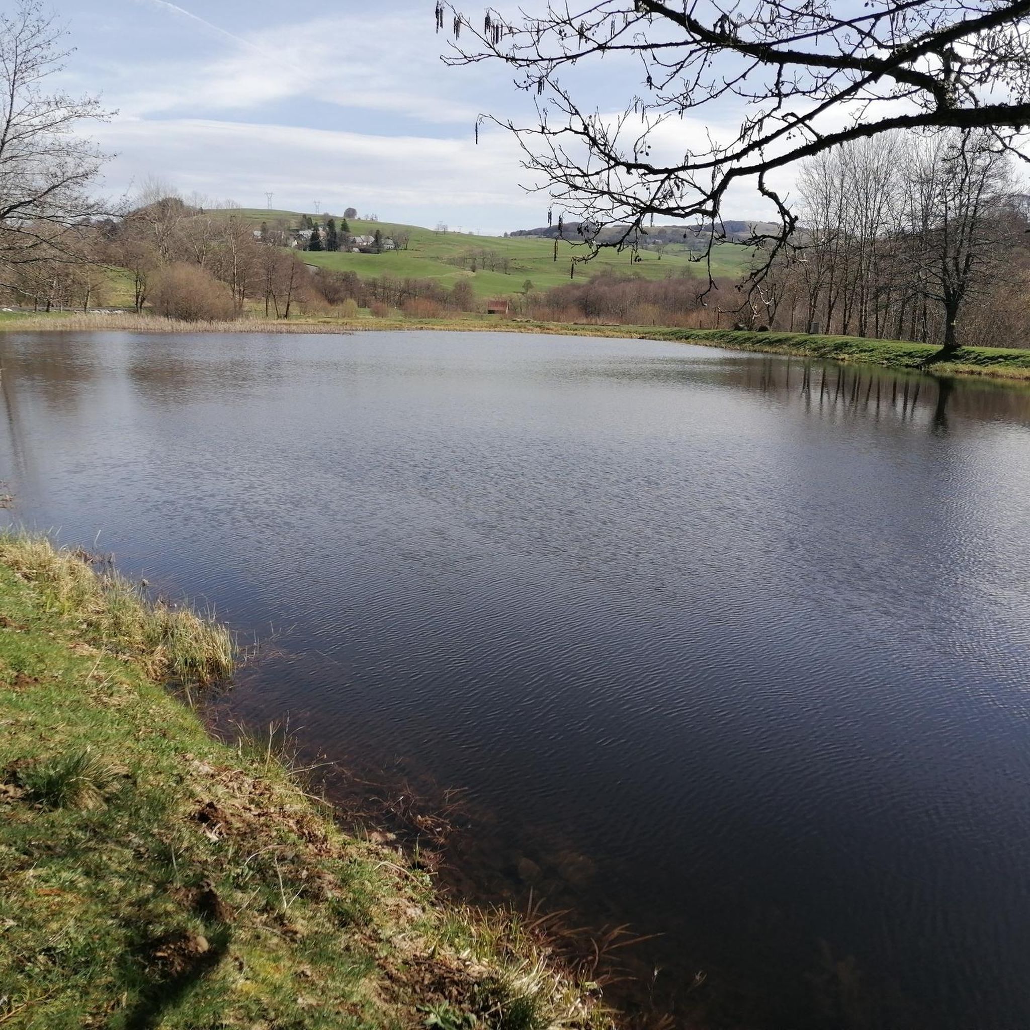
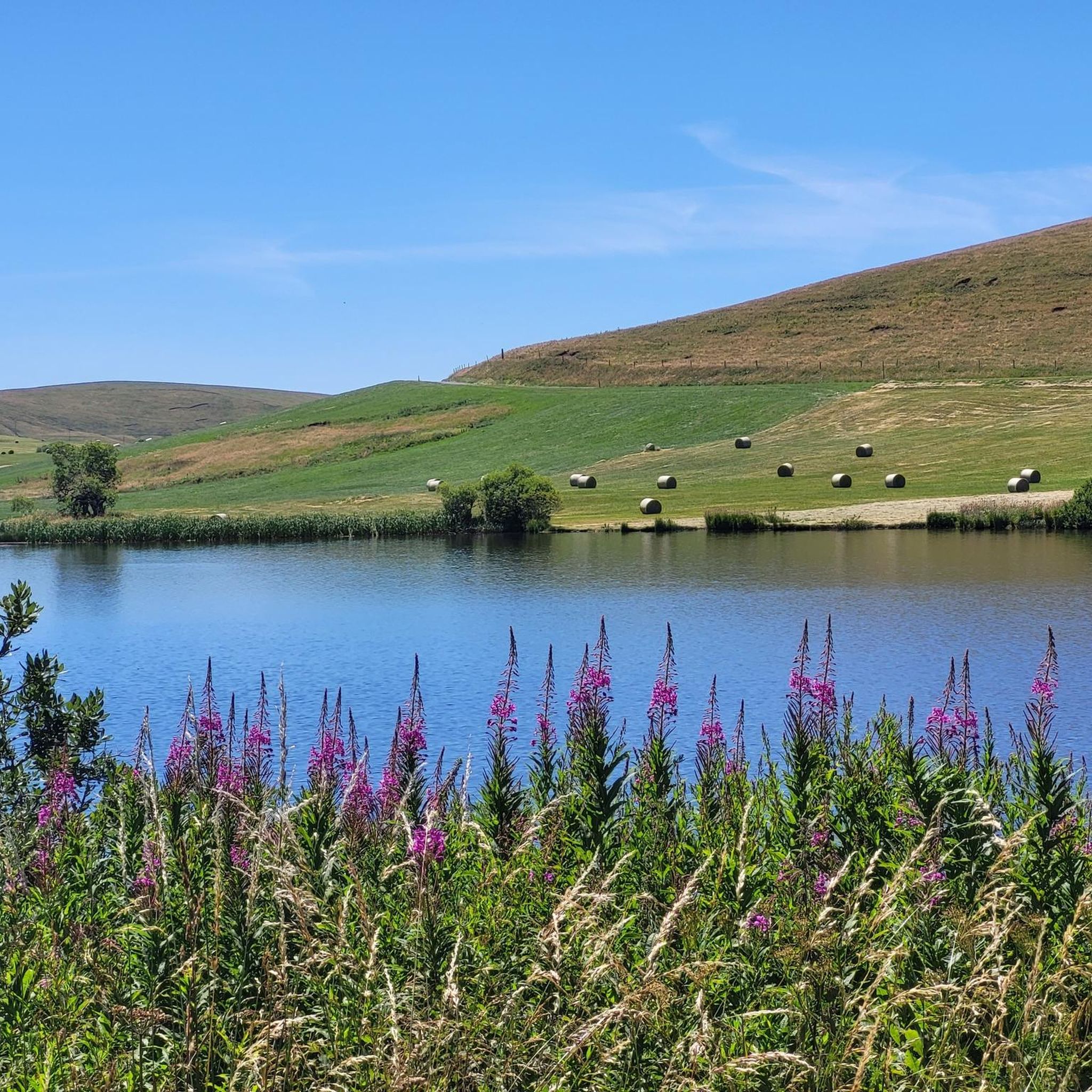
Lake Chambon owes its origin to a volcanic flow that obstructed the Couze Chambon. Beaches are set up on the northern and western parts of the lake but it is possible to go around it to enjoy the calm of nature on the southern banks.
0
0
Lake Chambon owes its origin to a volcanic flow that obstructed the Couze Chambon. Beaches are set up on the northern and western parts of the lake but it is possible to go around it to enjoy the calm of nature on the southern banks.
1
0
Frequently Asked Questions
What kind of terrain can I expect on gravel bike trails around Condat?
Gravel biking around Condat, situated within the Auvergne Volcanoes Regional Nature Park, offers a diverse landscape. You'll encounter volcanic terrain, dense forests, and open plateaus. The topography varies significantly, with elevations ranging from 672 to 1266 meters, providing a mix of valley paths and challenging climbs on unpaved roads and forest tracks.
Are there any easy gravel bike routes suitable for beginners in Condat?
While many routes in Condat are rated as difficult, there is at least one moderate option. The La Godivelle – Upper Lake of La Godivelle loop from La Godivelle is a 13.4 km route with 273 meters of elevation gain, making it a good choice for those looking for a less strenuous ride.
What are some challenging gravel bike trails in Condat?
For experienced gravel bikers seeking a challenge, Condat offers several difficult routes. The Lake Montcineyre – Chamaroux Pass loop from Landeyrat is the longest at 115.4 km with over 2000 meters of elevation gain. Other demanding options include the La Godivelle – Chamaroux Pass loop from La Godivelle (68.7 km) and the Chamaroux Pass – La Godivelle loop from La Godivelle (57.8 km).
Are there circular gravel bike routes available in Condat?
Yes, all the gravel bike routes listed in the guide are circular loops. Examples include the La Godivelle – Chamaroux Pass loop from La Godivelle and the La Godivelle – Upper Lake of La Godivelle loop from La Godivelle, allowing you to start and finish at the same point.
What natural attractions can I see along the gravel bike trails in Condat?
The region around Condat is rich in natural beauty. You can explore several lakes such as Lac Chauvet, Lac de la Crégut, and the Upper Lake of La Godivelle. There's also the picturesque Saillant Waterfall and stunning vistas like the View of Mont Chamaroux and the Cézallier mountains.
What is the best time of year for gravel biking in Condat?
Condat's location within the Auvergne Volcanoes Regional Nature Park suggests that spring, summer, and early autumn would be ideal. These seasons offer more favorable weather conditions for exploring the varied terrain, including volcanic landscapes, forests, and plateaus. Winter conditions could bring snow and ice, making some routes challenging or impassable.
Are there any viewpoints along the gravel bike routes in Condat?
Yes, the region offers scenic viewpoints. A notable one is the View of Mont Chamaroux and the Cézallier mountains, which provides expansive vistas of the surrounding volcanic landscapes and plateaus. Many routes traverse elevated areas, offering numerous opportunities for panoramic views.
What do other gravel bikers enjoy most about gravel biking in Condat?
The area is highly rated by the komoot community, with an average score of 4.0 stars. Riders often praise the diverse terrain, which includes challenging climbs, scenic forest tracks, and unpaved roads through volcanic landscapes. The opportunity to explore the Auvergne Volcanoes Regional Nature Park on two wheels is a significant draw.
How long do gravel bike trails in Condat typically take to complete?
The duration of gravel bike trails in Condat varies significantly based on their length and difficulty. For instance, the moderate La Godivelle – Upper Lake of La Godivelle loop from La Godivelle can be completed in just under an hour. More challenging routes, like the Lake Montcineyre – Chamaroux Pass loop from Landeyrat, can take over 8 hours due to their length and significant elevation gain.
What kind of natural features define the Condat region for outdoor activities?
Condat is nestled within the Auvergne Regional Natural Park, characterized by its volcanic landscapes, dense forests, and open plateaus. The region is also defined by its rivers, including the Rhue, Santoire, and Bonjon, which create a verdant environment. You'll find natural features like cascades, mountains (Monts du Cantal), and picturesque valleys, offering a rich tapestry for outdoor enthusiasts.
Are there any specific places to explore near the gravel routes?
Beyond the trails, the broader Cantal area offers attractions like the Parc des Volcans (Volcanoes Park) with its unique geological formations. You might also consider visiting Condat itself, which is a pretty green resort with traditional houses, or explore the various lakes such as La Godivelle, which is a highlight in its own right.
Most popular attractions around Condat

Get inspired with the komoot mobile app


Explore more
Browse the best Gravel rides in other regions.
