The best gravel rides around Fontienne
4.0
(2)
22
riders
5
rides
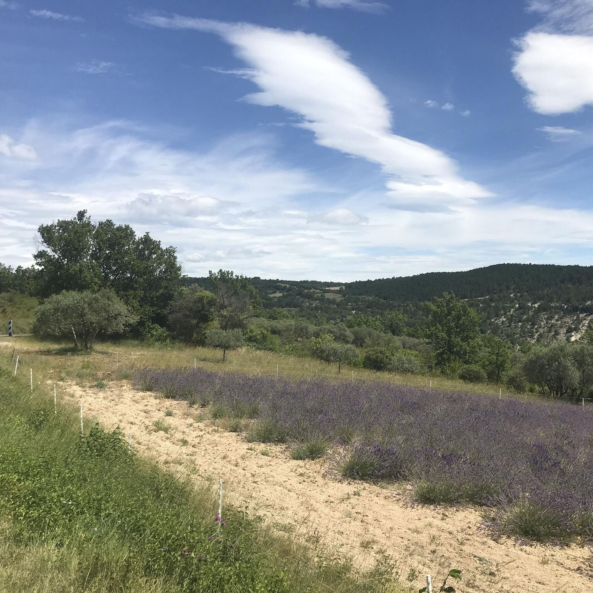
Gravel biking around Fontienne offers diverse terrain, including tarmac roads, dirt tracks, and gravel paths, often in car-free environments. The region, nestled in the Alpes-de-Haute-Provence, features a blend of Alpine and Provençal landscapes, providing varied elevation gains and technical difficulties. This area is recognized for its quality gravel courses, holding the 'Espace Gravel' label, and provides access to natural features like the Colorado Provencal and the Gorges du Verdon.
Best gravel bike trails around Fontienne
- The most popular gravel bike trail is Forcalquier – Forcalquier loop from Forcalquier, a 19.8 miles (31.9 km) trail that takes 3 hours 13 minutes to complete. This difficult route explores the varied landscapes of the Forcalquier area.
- Another top favourite among local gravel bikers is Forcalquier – Pélicier State Forest loop from Forcalquier, a difficult 32.7 miles (52.6 km) path. This route offers a mix of terrains and scenic views of the surrounding natural attractions.
- Local gravel bikers also love the Pélicier State Forest – Saint Michel l'Observatoire loop from Forcalquier, a 25.5 miles (41.0 km) trail leading through forest sections and offering panoramic views, often completed in about 2 hours 54 minutes.
- Gravel biking around Fontienne is defined by diverse terrain, natural wonders, and mountainous regions. The network offers options for different ability levels, with routes featuring varied distances, elevation gains, and technical difficulties.
- The routes in Fontienne are highly rated by the komoot community with an average score of 4.0 stars from 2 reviews. More than 14 gravel bikers have used komoot to explore Fontienne's varied terrain.
Last updated: July 4, 2026
4
riders
32.0km
02:46
810m
810m
Hard gravel ride. Very good fitness required. Mostly paved surfaces. Suitable for all skill levels.
3.0
(1)
4
riders
52.1km
04:12
1,080m
1,080m
Hard gravel ride. Very good fitness required. You may need to push your bike for some segments of this route.

Sign up for free
6
riders
59.6km
04:33
1,630m
1,630m
Hard gravel ride. Very good fitness required. Mostly paved surfaces. Suitable for all skill levels.
4
riders
44.4km
03:41
1,180m
1,180m
Hard gravel ride. Very good fitness required. Mostly paved surfaces. Suitable for all skill levels.
2
riders
27.8km
02:18
720m
720m
Hard gravel ride. Very good fitness required. Mostly paved surfaces. Suitable for all skill levels.
Our route recommendations are based on thousands of hikes, rides, and runs completed by other people on komoot.
Start today with a free account
Your next adventure awaits.
Login or Signup
Tips from the Community


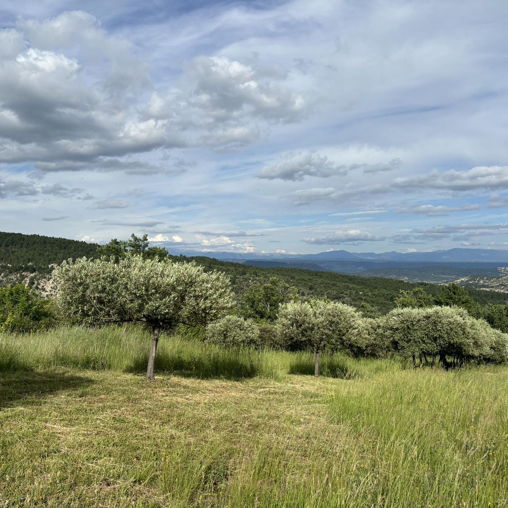
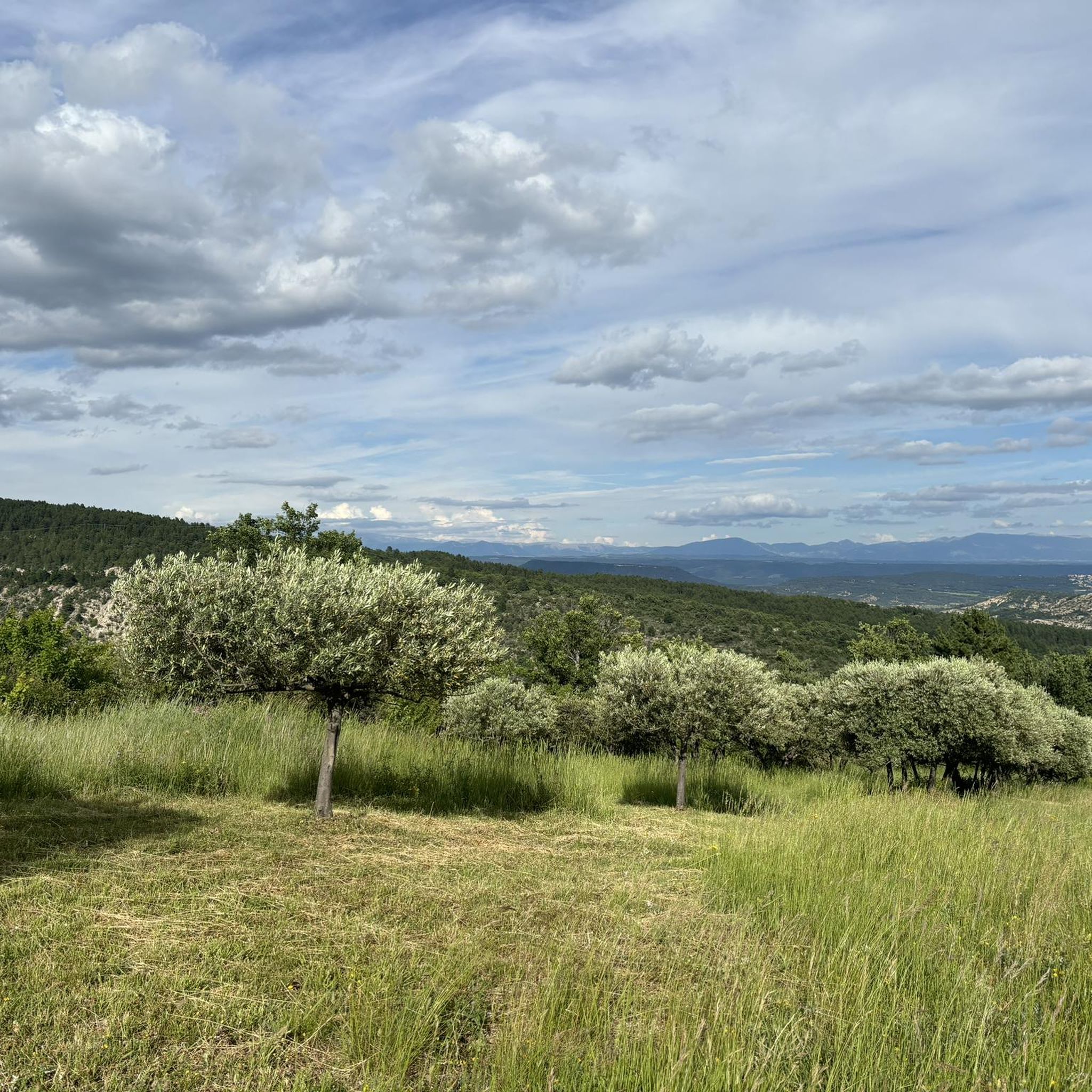
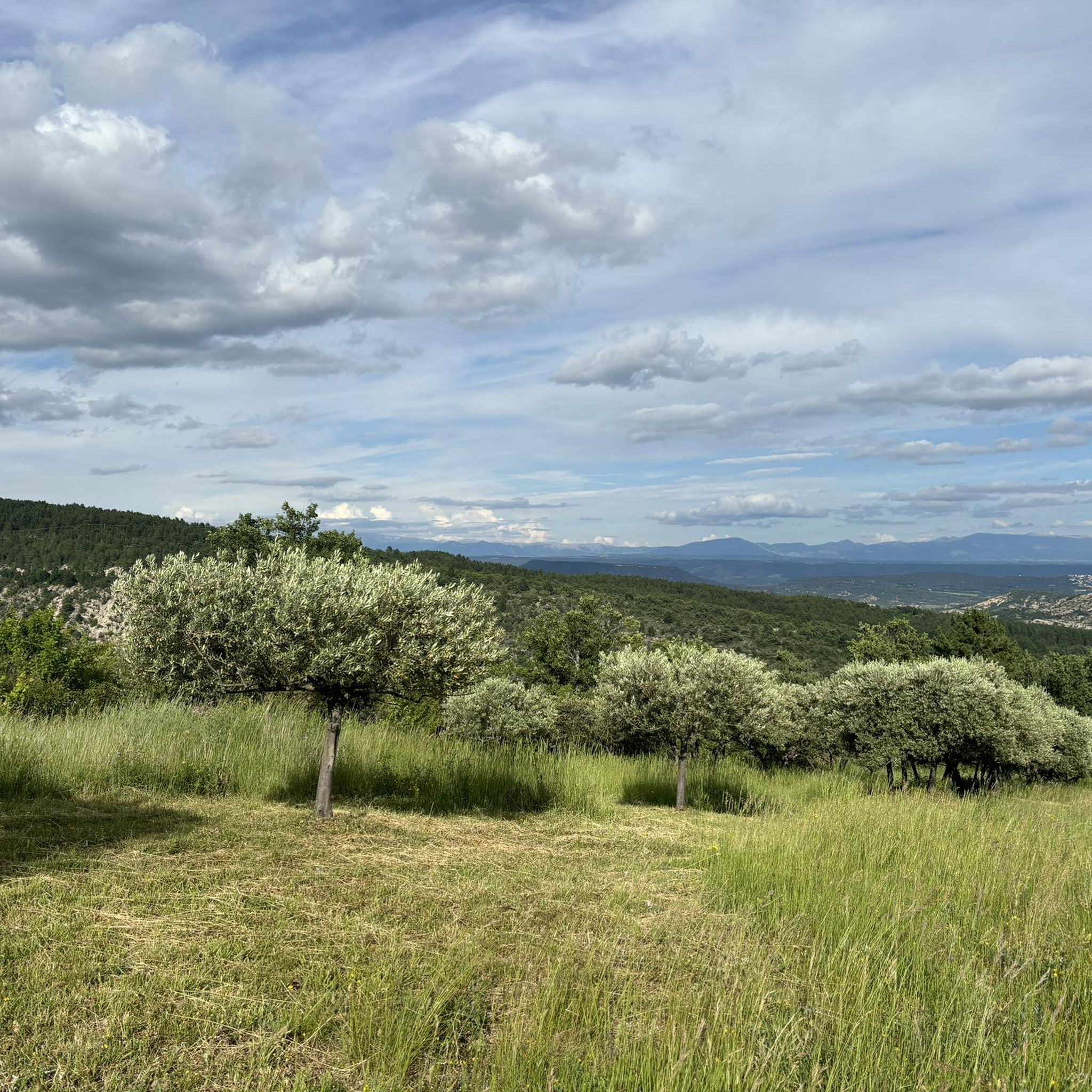
best panoramic view, absolutely recommended!
0
0

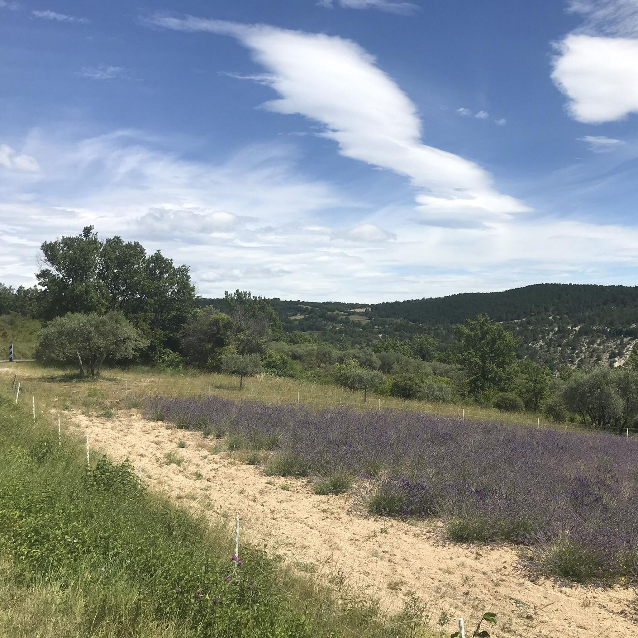
Superb place, under grandiose trees flamboyant in autumn
0
0

At 591m above sea level, the Col de la Mort d'Imbert, despite its name, isn't particularly daunting. Indeed, from Manosque or Dauphin, the climb is easy, with a gentle slope (although from Dauphin it's less regular). From the pass, you can continue the climb on the aptly named Bellevue paths.
0
0


The Ventoux's little brother. With a length of 17.7 kilometres and an ascent of 1054 vertical metres and a gradient of 5.9% on average, which implies a difficulty level of 688. The summit of the climb is located at 1746 metres above sea level. At the top the views are fabulous both towards Ventoux itself and towards the Alps. A long, very pleasant and fun climb that is worth the effort with percentages that remain around 5/6/7% and some peaks of up to 9.3%. The last 2 kilometres are very easy.
2
0


Frequently Asked Questions
How many gravel bike trails are available around Fontienne?
There are several gravel bike trails around Fontienne, with komoot featuring 4 distinct routes. These trails offer a mix of tarmac roads, dirt tracks, and gravel paths, exploring the diverse landscapes of the Alpes-de-Haute-Provence.
What kind of terrain can I expect on gravel bike trails in Fontienne?
The terrain around Fontienne is diverse, ranging from tarmac roads to dirt tracks and gravel paths. You'll encounter varied elevation gains and technical difficulties, reflecting the blend of Alpine and Provençal landscapes. The region is known for its quality gravel courses, often in car-free environments.
Are there any long-distance gravel routes for experienced riders?
Yes, for experienced riders seeking longer distances, the region offers challenging routes. Consider the Forcalquier – Pélicier State Forest loop from Forcalquier, which spans over 52 kilometers with significant elevation gain, or the Montagne de Lure Pass – Saint-Étienne-les-Orgues loop from Mallefougasse-Augès, covering over 45 kilometers with substantial climbing.
What natural attractions or landmarks can I see while gravel biking near Fontienne?
While gravel biking near Fontienne, you can explore several natural attractions. The The Mourres Rocks and Les Rochers des Mourres are notable natural monuments. The region also offers views of the Luberon massif and is within reach of the dramatic Gorges du Verdon and the vibrant Colorado Provencal, providing breathtaking scenery.
Are there any historical sites or cultural points of interest accessible by gravel bike?
Yes, the Alpes-de-Haute-Provence department is rich in heritage. You can visit the historic town of Forcalquier, which serves as a starting point for several routes. Other points of interest include the Abbey Church of Cruis and various old houses, castles, and local markets in nearby towns like Banon and Manosque.
What do other gravel bikers say about the trails in Fontienne?
The gravel biking routes around Fontienne are highly regarded by the komoot community, with an average rating of 4.0 stars from 2 reviews. Users often praise the diverse terrain and the scenic views of the surrounding natural attractions and landscapes.
Is Fontienne suitable for beginner gravel bikers?
The gravel biking routes currently featured around Fontienne are generally classified as 'difficult' due to significant elevation gains and varied terrain. While the region offers diverse options, beginners might find these specific routes challenging. It's advisable to assess your fitness and skill level before attempting them.
What is the best time of year to go gravel biking in Fontienne?
The Provence-Alpes-Côte d'Azur region, where Fontienne is located, generally offers pleasant conditions for outdoor activities for much of the year. Spring and autumn are often ideal, with milder temperatures and beautiful landscapes. Summers can be hot, while winters are typically cooler but still offer opportunities for riding, depending on elevation.
Are there options for parking near the gravel bike trails?
Many routes in the Fontienne area, such as those starting from Forcalquier, typically offer parking options in or near the town centers. It's common for towns in the Alpes-de-Haute-Provence to have designated parking areas suitable for accessing outdoor trails.
Can I find circular gravel bike routes around Fontienne?
Yes, all the featured gravel bike routes around Fontienne are designed as circular loops. This allows you to start and end your ride in the same location, such as the Les Rochers des Mourres – Forcalquier loop from Forcalquier or the Pélicier State Forest – Saint Michel l'Observatoire loop from Forcalquier.
Are there any routes that offer panoramic viewpoints?
Absolutely. Many routes in the Fontienne area lead through elevated sections and offer panoramic views of the surrounding landscapes. For instance, the Pélicier State Forest – Saint Michel l'Observatoire loop from Forcalquier is known for its forest sections and panoramic vistas. The region itself is characterized by exceptional landscapes, providing numerous scenic outlooks.
Most popular attractions around Fontienne

Get inspired with the komoot mobile app


Explore more
Browse the best Gravel rides in other regions.
