The best gravel rides around La Harmoye
5.0
(1)
49
riders
5
rides
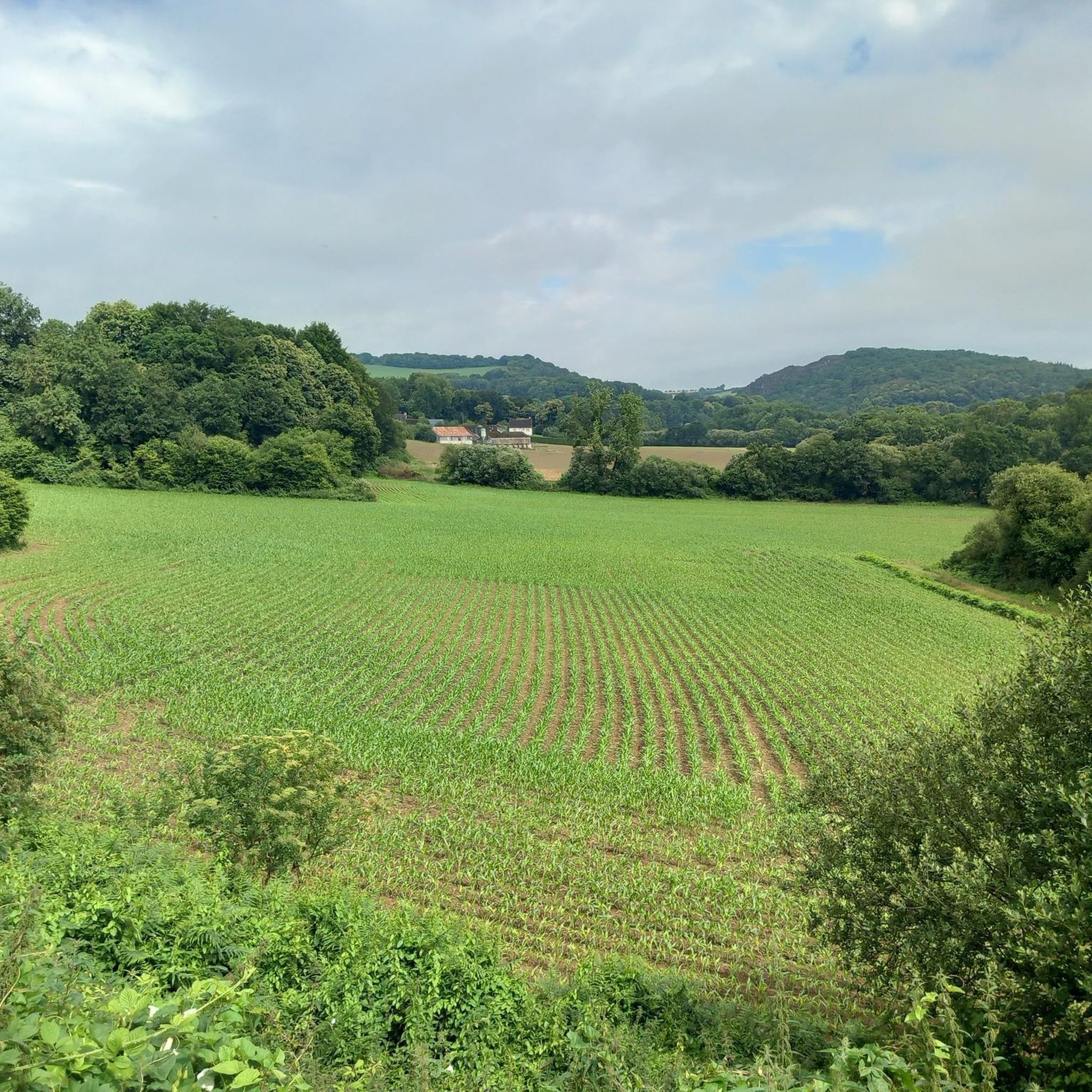
Gravel biking around La Harmoye, located in the Côtes-d'Armor department of Brittany, offers access to varied landscapes. The region features undulating terrain, encompassing forests, heathland, and pasture, providing diverse scenery for outdoor pursuits. A notable feature for gravel biking is the Rigole d'Hilvern, an artificial waterway redeveloped into a greenway with well-maintained gravel paths. This area provides a network of routes suitable for gravel biking, connecting to broader regional cycle paths.
Best gravel bike trails around La Harmoye
- The most…
Last updated: July 4, 2026
17
riders
52.8km
02:52
380m
380m
Moderate gravel ride. Good fitness required. Mostly paved surfaces. Suitable for all skill levels.
17
riders
Hard gravel ride. Very good fitness required. Mostly paved surfaces. Suitable for all skill levels.

Sign up for free
3
riders
42.4km
02:39
550m
550m
Hard gravel ride. Very good fitness required. Mostly paved surfaces. Suitable for all skill levels.
2
riders
Hard gravel ride. Very good fitness required. Mostly paved surfaces. Suitable for all skill levels.
2
riders
Hard gravel ride. Very good fitness required. Mostly paved surfaces. Suitable for all skill levels.
Our route recommendations are based on thousands of hikes, rides, and runs completed by other people on komoot.
Start today with a free account
Your next adventure awaits.
Login or Signup



Tips from the Community

Here the origin of the path can be seen: it was an old railway. The old station is well maintained.
0
0

This climb is often used by cycling races, particularly the Tour de France. A fairly long climb (2.2 km) with a very steep first section. Average gradient of 6.55% with a maximum of 15%. https://profils.cols-cyclisme.com/2811.svg
0
1


You have to carry the bike to cross the dam, but it's worth the view!
0
0

It's cute! Worth a look in passing.
0
0

Riding along the Rigole is one of the most beautiful rides I've ever had. It's at least 50km of gentle downhill on a single trail, wooded and therefore shady. I didn't meet any other cyclists and only met five walkers. The corners of my mouth were constantly almost at my ears, absolutely fantastic!
0
0

Well-known to Breton cyclists, the Côte de Mûr-de-Bretagne has become a classic of the Tour de France, with its characteristic straight climb. Although short, it can get your thighs burning with more than 500 meters at over 10% and a peak at over 13%.
3
0
Frequently Asked Questions
What kind of terrain can I expect on gravel bike trails around La Harmoye?
Gravel biking around La Harmoye offers a mix of varied landscapes. You'll find undulating terrain, encompassing forests, heathland, and pasture. A significant portion of the trails, particularly along the Rigole d'Hilvern, features well-maintained, smooth gravel paths through undergrowth with little traffic, making for a pleasant ride. The broader Côtes-d'Armor region also provides extensive networks of greenways and footpaths.
Are there any easy or beginner-friendly gravel bike routes near La Harmoye?
While many routes in the area are moderate to difficult, the Rigole d'Hilvern is known for its smooth, well-maintained gravel surface, which can be more accessible. For example, the La Rigole d'Hilvern Greenway – Le Quillo Picnic Area loop from Allineuc is a moderate 19.5-mile (31.3 km) trail that leads through undergrowth and along the Rigole d'Hilvern, often completed in about 2 hours 8 minutes.
What are some notable natural features or landmarks I might encounter on the gravel trails?
The region around La Harmoye is rich in natural beauty and historical sites. You can explore the La Rigole d'Hilvern Greenway itself, which is a significant feature. Other local historical features include the Saint Gildas church, the Saint Gildas fountain, and the old Cartravers lime kilns. Further afield, the Bosméléac Dam and the Lac de Guerlédan offer beautiful water, forest, and heathland surroundings.
Can I find circular gravel bike routes in the La Harmoye area?
Yes, several routes are designed as loops, allowing you to start and finish in the same location. An example is the Bosméléac Dam – La Rigole d'Hilvern Greenway loop from Lac de Bosméléac, a moderate 32.8-mile (52.9 km) path that incorporates sections of the Rigole d'Hilvern Greenway.
Is the Rigole d'Hilvern a good option for gravel biking, and how can I access it?
The Rigole d'Hilvern is an excellent option for gravel biking, described as a 'gravel path through the undergrowth, perfectly maintained, very smooth, no mud, little traffic.' You can access sections of it from various points. For instance, the La Rigole d'Hilvern Greenway – Le Quillo Picnic Area loop from Allineuc starts near Allineuc, providing direct access to this popular greenway.
Are the gravel bike trails around La Harmoye suitable for families or those with dogs?
The Rigole d'Hilvern, with its smooth, well-maintained, and low-traffic gravel surface, is generally considered suitable for families. Its gentle nature makes it a good choice for a relaxed ride. For those with dogs, it's advisable to check local regulations regarding dogs on trails and ensure your dog is well-behaved and on a leash where required.
Where can I find parking for gravel biking near La Harmoye?
While specific parking locations for La Harmoye are not detailed, many trailheads for the Rigole d'Hilvern and other routes typically have designated parking areas. For routes like the Bosméléac Dam – La Rigole d'Hilvern Greenway loop from Lac de Bosméléac, you would likely find parking near Lac de Bosméléac. For routes starting from Allineuc, look for parking within or on the outskirts of the village.
What is the best time of year to go gravel biking in La Harmoye?
Brittany generally offers pleasant conditions for cycling from spring through autumn. The Rigole d'Hilvern is noted for having 'no mud,' suggesting it holds up well even after rain. However, for the most comfortable experience, late spring and early autumn often provide mild temperatures and beautiful scenery without the peak summer crowds.
Are there any cafes or pubs along the gravel bike routes for a break?
La Harmoye is a charming village, and you can expect to find local amenities there. While specific cafes or pubs directly on the trails are not listed, many routes pass through or near small towns and villages where you can find places to stop for refreshments. It's always a good idea to carry sufficient water and snacks, especially on longer rides.
How many gravel bike routes are available around La Harmoye?
There are at least 6 gravel bike routes available around La Harmoye, ranging in difficulty from moderate to difficult. These routes offer a variety of distances and elevation gains, catering to different fitness levels and preferences.
What makes gravel biking in La Harmoye unique or enjoyable according to other riders?
The area is highly rated by the komoot community, with an average score of 5.0 stars. Riders often praise the diverse terrain, which includes greenways, forests, and undulating landscapes. The well-maintained gravel paths, particularly along the Rigole d'Hilvern, are frequently highlighted for their smooth surface and low traffic, contributing to a very enjoyable and immersive outdoor experience.
What kind of elevation gain should I expect on gravel routes in this region?
The region features undulating landscapes, so you can expect varying elevation gains. For example, the Saint-Gilles Church – Greenway in Mûr-de-Bretagne loop from Saint-Gilles-Vieux-Marché, a difficult route, has an elevation gain of over 600 meters. Moderate routes like the Bosméléac Dam – La Rigole d'Hilvern Greenway loop from Lac de Bosméléac have around 377 meters of elevation gain, offering a good workout without being overly strenuous.
Can I reach the gravel biking areas using public transport with my bike?
Public transport options in rural Brittany can be limited, and policies for carrying bikes vary. While specific public transport routes to trailheads near La Harmoye are not detailed, it's recommended to check with local transport providers in the Côtes-d'Armor department regarding their bike carriage policies and schedules if you plan to use public transport to access the trails.
Most popular routes around La Harmoye
Most popular attractions around La Harmoye

Get inspired with the komoot mobile app


Explore more
Browse the best Gravel rides in other regions.
