The best gravel rides around Montigné-Lès-Rairies
4.0
(2)
11
riders
1
ride
Gravel biking around Montigné-Lès-Rairies offers access to varied terrain within the Maine-et-Loire department of the Pays de la Loire region. The area is characterized by its proximity to the Forêt de Chambiers, providing extensive woodlands and unpaved paths. Riders can expect a blend of rural roads, undulating countryside, and sections along regional rivers, making for diverse gravel cycling experiences. This landscape provides both challenging climbs and scenic routes away from paved surfaces.
Best gravel bike trails around Montigné-Lès-Rairies
- The most popular gravel bike trail is Loir River – Port of Villevêque loop from Lézigné, a 31.2 miles (50.2 km) trail that takes 3 hours 11 minutes to complete. This moderate route explores riverside paths and tranquil rural landscapes.
- Another top favourite among local gravel bikers is Moulin de la Bruyère – Town Hall loop from Saint-Quentin-lès-Beaurepaire, a moderate 30.1 miles (48.5 km) path. This route traverses agricultural fields and offers views of the peaceful countryside.
- Local gravel bikers also love the Le Verger Castle – Old mill and weir loop from Marcé, a 19.1 miles (30.7 km) trail leading through historical sites and natural waterways, often completed in about 1 hour 55 minutes.
- Gravel biking around Montigné-Lès-Rairies is defined by dense woodlands, rural roads, and undulating terrain. The network offers options for moderate to difficult routes, catering to various ability levels.
- The routes in Montigné-Lès-Rairies are highly rated by the komoot community with an average score of 3.8 stars from over 4 reviews. More than 10 gravel bikers have used komoot to explore Montigné-Lès-Rairies's varied terrain.
Last updated: July 4, 2026
5.0
(1)
4
riders
53.8km
03:26
330m
330m
Moderate gravel ride. Good fitness required. Mostly paved surfaces. Suitable for all skill levels.
2
riders
30.7km
01:56
210m
210m
Moderate gravel ride. Good fitness required. Mostly paved surfaces. Suitable for all skill levels.

Sign up for free
3.0
(1)
2
riders
50.6km
02:54
250m
250m
Moderate gravel ride. Good fitness required. Mostly paved surfaces. Suitable for all skill levels.
2
riders
26.9km
01:25
100m
100m
Easy gravel ride. Great for any fitness level. Mostly paved surfaces. Suitable for all skill levels.
1
riders
72.6km
04:12
310m
310m
Moderate gravel ride. Good fitness required. Mostly paved surfaces. Suitable for all skill levels.
Our route recommendations are based on thousands of hikes, rides, and runs completed by other people on komoot.
Start today with a free account
Your next adventure awaits.
Login or Signup

Tips from the Community

Notre-Dame-du-Pé shared its history with Anjou. Today, it is part of the Angevin Maine. In the Middle Ages, the parish was part of the Angevin seneschalship of La Flèche. Under the Ancien Régime, the commune was attached to the elected territory of La Flèche. During the French Revolution, the commune, like all those in the seneschalship of La Flèche, was attached to the new department of Sarthe. In 1801, during the Concordat, the parish was separated from the Diocese of Angers and transferred to that of Le Mans.
0
0


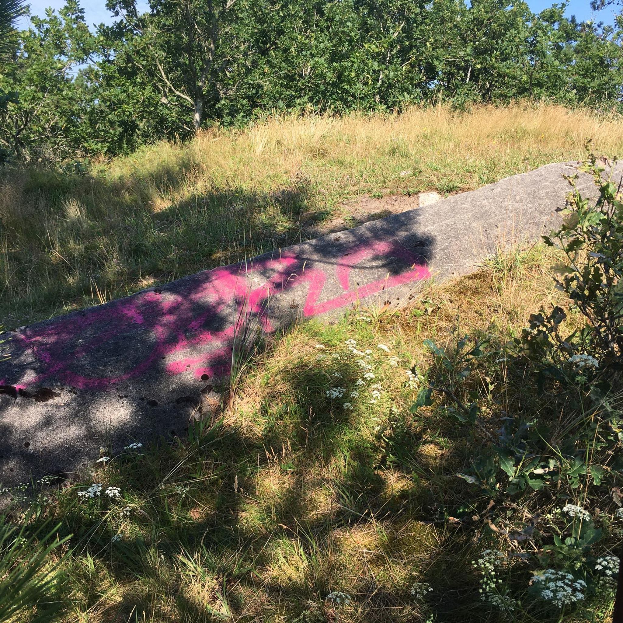
Only a short gravel section off the road
0
0


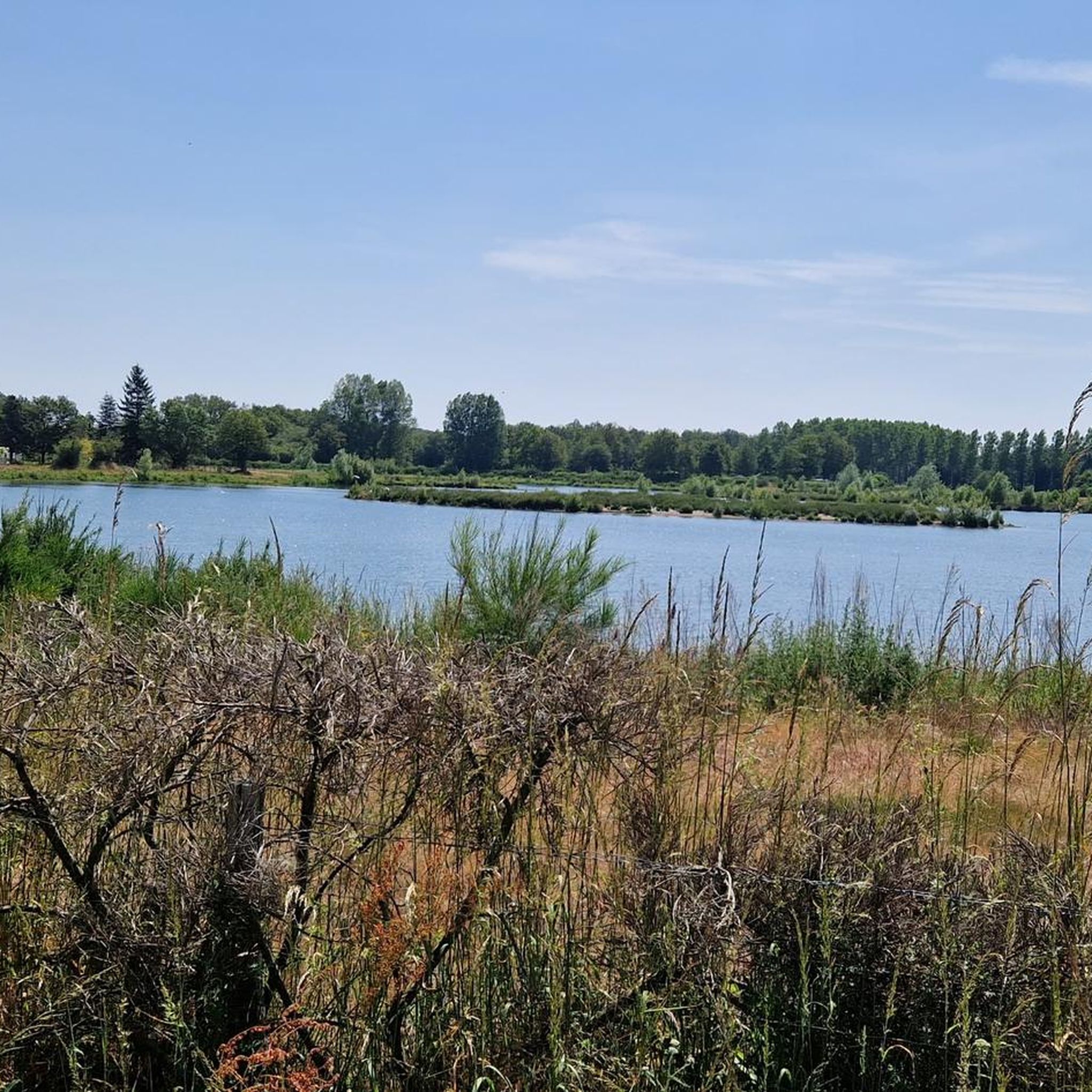
Perfect for a snack break. Superb view of the Loir and the castle!
0
0

Fortress built in the mid-11th century, it was rebuilt in the 17th century by the Carmelite monks who founded their monastery there. It became a private house after the revolution and, as the oldest building in the city, was converted into the town hall in the early 20th century.
0
0

Now merged with Lézigné, this small town was formerly the seat of small lordships until the Revolution. Its location between the foothills of the Armorican Massif and the Parisian basin gives it a particular character.
1
0

good cheap camping, picnic place and swimming pool here
0
0
Frequently Asked Questions
What kind of terrain can I expect on gravel bike trails around Montigné-Lès-Rairies?
The trails around Montigné-Lès-Rairies offer a diverse mix of terrain. You'll find extensive unpaved paths through the Forêt de Chambiers, rural roads winding through undulating countryside, and sections along regional rivers like the Loir. This blend provides varied challenges and scenic views away from paved surfaces.
Are there any easy gravel bike routes suitable for beginners in the area?
While the guide features routes primarily rated moderate to difficult, the region's 'Accueil Vélo' label suggests a general cycling-friendly environment. For a moderate introduction, consider the Le Verger Castle – Old mill and weir loop from Marcé, which is 30.7 km long and takes about 2 hours 19 minutes.
What are the options for longer or more challenging gravel bike rides?
For a significant challenge, the Mayenne - Old Maine – Angers Castle loop from L'Aurore is a difficult 139.0 km route that typically takes over 9 hours to complete, traversing diverse regional landscapes. This route offers substantial elevation gain and distance for experienced riders.
Are there any gravel bike trails that follow rivers or offer waterside views?
Yes, several routes incorporate riverside sections. The Loir River – Port of Villevêque loop from Lézigné is a popular moderate trail that explores paths along the Loir River, offering tranquil waterside scenery. Another option is the View of the Loir – Town Hall loop from Clefs, which also provides views of the Loir.
What historical or natural attractions can I see along the gravel bike routes?
The region offers a mix of natural beauty and historical sites. While riding, you might encounter the extensive Forêt de Chambiers. Nearby attractions include the historic Château de Durtal. The village of Montigné-Lès-Rairies itself features the 18th-century Château de La Fontaine and the 12th-century Saint-Pierre Church.
Are there any circular gravel bike routes around Montigné-Lès-Rairies?
Yes, all the featured gravel bike routes in this guide are loops. For example, you can enjoy the Moulin de la Bruyère – Town Hall loop from Saint-Quentin-lès-Beaurepaire, a moderate 48.5 km path that takes you through agricultural fields and peaceful countryside, bringing you back to your starting point.
What do other gravel bikers say about the trails in Montigné-Lès-Rairies?
The gravel biking routes around Montigné-Lès-Rairies are highly rated by the komoot community, with an average score of 4.4 stars. Riders often praise the varied terrain, from dense woodlands to rural roads, and the opportunities for both moderate and more difficult adventures.
Is Montigné-Lès-Rairies a good area for family-friendly gravel biking?
The region's 'Accueil Vélo' (Cyclists Welcome) label indicates a general commitment to cycling, which often includes family-friendly infrastructure. While specific 'easy' family routes aren't highlighted, the quieter rural roads and forest paths could be suitable for families with some cycling experience. Consider shorter, moderate loops like the Le Verger Castle – Old mill and weir loop from Marcé as a starting point.
What is the best time of year to go gravel biking in this region?
The Pays de la Loire region generally offers pleasant cycling conditions from spring through autumn. Spring brings blooming landscapes, while autumn provides beautiful foliage. Summer can be warm, but the extensive woodlands of the Forêt de Chambiers offer welcome shade. Always check local weather conditions before heading out.
Are there places to stop for refreshments or cafes along the gravel routes?
While specific cafe stops aren't detailed for each route, the region is known for its charming villages and rural amenities. The 'Accueil Vélo' label in the broader Anjou area suggests that cyclist-friendly services, including places for refreshments, are available. Planning your route to pass through villages will increase your chances of finding a cafe.
How many gravel bike trails are available in the Montigné-Lès-Rairies area?
There are 5 gravel bike trails detailed in this guide for the Montigné-Lès-Rairies area, offering a range of moderate to difficult options to explore the diverse landscapes.
Most popular routes around Montigné-Lès-Rairies
Most popular attractions around Montigné-Lès-Rairies

Get inspired with the komoot mobile app


Explore more
Browse the best Gravel rides in other regions.
