The best gravel rides around Serrières-Sur-Ain
11
riders
3
rides
Gravel biking around Serrières-Sur-Ain offers routes through varied landscapes, characterized by river valleys, forested hills, and scenic lake areas. The region features a mix of challenging ascents and descents, with routes often traversing both paved and unpaved surfaces. Elevation changes are common, providing diverse terrain for gravel cyclists.
Best gravel bike trails around Serrières-Sur-Ain
- The most popular gravel bike trail is Lake Nantua – Lac de Nantua loop from Brion - Montréal-la-Cluse, a 27.9 miles (44.9 km) route that…
Last updated: July 3, 2026
3
riders
41.2km
03:00
450m
450m
Hard gravel ride. Very good fitness required. Mostly paved surfaces. Suitable for all skill levels.
4
riders
21.0km
01:30
350m
350m
Moderate gravel ride. Good fitness required. Mostly paved surfaces. Suitable for all skill levels.

Sign up for free
2
riders
Hard gravel ride. Very good fitness required. Mostly paved surfaces. Suitable for all skill levels.
2
riders
40.7km
02:52
770m
770m
Hard gravel ride. Very good fitness required. Mostly paved surfaces. Suitable for all skill levels.
Our route recommendations are based on thousands of hikes, rides, and runs completed by other people on komoot.
Start today with a free account
Your next adventure awaits.
Login or Signup
Tips from the Community

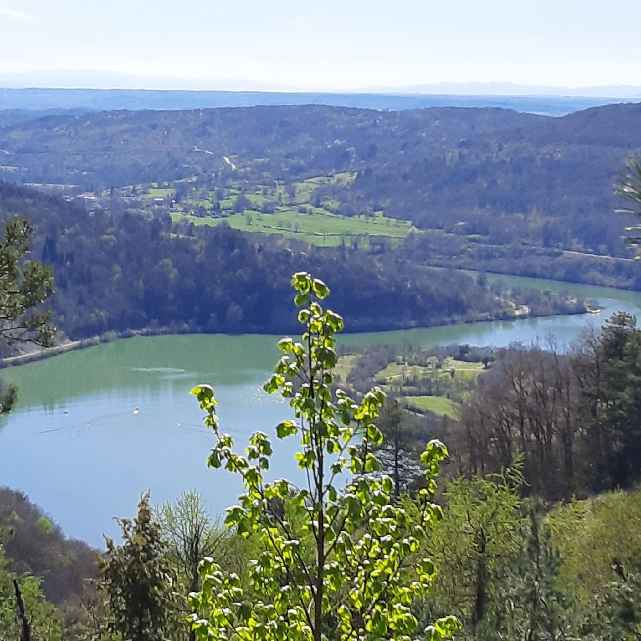
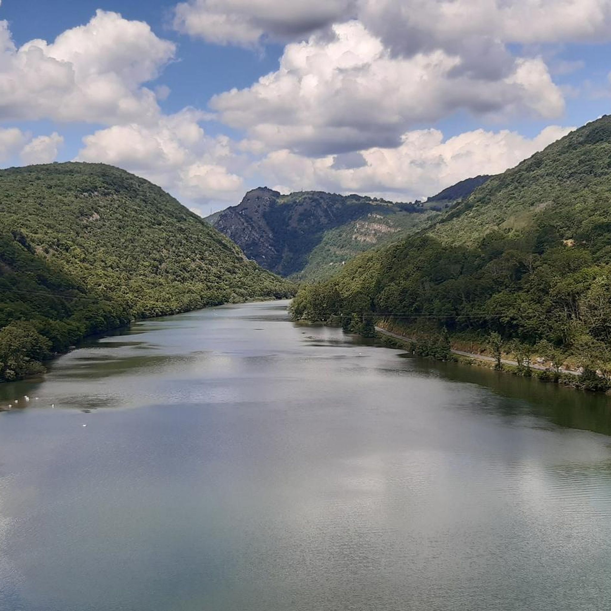
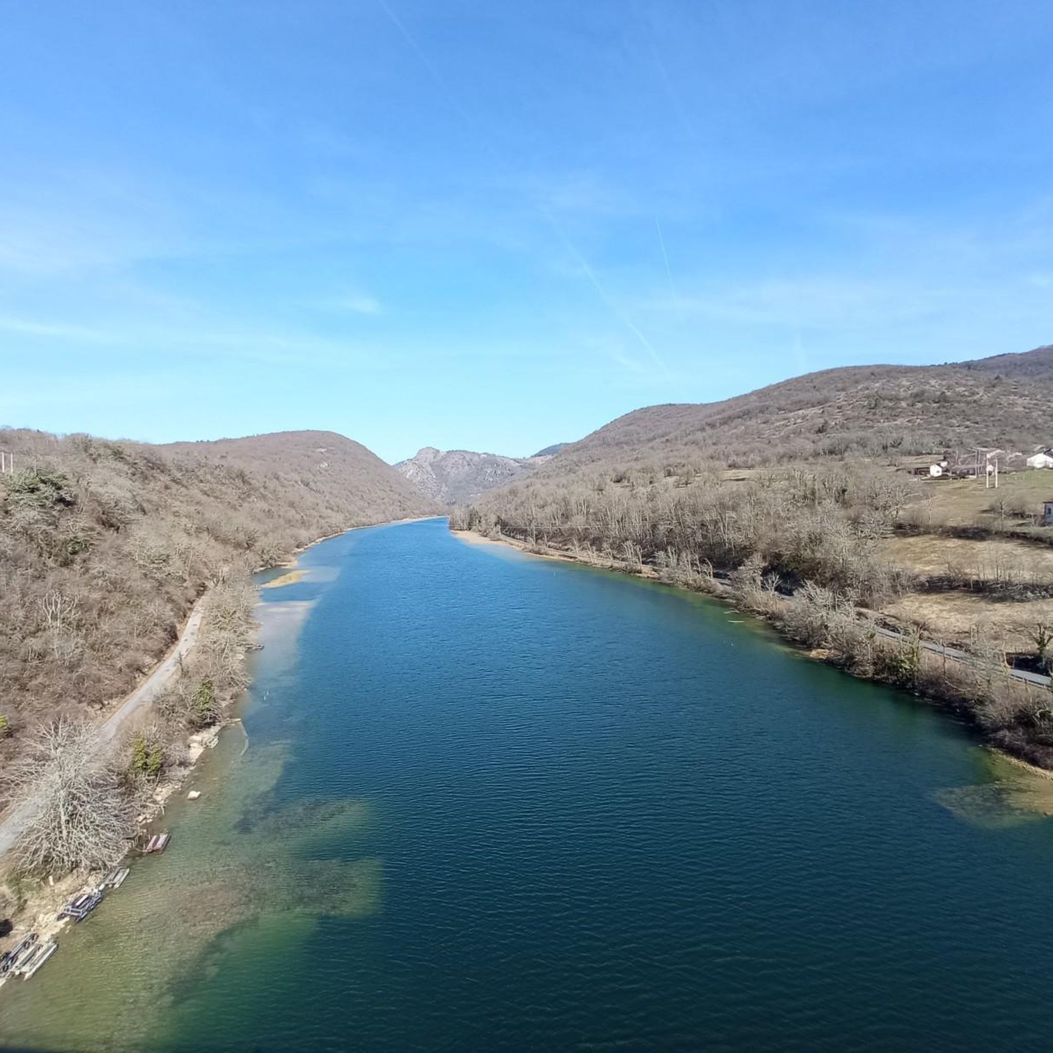
The Lac de Nantua is a superb body of water of 141 hectares. In the heart of the Jura, it offers an ideal setting for practicing a multitude of sports. It is even possible to swim in its waters.
1
0

The Abbey of Ambronay was founded in 800 by Barnard de Romans, a soldier, an officer of Charlemagne, and a future saint canonized in 944. The abbey church, built on the ruins of the Carolingian church, features gargoyles, sculptures, and paintings that will amuse children with their fascinating details. The cloister is a space of serenity that invites meditation: your imagination may perhaps chase some ghostly figures of monks. The visit will end in the gardens where you will discover medicinal plants on the botanical trail. https://www.ain-tourisme.com/visiter-patrimoine/monuments-religieux-a-visiter-dans-l-ain/abbaye-benedictine-dambronay/
0
0
Lavoir de Aromas and its water point with an old communal fire-fighting engine. Church of Saint-André nearby. Aromas and its seven hamlets were part of the fief of the castle of Montdidier, the ruins of which can still be seen today. The village of Aromas is dominated by the hill of Cuquelu, on which stands a beautiful statue of the Virgin dating from the mid-19th century. In front of the church stands a calvary cross protected and classified by decree of November 24, 1906. The villages of Aromas, Villeneuve les Charnod, Faverges, Burigna and Ceffia have a covered washhouse. The commune of Ceffia was attached in 1974. The commune of Burigna was attached in 1823. The commune of l'Hôpital was attached in 1823 with its hamlets of Marsonnas and Marcia. Villeneuve les Charnod and Faverges were attached in 2017. https://www.terredemeraude.fr/aromas/
0
0

Beautiful, simple, easy walk; lots of traffic noise on the "road" section, a bit of a shame, but the color of the water is magical
1
0

My phone was dead, and the tour was 38 km long with 1,100 meters of elevation gain. The terrain was very wet and snowy. In dry weather, the hike must be even more enjoyable, but you need to be in good physical condition; there are some really nice sections with beautiful views.
0
0

Unfortunately I was unlucky with the weather, but even as I drove past the place looked very nice, lots of grass and a place to swim.
0
0

beautiful village and superb abbey
1
0

Frequently Asked Questions
Are there easy gravel bike routes around Serrières-Sur-Ain for beginners?
While the region is known for its challenging terrain, most gravel bike routes around Serrières-Sur-Ain are rated as difficult. There is one moderate route, the Poncin — Medieval Village – View of the Viaduc de Poncin loop from Poncin, which offers a mix of village scenery and views of the local viaduct over 21 km.
What kind of terrain can I expect on gravel bike trails in Serrières-Sur-Ain?
Gravel biking around Serrières-Sur-Ain is characterized by varied landscapes, including river valleys, forested hills, and scenic lake areas. Routes often traverse both paved and unpaved surfaces, with significant elevation changes providing diverse terrain for cyclists.
Are there any circular gravel bike routes in the area?
Yes, all the gravel bike routes listed in this guide are circular. For example, you can enjoy the Lake Nantua – Lac de Nantua loop from Brion - Montréal-la-Cluse, which is a 44.9 km route with scenic lake views, or the Ambronay Abbey loop from Jujurieux, a 40.8 km trail through historical areas.
What are some interesting landmarks or natural sights to see along the gravel trails?
The region offers several points of interest. You can encounter the impressive Cize-Bolozon Viaduct, explore the Cerdon Caves, or visit the historic Chartreuse de Sélignac. For natural beauty, look out for the Cascade de la Pisse Vache waterfall.
How many gravel bike trails are available in Serrières-Sur-Ain?
There are over 10 gravel bike routes available in the Serrières-Sur-Ain region, offering a range of experiences from moderate to difficult, primarily through river valleys, forested hills, and lake circuits.
What do other gravel bikers say about the routes in Serrières-Sur-Ain?
The gravel bike routes in Serrières-Sur-Ain are highly rated by the komoot community, with an average score of 3.5 stars from several reviews. Over 30 gravel bikers have used komoot to explore the varied terrain, often praising the challenging ascents and scenic views.
Are there any longer distance gravel routes for experienced riders?
Yes, for experienced riders looking for longer distances, the Lake Genin – Lake Nantua loop from Nurieux-Volognat is a challenging 61.2 km route. Another option is the Quiet little road loop from Chartreuse du Val-Saint-Martin de Sélignac, which covers 29.1 km with significant elevation.
Is Serrières-Sur-Ain suitable for family-friendly gravel biking?
Given that most routes in Serrières-Sur-Ain are rated as difficult with significant elevation changes, it might be challenging for younger children or families seeking very easy, flat rides. The moderate Poncin — Medieval Village – View of the Viaduc de Poncin loop from Poncin could be a more suitable option for families with some biking experience.
What is the best time of year for gravel biking in Serrières-Sur-Ain?
While specific data isn't provided, generally, spring and autumn offer the most pleasant conditions for gravel biking in this region, with milder temperatures and beautiful scenery. Summer can be warm, and winter may bring colder weather and potentially snow in higher elevations, making some routes more challenging.
Are there any waterfalls near the gravel bike trails?
Yes, you can find the beautiful Cascade de la Pisse Vache, which is listed as a natural monument in the vicinity of Serrières-Sur-Ain. It's a great spot to visit if you're exploring the local trails.
How accessible are the gravel bike trails by public transport?
Information on direct public transport access to specific trailheads is not readily available in the guide. It is generally recommended to check local public transport schedules and routes for connections to towns like Serrières-Sur-Ain, Poncin, or Jujurieux, and plan your bike transport accordingly.
Most popular routes around Serrières-Sur-Ain
Most popular attractions around Serrières-Sur-Ain

Get inspired with the komoot mobile app


Explore more
Browse the best Gravel rides in other regions.
