The best gravel rides around Saint-Germain-De-Joux
4.3
(7)
54
riders
8
rides
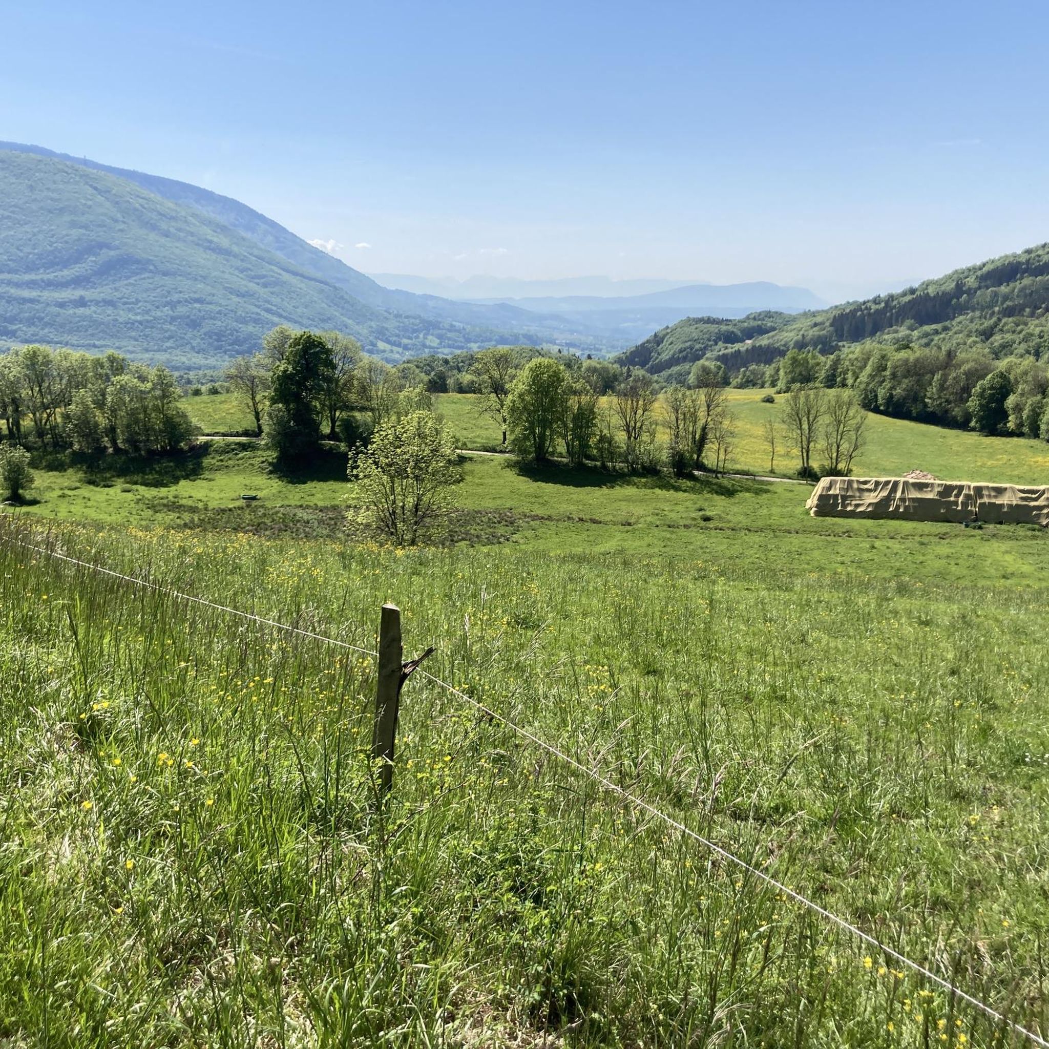
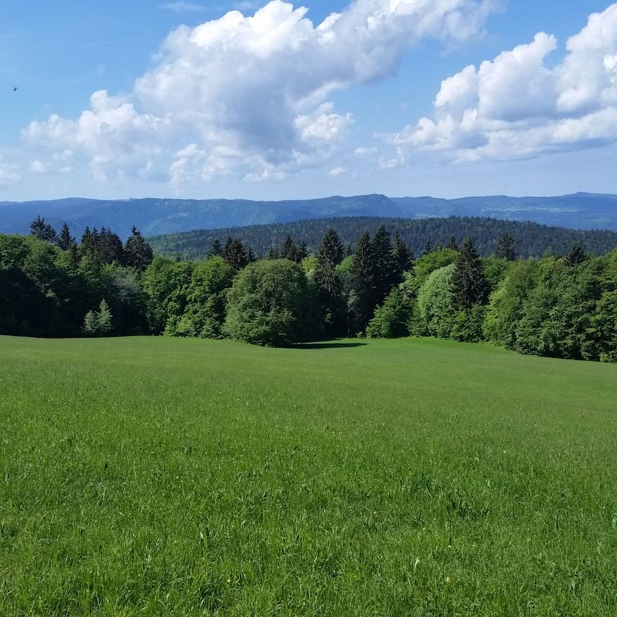
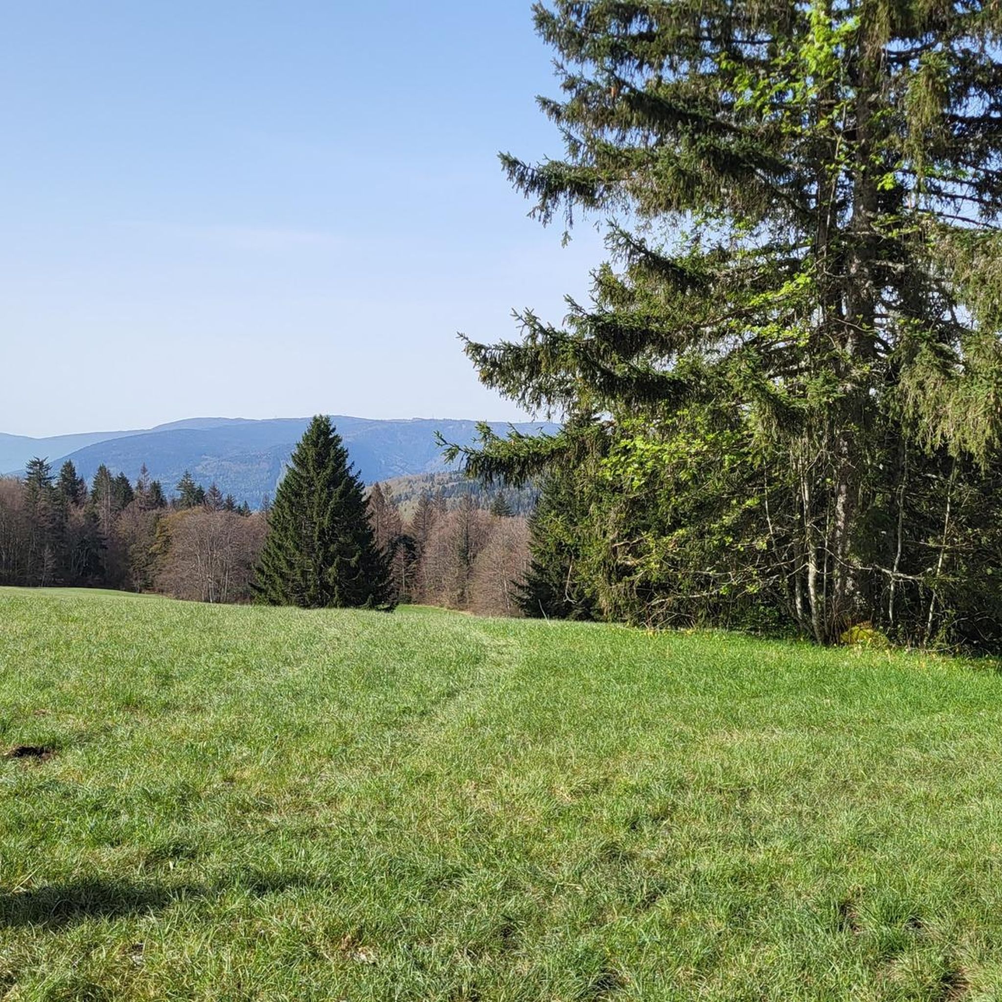
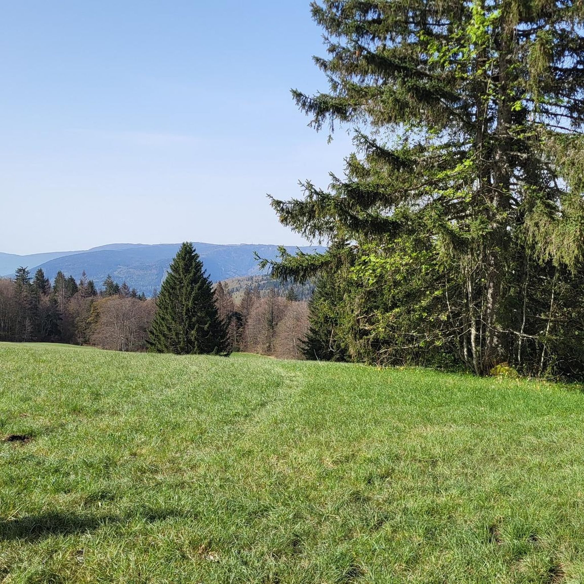
Gravel biking around Saint-Germain-De-Joux offers routes through varied terrain in the Jura mountains. The region is characterized by its plateaus, such as the Plateau de Retord, and deep river valleys like the Valserine Gorges. Riders can expect a mix of forest paths, open landscapes, and challenging climbs. The area provides a robust environment for gravel cycling, with elevation changes and natural features defining the experience.
Best gravel bike trails around Saint-Germain-De-Joux
- The most popular gravel bike trail is Plateau de…
Last updated: July 3, 2026
4.5
(2)
13
riders
39.8km
02:48
760m
760m
Hard gravel ride. Very good fitness required. You may need to push your bike for some segments of this route.
5.0
(2)
12
riders
24.1km
02:06
480m
480m
Hard gravel ride. Very good fitness required. Mostly paved surfaces. Suitable for all skill levels.

Sign up for free
4.5
(2)
11
riders
36.2km
02:32
660m
660m
Hard gravel ride. Very good fitness required. Mostly paved surfaces. Suitable for all skill levels.
8
riders
90.7km
07:15
2,270m
2,270m
Hard gravel ride. Very good fitness required. Mostly paved surfaces. Suitable for all skill levels.
3.0
(1)
8
riders
133km
10:05
2,840m
2,840m
Hard gravel ride. Very good fitness required. Mostly paved surfaces. Suitable for all skill levels.
Get access to more routes and recommendations from other explorers.
Sign up for free
Already have an account?
Our route recommendations are based on thousands of hikes, rides, and runs completed by other people on komoot.
Start today with a free account
Your next adventure awaits.
Login or Signup
Tips from the Community

The Lac de Nantua is a superb body of water of 141 hectares. In the heart of the Jura, it offers an ideal setting for practicing a multitude of sports. It is even possible to swim in its waters.
1
0
The Peney viewpoint overlooks Lake Sylans, on which it offers a beautiful view. Classified since 1909, one can distinguish on its banks the ruins of the old ice factories which commercialized the ice extracted from the lake until 1917. The passage is located at the level of the tunnel of the same name.
0
0
The Marron ponds are named after a family from Brénod, it is not a reference to the color of the water. Only one of them remains filled with water all year round. This one served as a water reserve and fishing spot for the monks of the Meyriat abbey. In spring, a multitude of water lilies cover the surface.
0
0

The Retord farm, located on the plateau of the same name, allows you to discover local products and offers a pleasant stop in a relaxing natural setting.
0
0


beautiful pass, quite rolling especially through St Germain de Joux, a little tougher on the Saint Claude side. lots of writing on the ground since the Tour de France passed through.
0
0

A 10 km climb from the small roundabout in Châtillon, it's more like 14 km from the Nantua road or the center of Bellegarde. The gradient is fairly steady, ranging from 5.5% to 7.2%, with about ten small steep sections at +8.5%. Very quiet, with very few cars. The road is generally in good condition, but nothing more. There are some beautiful views along the way.
1
1

This boundary stone marked the border between Franche-Comté (north) and French Bugey (south). To the east, the Pays de Gex was separated by the Sardinian Corridor, in which the Spanish Way was located.
0
0
Frequently Asked Questions
What is the general difficulty level of gravel bike trails around Saint-Germain-De-Joux?
The gravel biking routes in Saint-Germain-De-Joux are predominantly challenging, catering to experienced riders. Out of the 7 available routes, 6 are classified as difficult, featuring significant elevation changes and varied terrain through the Jura mountains. There is one moderate route, but no easy trails are listed.
Are there any long-distance gravel bike routes in the region?
Yes, Saint-Germain-De-Joux offers several long-distance options for gravel bikers. For instance, the La Roche Fauconnière – Col de Bérentin loop from Montanges is a challenging 72.6 km (45.1 miles) route with over 1750 meters of elevation gain. Another substantial ride is the Cuvéry Pass – Plateau de Retord loop from Champfromier, which spans 90.6 km (56.3 miles).
What kind of terrain can I expect on gravel bike trails in Saint-Germain-De-Joux?
You can expect a diverse and robust environment for gravel cycling. The region is characterized by its high plateaus, such as the Plateau de Retord, deep river valleys like the Valserine Gorges, and dense woodlands. Trails often combine forest paths, open landscapes, and challenging climbs, providing a varied and engaging experience.
Are there any family-friendly or beginner gravel bike trails available?
The gravel bike trails around Saint-Germain-De-Joux are primarily designed for experienced riders due to their challenging nature and significant elevation changes. Currently, there are no routes specifically classified as easy, and only one moderate route is available. Families or beginners might find these trails demanding.
What are some scenic viewpoints or natural attractions along the gravel routes?
The region offers stunning natural beauty. You can find expansive views on the Plateau de Retord, which is featured in several routes. The Pertes de la Valserine, a series of waterfalls and rapids, is another notable natural attraction. Additionally, many routes traverse various mountain passes like the Col de Bérentin and Cuvéry Pass, offering panoramic vistas.
Are there any circular gravel bike routes?
Yes, many of the gravel bike routes in Saint-Germain-De-Joux are designed as loops, allowing you to start and end at the same point. Examples include the Plateau de Retord – Terments Cross loop from Ochiaz and the Plateau de Retord – Cuvéry Pass loop from Ochiaz, both offering convenient circular journeys through the landscape.
What is the best season for gravel biking in Saint-Germain-De-Joux?
The best season for gravel biking in Saint-Germain-De-Joux is typically from late spring to early autumn (May to October). During these months, the weather is generally more stable, and trails are less likely to be affected by snow or heavy mud, especially at higher elevations in the Jura mountains. Always check local weather forecasts before heading out.
What do other gravel bikers say about the trails in Saint-Germain-De-Joux?
The gravel biking routes in Saint-Germain-De-Joux are highly regarded by the komoot community, holding an average rating of 4.75 stars from over 4 reviews. Riders often praise the challenging nature of the trails, the stunning views from the plateaus, and the immersive experience of cycling through varied natural landscapes.
Are there any specific landmarks or points of interest I should look out for?
Beyond the natural features, the region is dotted with interesting points. You might encounter various mountain passes like Menthières Pass or Belleroche Pass. For a different kind of attraction, Lake Nantua is a beautiful spot nearby, and the Crêt de Chalam offers a prominent summit view.
How many gravel bike trails are available in Saint-Germain-De-Joux?
There are 7 gravel bike trails documented around Saint-Germain-De-Joux on komoot. These routes offer a range of distances and elevation profiles, primarily catering to experienced gravel bikers looking for challenging rides through the Jura mountains.
Where can I find parking for gravel biking trailheads?
While specific parking locations are not detailed for every trailhead, many routes, such as the Valserine Gorges – Beautiful view of Bellegarde loop from Bellegarde, start from towns or villages like Bellegarde, Ochiaz, or Champfromier. These locations typically offer public parking options. It's advisable to check local maps or komoot tour details for precise starting points and parking availability before your ride.
Most popular routes around Saint-Germain-De-Joux
Most popular attractions around Saint-Germain-De-Joux

Get inspired with the komoot mobile app


Explore more
Browse the best Gravel rides in other regions.
