The best running trails around Puy-Malsignat
5.0
(6)
150
runners
28
runs
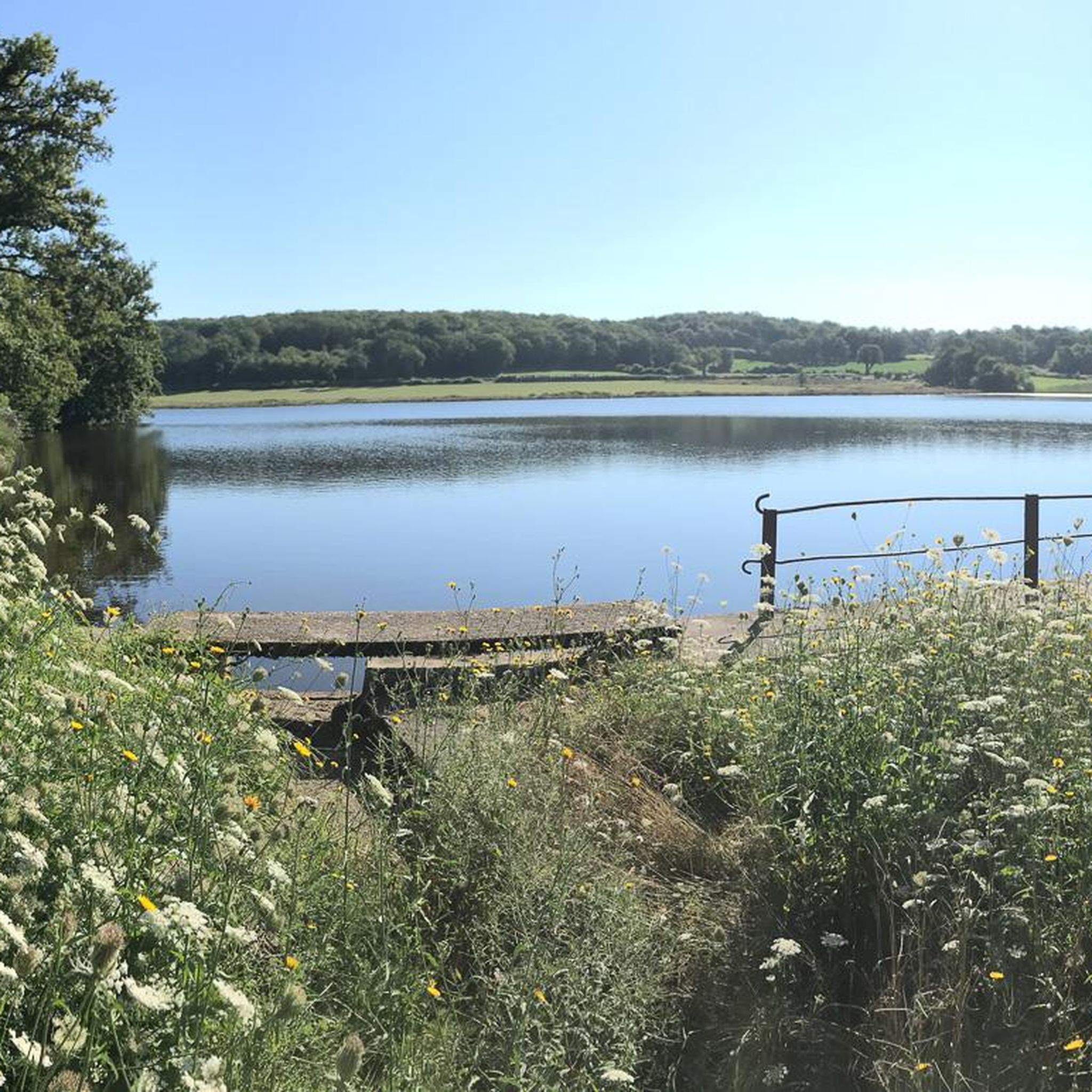
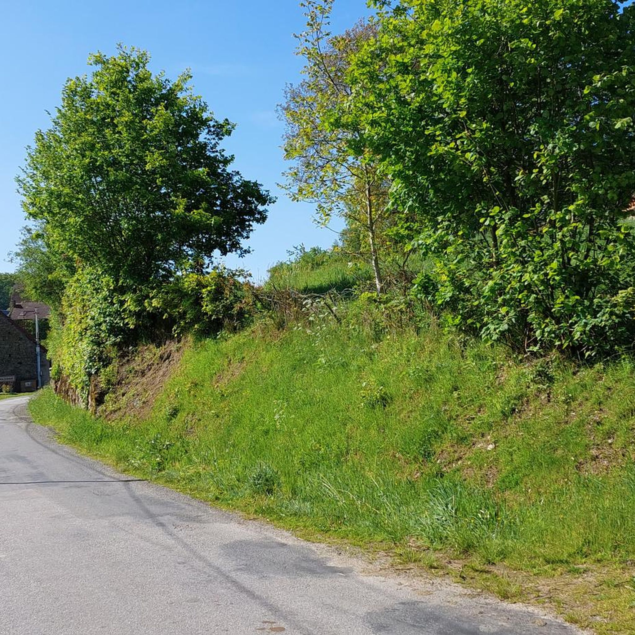
Jogging around Puy-Malsignat offers a naturally rich environment in the Creuse department of Nouvelle-Aquitaine. The region's elevation, ranging from 496 to 616 meters, provides varied terrain suitable for different levels of runners. This preserved, green, and wooded natural territory is characterized by lush landscapes and natural rock formations, creating scenic routes for running. The area features a mix of hilly and wooded terrain, alongside streams and ponds, ideal for immersive runs.
Best jogging routes around Puy-Malsignat
- The most popular jogging…
Last updated: May 22, 2026
36
runners
8.71km
01:01
170m
170m
Moderate run. Good fitness required. Mostly paved surfaces. Suitable for all skill levels.
38
runners
25.4km
03:01
700m
700m
Hard run. Very good fitness required. Mostly paved surfaces. Suitable for all skill levels.

Sign up for free
18
runners
7.66km
00:53
190m
190m
Moderate run. Good fitness required. Mostly paved surfaces. Suitable for all skill levels.
9
runners
6.13km
00:39
60m
60m
Moderate run. Good fitness required. Mostly paved surfaces. Suitable for all skill levels.
5.0
(1)
5
runners
6.50km
00:44
130m
130m
Moderate run. Good fitness required. Mostly paved surfaces. Suitable for all skill levels.
Get access to more routes and recommendations from other explorers.
Sign up for free
Already have an account?
Our route recommendations are based on thousands of hikes, rides, and runs completed by other people on komoot.
Start today with a free account
Your next adventure awaits.
Login or Signup

Tips from the Community

Overcrowded tourist village
0
0

Aubusson boasts several noteworthy buildings from the Middle Ages and more recent times. These include the clock tower from 1579, part of the town's fortifications. Aubusson also has museums dedicated to the production of tapestries and the Jean Lurçat Cultural Centre.
1
0
This old watchtower was integrated into the city's fortifications. Also called the "white tower", it is the last vestige of the enclosure that surrounded Aubusson. It was used to monitor movements in the city. On the facade of the tower, three dials facing the city indicate the time. It is easily recognizable with its pepperpot roof covered in chestnut shingles. It is decorated with a bell decorated with three small bas-reliefs: a mitred bishop.
2
0

This bridge is emblematic of Aubusson. Originally made of wood, it was essential for commercial exchanges on the road from Limoges to Clermont-Ferrand. It was rebuilt with stones from the castle (itself dismantled on the orders of Rochelieu). There remains a castle (from the 15th century) on the left bank, which formerly housed the archers in charge of the defense of the building.
1
0

Be careful if you have to go visit the museum, call before, they can close to the public without warning on the site.
0
0

The Pont de la Terrade in Aubusson was until the 18th century, the only crossing point of the Creuse on the main road leading to Limoges. This passage was gradually abandoned in favor of the later, larger Récollets bridge. Thus the Terrade bridge remains today in a remarkable state of conservation. It has undergone very few modifications related to the development of modern transport. Originally made of wood, it is deployed across the river from a stone pile. Natural rot, bad weather and the importance of the Creuse wines, the bridge became dangerous due to its dilapidated state despite various repairs from the middle of the 16th century. The need for reconstruction is felt. It was replaced by a stone bridge built between 1638 and 1641 with materials from the ruins of the old medieval castle of the first Viscounts of Aubusson, the Chapter. This Huguenot defensive stronghold was destroyed on the orders of Richelieu in 1632. The Pont de la Terrade, property of the town, was listed in the inventory of historical monuments on June 15, 1926. Carefully restored in 2009, this building preserved charm illustrates the typicality of the architecture of Aubusson.
0
0

This tower, which today is a clock, was once a watchtower and was an integral part of the city's fortifications, which have practically disappeared.
3
0

We can see this tower from afar. And she's not that easy to get to. But after many stairs, twists and turns, here I am!
1
0
Frequently Asked Questions
How many running routes are available around Puy-Malsignat?
There are over 30 dedicated running routes around Puy-Malsignat, offering a variety of options for different skill levels and preferences. The komoot community has explored 34 routes in total.
What is the general difficulty level of the running trails in this area?
The majority of running routes around Puy-Malsignat are classified as moderate, with 31 moderate trails available. There are also 2 more challenging routes and 1 easy route, ensuring options for various fitness levels.
What kind of terrain can I expect on the jogging routes around Puy-Malsignat?
You can expect a preserved, green, and wooded natural territory with varied elevation, ranging from 496 to 616 meters. The landscape features lush environments, natural rock formations, and tranquil waterside scenery, perfect for immersive runs.
Are there any circular running routes in Puy-Malsignat?
Yes, many routes are designed as loops. For example, the Plan d'eau de la Naute loop from Saint-Domet offers an 8.4 km moderate run around the tranquil waters. Another option is the Running loop from Puy-Malsignat, which is 8.4 km long and starts directly from the commune.
What do other runners enjoy most about jogging in Puy-Malsignat?
The area is highly rated by the komoot community, with an average score of 5.0 stars from 8 reviews. Runners often praise the serene, green, and wooded natural territory, the varied elevation, and the abundance of fresh air, making for a peaceful and scenic running experience.
Are there any easy running routes suitable for beginners?
While most routes are moderate, there is at least one easy running route available. These trails are generally less demanding in terms of elevation and distance, providing a gentle introduction to running in the region.
Are the running trails around Puy-Malsignat family-friendly?
Yes, the preserved natural environment and varied terrain offer options suitable for families. Look for routes with lower elevation gains and shorter distances, particularly the easy-rated trails, for a pleasant family outing. The general tranquility of the area is also ideal for families.
Can I bring my dog on the running trails?
Many natural trails in the region are dog-friendly, but it's always recommended to keep your dog on a leash, especially in protected natural areas like Pinaud Pond, and to respect local regulations and other trail users. Always carry waste bags.
Are there any interesting landmarks or natural sights along the running routes?
Absolutely! You can encounter several points of interest. The Terrade Bridge near Aubusson is a notable historic landmark. The Pinaud Pond is a natural area of ecological interest, offering a picturesque backdrop. The nearby Les Pierres Jaumâtres also feature natural rock formations in a beautiful forested environment.
Is there public transport available to access the running routes?
While specific public transport links directly to all trailheads might be limited in this rural area, Puy-Malsignat is situated near Aubusson, which may offer more transport options. For local routes, personal transport is often the most convenient way to reach starting points.
Are there options for parking near the trailheads?
Parking availability varies by trailhead. Many routes, especially those starting from villages or popular natural sites, will have designated parking areas. It's advisable to check specific route details on komoot for parking information before you go.
What is the 'Circuit de randonnée : Jean Petit' and is it suitable for running?
The 'Circuit de randonnée : Jean Petit' is a specific walking route starting from Puy-Malsignat. While primarily designed for hiking, many walking routes in the region, including this one, can be utilized by joggers due to the preserved natural environment. You can find more details on tourisme-creuse.com.
Can I find running routes that pass by water features?
Yes, the region features several water bodies. The Plan d'eau de la Naute loop from Champagnat is an excellent example, winding around the tranquil waters of the Plan d'eau de la Naute. The ecologically significant Pinaud Pond also offers a serene waterside setting.
Most popular attractions around Puy-Malsignat

Get inspired with the komoot mobile app


Explore more
Browse the best Running Trails & Routes in other regions.
