The best walks and hikes around Bussière-Nouvelle
4.6
(21)
63
hikers
24
hikes
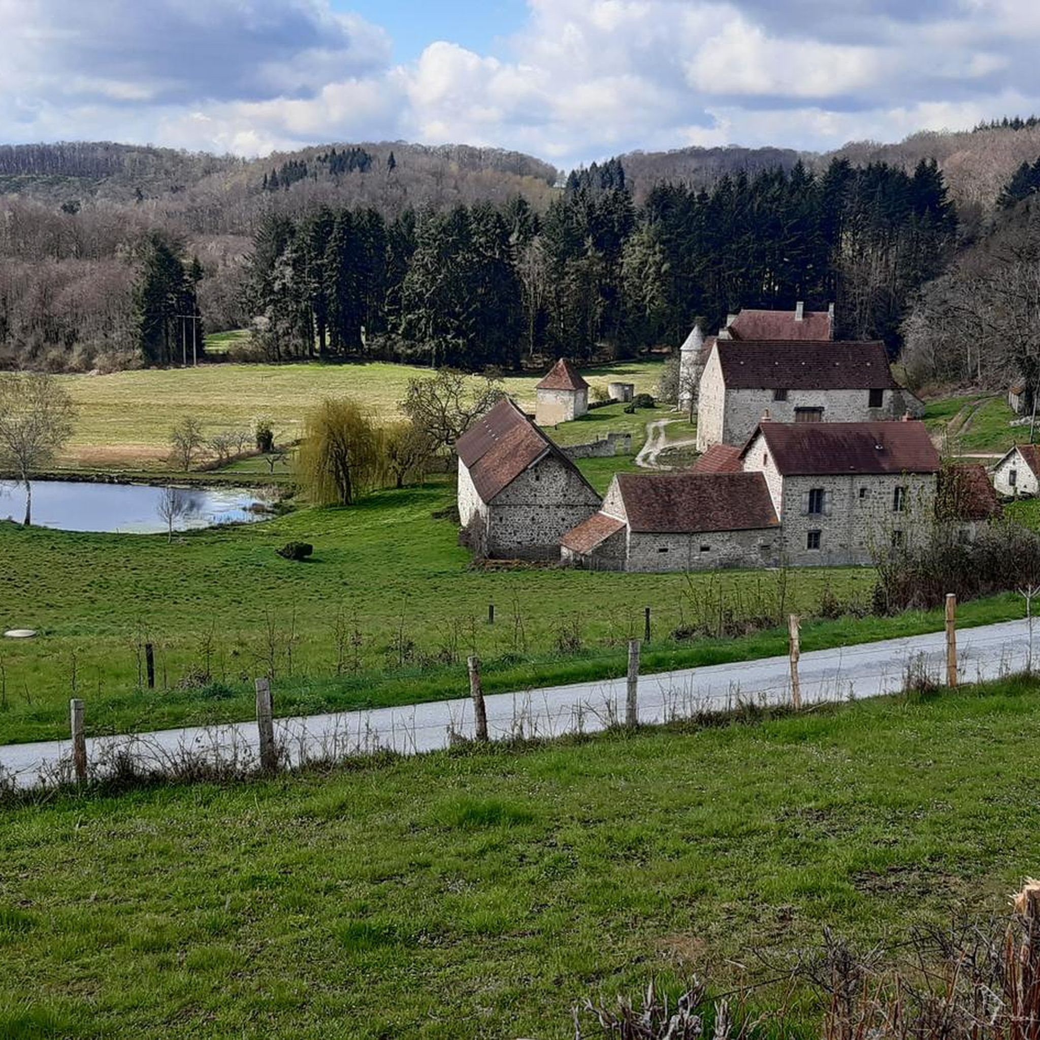
Hiking around Bussière-Nouvelle offers diverse landscapes in the Creuse department of Nouvelle-Aquitaine, with terrain ranging from 571m to 687m in altitude. The region features a mix of pastoral trails, dense woodlands, and access to the Millevaches Plateau, known for its bogs, moors, and forests. Hikers can explore paths through varied environments, including areas near lakes and rivers.
Best hiking trails around Bussière-Nouvelle
- The most popular hiking route is Pouges du Puy de la Croix loop from Lupersat, a 7.4…
Last updated: July 3, 2026
4.9
(9)
17
hikers
11.9km
03:23
260m
260m
Moderate hike. Good fitness required. Easily-accessible paths. Suitable for all skill levels.
5.0
(1)
6
hikers
9.12km
02:30
150m
150m
Moderate hike. Good fitness required. Easily-accessible paths. Suitable for all skill levels.

Sign up for free
3
hikers
8.60km
02:18
100m
100m
Moderate hike. Good fitness required. Easily-accessible paths. Suitable for all skill levels.
5.0
(1)
4
hikers
4.08km
01:06
50m
50m
Easy hike. Great for any fitness level. Easily-accessible paths. Suitable for all skill levels.
5.0
(1)
3
hikers
3.94km
01:05
60m
70m
Easy hike. Great for any fitness level. Easily-accessible paths. Suitable for all skill levels.
Get access to more routes and recommendations from other explorers.
Sign up for free
Already have an account?
Our route recommendations are based on thousands of hikes, rides, and runs completed by other people on komoot.
Start today with a free account
Your next adventure awaits.
Login or Signup


Tips from the Community

The history of the castle dates back at least to 1195, when it was owned by the Durat family. It is classified as a historic monument. But it was the subject of reconstruction between the 16th and 19th centuries.
0
0

Ridge course, formerly a Gallo-Roman path called "pouge", and therefore bordered on each side by mossy stone walls. Very beautiful place with the Puy de la Croix to the south and a beautiful valley to the north!
0
0
Frequently Asked Questions
What kind of landscapes can I expect to see while hiking around Bussière-Nouvelle?
The region around Bussière-Nouvelle offers a diverse range of landscapes. You'll find pleasant walks through pastures and dense woodlands, with terrain varying from 571m to 687m in altitude. The area also provides access to the Millevaches Plateau, known for its unique ecosystems including bogs, ponds, moors, and forests, which are protected under Natura 2000. Additionally, many routes are near lakes and rivers, offering scenic waterside views.
Are there any easy hiking trails suitable for beginners or a relaxed stroll?
Yes, Bussière-Nouvelle has several easy trails. For a shorter, relaxed walk, consider the Beautiful hollow path loop from Auzances. This easy 3.6 km route takes about 57 minutes to complete and features a gentle elevation gain of around 49 meters, leading through local paths.
What are the typical durations for hikes in this area?
Hiking durations around Bussière-Nouvelle vary depending on the trail's length and difficulty. You can find shorter walks like the Beautiful hollow path loop from Auzances, which takes less than an hour. Moderate trails, such as the Pouges du Puy de la Croix loop from Lupersat (11.9 km), typically take around 3 hours and 22 minutes.
Are there any circular hiking routes available?
Yes, many of the trails around Bussière-Nouvelle are circular, allowing you to start and end at the same point. Examples include the Pouges du Puy de la Croix loop from Lupersat, the Vue sur Auzances – Croix loop from Auzances, and the Étang de la Combe loop from Sermur.
What do other hikers say about the trails in Bussière-Nouvelle?
The hiking trails in Bussière-Nouvelle are highly regarded by the komoot community, with an average rating of 4.8 stars from over 18 reviews. Hikers often praise the varied terrain, which includes pastoral and woodland paths, and the natural beauty of the Millevaches Plateau. Over 50 hikers have used komoot to explore the area, indicating its popularity among outdoor enthusiasts.
Are there any specific natural features or landmarks to look out for on the trails?
Yes, the region offers several interesting natural features and landmarks. You might encounter the Pouges du Puy de la Croix, or the historic Puy de Faux bridge. The broader area is also known for the Millevaches Plateau with its unique bogs and forests, and significant lakes like Lac de Vassivière are nearby, offering additional scenic beauty.
Can I find trails that pass by lakes or water features?
Absolutely. The region around Bussière-Nouvelle is characterized by its proximity to several lakes and water features. While specific routes may vary, you can find trails that lead near or around bodies of water, such as the Étang de la Combe loop from Sermur. The larger Lac de Vassivière, a vast inland sea, is also within the broader area, offering extensive shoreline for exploration.
What is the best time of year to go hiking in Bussière-Nouvelle?
The Millevaches Plateau, which is part of the Limousin region where Bussière-Nouvelle is located, experiences distinct seasonal changes. The changing seasons paint the landscapes with vibrant hues, from lush greens in spring and summer to ochre, red, and orange in autumn. This suggests that spring, summer, and autumn all offer beautiful conditions for hiking, each with its unique visual appeal.
Are there any family-friendly hiking options in the area?
Yes, there are options suitable for families. Shorter, easier routes with minimal elevation gain are ideal. For instance, the Beautiful hollow path loop from Auzances is an easy 3.6 km trail that takes less than an hour, making it a good choice for families with children. The nearby Pierres Jaumâtres also offers a leisure park with activities like mini-golf and adventure courses, complementing outdoor family excursions.
Are there any historical sites or cultural attractions accessible from the hiking trails?
The Creuse department, where Bussière-Nouvelle is situated, is rich in heritage. While specific trails might not directly pass through major historical sites, the region is known for its castles, abbeys, and Celtic stone monuments. Some hiking routes may start from historic locations, such as the Chateau des Portes, allowing you to combine your hike with a touch of local history.
What is the typical elevation gain on hikes around Bussière-Nouvelle?
The elevation gain on hikes around Bussière-Nouvelle varies. Easy trails, like the Beautiful hollow path loop from Auzances, have a modest gain of about 49 meters. More moderate routes, such as the Pouges du Puy de la Croix loop from Lupersat, can involve elevation gains of over 250 meters, offering more challenging ascents.
Are there any trails that offer good viewpoints or panoramic vistas?
Yes, some trails are known for their scenic views. The Vue sur Auzances – Croix loop from Auzances, for example, is specifically highlighted for offering views over the surrounding countryside. The varied terrain and higher altitudes in some areas provide opportunities for elevated viewpoints across the pastoral and woodland landscapes.
Most popular attractions around Bussière-Nouvelle

Get inspired with the komoot mobile app


Explore more
Browse the best Hikes in other regions.
