The best gravel rides around Mont-Bonvillers
3.0
(1)
29
riders
13
rides
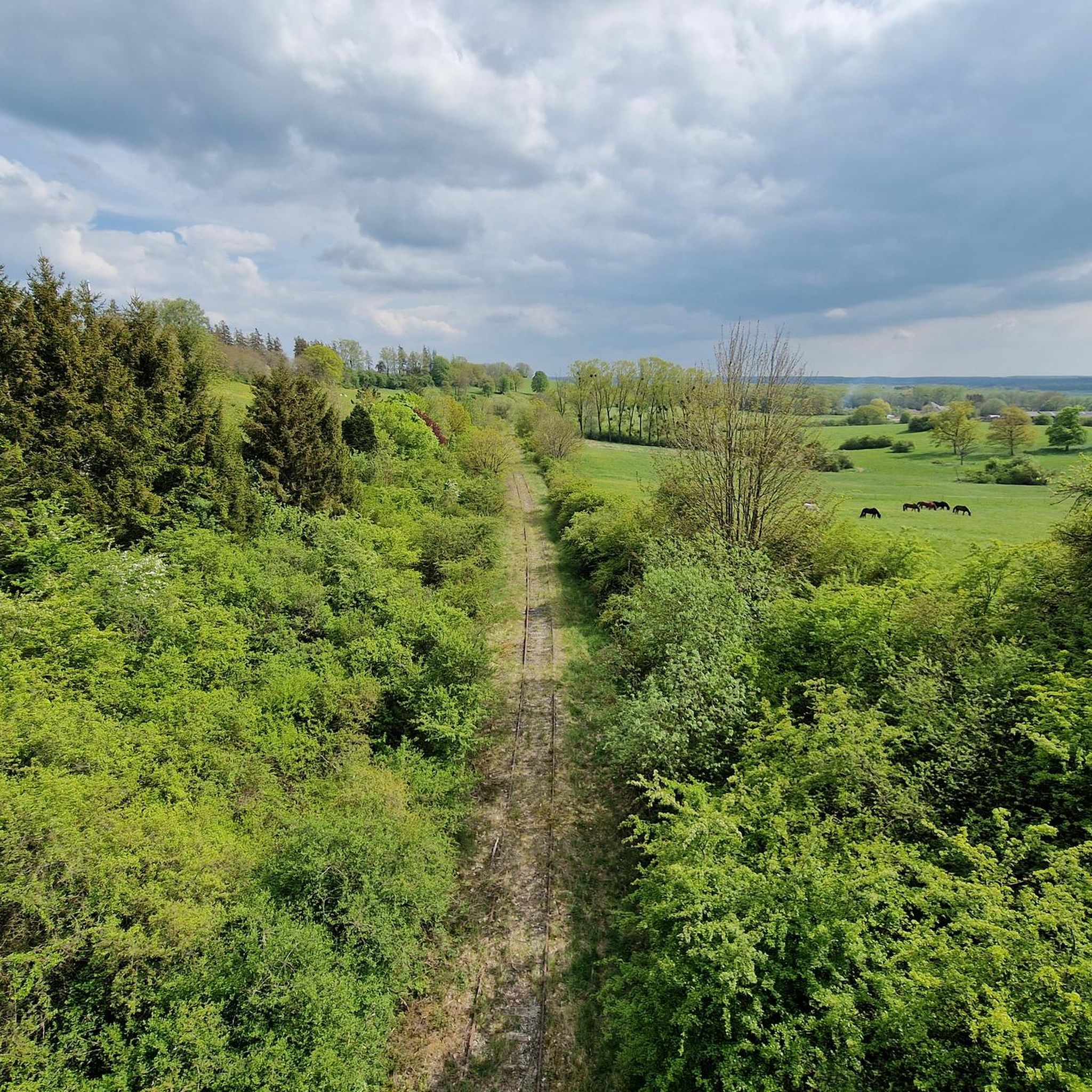
Gravel biking around Mont-Bonvillers offers access to the varied terrain of France's Meurthe-et-Moselle department. The region features extensive deciduous forests and wooded hills, providing numerous shaded routes and paths. Riders can also explore picturesque river valleys, such as those of the Moselle and Meurthe, which often include developed cycle paths. Open plateaus and verdant countryside offer sweeping views and a network of rural roads suitable for gravel exploration.
Best gravel bike trails around Mont-Bonvillers
- The most popular gravel bike trail is Eiffel Viaduct of Serrouville – Quite a strange gateway loop from Audun-le-Roman, a 54.4 miles (87.6 km) trail that takes about 6 hours to complete. This difficult route features significant elevation gain through the regional landscape.
- Another top favourite among local gravel bikers is Beautiful slopes – Colline McDonnald loop from Lommerange, a moderate 19.8 miles (31.9 km) path. This route offers a mix of varied terrain and scenic views, typically completed in about 2 hours 15 minutes.
- Local gravel bikers also love the Aéroclub de Serrouville – Eiffel Viaduct of Serrouville loop from Fillières, a 16.8 miles (27.0 km) trail leading through forested areas and open countryside, often completed in about 2 hours 10 minutes.
- Gravel biking around Mont-Bonvillers is defined by extensive forests, river valleys, and open plateaus. The network offers options for both moderate and more difficult routes, catering to various skill levels.
- The routes in Mont-Bonvillers have a rating of 3.0 stars from 1 review. More than 20 gravel bikers have used komoot to explore Mont-Bonvillers's varied terrain.
Last updated: July 3, 2026
6
riders
85.1km
05:44
830m
830m
Hard gravel ride. Very good fitness required. Mostly paved surfaces. Suitable for all skill levels.
2
riders
Moderate gravel ride. Good fitness required. Mostly paved surfaces. Suitable for all skill levels.

Sign up for free
3
riders
30.4km
02:23
280m
280m
Moderate gravel ride. Good fitness required. Mostly paved surfaces. Suitable for all skill levels.
3.0
(1)
1
riders
15.0km
01:08
200m
200m
Moderate gravel ride. Good fitness required. Mostly paved surfaces. Suitable for all skill levels.
4
riders
73.6km
04:43
540m
530m
Hard gravel ride. Very good fitness required. Mostly paved surfaces. Suitable for all skill levels.
Get access to more routes and recommendations from other explorers.
Sign up for free
Already have an account?
Our route recommendations are based on thousands of hikes, rides, and runs completed by other people on komoot.
Start today with a free account
Your next adventure awaits.
Login or Signup
Tips from the Community

The Orne is a beautiful river
0
0

with family
0
0

💧 Plan d'Eau de la Sangsue – Small Natural Lake Tucked away in the countryside lies the Plan d'Eau de la Sangsue, a small natural lake with wild shoreline vegetation, calm waters, and a natural charm. While its name ("Leech Pond") is unusual, the body of water is a peaceful spot for walkers, nature lovers, and birdwatchers. 🌿 Surrounded by forest and meadows, the pond is a refuge for amphibians, insects, and waterfowl. A narrow path leads along the shore – ideal for a quiet break in nature. Tip: Particularly beautiful in spring or when there is light fog – then the pond appears almost mystical. Perfect for a quiet rest off the beaten track.
0
0

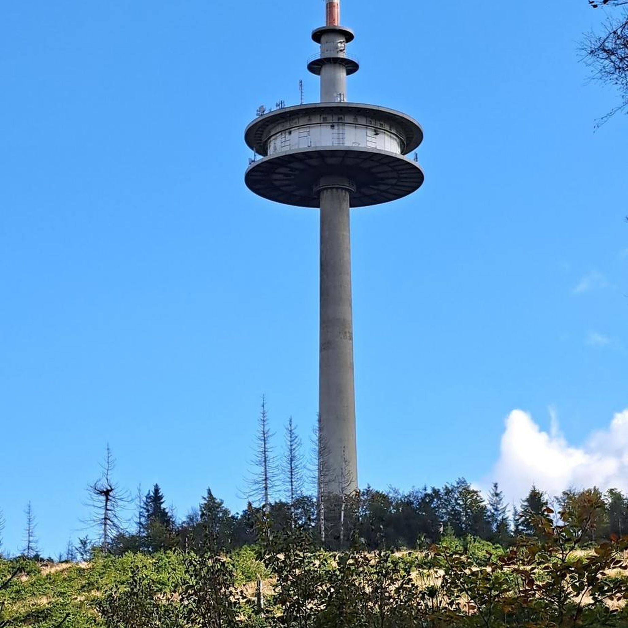
Built between 1902 and 1904 by Gustave Eiffel. Destroyed in 1940 by French troops, the viaduct was rebuilt identically in 1949.
0
0
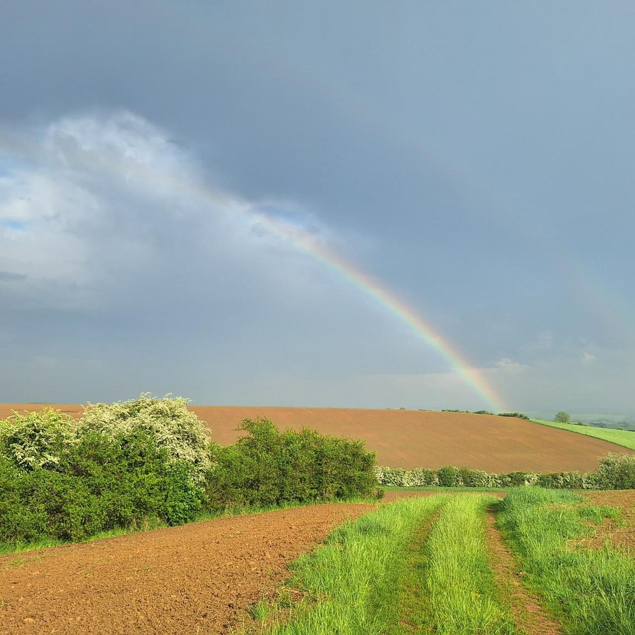
This route is very pretty, but it is best done with a mountain bike or hybrid bike. The paths are quite passable in dry weather.
0
0

Very beautiful pond with a lot of activities for children (playground and outdoor activity park)
0
0

Great body of water in the early morning
1
0

Nice view of the Briotin lake. To see with family.
0
0
Frequently Asked Questions
How many gravel bike trails are available around Mont-Bonvillers?
There are over 10 gravel bike routes available for exploration around Mont-Bonvillers, offering a variety of experiences for different skill levels. You'll find a mix of moderate and difficult trails to choose from.
What kind of terrain can I expect on gravel bike trails near Mont-Bonvillers?
The region around Mont-Bonvillers is characterized by diverse terrain, perfect for gravel biking. You'll encounter extensive deciduous forests, wooded hills, picturesque river valleys (like the Moselle and Meurthe), open plateaus, and a network of rural roads. This variety ensures both shaded routes and sweeping views.
Are there any easy gravel bike trails suitable for beginners or families?
While the guide highlights several moderate routes, the region's network of rural roads and less challenging paths within forests and countryside can be suitable for beginners. For a moderate option, consider the Filieres au Printemps loop from Mercy-le-Haut, which is about 15 km long and takes around 1 hour 20 minutes.
What are some notable landmarks or natural features to see along the gravel routes?
Many routes offer scenic views and pass by interesting points. You might encounter the impressive Eiffel Viaduct of Serrouville. The broader Meurthe-et-Moselle area also features natural sites like the Plan d'Eau de la Sangsue, known for its peaceful natural settings, and historical sites such as the Church of Mance.
Are there any circular gravel routes available?
Yes, many of the gravel routes around Mont-Bonvillers are designed as loops. For example, the Beautiful slopes – Colline McDonnald loop from Lommerange is a moderate 31.9 km route, and the Aéroclub de Serrouville – Eiffel Viaduct of Serrouville loop from Fillières offers a 27 km ride through forested areas.
What is the best time of year for gravel biking in this region?
The Meurthe-et-Moselle department, where Mont-Bonvillers is located, offers pleasant conditions for gravel biking during spring, summer, and early autumn. These seasons provide comfortable temperatures and lush landscapes. The extensive forests also offer shaded routes during warmer months.
Are there any long-distance or challenging gravel routes?
For those seeking a challenge, the region offers more difficult routes with significant elevation gain. A notable option is the Eiffel Viaduct of Serrouville – Quite a strange gateway loop from Audun-le-Roman, a demanding 87.6 km trail that typically takes around 6 hours to complete.
What do other komoot users say about gravel biking in Mont-Bonvillers?
The gravel biking routes around Mont-Bonvillers have received a rating of 3.0 stars from the komoot community. Over 20 gravel bikers have used komoot to explore the varied terrain, appreciating the mix of forests, river valleys, and open plateaus.
Is public transport available to access the gravel trails?
While specific public transport links directly to trailheads from Mont-Bonvillers are not detailed, the Meurthe-et-Moselle department generally supports outdoor activities. It's advisable to check local bus or train services for connections to nearby towns that might serve as starting points for routes. Planning your trip with a focus on access points from larger towns could be beneficial.
Are there opportunities for wildlife spotting while gravel biking?
The extensive forests and natural areas, including those around the Plan d'Eau de la Sangsue, provide excellent opportunities for wildlife observation. Birdwatching is popular in these peaceful settings, and you may encounter various forest animals while riding through the tranquil wooded paths.
Where can I find parking for gravel biking routes?
Many gravel routes in the region start from villages or towns where public parking is typically available. For routes like the Eiffel Viaduct of Serrouville – Aéroclub de Serrouville loop from Serrouville, starting points in towns like Serrouville would likely offer parking options. It's recommended to check the specific tour details on komoot for suggested starting points and parking information.
Most popular routes around Mont-Bonvillers
Most popular attractions around Mont-Bonvillers

Get inspired with the komoot mobile app


Explore more
Browse the best Gravel rides in other regions.
