The best gravel rides around Frontenex
5.0
(2)
10
riders
3
rides
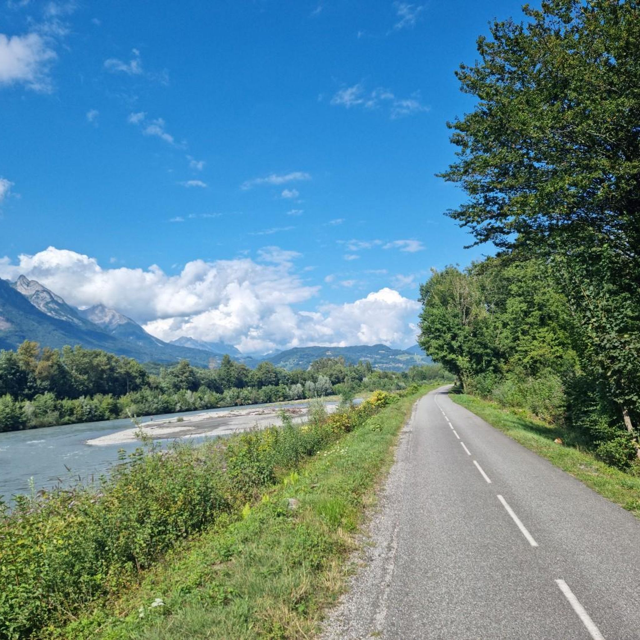
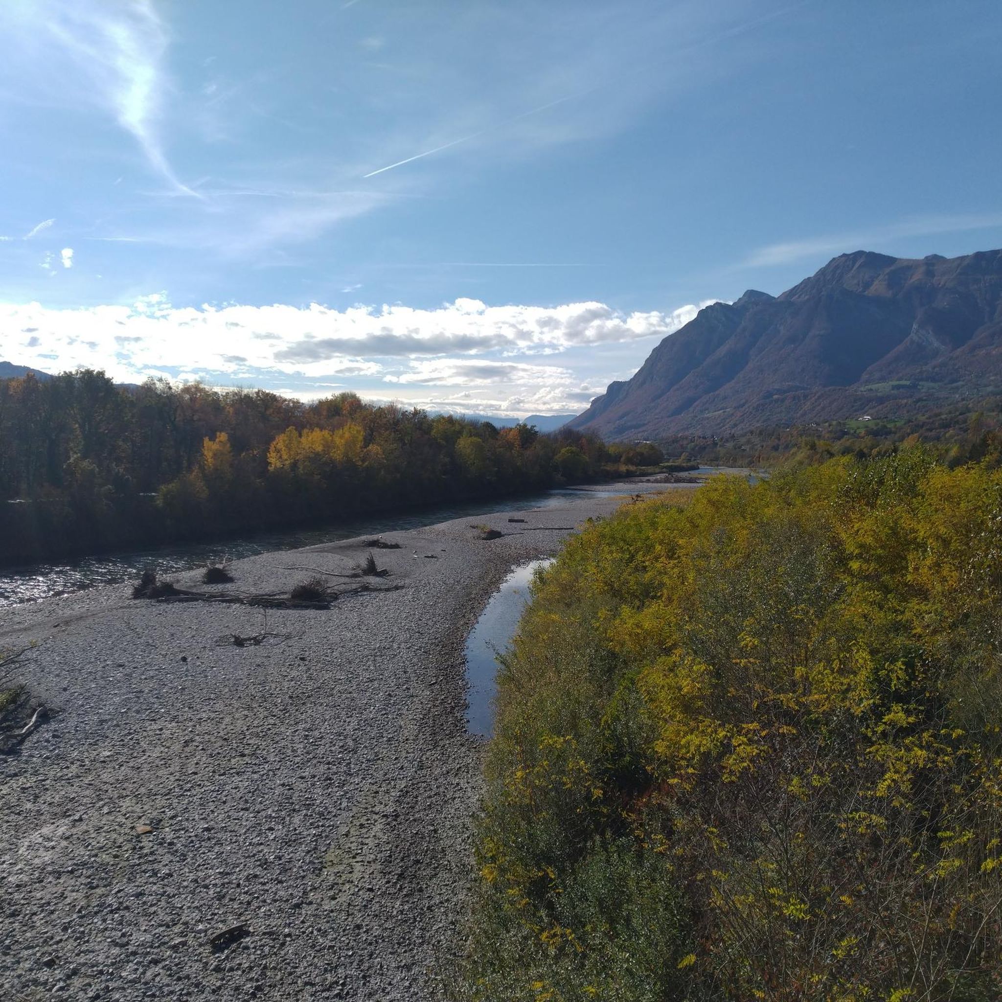
Gravel biking around Frontenex, located in the Savoie department of France, offers diverse terrain for cyclists. The region is characterized by river valleys, dedicated bike paths, and challenging mountain passes, providing a mix of flat sections and significant elevation changes. Landscapes include vineyards, agricultural expanses, and forest roads, with opportunities for gravel cycling around the Bauges mountains and along the Isère River. This varied environment caters to different fitness and skill levels.
Best gravel bike trails around Frontenex
- The most…
Last updated: May 22, 2026
5.0
(2)
2
riders
31.4km
02:00
310m
310m
Moderate gravel ride. Good fitness required. Mostly paved surfaces. Suitable for all skill levels.
4
riders
49.2km
03:37
1,110m
1,110m
Hard gravel ride. Very good fitness required. Mostly paved surfaces. Suitable for all skill levels.

Sign up for free
2
riders
18.1km
01:16
230m
240m
Moderate gravel ride. Good fitness required. Mostly paved surfaces. Suitable for all skill levels.
2
riders
57.0km
04:15
1,440m
1,440m
Hard gravel ride. Very good fitness required. Mostly paved surfaces. Suitable for all skill levels.
Our route recommendations are based on thousands of hikes, rides, and runs completed by other people on komoot.
Start today with a free account
Your next adventure awaits.
Login or Signup



Tips from the Community

Surrounded by mountains, a castle, vineyards, fields, and streams, what more could you ask for
0
0

The place is clean and pleasant. There's room for everyone: fishermen, walkers, swimmers, cyclists...
0
0
The place is nice and clean. Ideal for fishing and plenty of room for swimming. A greenway runs alongside the pond...
0
0


The descent between the Sambuy resort and La Glaise offers playful forest trails with a few jumps.
0
0

A hill with a lot of traffic, better on roads that run parallel.
0
0
This locality, born from the merger of Faverges and Seythenex, is located between Lake Annecy and the Bauges massif. Nestled in the valley of the same name, it is endowed with a historical heritage, museums, sporting activities and varied landscapes.
0
0
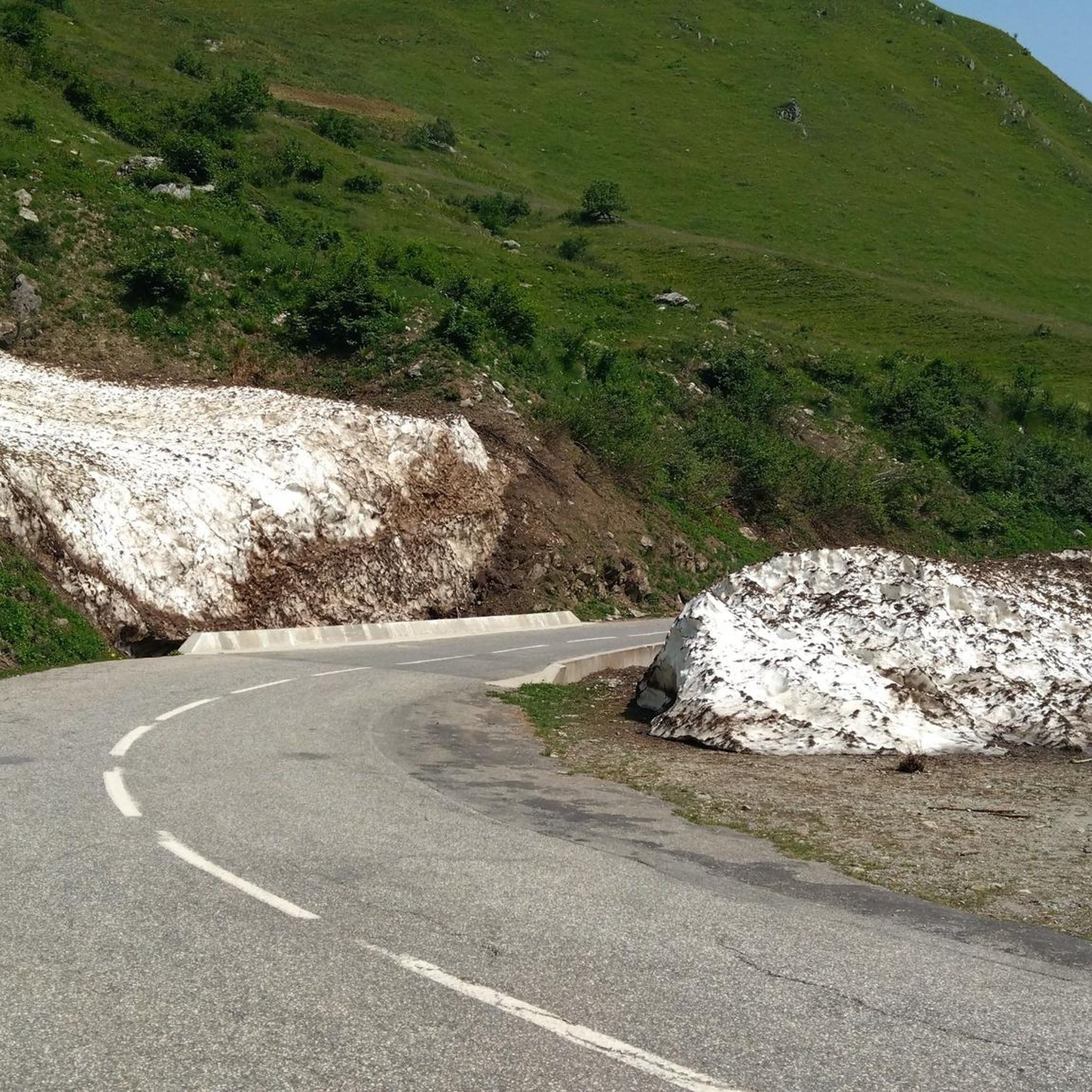
Located at an altitude of 907 meters, this pass is located in the Bauges massif, in the town of Plancherine. It separates the valley of Savoie and Albertville from the Faverges valley and Lake Annecy.
2
0
Frequently Asked Questions
How many gravel bike trails are available around Frontenex?
There are over 10 gravel bike routes documented around Frontenex on komoot, offering a variety of experiences from moderate valley loops to more challenging mountain pass climbs.
Are there any easy or beginner-friendly gravel bike routes in Frontenex?
Yes, Frontenex offers several moderate routes suitable for beginners. For example, the View of Château de Miolans – Bike path loop from Frontenex is a moderate 55.6 km trail that primarily uses a dedicated bike path, offering gentle terrain and scenic views.
What kind of terrain can I expect on gravel bike trails in Frontenex?
The terrain around Frontenex is quite diverse. You'll find flatter sections along the Isère River valley, often utilizing dedicated bike paths like the Véloroute 62. However, routes can also include significant elevation changes as they traverse surrounding hills and mountain passes, offering more challenging climbs and descents.
Are there any challenging gravel bike routes for experienced riders?
Absolutely. For experienced gravel bikers seeking a challenge, routes like the Épine Pass – Tamié Pass loop from Grésy-sur-Isère offer significant climbs, covering 82.4 km with over 1300 meters of elevation gain. Another difficult option is the Tunnel under the rock – Montée de Hautecour loop from Grignon, which also features substantial elevation.
What are some scenic highlights or landmarks I can see along the gravel bike routes?
Many routes offer views of historical landmarks and natural features. You can expect to see sights like the Tamié Pass, the Notre-Dame de Tamié Abbey, and various mountain peaks such as La Belle-Étoile. Some trails also follow the nice bike path along the Isère.
Are there any loop gravel bike trails around Frontenex?
Yes, many of the gravel bike trails in the Frontenex area are designed as loops. Examples include the Bike path – Véloroute 62 loop from Albertville and the Grignon Lake – Ruisseau des Moulins loop from Gilly-sur-Isère, providing convenient circular routes.
What do other gravel bikers say about the trails in Frontenex?
The gravel biking routes in Frontenex are highly rated by the komoot community, with an average score of 4.2 stars from over 6 reviews. Users often praise the varied terrain, from smooth bike paths along the river to challenging mountain passes, and the scenic views of the region's natural and historical landmarks.
What is the best time of year for gravel biking in Frontenex?
While specific conditions vary, the region's diverse terrain suggests that spring through autumn generally offers the most favorable weather for gravel biking. During winter, higher elevation passes may be affected by snow and ice, so valley routes would be more suitable.
Are there any routes that pass by lakes or rivers?
Yes, the region is characterized by its proximity to the Isère River valley, so many routes follow river paths. The Grignon Lake – Ruisseau des Moulins loop from Gilly-sur-Isère specifically passes by Grignon Lake, offering waterside views.
What are the typical distances and elevation gains for gravel bike routes in Frontenex?
Distances vary significantly, from moderate loops around 30-50 km to more challenging routes exceeding 80 km. Elevation gains can range from around 150-400 meters for valley routes to over 1300 meters for trails that traverse mountain passes like the Épine Pass and Tamié Pass.
Most popular attractions around Frontenex

Get inspired with the komoot mobile app


Explore more
Browse the best Gravel rides in other regions.
