The 7 Most Amazing Peaks around Halle-Vilvoorde
Best mountain peaks around Halle-Vilvoorde are characterized by rolling hills, ancient forests, and river valleys, offering diverse opportunities for outdoor activities. The region's topography is generally gentle, with elevated areas forming significant natural attractions. These areas provide varied and engaging routes for hiking and cycling, making them popular for nature enthusiasts.
Best mountain peaks around Halle-Vilvoorde
- The most popular mountain peaks is Putberg Gravel Trail, Asse, a trail that features narrow singletrack between fields. This area includes hills ranging…
Last updated: October 1, 2026
Bosberg climb via Kapellestraat
Highlight (Segment) • Climb
Translated by Google •
Tip by

The Welle Mill
Highlight • Monument
Showing Translation
Tip by

Sign up now to discover places like this
Get recommendations on the best single tracks, peaks, & plenty of other exciting outdoor places.
Congoberg West Climb
Highlight (Segment) • Climb
Translated by Google •
Tip by
Kesterheide – Highest Point of the Pajottenland
Highlight • Summit
(Tourism Flemish Brabant)
Translated by Google •
Tip by
Kesterheide Summit
Highlight • Summit
Translated by Google •
Tip by

Putberg Gravel Trail, Asse
Highlight • Trail
Translated by Google •
Tip by

Start today with a free account
Your next adventure awaits.
Popular around Halle-Vilvoorde
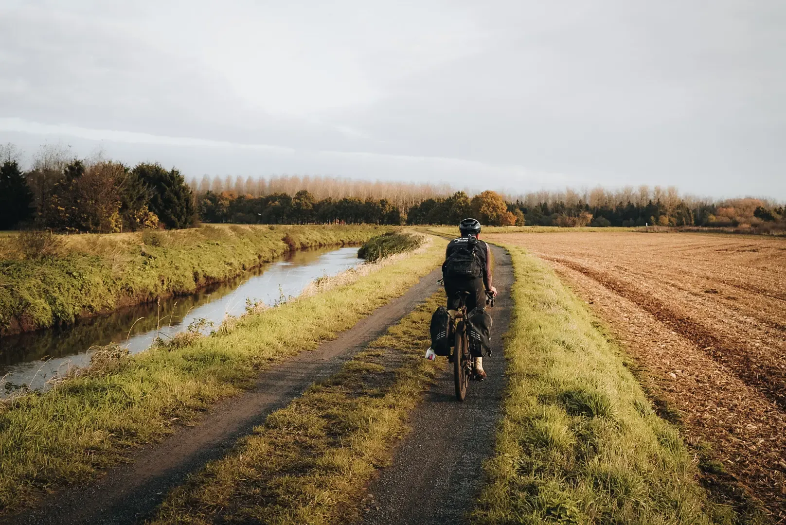
Flanders Divide - Across Flanders
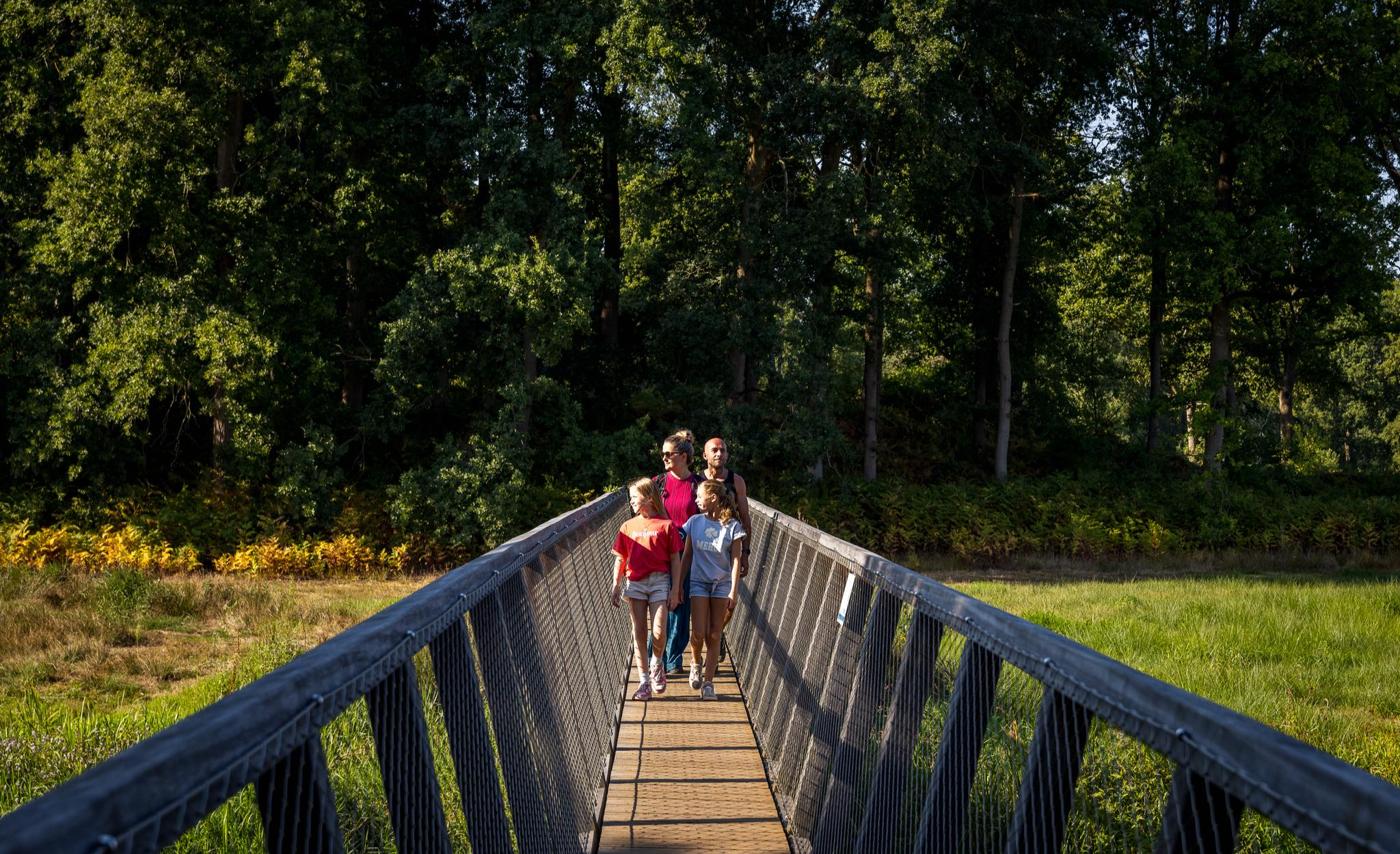
Flanders’ Finest Hiking Routes
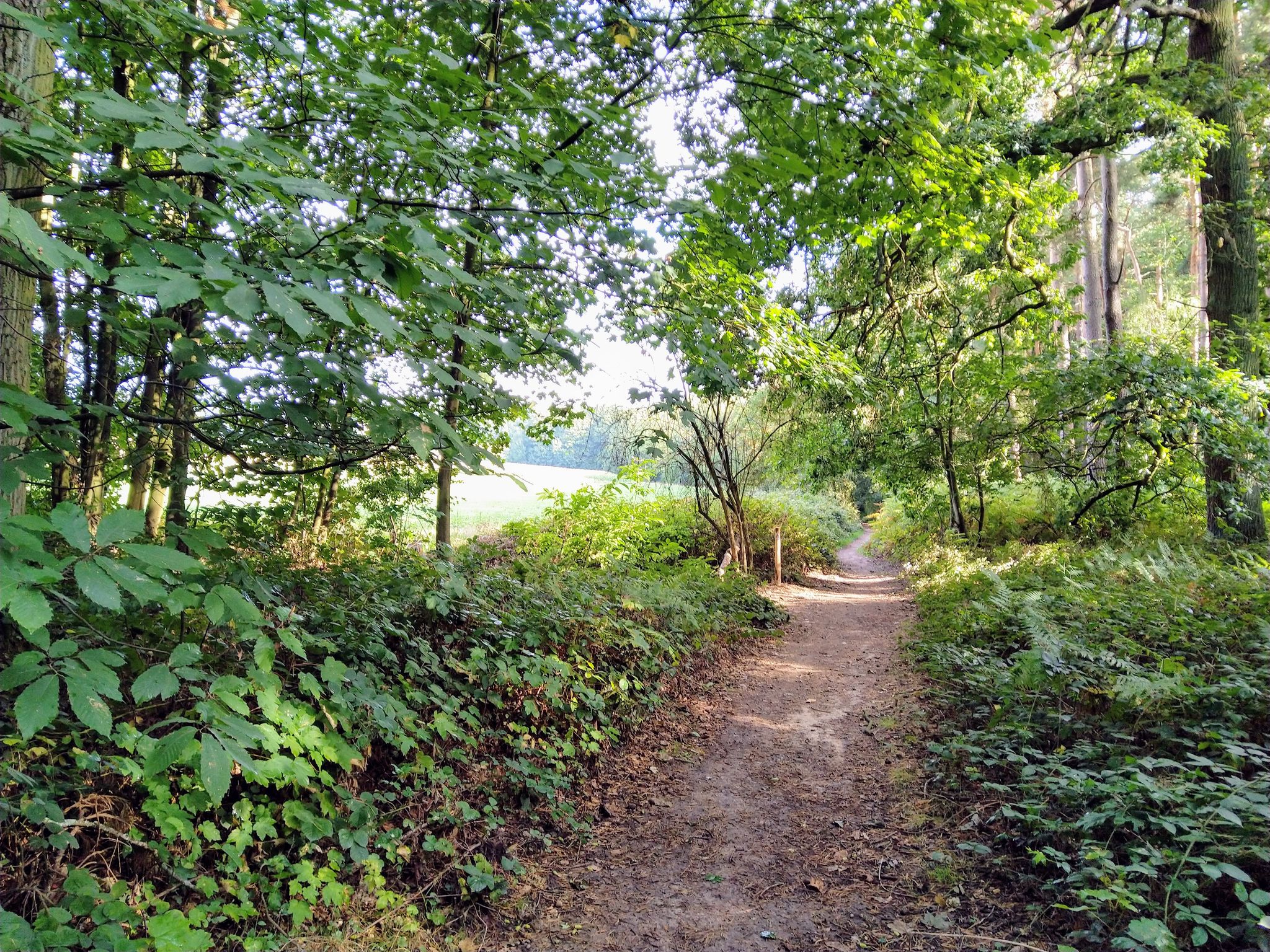
MTB Challenge – the Frans Claes route
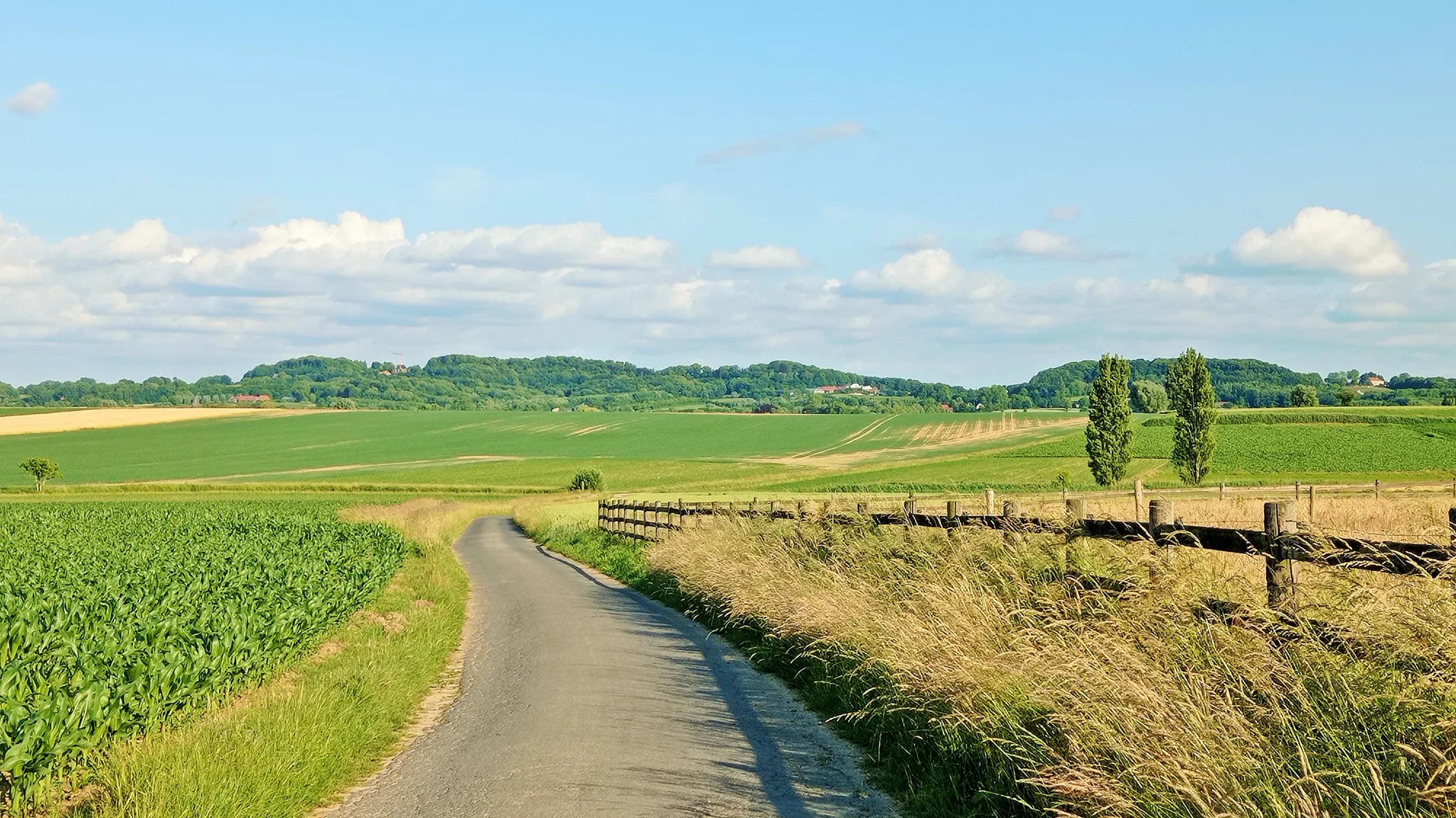
Seven-day Cycling tour through the South-Flemish hills – Hilly Route
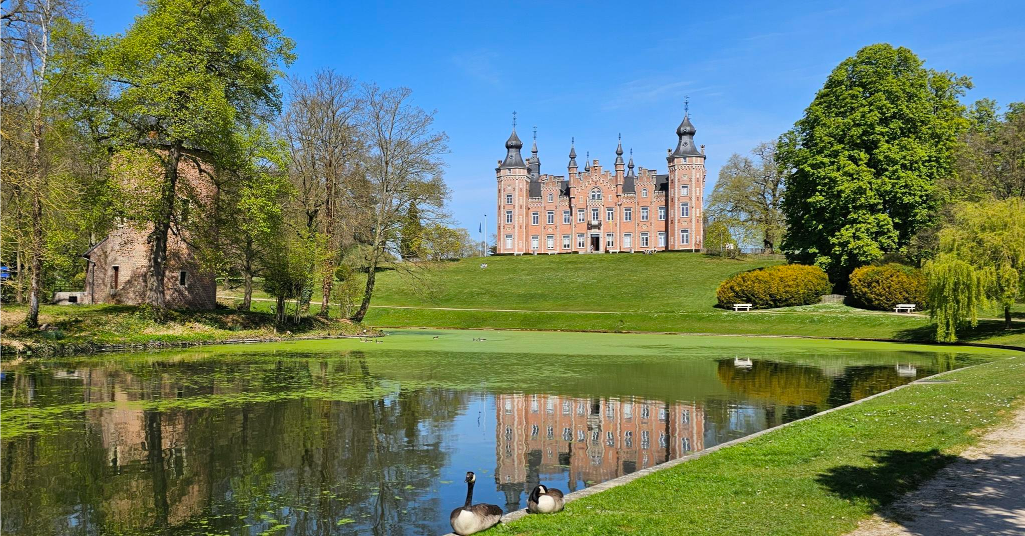
Tour around Brussels – Streek-GR Groene Gordel
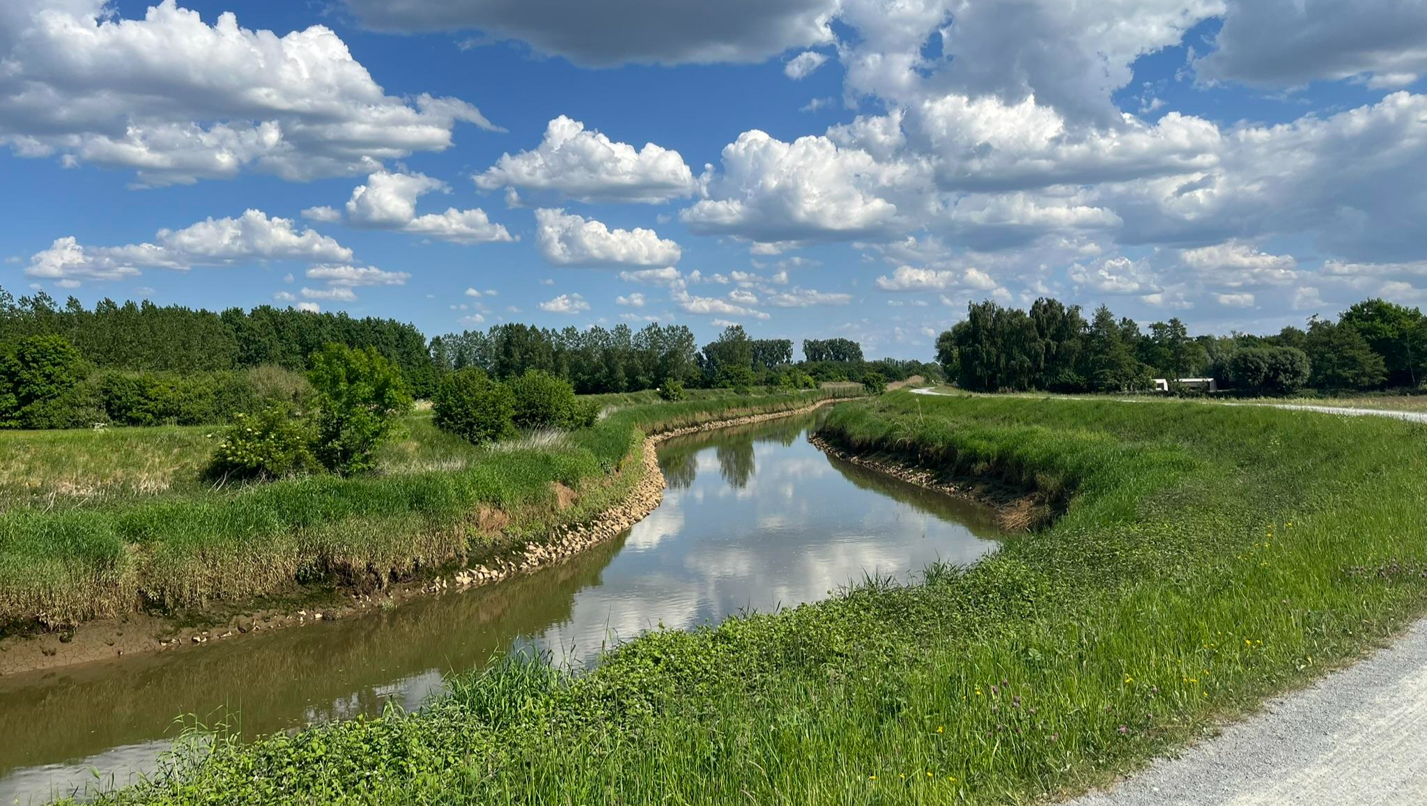
Through the valley of the Dijle – Streek-GR Dijleland
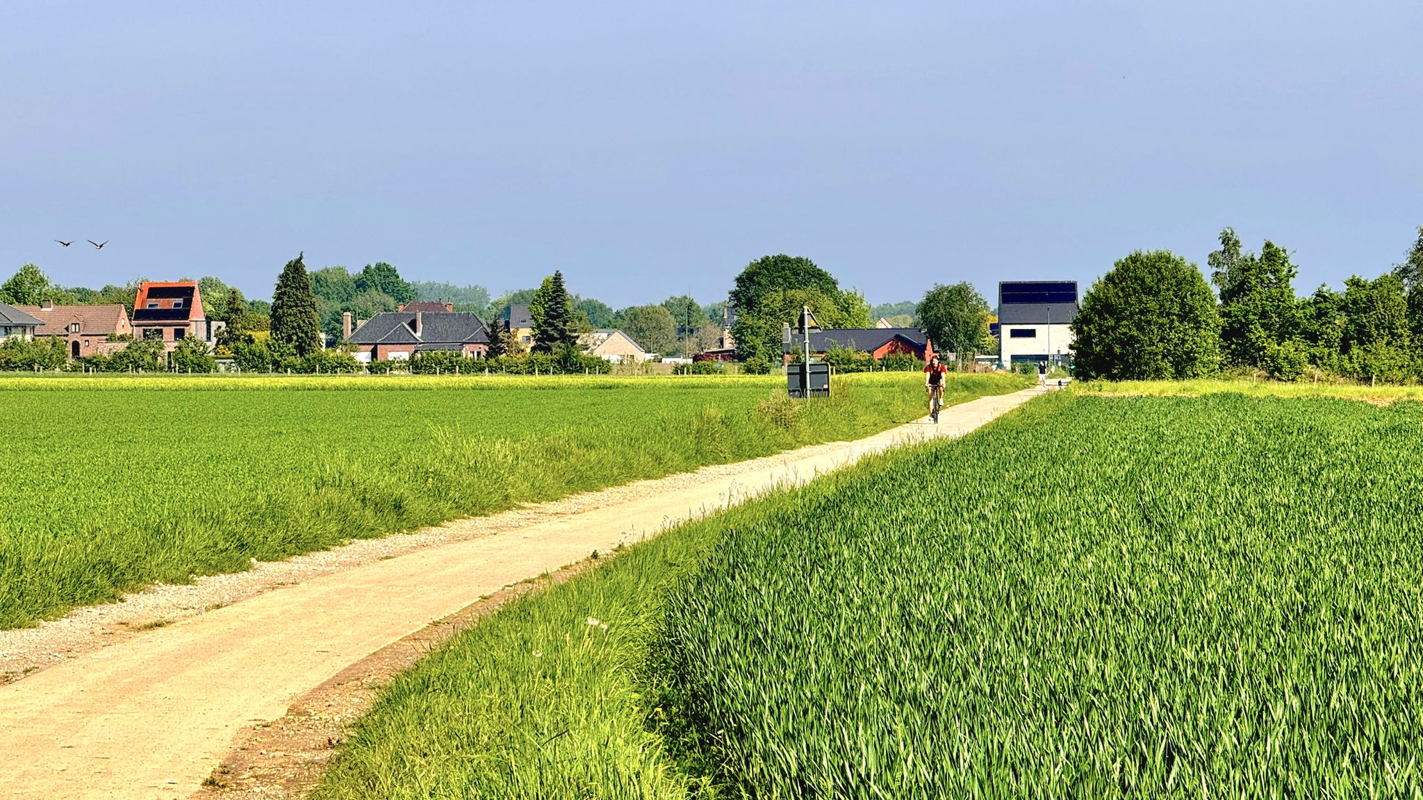
Cycling around Brussels – Green Belt Route
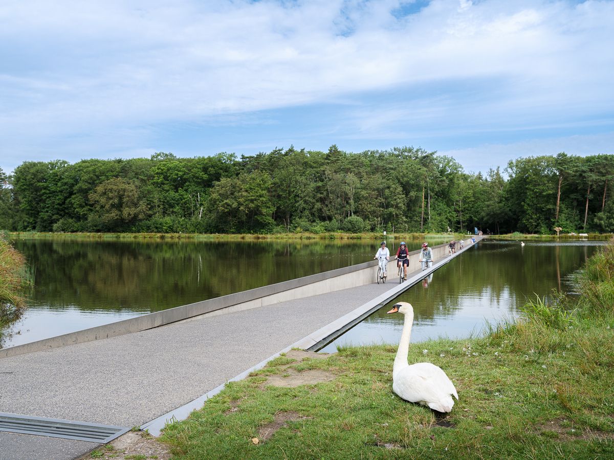
Flanders' Finest Cycle Routes: routes to discover Flemish nature and heritage
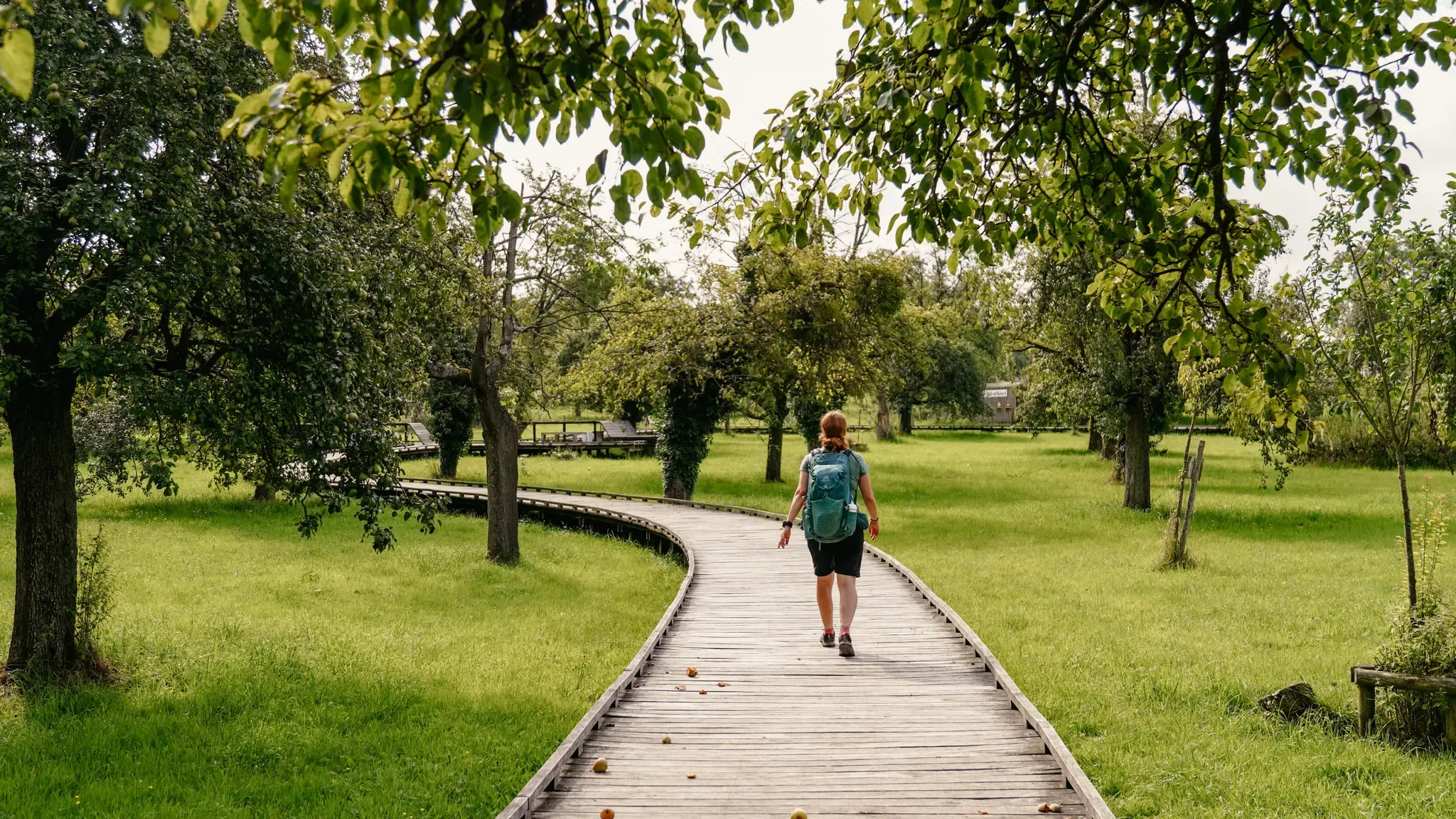
Hiking in Flanders – between dunes, forest and the scenic Meuse
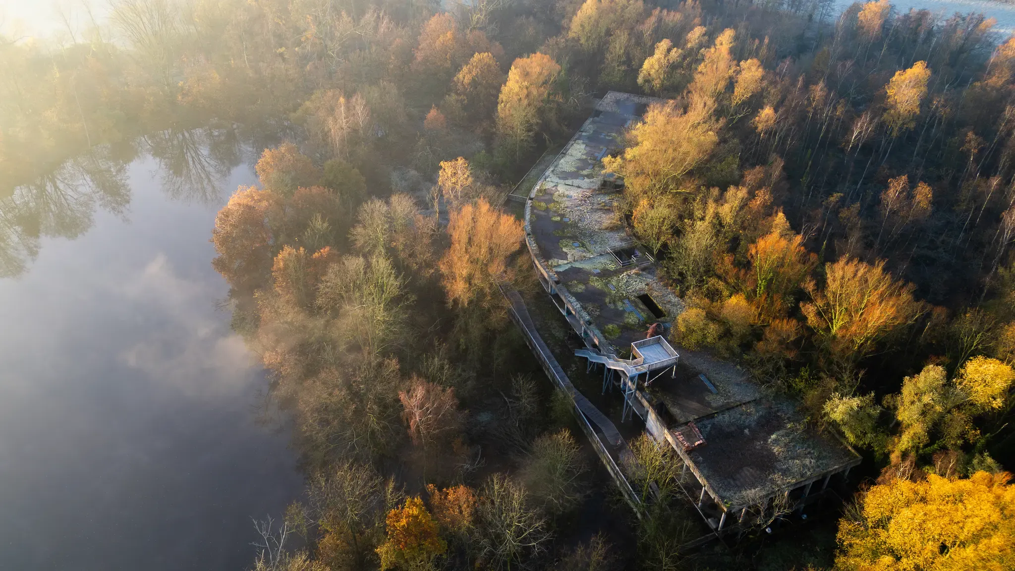
Treinstappers – from station to station in Flanders
Other adventures around Halle-Vilvoorde


Tips from the Community

De Oude Molen is a stone corn windmill, a round stone tower mill type, on the east side of the Molenberg (no. 35), at the highest point of Affligem, namely 74 meters. The body is 15 meters high. The name “Oude molen” is used to distinguish this mill from the De Vis mill on the Boekhoutberg, which was built in 1827. Due to its high, strategic location, it was often used as an observation post during the many wars. For this reason, it was also often damaged by passing armies. (Molenecho's)
11
0

Difficult slope due to the deep grooves and tree roots
0
0

Congoberg is a climb in the Pajottenland region. The climb is 1.2 km long and covers 59 m of elevation gain with an average gradient of 4.9%, resulting in a difficulty rating of 34. The summit is 95 m above sea level.
7
0
The official climb begins on a concrete and rather flat surface. Suddenly, the forest appears, interspersed with cobblestones; that's where the real climb begins.
5
0
Once an icon in the Tour of Flanders, today an icon in the Omloop het Nieuwsblad.
7
0

Beautiful climb on Flemish cobblestones!
2
0

The Kesterheide is a top destination for MTB'ers, with challenging trails through forest and heath. The terrain offers a mix of technical sections, steep climbs and fast descents. The rugged, untouched nature makes it a perfect place for an adventurous ride.
0
0
From the top of this 112 m high Kesterheide, enjoy the green landscape with the apartment buildings of Brussels, the Palace of Justice, the Basilica of Koekelberg and the Atomium in the distance. (Tourism Flemish Brabant)
12
0
Frequently Asked Questions
What kind of elevated natural areas can I explore in Halle-Vilvoorde?
Halle-Vilvoorde features rolling hills, ancient forests, and river valleys rather than traditional mountain peaks. Notable elevated areas include the Hallerbos, famous for its bluebells, the extensive Sonian Forest with ancient beech trees, and the picturesque Pajottenland region known for its undulating terrain. These areas offer diverse opportunities for outdoor activities and scenic views.
Are there any specific 'peaks' or high points worth visiting in the region?
Yes, while not towering mountains, there are distinct elevated points. The Kesterheide – Highest Point of the Pajottenland reaches 112 meters and offers panoramic views stretching to Brussels. Other notable spots include the Congoberg West Climb, with its summit at 95 meters, and the Putberg Gravel Trail, Asse, which features hills up to 80 meters.
What are the best places for cycling enthusiasts looking for climbs?
Cycling enthusiasts will appreciate the region's challenging climbs. The Bosberg climb via Kapellestraat is particularly iconic, known for its historical significance in races like the Tour of Flanders, featuring cobblestones and forest sections. The Congoberg West Climb in Pajottenland also offers a rewarding ascent with scenic views.
Are there family-friendly elevated spots or trails in Halle-Vilvoorde?
Yes, the Kesterheide – Highest Point of the Pajottenland is a family-friendly natural monument offering great views. The gentle topography of the region, especially in areas like the Hallerbos and Sonian Forest, provides many accessible paths suitable for family walks. For specific easy hikes, you can explore routes mentioned in the Easy hikes around Halle-Vilvoorde guide, such as the 'Reebok hike' or 'Hyacinth walk' in Hallerbos.
What is the best time to visit the elevated natural areas in Halle-Vilvoorde?
The best time largely depends on what you want to experience. Mid-April is ideal for witnessing the spectacular bluebell bloom in the Hallerbos. Spring and autumn offer pleasant temperatures and beautiful scenery for hiking and cycling across the region's rolling hills and forests. Autumn is particularly picturesque in the Sonian Forest with its ancient deciduous trees.
Where can I find hiking trails near these elevated points?
The region offers numerous hiking opportunities. For example, the Hallerbos has well-marked trails like the 'Reebok hike' and 'Hyacinth walk'. The Sonian Forest also provides extensive paths for walks and longer treks. You can find more detailed routes in guides such as Easy hikes around Halle-Vilvoorde or Mountain Hikes around Halle-Vilvoorde.
Are there any viewpoints offering panoramic scenery?
Absolutely. The Kesterheide – Highest Point of the Pajottenland provides expansive views of the green landscape, with distant sights of Brussels landmarks. Similarly, the Congoberg West Climb offers a beautiful panorama over the picturesque Pajottenland region.
What kind of wildlife can I expect to see in the natural areas?
The natural areas around Halle-Vilvoorde, such as the Hallerbos and Sonian Forest, are home to diverse wildlife. You might spot various bird species, deer, and other small mammals. These forests are part of important ecological networks, providing habitats for a rich biodiversity.
Are there any nature reserves or protected areas among the elevated points?
Yes, the Kesterheide is a nature reserve within the Flemish Brabant Pajottenland and is protected as part of the Natura 2000 area 'Hallerbos and nearby forest complexes with source areas and heathland'. The Hallerbos itself is also a key part of the Flemish Ecological Network and a Natura 2000 area.
What makes the Pajottenland region unique for outdoor activities?
The Pajottenland region is characterized by its distinctive rolling hills, open fields, and charming villages. This undulating terrain provides varied and engaging routes, making it a popular destination for both cycling and hiking. It offers a different kind of elevated experience compared to traditional mountains, focusing on scenic rural landscapes.
Can I find cafes or restaurants near the hiking trails and elevated areas?
Yes, many popular natural areas and trails in Halle-Vilvoorde have amenities nearby. For instance, the Bosberg, a well-known cycling climb, has a café at its summit. You'll also find various cafes, pubs, and restaurants in the charming villages and towns surrounding areas like the Hallerbos, Sonian Forest, and Pajottenland, perfect for a break after your outdoor activities.
Are there any specific trails for gravel cycling in the region?
Yes, the Putberg Gravel Trail, Asse is a notable spot for gravel cycling. It features narrow singletrack sections between fields and includes hills ranging from 35m to 80m, offering an engaging ride for those who enjoy off-road cycling.
Most popular routes around Halle-Vilvoorde
Most popular attractions around Halle-Vilvoorde

Get inspired with the komoot mobile app


Didn’t find what you were looking for?
Discover Halle-Vilvoorde’s best peaks and summits by region:
Explore more
See even more amazing summits around Halle-Vilvoorde with these guides:
