The best walks and hikes around Bànari/Banari
4.0
(7)
35
hikers
8
hikes
Hiking around Bànari/Banari offers trails through varied terrain, including areas with extinct volcanoes and hills. The region features a mix of natural landscapes and historical sites, providing diverse walking experiences. Hikers can expect paths that traverse gentle slopes and more challenging ascents, often leading to scenic viewpoints.
Best hiking trails around Bànari/Banari
- The most popular hiking route is The extinct volcanoes of the Meilogu, a 3.5 miles (5.6 km) trail that takes 1 hour 35 minutes to complete. This…
Last updated: June 27, 2026
1.0
(1)
6
hikers
5.65km
01:36
120m
120m
Easy hike. Great for any fitness level. Easily-accessible paths. Suitable for all skill levels.
4.0
(1)
14
hikers
4.80km
01:55
380m
380m
Moderate hike. Good fitness required. Easily-accessible paths. Suitable for all skill levels.

Sign up for free
5.0
(2)
8
hikers
12.3km
03:42
400m
390m
Moderate hike. Good fitness required. Easily-accessible paths. Suitable for all skill levels.
5.0
(1)
2
hikers
5.62km
01:38
130m
130m
Easy hike. Great for any fitness level. Easily-accessible paths. Suitable for all skill levels.
4.0
(1)
2
hikers
5.76km
01:38
120m
110m
Easy hike. Great for any fitness level. Easily-accessible paths. Suitable for all skill levels.
Get access to more routes and recommendations from other explorers.
Sign up for free
Already have an account?
Our route recommendations are based on thousands of hikes, rides, and runs completed by other people on komoot.
Start today with a free account
Your next adventure awaits.
Login or Signup
Popular around Bànari/Banari
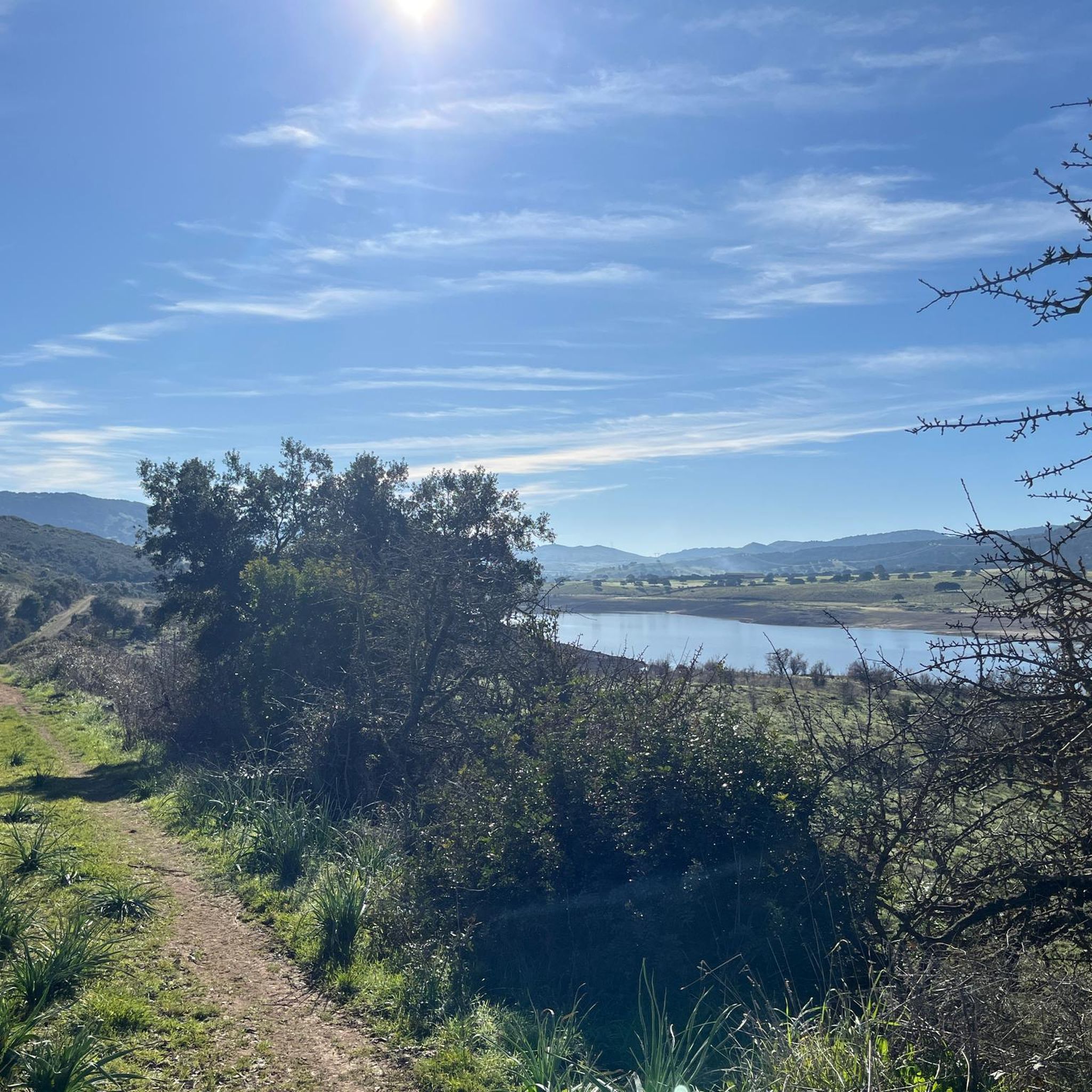
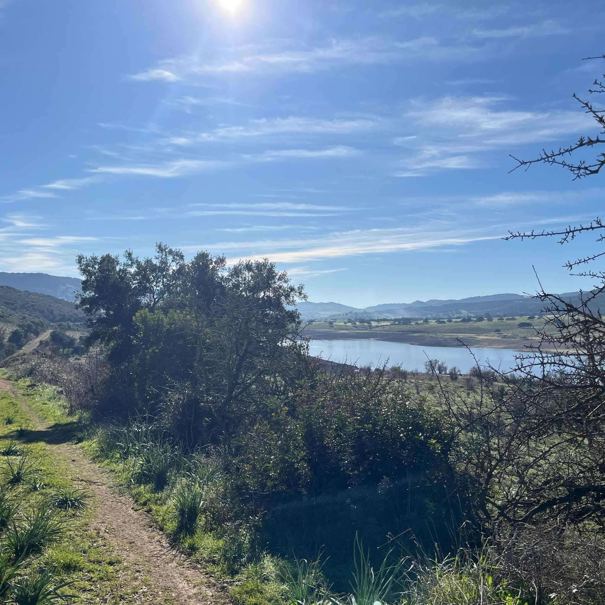
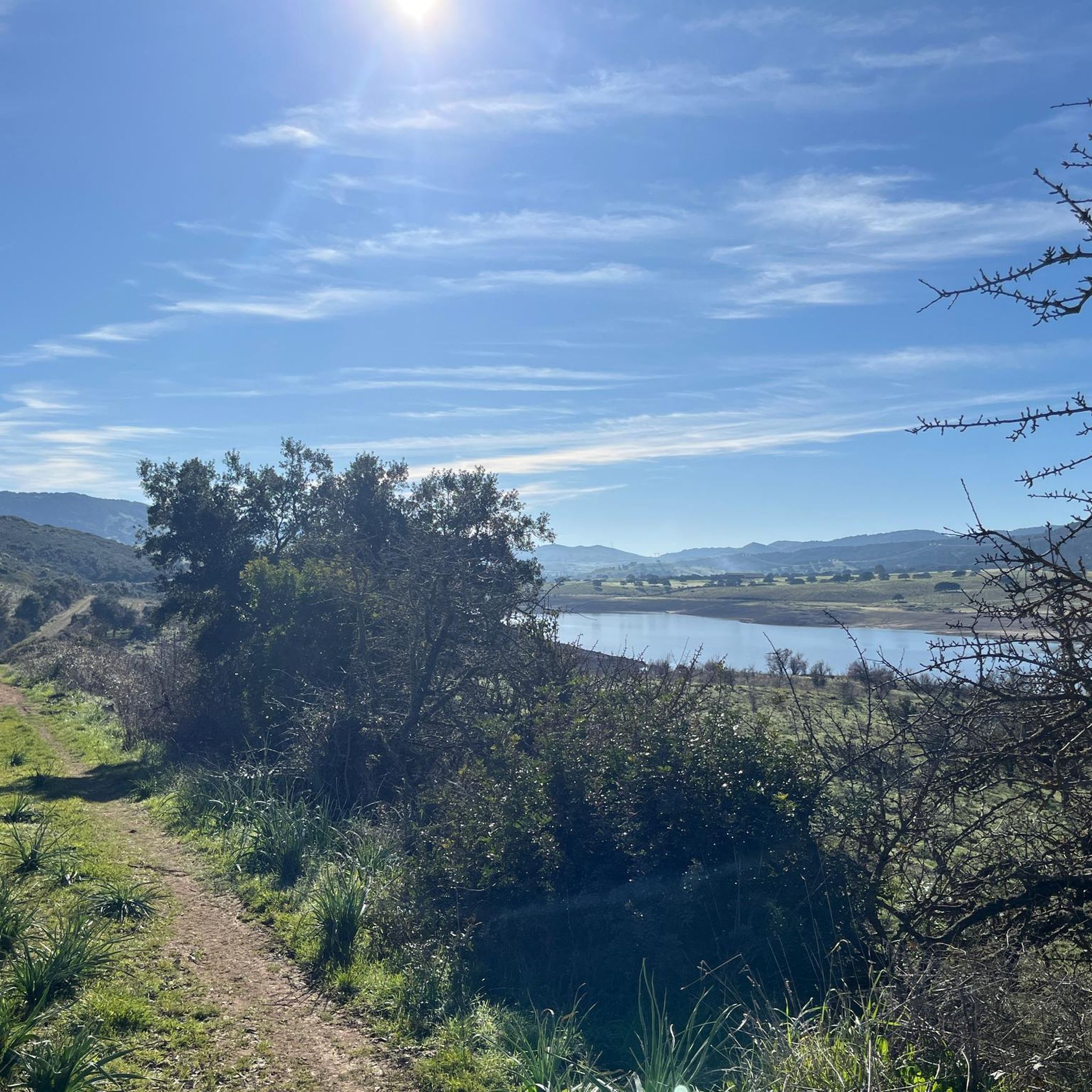
Tips from the Community

An adventurous approach, barking dogs, thorny undergrowth. The dolmens were great, but unfortunately the hiking trail was not well maintained, so we turned back with our son.
0
0

The caves are accessible from the road across a meadow. However, there are no paths, despite other claims to the contrary. We didn't find one, and the thistles and thorns make hiking less enjoyable. The area and the view are, of course, wonderful.
0
0

The church of Saints Elias and Enoch, located on the mesa of Monte Santo, dates back to the Byzantine era (6th-9th century AD) and reflects the traditions of Greek monasticism. Originally, it was a place of worship for hermit monks who lived in cells dug into the mountain. In 1065, the church became the first Benedictine monastery on the island.
1
0
Monte Santo (Monte Santu or Monte Sant'Elies in Sardinian) is an isolated mountain and mesa in Logudoro, with an altitude of 733 meters. During the climb, lithological changes are observed, passing from carbonate rocks to basaltic ones around 650 meters. On the summit, located on the south-western lip, you can enjoy a vast panorama, especially at the summit cross.
1
0
With its unmistakable profile, Monte Santo is an icon of Meilogu, the name of this enchanted corner of Sardinia. Born from ancient volcanic eruptions, this mountain rises among vast green fields, offering breathtaking views.
1
0
The path passes through the Domus de Janas of S'Ena de Cannuja, ancient pre-Nuragic tombs carved into the rock, dating back to the 3rd millennium BC. This necropolis includes six tombs dug into a trachytic ridge. The tombs were presumably reached using carvings dug into the rock face similar to those still preserved in the Domus de Janas Sos Furrighesos necropolis in Anela.
1
0
At the top of Mount Torru there is a vast amphitheater which houses the majestic Torru nuraghe, dominating the entire peak. The nuraghe, a typical megalithic building of ancient Sardinia, was developed during the Nuragic age between 1900 and 730 BC. This structure, built with blocks of soft trachyte, rests directly on the rock which acts as a natural bastion. The view from here is wide and breathtaking.
1
0
The views from the top of Sea Lepere are spectacular. From here, the view opens onto the characteristic relief of Monte Torru. The steep rock faces stand out beautifully against the bright green vegetation.
1
0
Frequently Asked Questions
How many hiking trails are available in Bànari/Banari?
There are 6 hiking trails around Bànari/Banari listed in this guide, ranging from easy to moderate difficulty. This includes 4 easy routes and 2 moderate routes, offering a variety of options for different fitness levels.
What kind of landscapes can I expect to see while hiking in Bànari/Banari?
Bànari/Banari, nestled at the foothills of the Western Ghats, offers lush landscapes, scenic mountainous terrain, and thick woodlands. You can expect to traverse through dense forests, encounter awe-inspiring hills, and potentially enjoy panoramic views from various viewpoints like Dhimbam View Point or Gangulpara View Point. The region is part of the biodiverse Sathyamangalam Wildlife Sanctuary.
Are there any easy hiking trails suitable for beginners or families in Bànari/Banari?
Yes, Bànari/Banari offers several easy trails perfect for beginners or families. For instance, the The extinct volcanoes of the Meilogu route is an easy option, covering about 5.6 km. Another accessible choice is the Cantoniera Planu loop from Cantoniera Pianu, which is around 3.8 km long and also rated as easy.
Are there any circular hiking routes in Bànari/Banari?
Yes, several routes in Bànari/Banari are designed as loops, allowing you to start and end at the same point. Examples include the Necropoli di Moseddu loop from Cherèmule/Cheremule and the Cantoniera Planu loop from Cantoniera Pianu. These are great for a straightforward day out without needing to arrange transport back to your starting point.
What kind of wildlife might I encounter on the trails in Bànari/Banari?
As Bànari/Banari is closely associated with the Sathyamangalam Wildlife Sanctuary and Tiger Reserve, you might encounter diverse wildlife. The sanctuary is known for elephants, leopards, sloth bears, wild dogs, and various bird species. Treks within the reserve often require guides and permits to ensure safety and minimize disturbance to the animals.
Are there any waterfalls or scenic viewpoints accessible via hiking trails?
The region around Bànari/Banari is home to several picturesque waterfalls and stunning viewpoints. While specific trails to all of them aren't detailed in this guide, the area boasts waterfalls like Gangulpara, Satnari, Kodiveri Dam & Waterfalls, and Monkey Falls. For breathtaking vistas, consider visiting Dhimbam View Point or Gangulpara View Point, often accessible via trails or scenic drives through the hills.
What are some interesting historical or natural attractions to see near Bànari/Banari?
The Bànari/Banari area is rich in historical and natural sites. You can explore ancient structures like the Nuraghe Santu Antine di Torralba or the Nuraghe Torru. For natural wonders, visit the Domus de Janas di S’Ena de Cannuja or the Rock Formations and Caves of the Sardinian Highlands. These highlights offer a glimpse into the region's unique heritage and geology.
What is the best time of year to go hiking in Bànari/Banari?
Given its location in the Western Ghats, the best time for hiking in Bànari/Banari is generally during the cooler, drier months. This typically falls between October and March, when the weather is more pleasant and the lush greenery is at its peak after the monsoon season. Avoid the peak monsoon months (June to September) due to heavy rainfall and potential trail closures.
What do other hikers enjoy most about hiking in Bànari/Banari?
The Bànari/Banari area is highly rated by the komoot community, with an average score of 4.75 stars. Reviewers often praise the region's natural beauty, the tranquility of its woodlands, and the immersive experience of exploring the diverse Western Ghats ecosystem.
Are there any longer or more challenging hikes in Bànari/Banari?
While this guide features mostly easy to moderate routes, there are options for longer walks. The Hiking loop from Boruta/Borutta is a moderate route spanning over 9 km, offering a more extended experience. For those seeking a moderate challenge, Discovering Monte Santo is another good option, covering nearly 4.8 km with significant elevation gain.
Is it possible to hike through the Sathyamangalam Wildlife Sanctuary?
Yes, it is possible to explore parts of the Sathyamangalam Wildlife Sanctuary through guided forest adventures. These treks are designed for nature enthusiasts with moderate fitness levels and often require permits and local guides to ensure safety and adherence to conservation regulations. It's an excellent way to experience the dense forests and rich biodiversity of the reserve.
Are there any specific safety considerations for hiking in Bànari/Banari?
When hiking in Bànari/Banari, especially within the Sathyamangalam Wildlife Sanctuary, it's advisable to be aware of wildlife. Always stick to marked trails, consider hiring a local guide for longer or more remote treks, and carry sufficient water and supplies. Check local weather conditions before heading out, particularly during monsoon season, and inform someone of your planned route.
Most popular attractions around Bànari/Banari

Get inspired with the komoot mobile app


Explore more
Browse the best Hikes in other regions.
