The best walks and hikes around Boruta/Borutta
4.6
(6)
27
hikers
5
hikes
Hiking around Boruta/Borutta, located in Sardinia's historic Meilogu region, offers varied terrain for outdoor activities. The area is characterized by valleys, including the slopes of Mount Pelao, and limestone formations such as those found on the plateau of Punta 'e Mura. Elevations range between 400 and 700 meters above sea level, providing diverse landscapes for different fitness levels.
Best hiking trails around Boruta/Borutta
- The most popular hiking route is Discovering Monte Santo, a 3.0 miles (4.8 km) trail that…
Last updated: June 27, 2026
4.0
(1)
14
hikers
4.80km
01:55
380m
380m
Moderate hike. Good fitness required. Easily-accessible paths. Suitable for all skill levels.
5.0
(2)
8
hikers
12.3km
03:42
400m
390m
Moderate hike. Good fitness required. Easily-accessible paths. Suitable for all skill levels.

Sign up for free
5.0
(1)
2
hikers
5.62km
01:38
130m
130m
Easy hike. Great for any fitness level. Easily-accessible paths. Suitable for all skill levels.
4.0
(1)
2
hikers
5.76km
01:38
120m
110m
Easy hike. Great for any fitness level. Easily-accessible paths. Suitable for all skill levels.
5.0
(1)
5
hikers
3.83km
01:03
60m
60m
Easy hike. Great for any fitness level. Easily-accessible paths. Suitable for all skill levels.
Our route recommendations are based on thousands of hikes, rides, and runs completed by other people on komoot.
Start today with a free account
Your next adventure awaits.
Login or Signup
Popular around Boruta/Borutta
Tips from the Community

An adventurous approach, barking dogs, thorny undergrowth. The dolmens were great, but unfortunately the hiking trail was not well maintained, so we turned back with our son.
0
0

The caves are accessible from the road across a meadow. However, there are no paths, despite other claims to the contrary. We didn't find one, and the thistles and thorns make hiking less enjoyable. The area and the view are, of course, wonderful.
0
0

The church of Saints Elias and Enoch, located on the mesa of Monte Santo, dates back to the Byzantine era (6th-9th century AD) and reflects the traditions of Greek monasticism. Originally, it was a place of worship for hermit monks who lived in cells dug into the mountain. In 1065, the church became the first Benedictine monastery on the island.
1
0
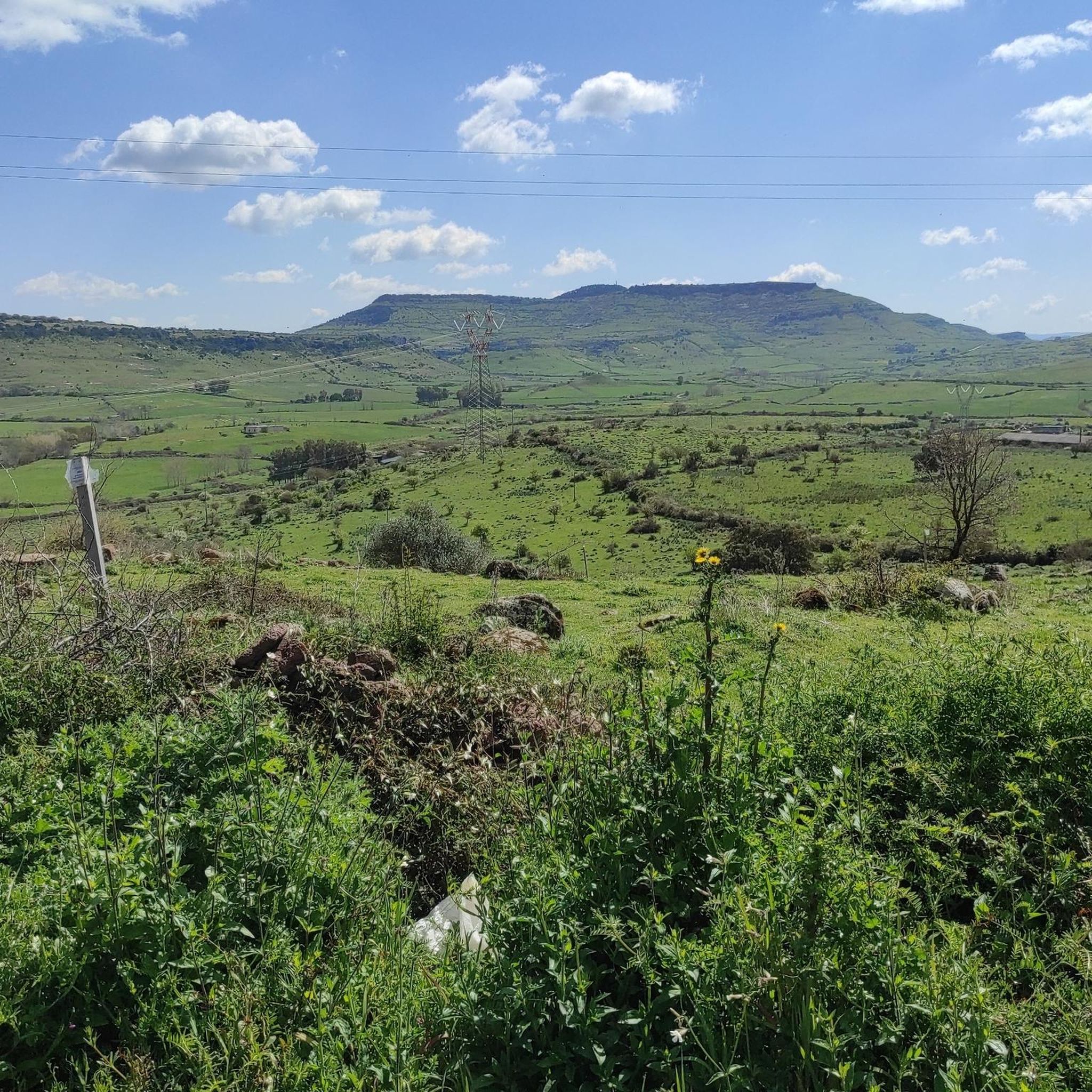
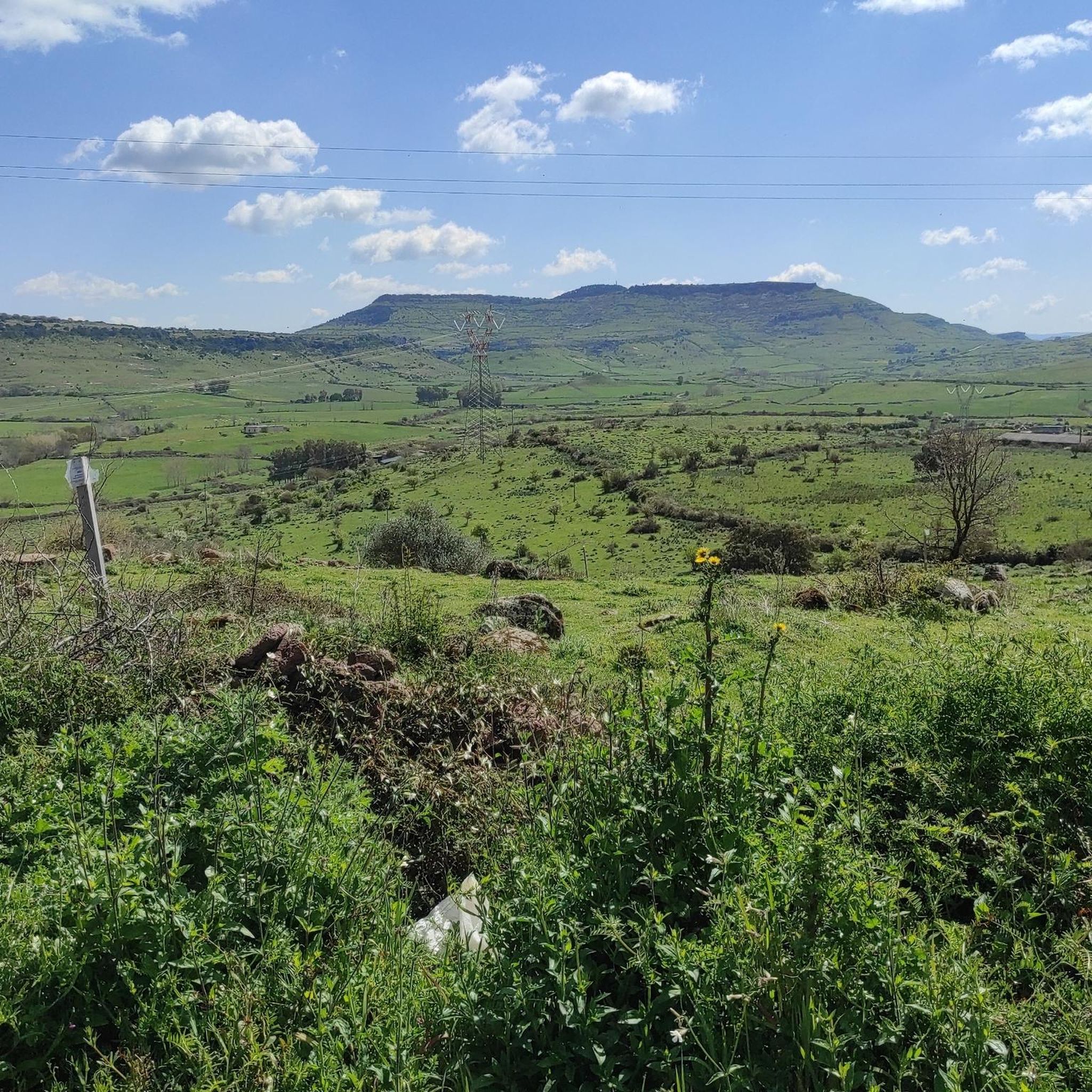
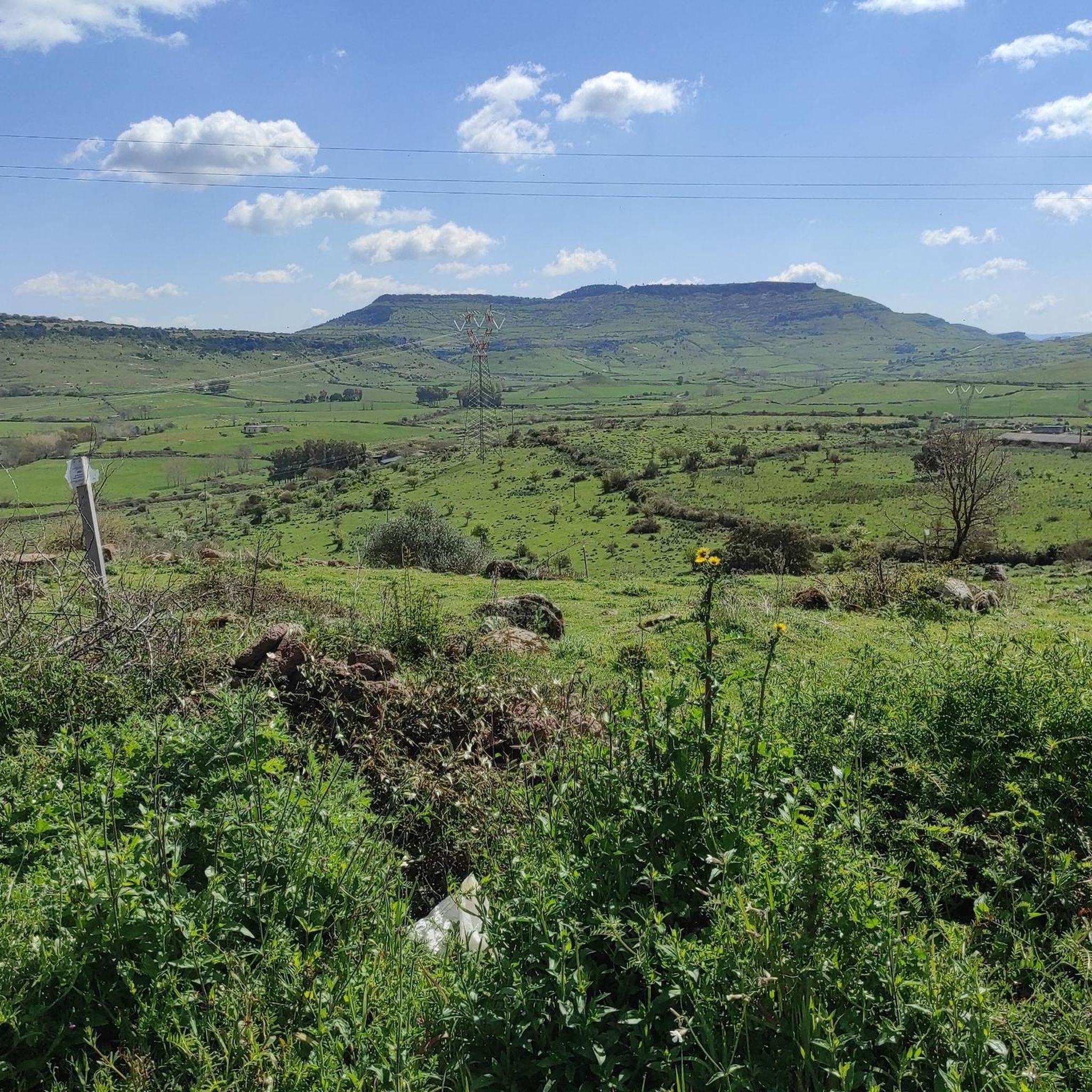
Monte Santo (Monte Santu or Monte Sant'Elies in Sardinian) is an isolated mountain and mesa in Logudoro, with an altitude of 733 meters. During the climb, lithological changes are observed, passing from carbonate rocks to basaltic ones around 650 meters. On the summit, located on the south-western lip, you can enjoy a vast panorama, especially at the summit cross.
1
0
With its unmistakable profile, Monte Santo is an icon of Meilogu, the name of this enchanted corner of Sardinia. Born from ancient volcanic eruptions, this mountain rises among vast green fields, offering breathtaking views.
1
0
The path passes through the Domus de Janas of S'Ena de Cannuja, ancient pre-Nuragic tombs carved into the rock, dating back to the 3rd millennium BC. This necropolis includes six tombs dug into a trachytic ridge. The tombs were presumably reached using carvings dug into the rock face similar to those still preserved in the Domus de Janas Sos Furrighesos necropolis in Anela.
1
0
Frequently Asked Questions
How many hiking trails are available around Borutta?
There are 5 hiking routes around Borutta listed in this guide, ranging from easy strolls to more moderate treks. This includes 3 easy routes and 2 moderate routes, offering a good variety for different skill levels.
What kind of terrain can I expect on hikes around Borutta?
The terrain around Borutta is quite varied, reflecting its location in the historic Meilogu region of Sardinia. You'll find paths winding through valleys, along the slopes of Mount Pelao, and near the Frida River. The area is also characterized by interesting limestone formations, locally known as 'furraghes', and ancient archaeological sites. Routes can range from gentle paths to more rugged sections with elevation changes.
Are there easy hiking trails suitable for beginners or families?
Yes, Borutta offers several easy hiking options perfect for beginners or families. For example, the Cantoniera Planu loop from Cantoniera Pianu is a gentle 3.8 km route, and the Su Furraghe loop from Boruta/Borutta is another easy 5.7 km option that allows you to experience the local landscape.
Are there more challenging hikes for experienced trekkers?
While there are no 'difficult' graded routes in this selection, more experienced hikers can enjoy moderate trails that offer greater elevation gain and longer distances. The Discovering Monte Santo route, for instance, covers nearly 4.8 km with an ascent of almost 380 meters, providing a good workout and rewarding views.
Are there any circular hiking routes in Borutta?
Yes, many of the trails around Borutta are designed as loops, allowing you to start and end at the same point. Popular circular routes include the Su Furraghe loop from Boruta/Borutta, the Necropoli di Moseddu loop from Cherèmule/Cheremule, and the Cantoniera Planu loop from Cantoniera Pianu.
What historical or natural landmarks can I see while hiking?
Borutta's trails are rich in history and natural beauty. You can explore ancient sites like the Domus de Janas di S’Ena de Cannuja, a pre-Nuragic necropolis, or the monumental Nuraghe Santu Antine di Torralba. The area also features significant natural formations such as the Ulari Cave, known for its bat colony, and offers scenic viewpoints like the View of Monte Santo.
Are there any caves to explore near the hiking trails?
Yes, the Borutta area is known for its geological features, including caves. The Domus de Janas di S’Ena de Cannuja is an ancient cave necropolis, offering a glimpse into prehistoric times. Additionally, the Ulari Cave is a notable natural feature, historically inhabited and home to a significant bat colony. You can also find the Sa Ucca de su Tintirriolu Cave nearby.
Can I hike with my dog in Borutta?
Generally, dogs are welcome on many trails in the Borutta region, especially on public footpaths. However, it's always advisable to keep your dog on a leash, especially in areas with livestock or near archaeological sites, and to check for any specific local regulations or signage at trailheads. Please ensure you clean up after your pet to maintain the natural environment.
What do other hikers enjoy the most about hiking in Borutta?
The hiking experiences around Borutta are highly rated by the komoot community, with an average score of 4.6 stars. Hikers often praise the unique blend of natural beauty and rich historical sites, from ancient Nuragic structures to Romanesque churches like the Cathedral of Saint Peter of Sorres. The varied terrain and peaceful atmosphere are also frequently highlighted.
Is public transport available to reach the trailheads in Borutta?
While Borutta is a smaller village, public transport options might be limited directly to all trailheads. It's recommended to check local bus schedules if you plan to rely on public transport. Many hikers find it more convenient to arrive by car, as this offers greater flexibility to access various starting points for the trails.
Where can I find parking for the hiking trails?
Parking availability varies by trailhead. For routes starting directly from Borutta, such as the Su Furraghe loop or the Hiking loop from Boruta/Borutta, you can often find parking within the village or at designated spots near the route's start. For trails originating from nearby localities like Cheremule or Cantoniera Pianu, look for parking in those respective areas.
Most popular routes around Boruta/Borutta
Most popular attractions around Boruta/Borutta

Get inspired with the komoot mobile app


Explore more
Browse the best Hikes in other regions.
