The best gravel rides around Crevoladossola
4.3
(18)
102
riders
5
rides
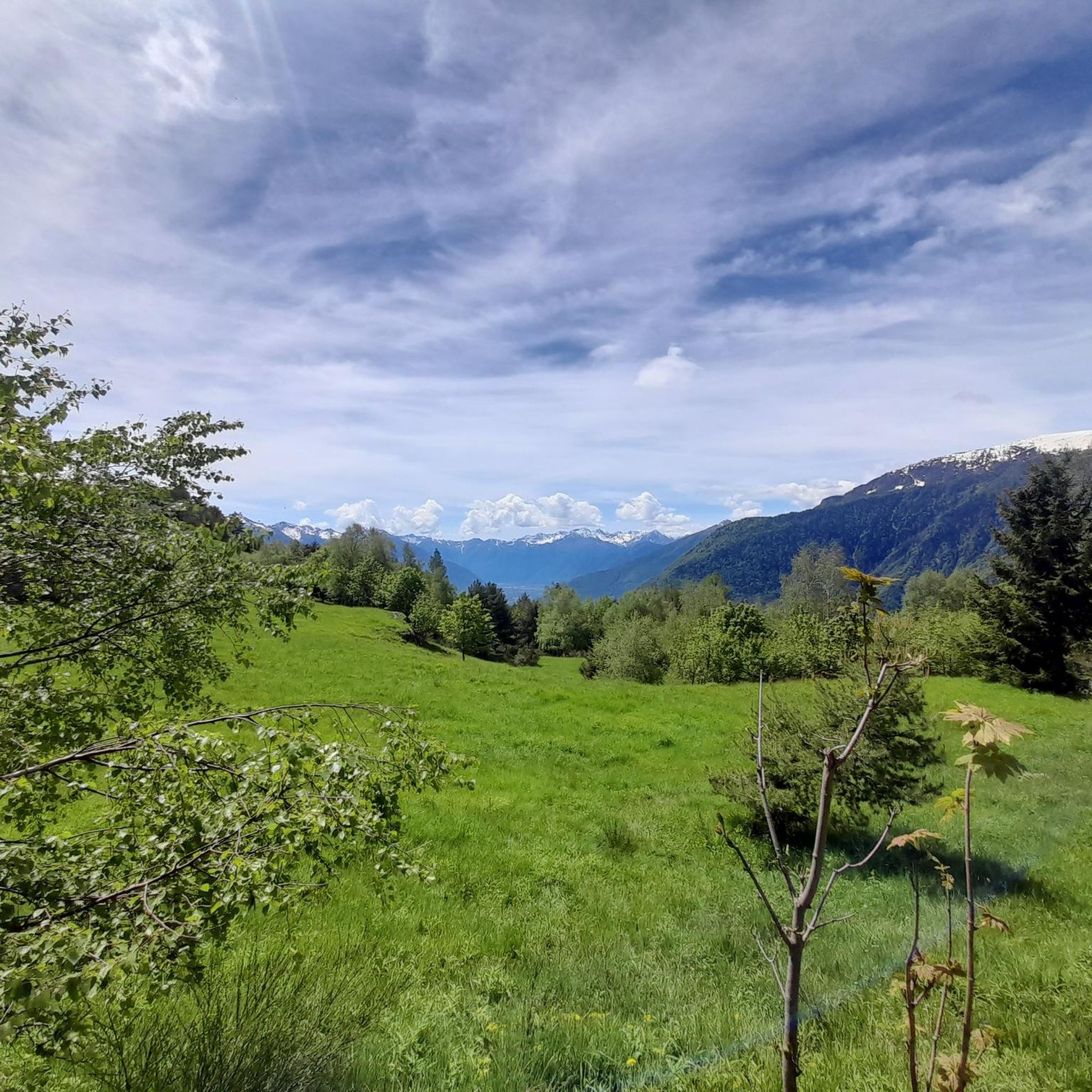
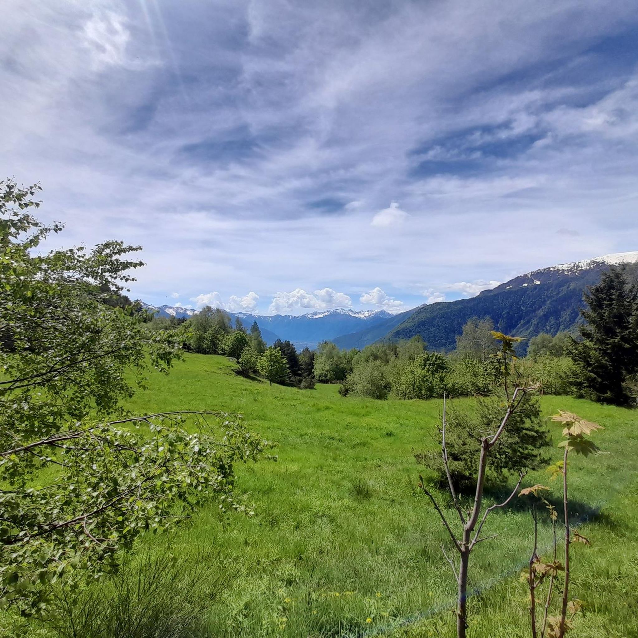
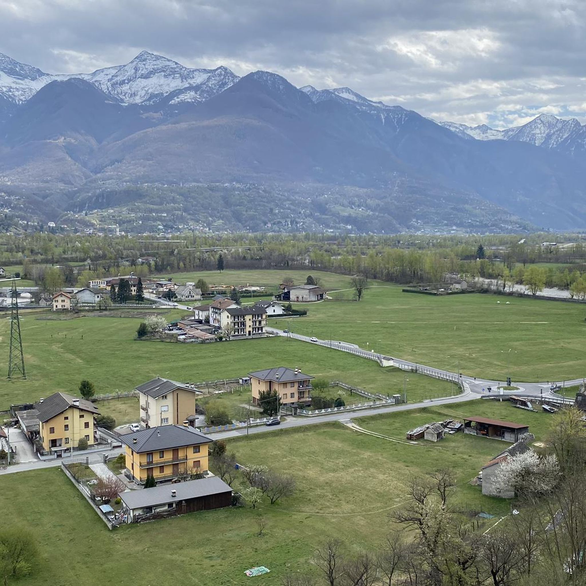
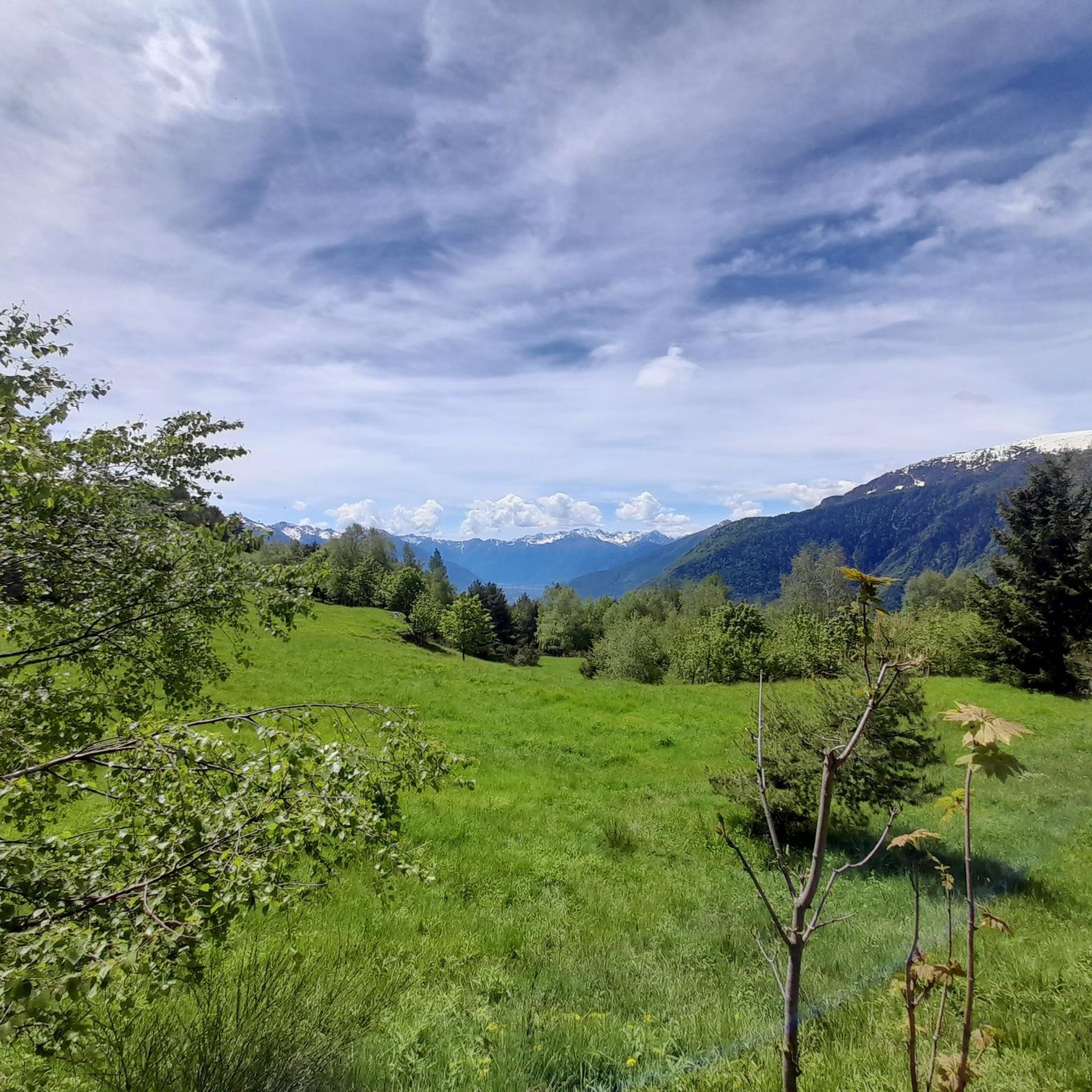
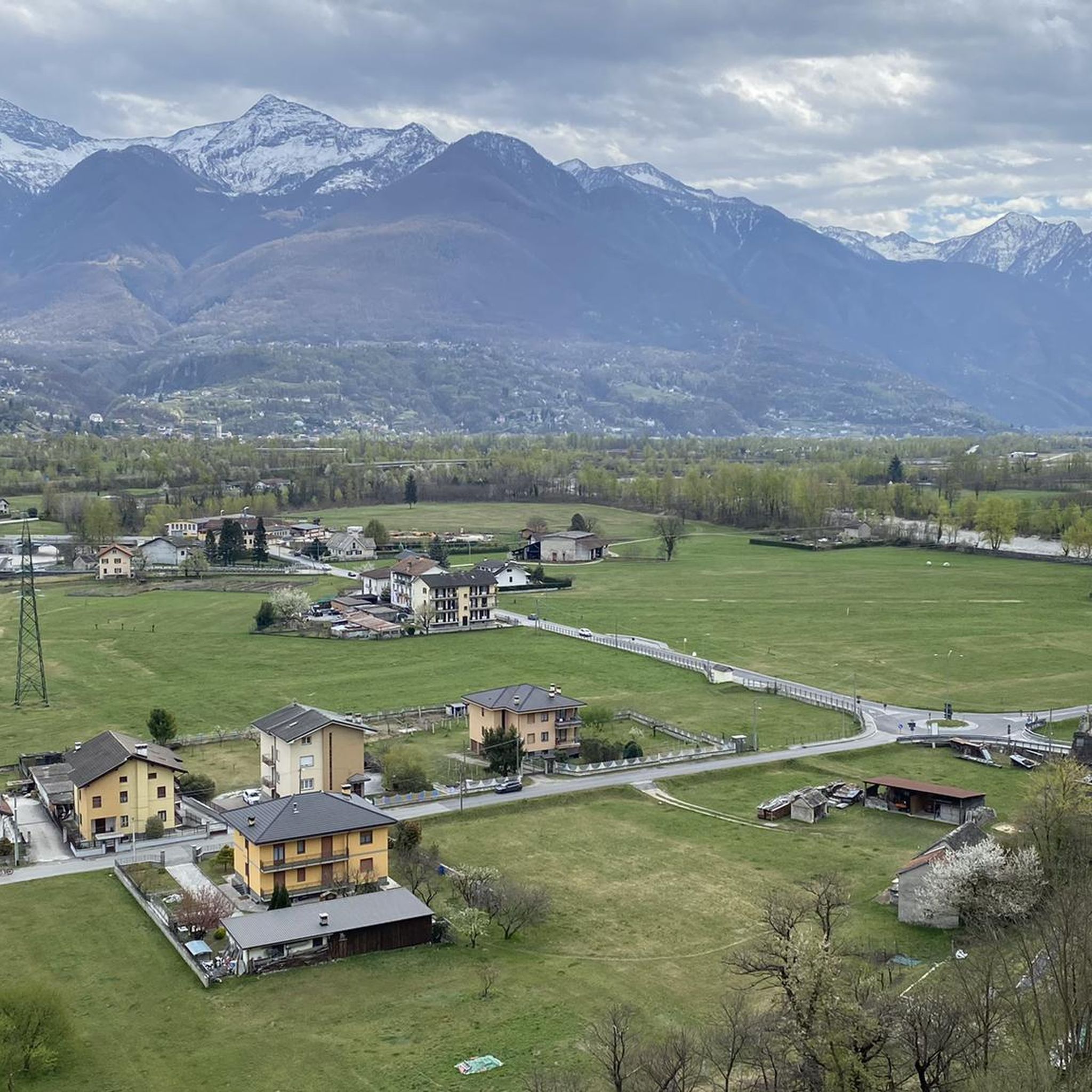
Gravel biking around Crevoladossola offers diverse terrain within Italy's Ossola Valley, characterized by the Toce River and its gorges. The region features terraced vineyards, historical mule tracks, and ancient Roman roads, providing varied surfaces for gravel cyclists. Higher elevations include alpine pastures like Alpe Colmine, offering panoramic views. This area serves as a gateway to the Antigorio and Divedro Valleys, with routes exploring riverine landscapes and historical hamlets.
Best gravel bike trails around Crevoladossola
- The most popular gravel bike trail…
Last updated: September 3, 2026
4.5
(8)
54
riders
59.6km
03:58
230m
230m
Moderate gravel ride. Good fitness required. Mostly paved surfaces. Suitable for all skill levels.
4.0
(5)
18
riders
39.2km
02:16
190m
190m
Moderate gravel ride. Good fitness required. Mostly paved surfaces. Suitable for all skill levels.

Sign up for free
3.8
(4)
15
riders
31.5km
01:42
110m
110m
Easy gravel ride. Great for any fitness level. Mostly paved surfaces. Suitable for all skill levels.
8
riders
39.4km
03:17
1,320m
1,320m
Hard gravel ride. Very good fitness required. Mostly paved surfaces. Suitable for all skill levels.
5.0
(1)
7
riders
32.7km
02:28
830m
830m
Hard gravel ride. Very good fitness required. Mostly paved surfaces. Suitable for all skill levels.
Our route recommendations are based on thousands of hikes, rides, and runs completed by other people on komoot.
Start today with a free account
Your next adventure awaits.
Login or Signup

Tips from the Community

Worth the visit, the hike, and the trip. A unique monument, definitely worth a visit with plenty of time.
0
0


Fraction of Baceno (VB) at an altitude of 820m above sea level
0
0

Stunning views. Be careful in the first very dark tunnel. The path from Crampiolo to the dam of the lake is entirely rideable, but I don't recommend the path from the dam to the dirt road to Alpe Forno, there are a lot of steps, you have to push your bike. Better to go back to Crampiolo and take the dirt road from there.
0
0


Frequently Asked Questions
What kind of terrain can I expect on gravel bike trails around Crevoladossola?
Gravel biking around Crevoladossola offers a mix of terrain. You'll find beautiful dirt cycle paths with beaten gravel surfaces, such as sections of the Domodossola Cycle Path. Many routes follow river valleys, but you can also explore historical mule tracks, ancient Roman roads, and even ascend to alpine pastures like Alpe Colmine for panoramic views. While some routes are mostly paved, others include unpaved segments that can be challenging.
Are there any easy gravel bike routes suitable for beginners or families in Crevoladossola?
Yes, Crevoladossola offers routes suitable for various fitness levels, including easier options. While the guide lists 1 easy route and 5 moderate routes, many of these feature minimal elevation gain and can be completed in under two hours, making them suitable for beginners or families. These routes often follow the scenic Toce River, providing a pleasant experience.
What historical or natural landmarks can I see along the gravel bike routes?
The region is rich in both natural beauty and historical significance. You can cycle past the impressive Pontemaglio Bridge, explore ancient paths like the Via del Gries or Via Francisca, and discover charming historic hamlets such as Canova, Simbo, Oira, and Veglio. Natural highlights include the picturesque Ossola Valley, the Toce River, and the unique Uriezzo Ravines with their 'Giant's Kettles'. For specific natural attractions, you might encounter beautiful lakes like Lake Ragozza or Lago Panelatte.
Are there any circular gravel bike routes available in Crevoladossola?
Yes, many of the gravel bike routes in Crevoladossola are designed as loops, allowing you to start and end at the same point. An example is the challenging Toce River Cycle Path – Pontemaglio Bridge loop from Murata, which offers a substantial ride through diverse landscapes. Another option is the Pontemaglio Bridge – Canyon of the Toce River loop from Preglia.
What do other gravel bikers say about the trails in Crevoladossola?
The gravel biking routes around Crevoladossola are highly regarded by the komoot community, with an average rating of 4.5 stars from over 10 reviews. More than 100 gravel bikers have explored this area using komoot, often praising the varied terrain, the scenic river valleys, and the opportunity to discover historical sites and charming hamlets.
What is the best time of year for gravel biking in Crevoladossola?
While specific seasonal recommendations depend on personal preference, the region's diverse landscapes, from river valleys to alpine pastures, suggest that spring and autumn offer pleasant temperatures and vibrant scenery. Summer can be warm in the valleys but cooler at higher elevations. Winter conditions might affect accessibility, especially on higher mountain passes.
Are there any challenging gravel bike routes for experienced riders?
Absolutely. Out of the 15 available routes, 9 are classified as difficult, offering significant ascents and longer durations. These routes are perfect for experienced riders seeking a challenge and requiring good to very good fitness. They often lead to higher elevations or through more rugged historical paths.
Where can I find parking for gravel bike trails in Crevoladossola?
Crevoladossola and its surrounding villages, being gateways to various valleys and trails, typically offer parking options. Many routes start from towns like Masera or Domodossola, where public parking is usually available. It's advisable to check specific starting points for the most convenient parking facilities.
Can I access gravel bike trails in Crevoladossola using public transport?
Crevoladossola is located in the Ossola Valley, which has some public transport infrastructure. Domodossola, a larger town nearby, is a key transport hub. While direct access to all trailheads by public transport might vary, it's often possible to reach starting points in main towns and cycle from there. Checking local bus or train schedules for connections to specific villages is recommended.
Are there any places to eat or stay that are friendly to cyclists in Crevoladossola?
Crevoladossola and the surrounding Ossola Valley are accustomed to outdoor tourism. You'll find various cafes and restaurants in the hamlets and towns along the routes, offering opportunities for refreshments. Accommodation options, from hotels to guesthouses, are generally welcoming to cyclists, often providing secure bike storage. It's always a good idea to check in advance for specific bike-friendly amenities.
Are there any less crowded gravel bike trails in the Crevoladossola area?
While popular routes along the Toce River can see more activity, the extensive network of historical mule tracks and ancient Roman roads, particularly those leading to smaller hamlets or higher alpine pastures, often offer a more secluded experience. Exploring routes that venture into the Antigorio and Divedro Valleys can also lead to quieter paths away from the main thoroughfares.
What are the Uriezzo Ravines and are they accessible by gravel bike?
The Uriezzo Ravines are a unique natural feature in the region, characterized by impressive geological formations known as 'Giant's Kettles'. While the ravines themselves are best explored on foot due to their narrow and rugged nature, gravel bike routes in the surrounding area can bring you close to this natural wonder, allowing for a combined biking and hiking experience to appreciate their beauty. You can also find Traditional Stone Houses in Uriezzo nearby.
Most popular routes around Crevoladossola
Most popular attractions around Crevoladossola

Get inspired with the komoot mobile app


Explore more
Browse the best Gravel rides in other regions.
