The best walks and hikes around San Marco La Catola
4.0
(3)
18
hikers
4
hikes
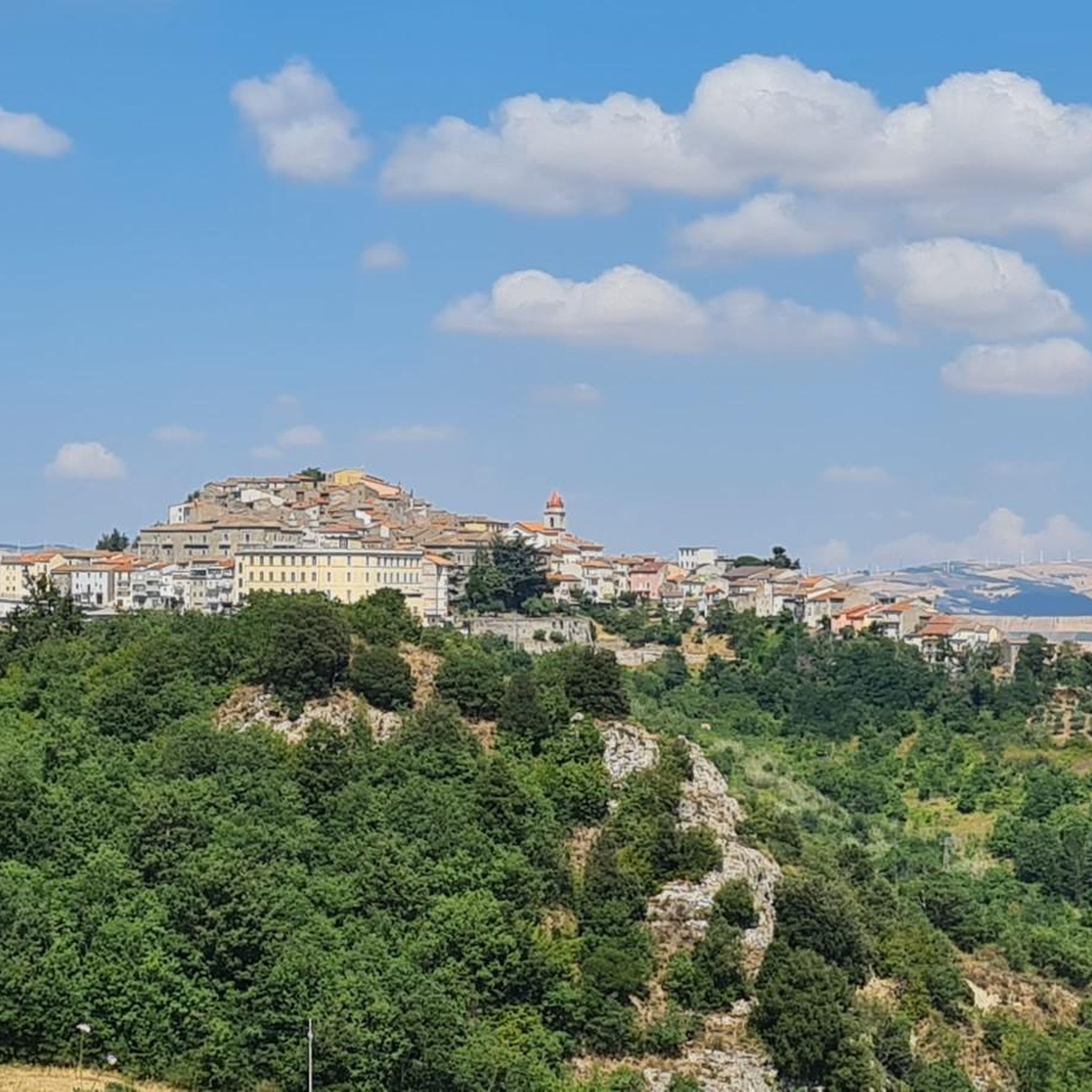
Hiking around San Marco La Catola offers exploration of the Daunia Sub-Apennines, a region characterized by its elevated position, rich woods, meadows, and streams. Situated at over 600 meters, the area provides diverse landscapes and cooler temperatures compared to the Foggia plain. The Fortore River Valley and the artificial Lago di Occhito contribute to the topographical variety, offering distinct natural features for hikers.
Best hiking trails around San Marco La Catola
- The most popular hiking route is Monte Orlando –…
Last updated: May 15, 2026
3.0
(1)
4
hikers
7.18km
02:11
240m
230m
Moderate hike. Good fitness required. Easily-accessible paths. Suitable for all skill levels.
6
hikers
8.00km
02:13
150m
150m
Moderate hike. Good fitness required. Easily-accessible paths. Suitable for all skill levels.

Sign up for free
5.0
(2)
3
hikers
10.2km
02:53
220m
220m
Moderate hike. Good fitness required. Easily-accessible paths. Suitable for all skill levels.
2
hikers
Moderate hike. Great for any fitness level. Mostly accessible paths. Sure-footedness required.
2
hikers
11.0km
03:14
310m
310m
Moderate hike. Good fitness required. Easily-accessible paths. Suitable for all skill levels.
Our route recommendations are based on thousands of hikes, rides, and runs completed by other people on komoot.
Start today with a free account
Your next adventure awaits.
Login or Signup


Other adventures around San Marco La Catola

Tips from the Community

unattended structure open for any parking emergencies
0
0


The reservoir💧has a total capacity (mc) of 333 million, while the useful capacity (mc) is approximately 250 million. Currently March 2025 the water availability 🚰 is around 54 million cubic meters. Drastic drop due to climate change, drought effect!
3
0
The Occhito lake is a large artificial lake, created with a dam on the Fortore river. It marks the border between Puglia and Molise for about 10 km. It is about 12 km long and half of it belongs to the province of Campobasso and the remaining part to the province of Foggia.
4
0

San Bartolomeo in Galdo is an Italian town in the province of Benevento, located in Campania, near the border with Puglia and Molise. It has ancient origins, dating back to the Roman and medieval periods, and has numerous historic buildings and churches, including the Church of San Bartolomeo Apostolo. The town is located in the hilly area of Val Fortore, surrounded by an agricultural landscape. Among the local traditions, there are religious celebrations and cultural events that involve the community.
0
0
Let me start by saying that I did a complete tour of the lake starting from the crossroads on the state road to Tufara and then going back up towards Celenza Valfortore. As far as I'm concerned, I preferred the Apulian side to the Molise side, both for the panorama and for the "quality" of the road. I suggest turning around at the barrier (Puglia side) since at a certain point there is no practicable route. We took absurd gambles in the middle of bushes full of thorns. Furthermore, according to the operators of the barrier, you have to call the consortium and get a permit to be able to cross.
0
0

Lago di Occhito is a fascinating artificial lake located in the Molise region of Italy. Surrounded by stunning landscapes and a variety of flora and fauna, it offers an ideal location for outdoor activities such as bird watching and fishing. puglia.com/celenza-valforte-e-lago-di-occhito
0
0
Frequently Asked Questions
What kind of terrain can I expect on hikes around San Marco La Catola?
Hiking around San Marco La Catola offers a diverse landscape characterized by extensive woods, open meadows, and the presence of streams. You'll explore the hilly terrain of the Daunia Sub-Apennines, with paths that can include dirt roads, especially around areas like Lago di Occhito.
Are there any circular hiking routes in the San Marco La Catola area?
Yes, several circular routes are available. For example, you can explore the Monte Orlando – Monte Sambuco loop from Monte Ventolosa, which connects two notable hills. Another option is the Occhito Dam loop from Diga di Occhito, offering views of the artificial lake.
What are the best times of year to go hiking in San Marco La Catola?
The best times for outdoor activities are late spring, from May to mid-June, when wildflowers are abundant and the weather is pleasant. Early autumn, specifically September to October, is also ideal, offering clear views over the Fortore valley and the opportunity to experience mushroom season.
What natural features or landmarks can I see while hiking near San Marco La Catola?
The region is rich in natural beauty. You can encounter the enchanting Bosco di San Cristoforo, known for its tall trees and relaxing spots. The artificial Lago di Occhito is a significant feature, offering stunning landscapes and diverse flora and fauna. The village itself is situated on a hillside overlooking the dramatic Fortore River Valley.
Are there any family-friendly hiking options around San Marco La Catola?
While specific 'easy' routes for very young children aren't highlighted, the area's moderate trails can be suitable for families with older children or those accustomed to hiking. The presence of picnic areas in places like Bosco di San Cristoforo adds to the family appeal. Always check the route details for elevation and distance to ensure it matches your family's ability.
Can I bring my dog on the hiking trails in San Marco La Catola?
The natural environment of San Marco La Catola, with its woods, meadows, and streams, is generally welcoming for dogs. Most trails in the Daunia Sub-Apennines are open to dogs, but it's always advisable to keep them on a leash, especially in areas with wildlife or near livestock, and to follow local regulations.
What do other hikers enjoy most about hiking in San Marco La Catola?
The area is highly rated by the komoot community, with an average score of 4.0 stars. Hikers often praise the varied terrain, the tranquility of the woods, and the panoramic views offered by the elevated position of the region. The trails around Lago di Occhito are particularly appreciated for their scenic beauty.
Are there any interesting towns or villages to explore near San Marco La Catola after a hike?
Yes, the region offers charming nearby settlements. San Bartolomeo in Galdo and Castelnuovo della Daunia are close by and feature historic centers worth exploring. San Marco La Catola itself has unique 'c'nant' (stepped alleys) in its historic center, offering a different kind of walking experience.
What is the elevation like for hiking in this region?
San Marco La Catola is situated at an altitude of over 600 meters, making it one of the highest villages in Apulia. This elevated position means hikes will involve ascents and descents, offering cooler temperatures and sharp air compared to the Foggia plain below. For instance, the Monte Orlando – Monte Sambuco loop has an elevation gain of approximately 239 meters.
Are there any specific trails that offer great viewpoints?
Given the region's elevated position and its location overlooking the Fortore River Valley, many trails offer excellent viewpoints. Routes that ascend to Monte Sambuco or explore the hills around Monte Ventolosa, such as the Monte Orlando – Monte Sambuco loop, provide panoramic vistas of the surrounding Daunia Sub-Apennines.
How many hiking trails are available around San Marco La Catola?
Based on komoot data, there are over 4 hiking routes in the area. These trails primarily offer moderate difficulty, exploring the diverse terrain of the Daunia Sub-Apennines.
What is the typical difficulty level of hiking trails in San Marco La Catola?
The hiking trails around San Marco La Catola are generally classified as moderate. This means they are suitable for hikers with a reasonable level of fitness and some experience, often involving varied terrain and moderate elevation changes.
Most popular attractions around San Marco La Catola

Get inspired with the komoot mobile app


Explore more
Browse the best Hikes in other regions.
