The best walks and hikes around Celenza Sul Trigno
4.4
(8)
24
hikers
5
hikes
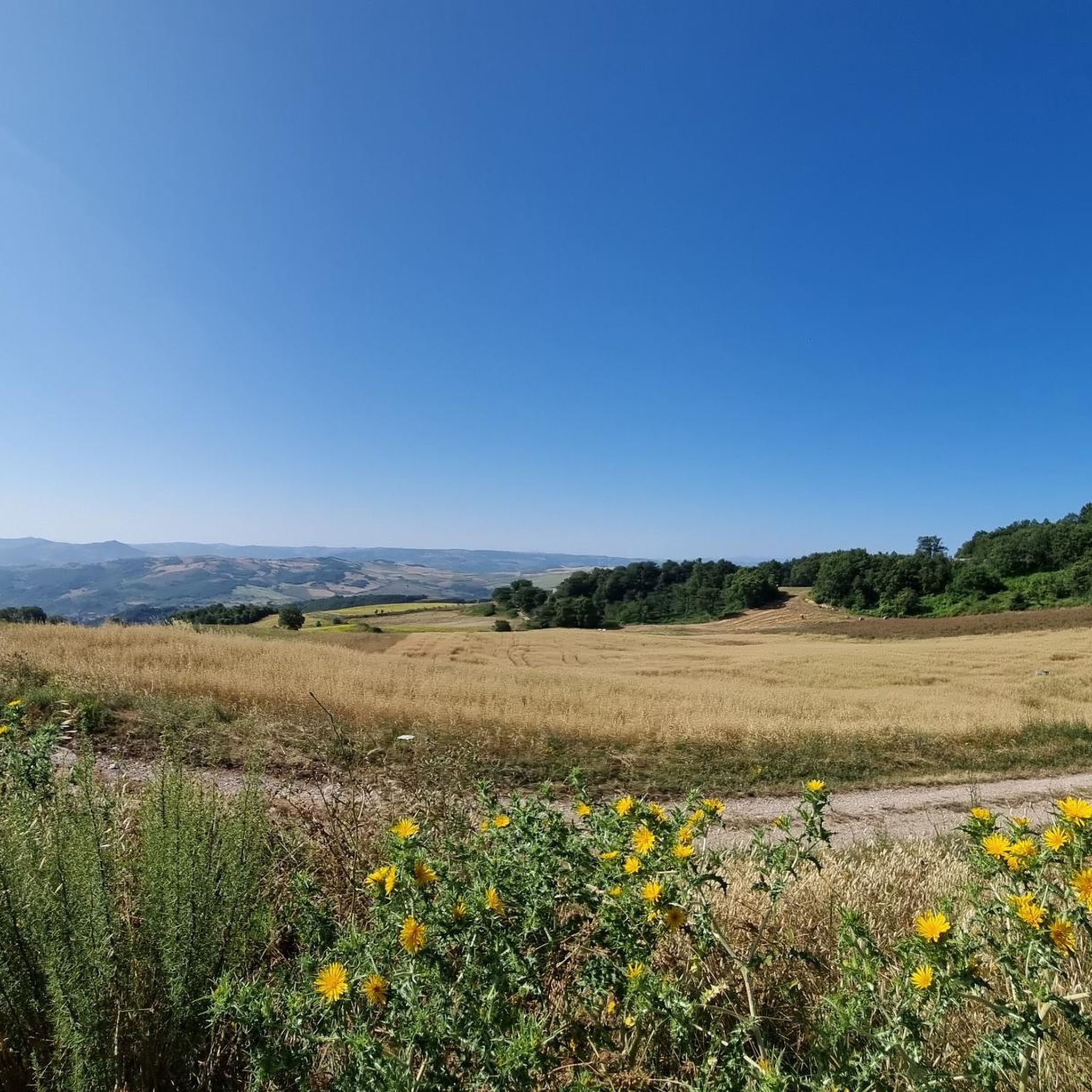
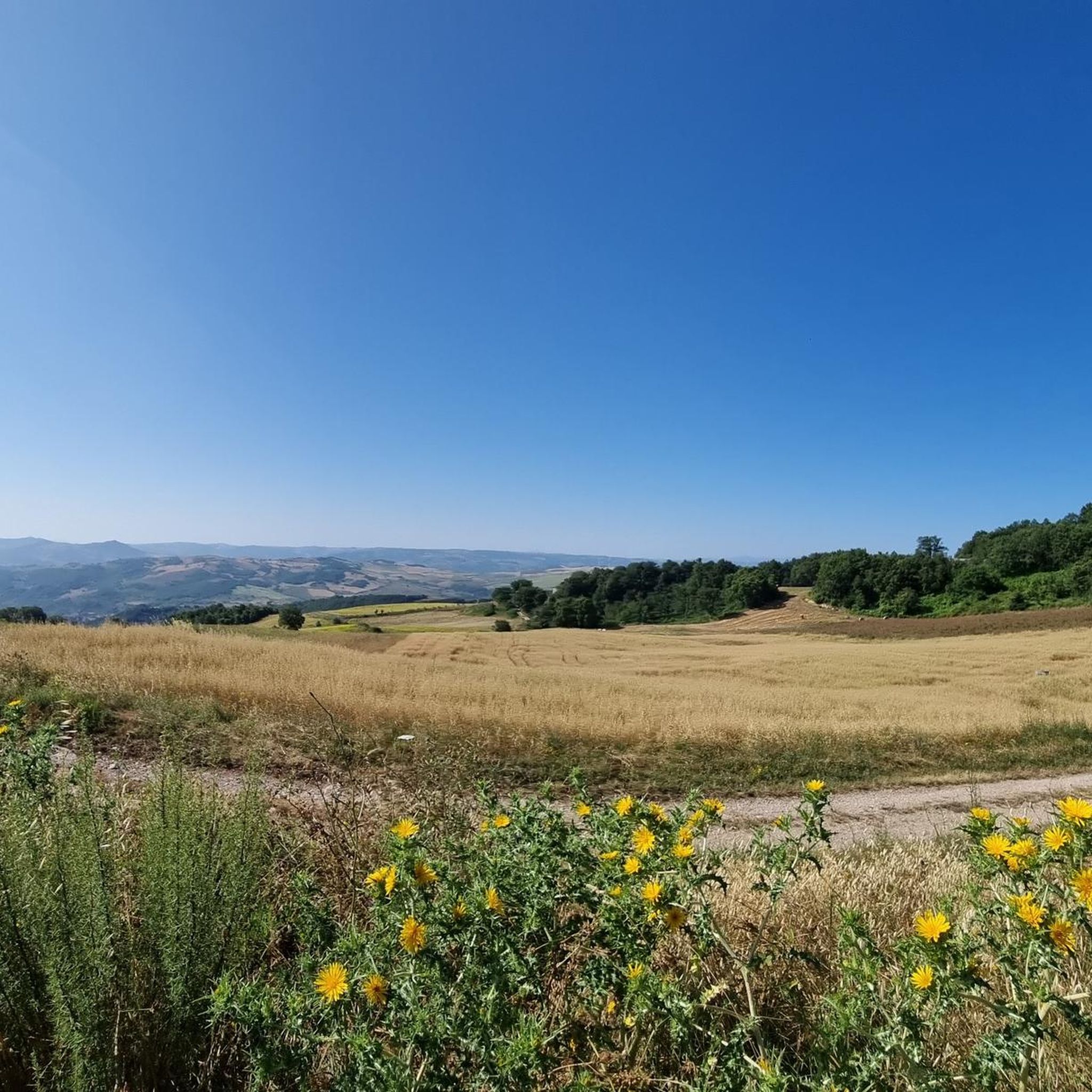
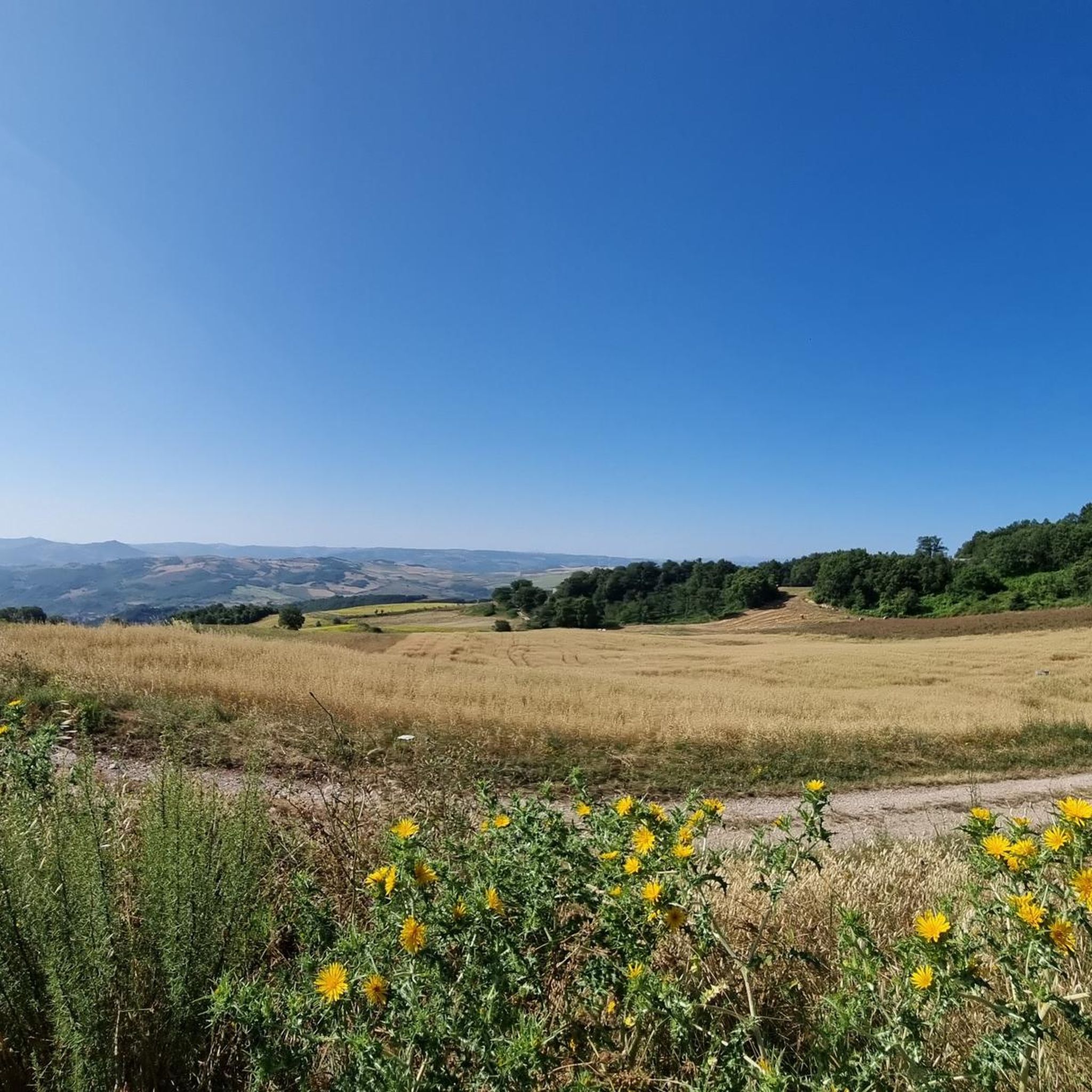
Hiking around Celenza Sul Trigno offers exploration of diverse landscapes in the Abruzzo region, situated at an elevation of 646 meters. The area features rolling hills, river valleys like the Trigno and Treste, and panoramic views extending towards the Maiella massif and the Adriatic Sea. Hikers will encounter varied vegetation, including oak woods and Mediterranean scrub, as trails descend towards the Trigno river. This elevated position provides a unique perspective of the surrounding natural environment.
Best hiking trails around Celenza…
Last updated: June 27, 2026
3.8
(4)
9
hikers
8.04km
02:37
380m
380m
Moderate hike. Good fitness required. Easily-accessible paths. Suitable for all skill levels.
5.0
(2)
6
hikers
7.51km
02:14
230m
220m
Moderate hike. Good fitness required. Easily-accessible paths. Suitable for all skill levels.

Sign up for free
5
hikers
16.8km
05:09
580m
580m
Hard hike. Very good fitness required. Easily-accessible paths. Suitable for all skill levels.
4.0
(1)
3
hikers
5.47km
01:40
200m
200m
Easy hike. Great for any fitness level. Easily-accessible paths. Suitable for all skill levels.
5.0
(1)
1
hikers
5.81km
01:45
190m
190m
Easy hike. Great for any fitness level. Easily-accessible paths. Suitable for all skill levels.
Our route recommendations are based on thousands of hikes, rides, and runs completed by other people on komoot.
Start today with a free account
Your next adventure awaits.
Login or Signup
Popular around Celenza Sul Trigno
Tips from the Community

Frequently Asked Questions
How many hiking trails are available around Celenza Sul Trigno?
Celenza Sul Trigno offers a selection of 5 diverse hiking routes. These trails vary in difficulty, providing options for different experience levels, from easy walks to more challenging treks through the region's scenic landscapes.
What is the best time of year to go hiking in Celenza Sul Trigno?
The region around Celenza Sul Trigno is particularly beautiful in spring, when the hillsides burst into color with flowering broom, and in autumn, when the oak woods transform into vibrant shades of red and ochre. These seasons offer pleasant temperatures and stunning natural scenery for hiking.
Are there easy hiking trails suitable for beginners in Celenza Sul Trigno?
Yes, there are 2 easy hiking trails perfect for beginners or those looking for a relaxed walk. One such option is the Montemitro – Tufillo Hilltop Village loop from Montemitro, which is 3.4 miles (5.5 km) long and takes about 1 hour 40 minutes to complete.
Are there any challenging hikes for experienced trekkers in the area?
For experienced trekkers seeking a challenge, Celenza Sul Trigno offers 1 difficult route. The Tufillo loop from Time Cafè is a demanding 10.4 miles (16.7 km) trail with an elevation gain of 577 meters, typically taking around 5 hours 9 minutes to complete.
Can I find circular hiking routes in Celenza Sul Trigno?
Yes, many of the trails around Celenza Sul Trigno are circular, allowing you to start and end in the same location. For example, the Colle Carunchina loop from Torrebruna is a moderate 5.0 miles (8.0 km) route that takes about 2 hours 37 minutes.
What kind of views can I expect on the hiking trails?
Hikers in Celenza Sul Trigno can expect breathtaking panoramic views. From the village and many trails, you can see across the Trigno river valley, extending to the majestic Maiella massif, and even catch glimpses of the Adriatic Sea on clear days. The elevated position provides a unique perspective of the rolling hills and diverse landscapes.
Are there any historical sites or landmarks to see along the hiking routes?
Yes, the region is rich in history. You might encounter ancient pathways and historical structures. For instance, the 8th-century Longobard tower, Torre della Fara, is situated on an ancient sheep-track near the Trigno River. The village itself also features a medieval urban layout and the 18th-century Church of Santa Maria delle Grazie.
What do other hikers enjoy most about the trails in Celenza Sul Trigno?
The trails in Celenza Sul Trigno are highly rated by the komoot community, with an average score of 4.6 stars from 7 reviews. Hikers often praise the diverse terrain, the panoramic vistas, and the opportunity to explore both natural beauty and historical sites.
Are there any trails that pass through unique natural features?
Absolutely. The trails often wind through diverse vegetation, including oak woods and Mediterranean scrub. You might also encounter the spectacular 'Quercia Natale,' a notable oak tree located in the Martinelle locality, offering a unique natural landmark to discover.
Are there any moderate hiking options available?
Yes, there are 2 moderate hiking trails. Besides the Colle Carunchina loop, another popular choice is the Hiking loop from San Giovanni Lipioni, a 4.7 miles (7.5 km) path that offers views of the surrounding valleys and takes approximately 2 hours 14 minutes to complete.
What kind of natural environment defines the hiking experience in Celenza Sul Trigno?
Hiking in Celenza Sul Trigno is characterized by rolling hills, picturesque river valleys like the Trigno and Treste, and diverse woodlands. The trails descend towards the Trigno river, offering varied flora from Mediterranean scrub to enchanting woods of oaks and beech trees, providing a rich natural environment for exploration.
Most popular routes around Celenza Sul Trigno
Most popular attractions around Celenza Sul Trigno

Get inspired with the komoot mobile app


Explore more
Browse the best Hikes in other regions.
