The best mountain hikes in Geißwand
4.8
(6)
114
hikers
13
hikes
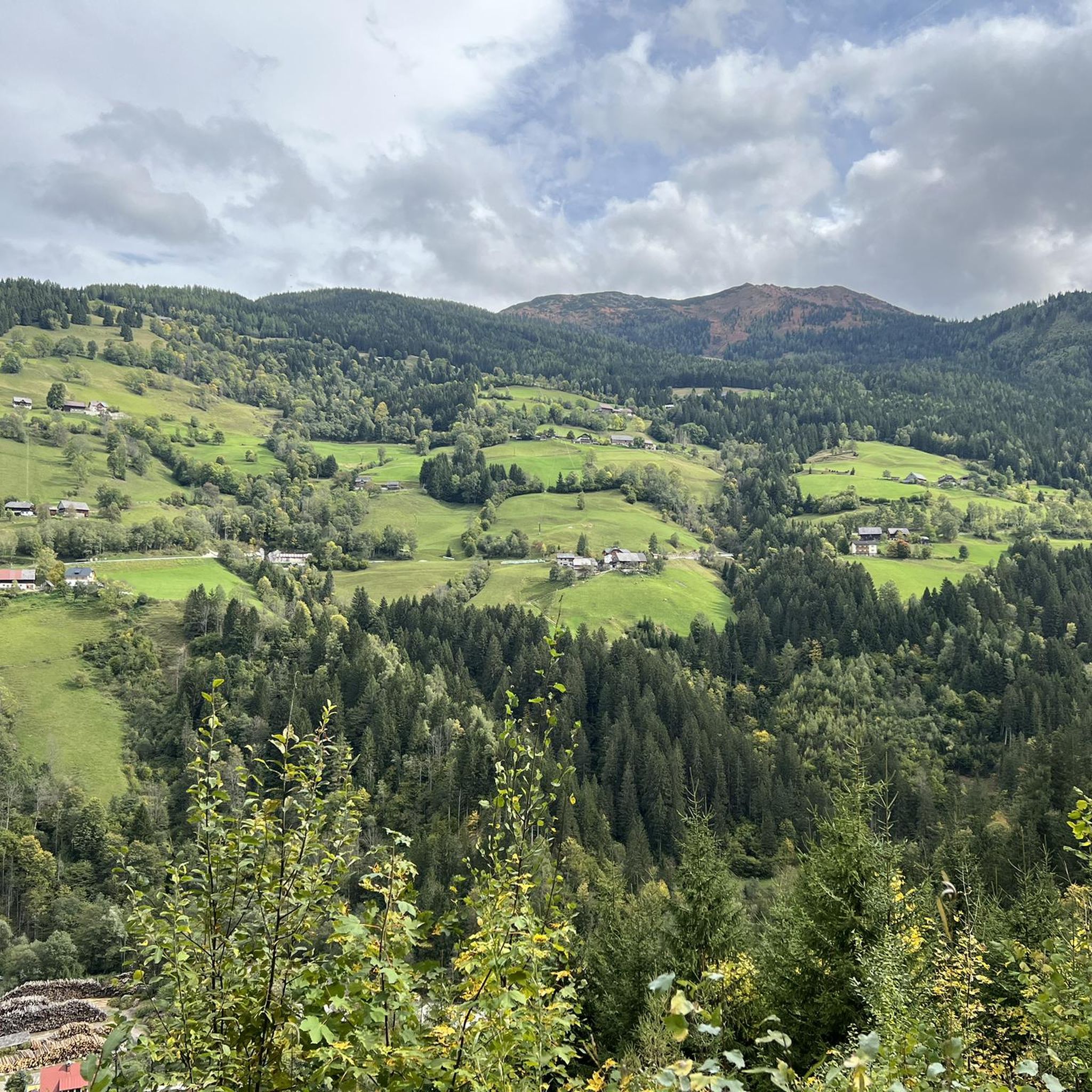
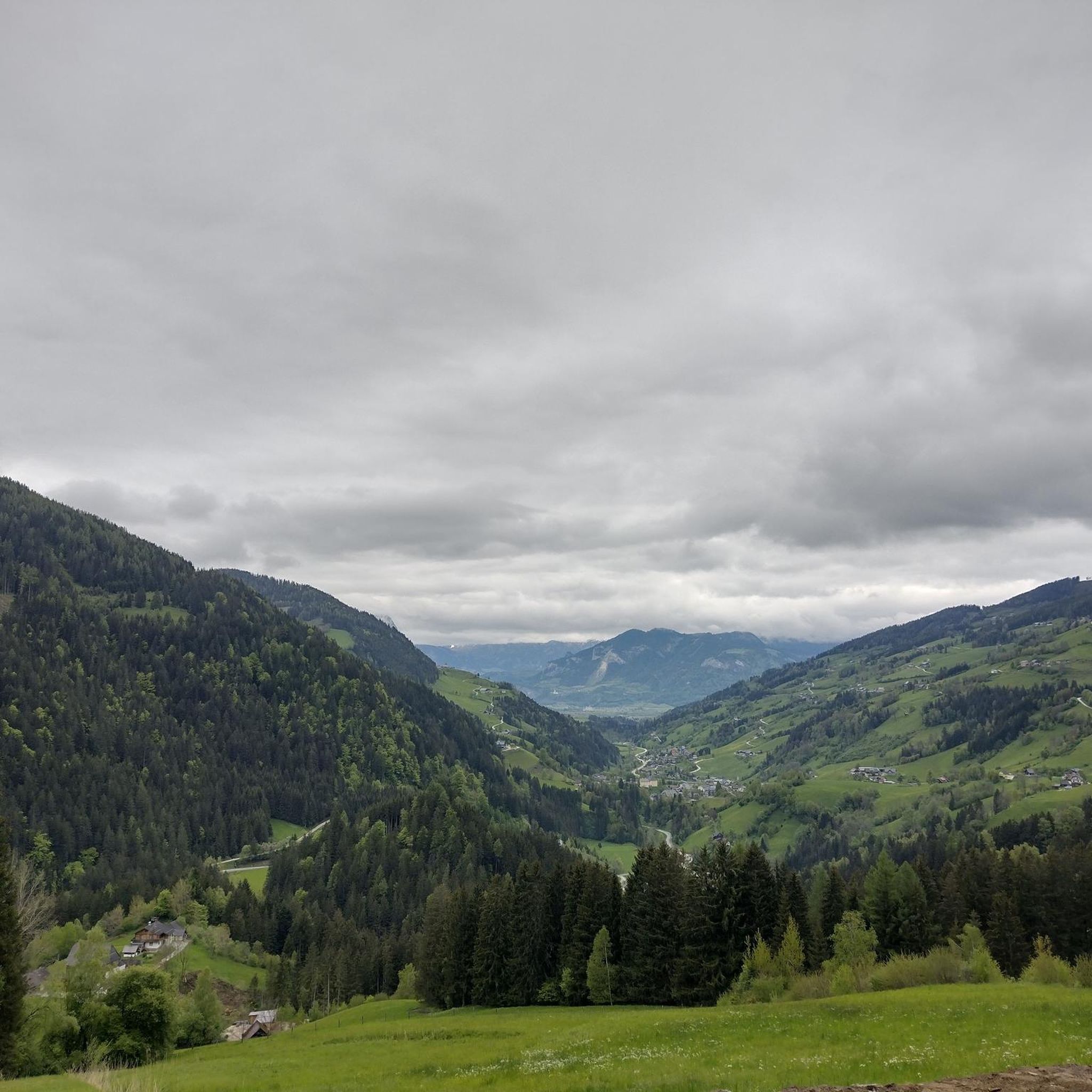
Mountaineering routes in Geißwand offer diverse terrain, from forest paths to steeper, rocky sections, leading to an 872-meter peak. The region provides panoramic views over Lake Traunsee and the surrounding mountain panorama. Ascents often feature challenging sections, including light climbing or scrambling, some secured with ropes. The area is known for its tranquility, offering a peaceful experience for visitors seeking solitude.
Best mountaineering routes in Geißwand
- The most popular mountaineering route is Mölbegg Summit Cross loop from Donnersbacher Klamm,…
Last updated: May 20, 2026
9
hikers
6.67km
04:32
780m
780m
Hard mountaineering route. Good fitness required. Sure-footedness, sturdy shoes and alpine experience required.
7
hikers
17.0km
07:15
1,150m
1,150m
Hard mountaineering route. Very good fitness required. Sure-footedness, sturdy shoes and alpine experience required.

Sign up for free
7
hikers
15.4km
05:34
940m
940m
Hard mountaineering route. Very good fitness required. Mostly accessible paths. Sure-footedness required.
29
hikers
12.6km
05:33
930m
930m
Hard mountaineering route. Very good fitness required. Sure-footedness, sturdy shoes and alpine experience required.
25
hikers
6.77km
02:43
460m
460m
Moderate mountaineering route. Good fitness required. Mostly accessible paths. Sure-footedness required.
Get access to more routes and recommendations from other explorers.
Sign up for free
Already have an account?
Our route recommendations are based on thousands of hikes, rides, and runs completed by other people on komoot.
Start today with a free account
Your next adventure awaits.
Login or Signup
Other adventures in Geißwand

Tips from the Community

also a beautiful ski touring destination in winter
0
0
also a rewarding ski touring destination in winter due to the toboggan run with excellent refreshments
0
0

After a strenuous climb (from Donnersbachwald) you are rewarded with a sensational panoramic view.
2
0
A very charming mountain hut – good food, excellent service. The perfect place for a final refreshment before continuing the climb.
2
0


A very nice alpine hut, but it's called Oxnalm. Upon request, they even prepared Kaiserschmarrn for us, even though it wasn't on the menu.
0
0

The waterfall can be found about 200 meters further uphill...
0
0
Frequently Asked Questions
How many mountaineering routes are available in Geißwand?
There are 13 mountaineering routes available in Geißwand, offering a range of experiences from moderate to difficult. These routes provide diverse terrain, from forest paths to steeper, rocky sections, often leading to panoramic views over Lake Traunsee.
What are the typical difficulty levels for mountaineering routes in Geißwand?
The mountaineering routes in Geißwand are generally considered moderate to difficult. You'll find 4 moderate routes and 9 difficult routes, often featuring challenging ascents and scrambling sections, some of which are secured with ropes. Good basic fitness and surefootedness are recommended.
Are there any circular mountaineering routes in Geißwand?
Yes, many of the mountaineering routes in Geißwand are circular. For example, you could explore the challenging Gstemmerscharte – Wild Descent Trail loop from Donnersbachwald, which covers 12.7 km, or the more moderate View of Karlspitze loop from Planneralm Rotbühellift, a 6.5 km tour.
What kind of views can I expect on the mountaineering routes?
Mountaineering in Geißwand offers magnificent panoramic views. You can expect stunning vistas over Lake Traunsee and the surrounding mountain panorama, including peaks like Traunstein, Schönberg, and Erlakogel, as well as the towns of Traunkirchen, Altmünster, and Gmunden.
What is the best season for mountaineering in Geißwand?
The best season for mountaineering in Geißwand is typically from late spring to early autumn when the weather is most stable and trails are clear of snow. This allows for optimal conditions to enjoy the diverse terrain and panoramic views. Winter mountaineering is possible but requires specific equipment and experience due to snow and ice conditions.
Are there any specific attractions or landmarks near the mountaineering routes?
The charming town of Traunkirchen is a notable attraction near the mountaineering routes. After your hike, you can explore its Johannesberg Chapel and enjoy the lake promenade. The routes themselves offer natural landmarks like the Geißwand and Baalstein peaks, known for their impressive outlooks.
How can I reach Geißwand using public transport?
Traunkirchen, a common starting point for many Geißwand routes, is accessible by public transport. You can typically reach Traunkirchen via train or bus connections, often from larger towns in Upper Austria. It's advisable to check local transport schedules for the most current information.
Are there options for food and drink near the trails?
Yes, the town of Traunkirchen, which serves as a base for many Geißwand mountaineering routes, offers various cafes and restaurants where you can refuel after your hike. You'll find options for refreshments and meals to enjoy by Lake Traunsee.
What do other mountaineers say about the routes in Geißwand?
The mountaineering routes in Geißwand are highly rated by the komoot community, with an average score of 4.75 stars. Reviewers often praise the tranquility and solitude found on the trails, the stunning panoramic views, and the engaging challenge of the diverse terrain, including scrambling sections.
Are there any less-frequented routes for a more peaceful experience?
Yes, Geißwand and its neighboring Baalstein offer a greater sense of tranquility and seclusion compared to more frequented peaks in the region. Many routes, including the challenging Gstemmerscharte loop from Donnersbachwald, provide a peaceful mountain experience away from the crowds.
What kind of terrain should I expect on a typical mountaineering route here?
You should expect diverse terrain on Geißwand's mountaineering routes. This includes segments through dense forests, leading to steeper, rocky sections. The summit areas of Geißwand and Baalstein often feature 'light climbing' or 'scrambling' sections, some of which are secured with ropes, adding to the mountaineering experience.
Most popular routes in Geißwand

Get inspired with the komoot mobile app


Explore more
Browse the best Mountain Hikes & Routes in other regions.
