Top 5 Mountain Passes around Thélis-La-Combe
Best mountain passes around Thélis-La-Combe are situated within the Pilat Regional Natural Park, characterized by a hilly, mid-mountain landscape. The area features numerous elevated points and scenic routes, offering panoramic views. Thélis-La-Combe itself has an average altitude of 926 meters, with elevations ranging from 600 to over 1,300 meters. These locations provide diverse opportunities to experience the natural environment.
Best mountain passes around Thélis-La-Combe
- The most popular mountain pass is Chaubouret Cross, a natural monument that offers nearly 360°…
Last updated: May 14, 2026
Col de l'Œillon (1233 m)
Highlight • Mountain Pass
Possible extension to Crêt de l'Oeillon about 15min.
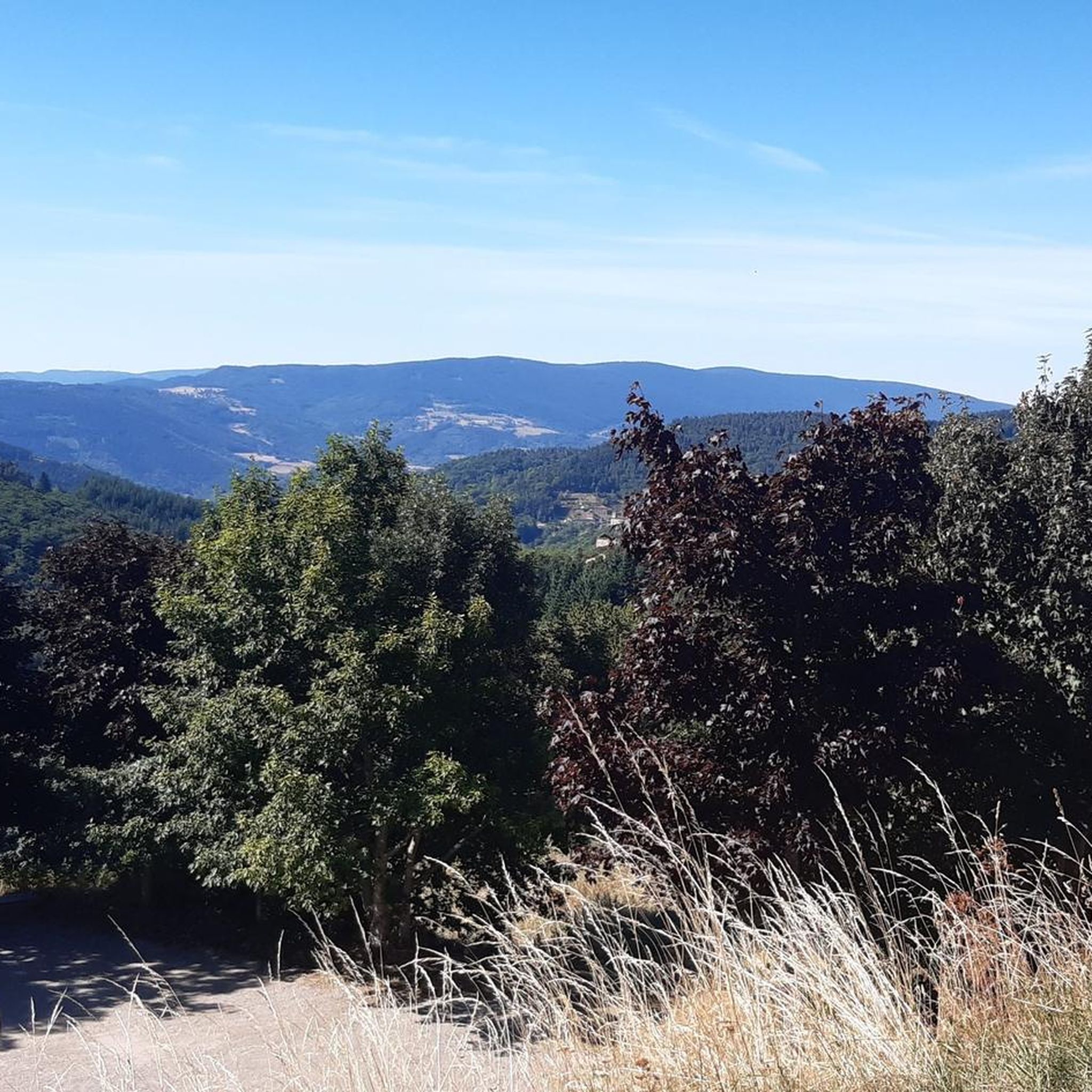
Superb 360 panorama!
Translated by Google •
Tip by

Chaubouret Cross
Highlight • Natural Monument
Translated by Google •
Tip by

Sign up now to discover places like this
Get recommendations on the best single tracks, peaks, & plenty of other exciting outdoor places.
Sign up for free
Col du Tracol
Highlight • Mountain Pass
Translated by Google •
Tip by

Croix du Collet
Highlight • Rest Area
An inn is located at the pass and allows you to taste local specialties.
Translated by Google •
Tip by

Col du Fayet
Highlight • Climb
Translated by Google •
Tip by

Sign up for free to discover even more mountain passes around Thélis-La-Combe.
Sign up for free
Already have an account?
Start today with a free account
Your next adventure awaits.
Login or Signup

Tips from the Community

Official pass referenced, possibility of continuing to the Col de l'Oeillon.
0
0

Climbed from Serrières, passing through the vineyards to avoid the main road. A real pleasure to climb, the road is not very busy.
0
0

Good place for a coffee break and refilling cans.
0
0

The Croix du Collet is a pass of Pilat. It is the meeting point for cyclists, hikers, trail runners and other nature lovers. An inn is located at the pass and allows you to taste local specialties.
0
0

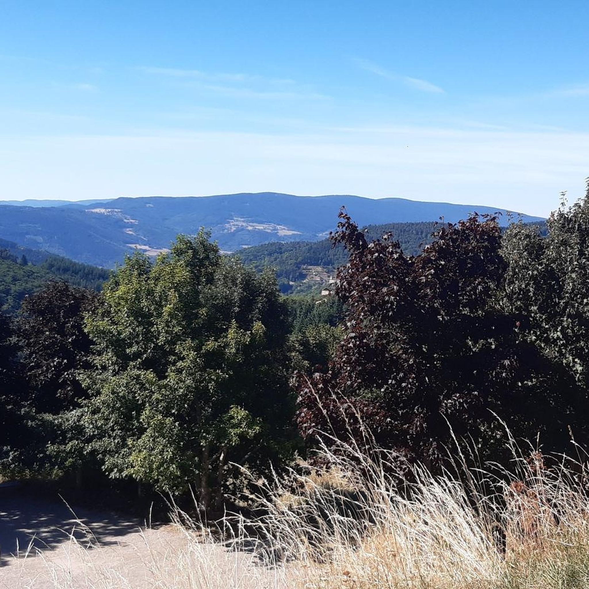
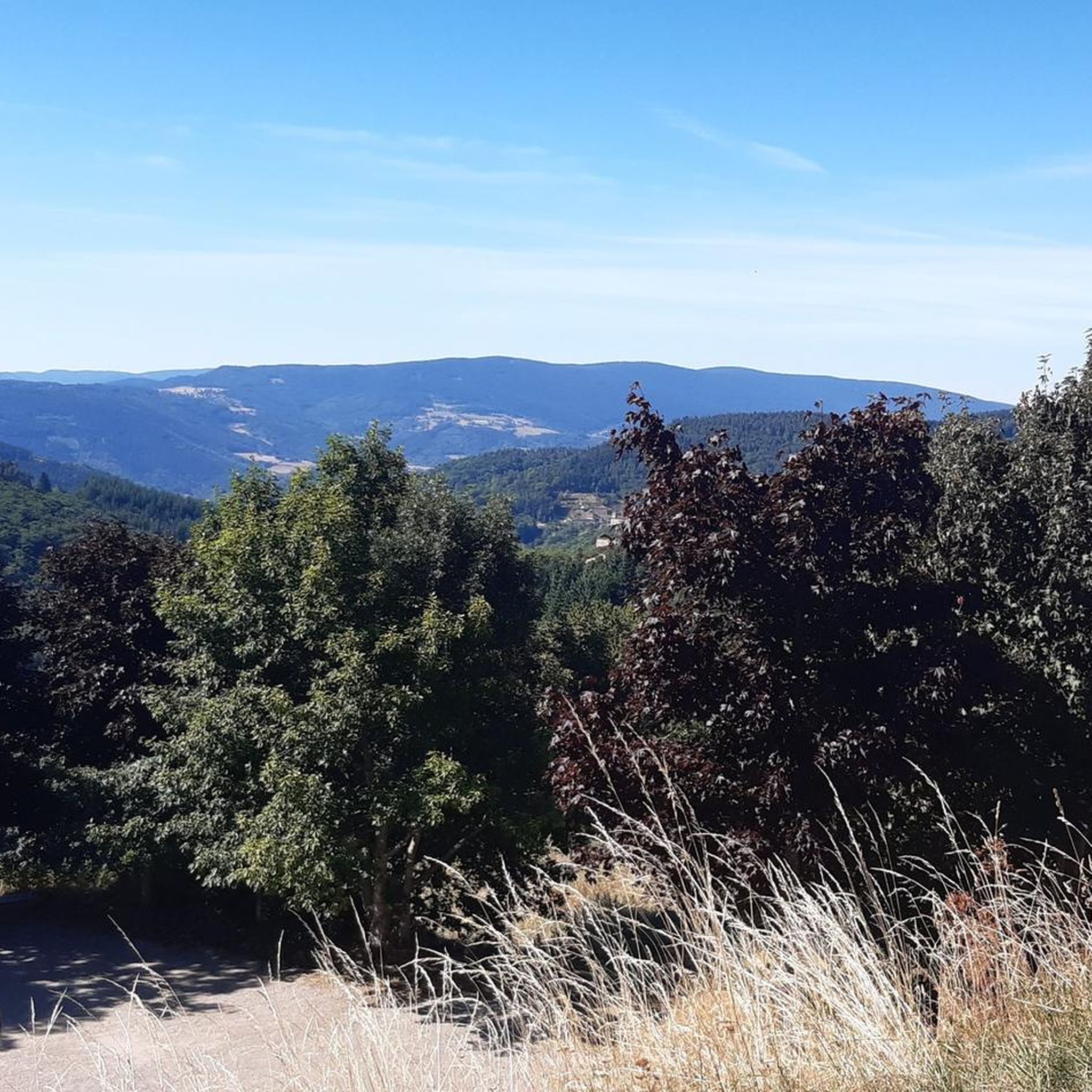
Magnificent panoramas of the Alps, the Rhône valley, Pilat and the Monts du Vivarais, almost a 360°!
2
0

Really long hill with a low gradient between 3 and 7 %max. Stunning views to mountains all the way. After to reached 1250m a really long downhill will follow you for many many km.
1
0

Between Loire and Haute Loire, at 1030 m, the Tracol resembles an Alpine pass with its terminal bends. to do on weekends to avoid overtaking by trucks
1
0

The Col du Fayet is 9.68m long with a total drop of 470m. The average gradient is 4.86% with maximum gradients of 7.1%.
1
0
Frequently Asked Questions
What are some notable elevated points or 'mountain passes' in the Thélis-la-Combe area?
While Thélis-la-Combe is in a mid-mountain landscape rather than a high-alpine region, it offers several elevated points and scenic routes that function like mountain passes, providing extensive views. Key locations include Chaubouret Cross, known for its nearly 360° panoramas, and Col de l'Œillon (1233 m), which also offers superb views and is a challenging climb. Other significant points include Crêt de la Perdrix, the highest point in the Pilat massif, and Crêt de la Chèvre, both offering impressive vistas.
What kind of views can I expect from the elevated points around Thélis-la-Combe?
The elevated points in the Pilat Regional Natural Park offer breathtaking panoramic views. From locations like Chaubouret Cross and Col de l'Œillon (1233 m), you can often see the Alps, the Rhône valley, the Pilat massif, and the Monts du Vivarais. On clear days, views can extend to the Jura Mountains, the Ardèche summits, and the Forez regions.
Are there hiking trails near these elevated points?
Yes, the area is rich with hiking opportunities. For instance, the 'Crêts du Pilat' trail encompasses Crêt de la Perdrix and Crêt de la Chèvre. There are also trails leading to Crêt de Tombe Loup from areas like La Versanne or Bourg-Argental. You can find various hiking routes, including moderate loops like the Crêt de la Perdrix – Crêt de la Chèvre loop from Le Bessat, on our Hiking around Thélis-La-Combe guide.
What is the best time of year to visit the mountain passes and elevated viewpoints?
The Pilat Regional Natural Park is beautiful year-round, but for hiking and enjoying clear panoramic views, spring, summer, and autumn are generally ideal. Spring brings blooming flora, summer offers warm weather, and autumn showcases vibrant foliage. Winter can be picturesque but may involve snow and colder conditions, requiring appropriate gear.
Are there any facilities available at these elevated points?
Some locations offer basic facilities. For example, Chaubouret Cross provides a picnic room with toilets and a water point, which is very practical for visitors. Other points are more natural and may not have specific amenities.
What kind of cycling opportunities are there around Thélis-la-Combe's elevated points?
The region is popular for cycling, with several climbs and passes. Col de l'Œillon (1233 m) is classified as an 'out of category' climb from the banks of the Rhône, offering a significant challenge. Col du Fayet is another notable climb, 9.68 km long with an average gradient of 4.86%. You can explore various cycling routes on our Cycling around Thélis-La-Combe guide.
Are there family-friendly options for exploring the elevated areas?
Yes, there are options suitable for families. Many trails offer varying levels of difficulty. For instance, some sections of the 'Crêts du Pilat' trail can be adapted for shorter, easier walks. The area's natural beauty, forests, and viewpoints provide engaging experiences for all ages. Always check the specific trail's difficulty and length before heading out with children.
Can I bring my dog on the trails and to the elevated viewpoints?
Generally, dogs are welcome on trails within the Pilat Regional Natural Park, but it's always advisable to keep them on a leash, especially in areas with wildlife or livestock, and to follow local regulations. Ensure you carry water for your dog and clean up after them to preserve the natural environment.
What is the altitude range in the Thélis-la-Combe area?
Thélis-la-Combe itself has an average altitude of 926 meters. The elevations in the surrounding Pilat Regional Natural Park range from approximately 600 meters up to 1,431 meters at the Crêt de la Perdrix, the highest point in the massif.
Are there any specific historical or cultural landmarks near these elevated points?
While the primary focus of these elevated points is natural beauty and panoramic views, the region has a rich history. The Col du Tracol, for example, marks the border between the Loire and Haute-Loire departments, a historical administrative division. Exploring the trails might also lead you past traditional hamlets and older structures that reflect the local heritage.
What do visitors enjoy most about the elevated points and passes in this region?
Visitors frequently highlight the magnificent panoramic views, especially those extending to the Alps and the Rhône valley. The sense of accomplishment after a challenging climb, like to Col de l'Œillon (1233 m), is also a common positive. The peacefulness of the forests and the well-maintained trails for hiking and cycling are also highly appreciated.
Are there opportunities for gravel biking around Thélis-la-Combe's elevated points?
Yes, the area is well-suited for gravel biking, offering a mix of trails and roads. Routes like the La Jasserie Refuge – Col de l'Œillon (1233 m) loop from Colombier provide challenging and scenic rides. You can find more gravel biking routes on our Gravel biking around Thélis-La-Combe guide.
Most popular routes around Thélis-La-Combe
Most popular attractions around Thélis-La-Combe

Get inspired with the komoot mobile app


Explore more
See even more epic mountain passes by checking out these guides around Thélis-La-Combe:
