The best running trails around Oltingen
4.5
(127)
3,045
runners
214
runs
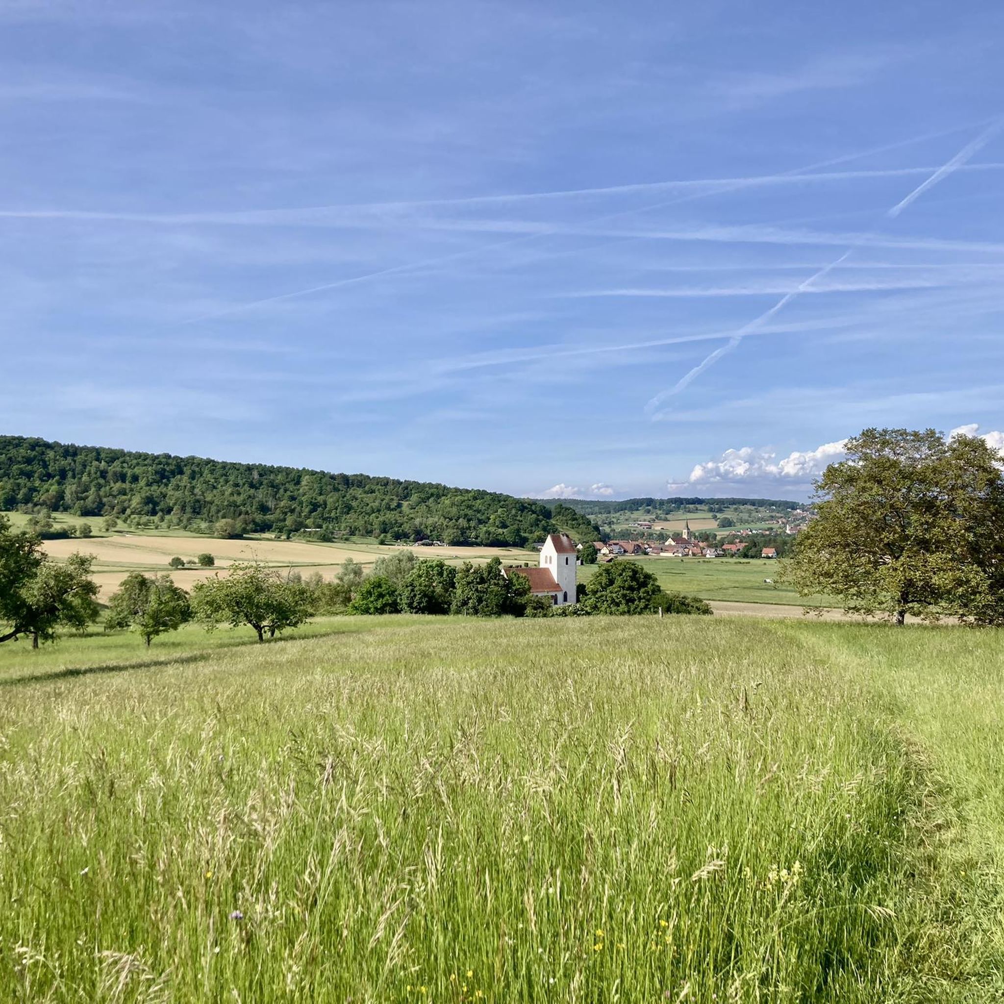
Jogging routes around Oltingen offer a diverse landscape for runners, situated in the Basel-Landschaft canton of Switzerland. The region features a mix of gently sloping hills, dense forests, and open fields, providing varied running experiences. Part of the Jura heights, the area is characterized by meadows and woodlands, with routes often passing through cultural landscapes like cherry orchards and near natural water features. This terrain provides options for both moderate elevation changes and flatter paths.
Best jogging routes around Oltingen
…Last updated: August 14, 2026
5.0
(1)
9
runners
12.7km
01:26
220m
220m
Moderate run. Good fitness required. Mostly paved surfaces. Suitable for all skill levels.
11
runners
Moderate run. Good fitness required. Mostly paved surfaces. Suitable for all skill levels.

Sign up for free
4
runners
7.27km
00:50
90m
90m
Moderate run. Good fitness required. Mostly paved surfaces. Suitable for all skill levels.
4
runners
11.4km
01:11
70m
70m
Moderate run. Good fitness required. Mostly paved surfaces. Suitable for all skill levels.
5.0
(1)
7
runners
8.51km
00:53
50m
50m
Moderate run. Good fitness required. Mostly paved surfaces. Suitable for all skill levels.
Get access to more routes and recommendations from other explorers.
Sign up for free
Already have an account?
Our route recommendations are based on thousands of hikes, rides, and runs completed by other people on komoot.
Start today with a free account
Your next adventure awaits.
Login or Signup
Tips from the Community

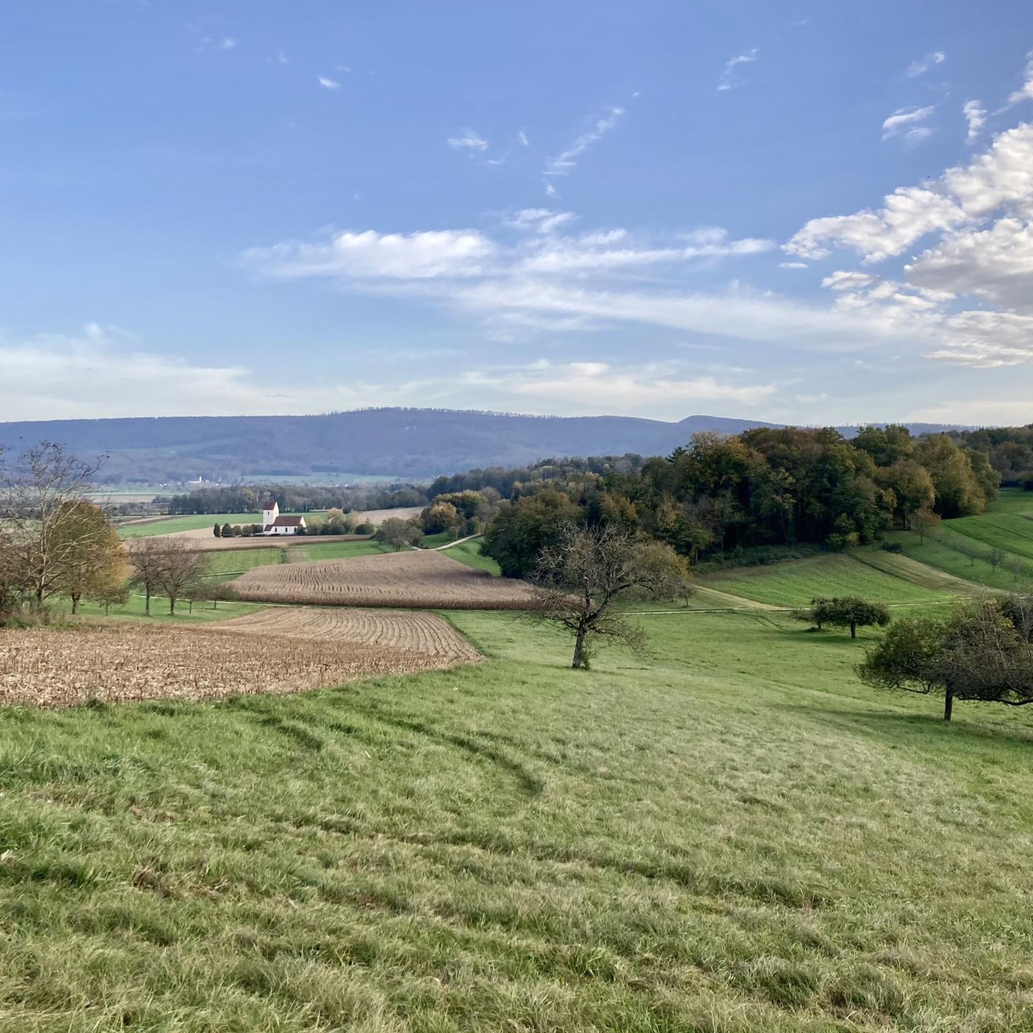
Magnificent place with a great view of the surrounding hills!
0
0

the former gas station was apparently recently sold, dismantled and the building renovated. the gas station is definitely gone and now the parking lot for the renovated building.
1
0

Added to the collection: komoot.com/de-de/collection/3600632/-naturdenkmaeler-besondere-baeume-und-weitere-schaetze-der-natur
0
0

This bunker is one of several in Bettlach. Like the others, it can be viewed inside. Since it's pitch black, a flashlight is recommended. There's also a bunker trail that takes you to two more bunkers in the forest.
0
0
Yes, getting through here requires some leg power and steering skills. Depending on the past weather, the wide path can be so muddy that it's almost impassable. BUT right next to it, there's a small singletrack trail that allows for good progress.
0
0

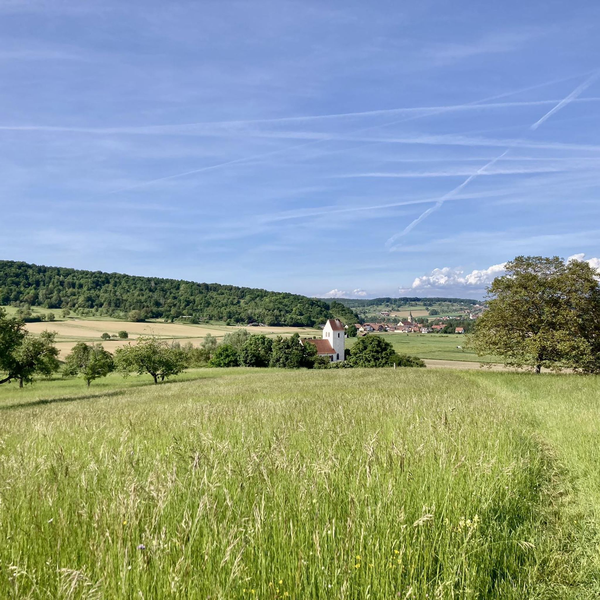
Raedersdorf is located in the southernmost part of Alsace, in the hilly landscape of the Sundgau, close to the Swiss border. The village is surrounded by forests, springs and hiking trails leading to heritage sites such as the Église Saint-Étienne with its baroque interior and Callinet organ, and the Mariabrunn chapel in the forest. Its location between French-speaking and German-speaking Switzerland makes Raedersdorf a place where cultures come together.
8
0
The church of Raedersdorf was built in its present form between 1807 and 1811, on the foundations of an older church, the tower of which has been partly preserved. The interior was richly decorated in 1811 by sculptor Joseph Antoine Feuerstein, with a harmonious baroque ensemble. The organ was also built in the same year by Jean Frantz. The church was finally consecrated in 1851. It is located in the centre of the village, close to the town hall, and is a silent witness to religious art and village history in the south of Alsace.
10
0

Frequently Asked Questions
How many running routes are available around Oltingen?
There are over a dozen dedicated running routes around Oltingen, catering to various fitness levels. The komoot community has explored 13 routes in the area, with the majority being moderate and one challenging option.
What kind of terrain can I expect on jogging trails in Oltingen?
The terrain around Oltingen is quite varied, offering a mix of gently sloping hills, dense forests, and open fields. You'll find paths with moderate elevation changes, as well as flatter sections, often passing through picturesque cultural landscapes like cherry orchards and near natural water features. The region is part of the Jura heights, characterized by meadows and woodlands.
Are there any scenic viewpoints along the running routes in Oltingen?
Yes, the region around Oltingen offers several impressive viewpoints. Trails often lead to spots like Geissflue, which provides views of the Black Forest, or Schafmatt and Wasserflue, offering vistas of the Central Plateau and the Alpine arc. The Zigflue viewpoint also provides deep views of the surrounding landscape, dotted with cherry trees and villages.
Can I find circular running routes in Oltingen?
Absolutely. Many of the running routes in Oltingen are designed as loops, making them convenient for joggers. For example, the challenging route Le Gros Chêne de Sondersdorf – Ferrette Castle and Pond loop from Oltingue is a popular circular option, covering 14.2 km.
What are some natural features or landmarks I might see while running in Oltingen?
Jogging around Oltingen allows you to discover several natural and historical landmarks. You might encounter the notable Le Gros Chêne de Sondersdorf, a large oak tree, or pass by the scenic Loechle Rock viewpoint. The area also features natural water attractions like the Small Waterfall Near Oltingen and the Giessen waterfall. For history enthusiasts, the Alt-Biederthal Castle Ruins are also nearby.
Are there any family-friendly running options in the Oltingen area?
While most routes are moderate to difficult, the varied terrain means you can find paths suitable for different fitness levels. For a relatively flatter and shorter run, the Bridge in Oltingue – Ill Crossing loop from Oltingue is a moderate 5.8 km route with minimal elevation gain, which could be a good option for families looking for a less strenuous outing.
What do other runners say about the trails in Oltingen?
The running routes in Oltingen are highly regarded by the komoot community, boasting an average rating of 4.5 stars from over 80 reviews. More than 3,000 runners have used komoot to explore the diverse landscapes, often praising the well-maintained paths and the beautiful natural scenery.
Are there any historical sites or cultural attractions accessible from the running trails?
Yes, you can combine your run with a touch of history. The village of Oltingen itself features historical buildings like the Untere Mühle (built 1597) and the Grosse Huus (built 1514). Additionally, the route Bridge in Oltingue – Farm Museum loop from Oltingue takes you past the Farm Museum, offering a cultural stop during your run.
When is the best time of year to go running in Oltingen?
Spring is particularly beautiful for running in Oltingen, as the Baselbiet region is famous for its blooming cherry trees. Routes like the 'Baselbieter Chirsiweg' (Cherry Blossom Trail) offer a stunning backdrop. The region's shady forests and ridgeway paths also provide refreshing runs during warmer months, and the varied terrain is enjoyable throughout much of the year.
What is the elevation gain like on the running routes around Oltingen?
The elevation gain varies significantly across the routes. You can find relatively flat paths, such as the Ill Crossing – Bridge in Oltingue loop from Oltingue, which has an elevation gain of about 50 meters over 8.5 km. For a more challenging run, the Le Gros Chêne de Sondersdorf – Ferrette Castle and Pond loop from Oltingue features an elevation gain of approximately 330 meters over 14.2 km.
Are there any routes that pass by castles or monasteries?
Yes, some routes offer views or pass near historical structures. The challenging Le Gros Chêne de Sondersdorf – Ferrette Castle and Pond loop from Oltingue leads towards a historic castle and pond. Additionally, the region is home to Landskron Castle and Mariastein Monastery, which can be points of interest in the wider area.
Most popular attractions around Oltingen

Get inspired with the komoot mobile app


Explore more
Browse the best Running Trails & Routes in other regions.
