The 12 Most Amazing Peaks around Kilb
Best mountain peaks around Kilb are characterized by an idyllic landscape of rolling hills and verdant meadows, offering numerous hiking opportunities. The region provides scenic trails and elevations that cater to enjoyable walks and moderate climbs rather than traditional high-altitude peaks. Kilb is known for its accessible trails, which range from easy strolls to more moderate tours, allowing visitors to explore the natural beauty of Lower Austria. The area is ideal for recreational outdoor activities within a serene, hilly environment.
Best mountain peaks around Kilb
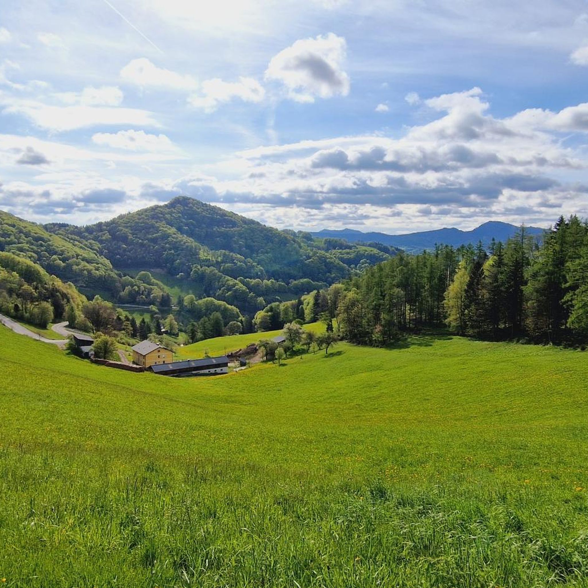
- The most popular mountain peaks is Kaiserkogel and Kaiserkogel Hut, a hut that offers a great view of the Mostviertel from the top. Cabin operation is from Thursday to Monday.
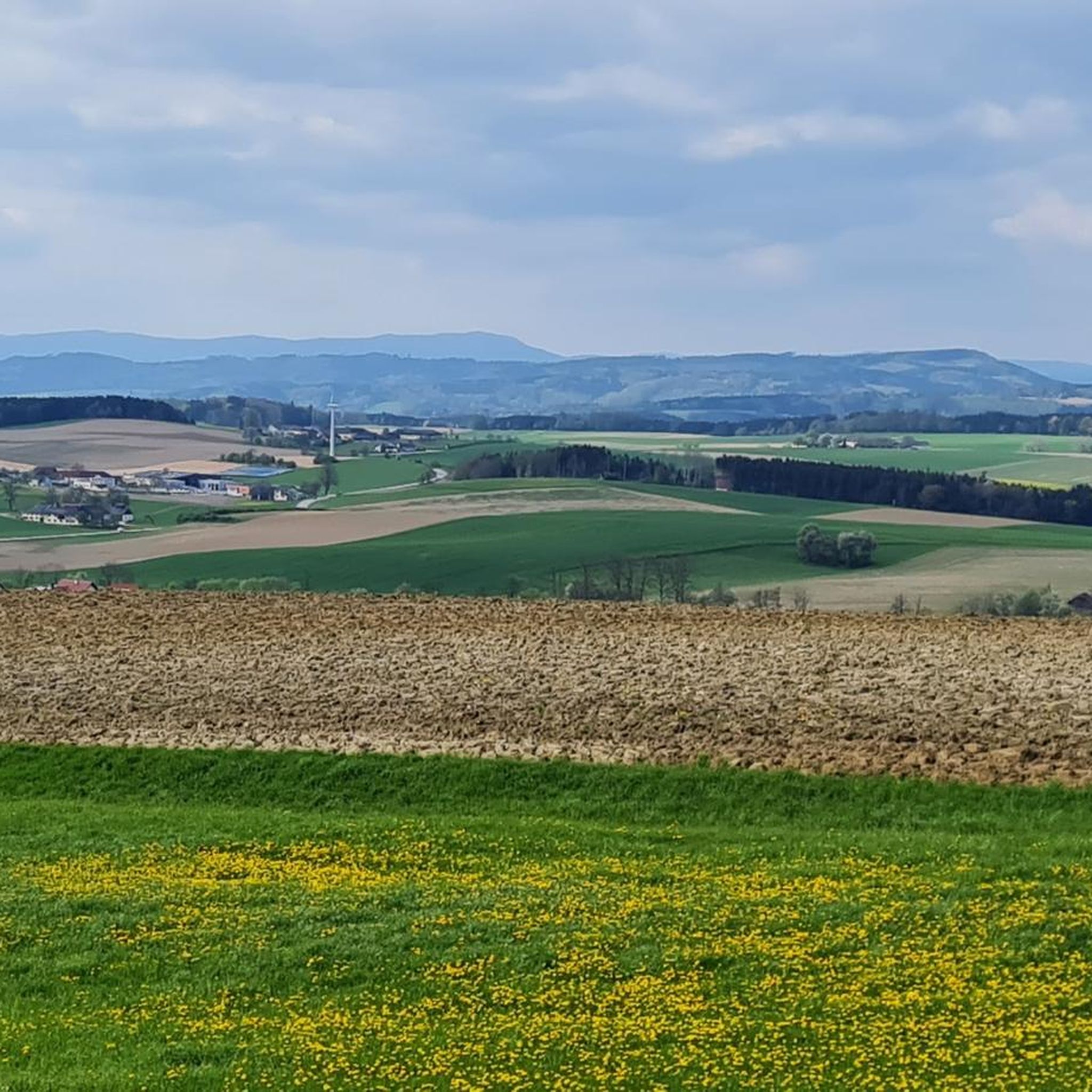
- Another must-see spot is Hamesberg with summit cross, a summit with a summit book at 451 m. The view is really nice, and a shady place with table and benches offers a short break.
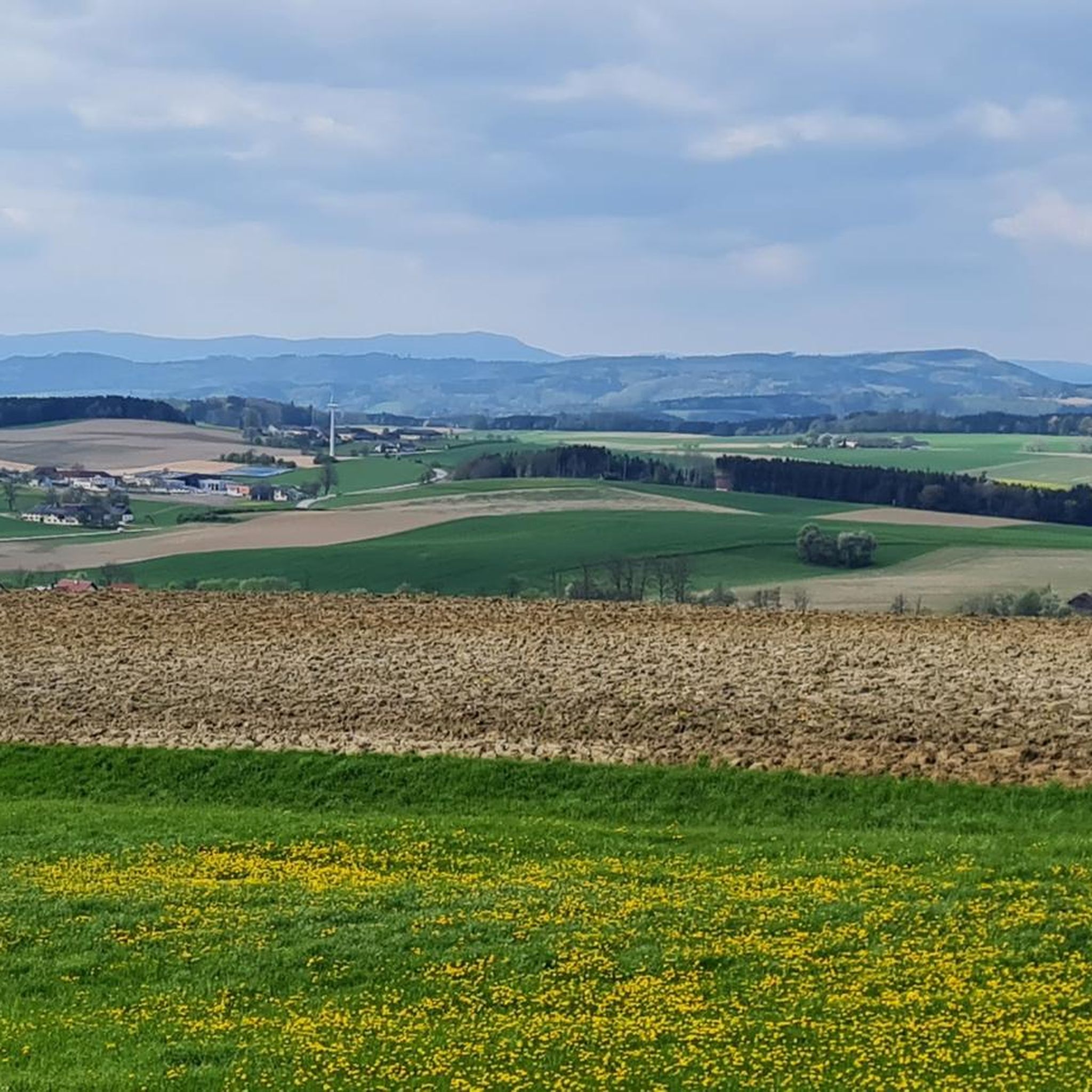
- Visitors also love Summit cross on Restenbauer Höhe, a summit. The summit cross stands on a ridge between 2 wooded areas, offering a beautiful view of the countryside. The cross itself is beautiful, and a rest area provides a good spot to sign the banker's book.
- Kilb is known for summit crosses, scenic viewpoints, and mountain huts. These offer a variety of experiences, from gentle climbs to rewarding panoramic views.
- The mountain peaks around Kilb are appreciated by the komoot community, with over 210 upvotes and more than 170 photos shared.
Last updated: September 27, 2026
Kaiserkogel and Kaiserkogel Hut
Highlight • Mountain Hut
Translated by Google •
Tip by

Summit cross on Restenbauer Höhe
Highlight • Summit
Translated by Google •
Tip by

Sign up now to discover places like this
Get recommendations on the best single tracks, peaks, & plenty of other exciting outdoor places.
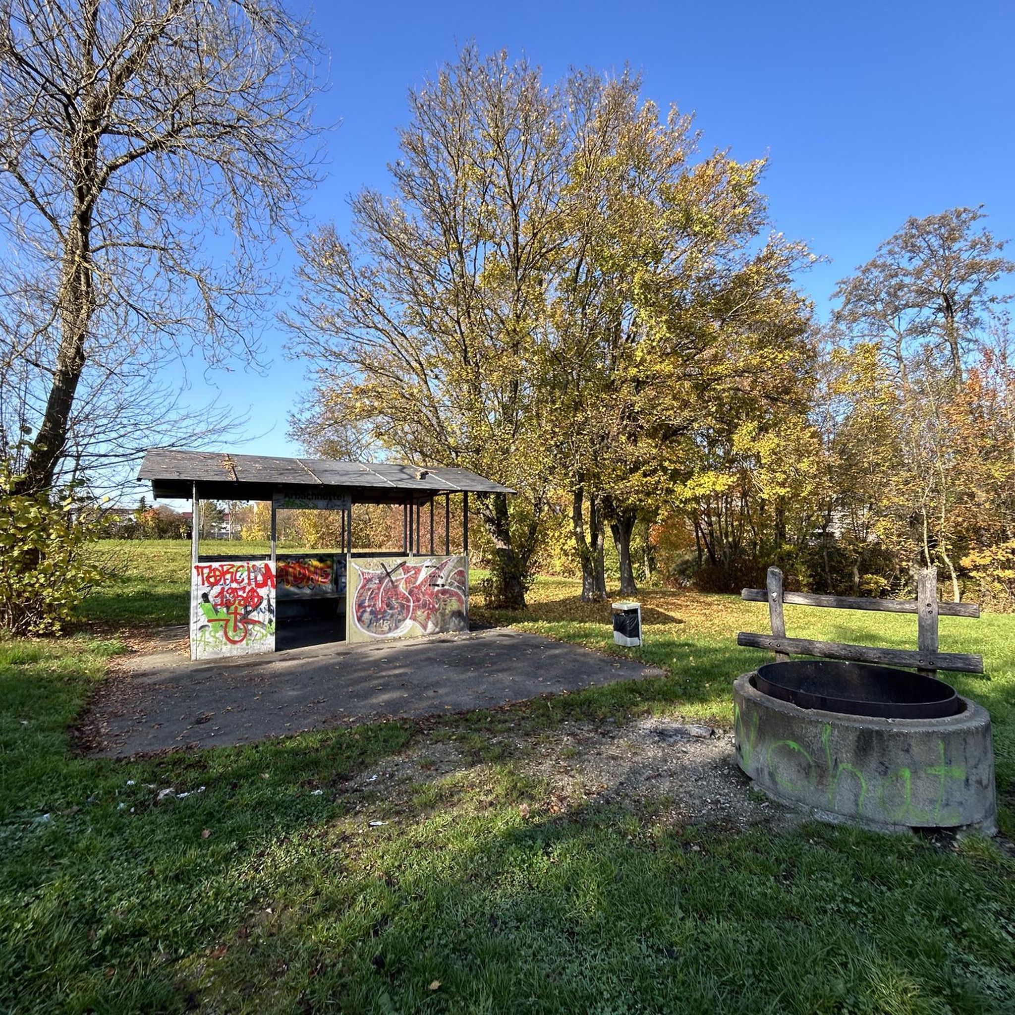
Summit bench
Highlight • Viewpoint
That's how you arrive relaxed at the Kaiserkogel and can look at the menu in peace ... 😉
Translated by Google •
Tip by

Hamesberg with summit cross
Highlight • Summit
But the view is really nice and a little to the side at the end of the forest there is a shady place with table and benches, where you can take a short break.
Translated by Google •
Tip by

Jahn Memorial
Highlight • Monument
Translated by Google •
Tip by

Sign up for free to discover even more peaks around Kilb.
Already have an account?
Start today with a free account
Your next adventure awaits.
Tips from the Community

From Gerhard Hager, then head of local history research for Hofstetten-Grünau, it was said on the occasion of its erection: „May the cross stand as a widely visible sign on the highest elevation of the market town of Hofstetten-Grünau. The glass painting invites meditative contemplation and is intended to enable access to a personal encounter with God. The sunlight should express the power of life, the power of nature, all the possibilities given to us. May the cross become a destination for many hikers. Nevertheless, the hill with the cross should remain a place of peace, retreat, and reflection. As head of local history research for Hofstetten-Grünau, I am delighted with the successful work and once again say a heartfelt „Thank you“ to all involved.“
1
0

Great view. Beautiful area.
1
0

The highest point of the Kaiserkogel MTB trail. Here, you can complete the climb under the watchful eye of cows. It's a beautiful spot, no doubt.
3
0

Nice rooms, I can recommend an overnight stay.
5
0
An excellent hut with great views and good food, also recommended for overnight stay.
5
0
After a long climb you will be rewarded with a great view up here.
1
0
An extremely beautiful place up there on Hohenstein.
0
0
A really nice place with a great view, the Römerweg 651 leads over here.
2
0
Frequently Asked Questions
What kind of mountain peaks can I expect to find around Kilb?
The Kilb region is characterized by an idyllic landscape of rolling hills and verdant meadows, offering numerous hiking opportunities. Instead of traditional high-altitude mountain peaks, you'll find scenic trails and elevations that cater to enjoyable walks and moderate climbs. The area is ideal for recreational outdoor activities within a serene, hilly environment.
Which are the most popular elevated spots or summits to visit near Kilb?
Among the most popular spots are Kaiserkogel and Kaiserkogel Hut, which offers a great view of the Mostviertel. Another highly regarded location is Hamesberg with summit cross, featuring a summit book at 451 meters and a lovely view with a shady rest area. Visitors also appreciate the Summit cross on Restenbauer Höhe, known for its beautiful views of the countryside and a good spot to sign the banker's book.
Are there any easy hikes suitable for beginners or families around Kilb?
Yes, Kilb is known for its accessible trails that cater to various difficulty levels. For easy hikes, you can explore routes like the "Parish Church of Kilb loop from Kilb" or the "Grünbühel Castle – Parish Church of Kilb loop from Kilb." These are part of the broader selection of easy hikes around Kilb, perfect for a gentle stroll through the scenic landscape.
What other outdoor activities can I do near the elevated areas of Kilb?
Beyond hiking, the region around Kilb offers diverse outdoor activities. You can find several running trails around Kilb, including moderate to difficult loops like the "Schloss Grünbühel loop from Kilb." For cyclists, there are gravel biking routes around Kilb, such as the "Ebersdorfer Lake – Pielach River Cycle Path loop from Ober-Grafendorf," offering varied terrain for different skill levels.
Where can I find a hut or a place to eat near the trails?
The Kaiserkogel and Kaiserkogel Hut is a popular spot. It offers not only a great view but also a pretty hut with a garden where you can enjoy refreshments. The hut typically operates from Thursday to Monday, so plan your visit accordingly.
Are there any viewpoints offering panoramic scenery?
Absolutely. Many of the elevated spots around Kilb provide stunning views. For instance, the Kaiserkogel offers a beautiful panorama of the Mostviertel. The Summit cross on Restenbauer Höhe also provides a lovely view of the countryside from its ridge. Additionally, the Summit bench, located at the highest point of the Kaiserkogel MTB trail, is a great spot to take a breather and enjoy the top panorama.
What is the highest point in the Kilb municipality?
The highest elevation within the municipality of Kilb is the Plambachecker Höhe, reaching 623 meters above sea level. While not a traditional peak, it offers a significant climb within the region's hilly landscape.
What do visitors enjoy most about the elevated trails around Kilb?
Visitors particularly enjoy the stunning landscapes and the accessible nature of the trails, which cater to various fitness levels. The presence of summit crosses, like at Hamesberg and Restenbauer Höhe, often includes summit books and rest areas, providing a rewarding experience and a chance to pause and enjoy the views. The serene, hilly environment of Lower Austria is a major draw for those seeking recreational outdoor activities.
Can I find any unique or 'hidden gem' spots among the elevated areas?
While not a hidden gem in the traditional sense, the Grohmann Summit Cross offers a nice view to the south and is easily accessible in about 45 minutes from the Eibeck Alm, providing a peaceful and less crowded experience.
Are there any trails that are part of longer-distance routes?
Yes, some of the broader region's trails connect to longer-distance routes. For example, the Römerweg 651 passes over Hamesberg with summit cross. In the wider vicinity, routes like the "Voralpenweg" pass through the Türnitzer Alps, connecting areas like Kaiserkogel hut and Plankenstein, offering options for more extended hikes.
What is the best time of year to hike the elevated trails around Kilb?
The region's rolling hills and meadows are beautiful throughout the warmer months, making spring, summer, and early autumn ideal for hiking. During these seasons, you can fully appreciate the verdant landscapes and enjoy comfortable temperatures for your walks and moderate climbs.
Most popular routes around Kilb
Most popular attractions around Kilb

Get inspired with the komoot mobile app


Explore more
See even more amazing summits around Kilb with these guides:
