The best gravel rides around Trattenbach
5.0
(3)
43
riders
6
rides
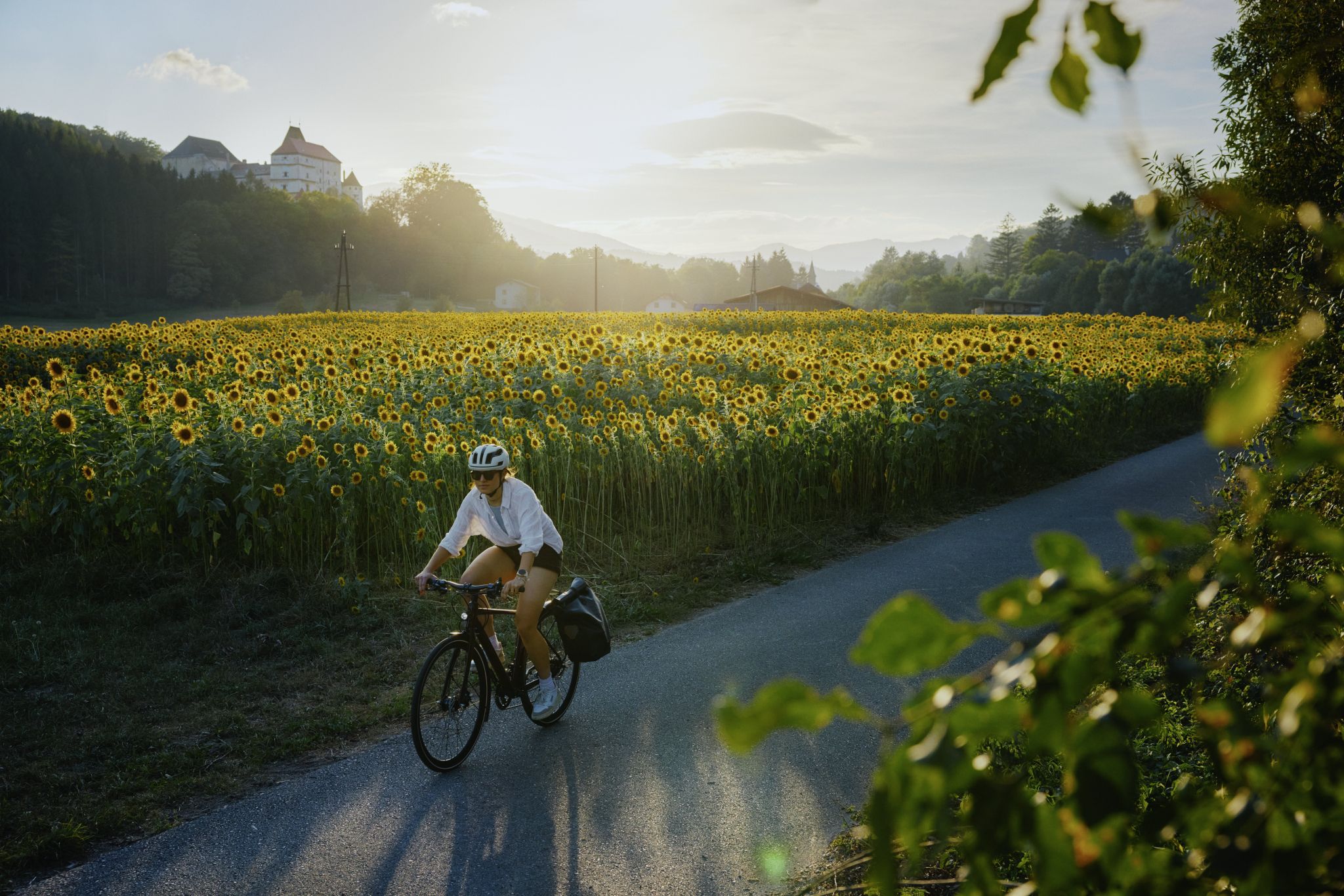
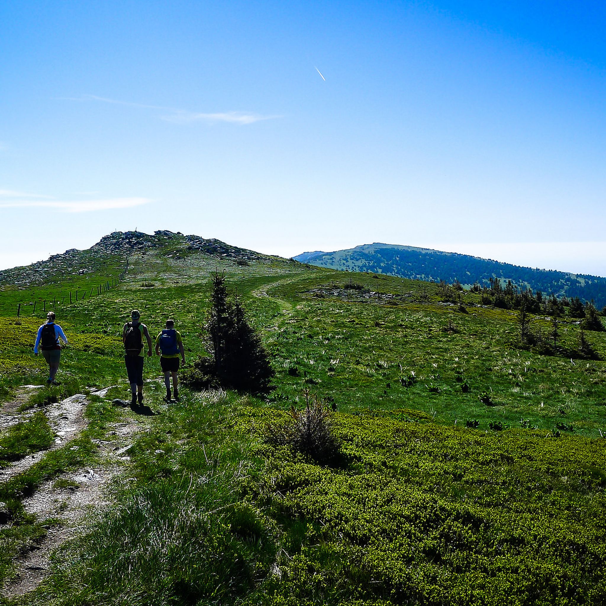
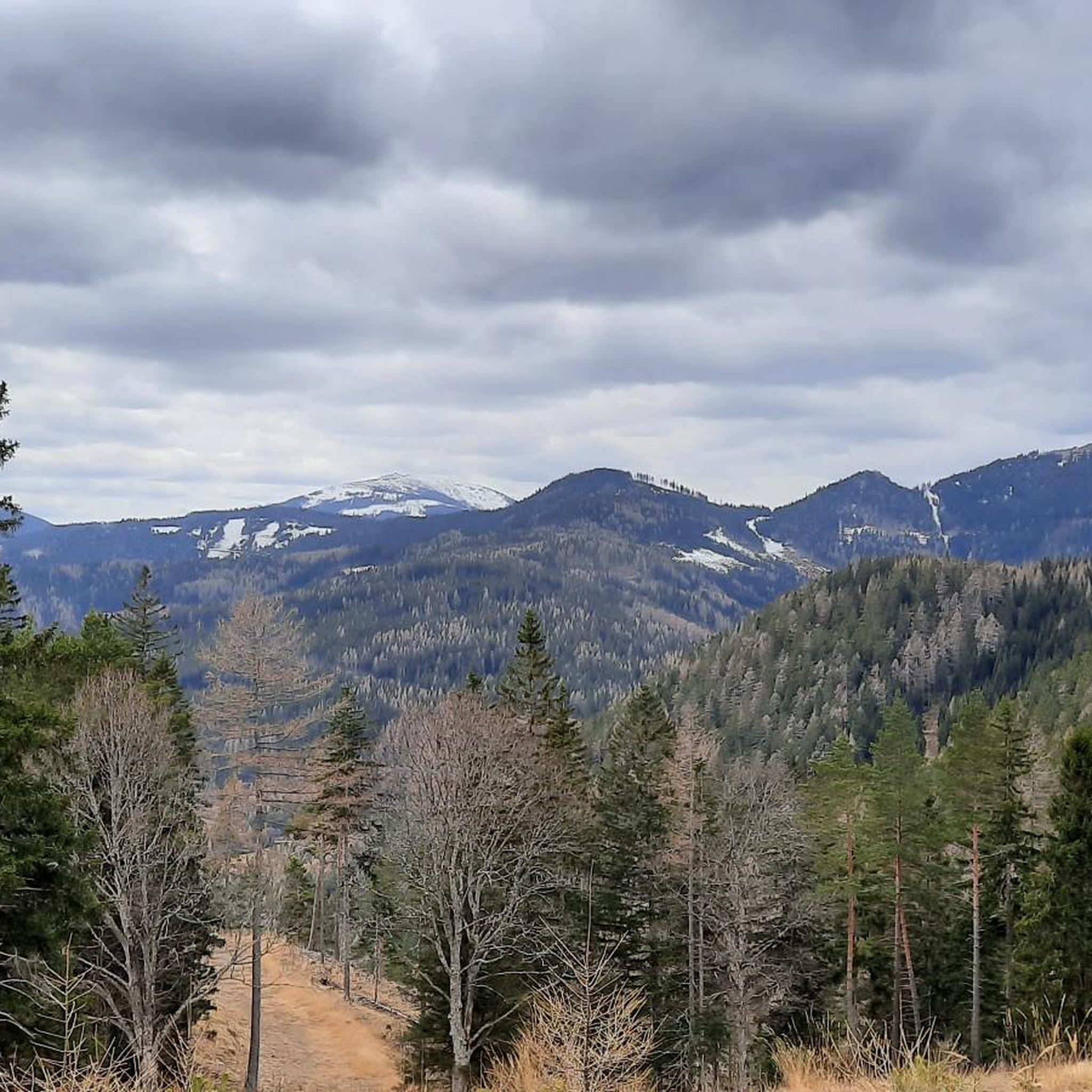
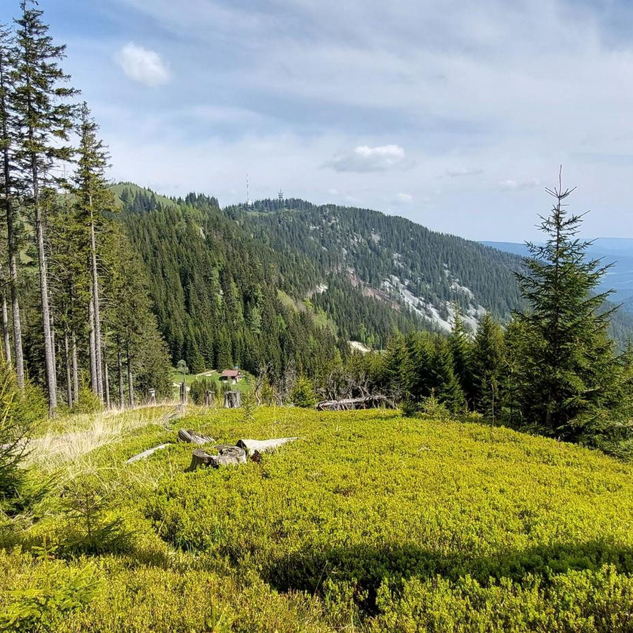
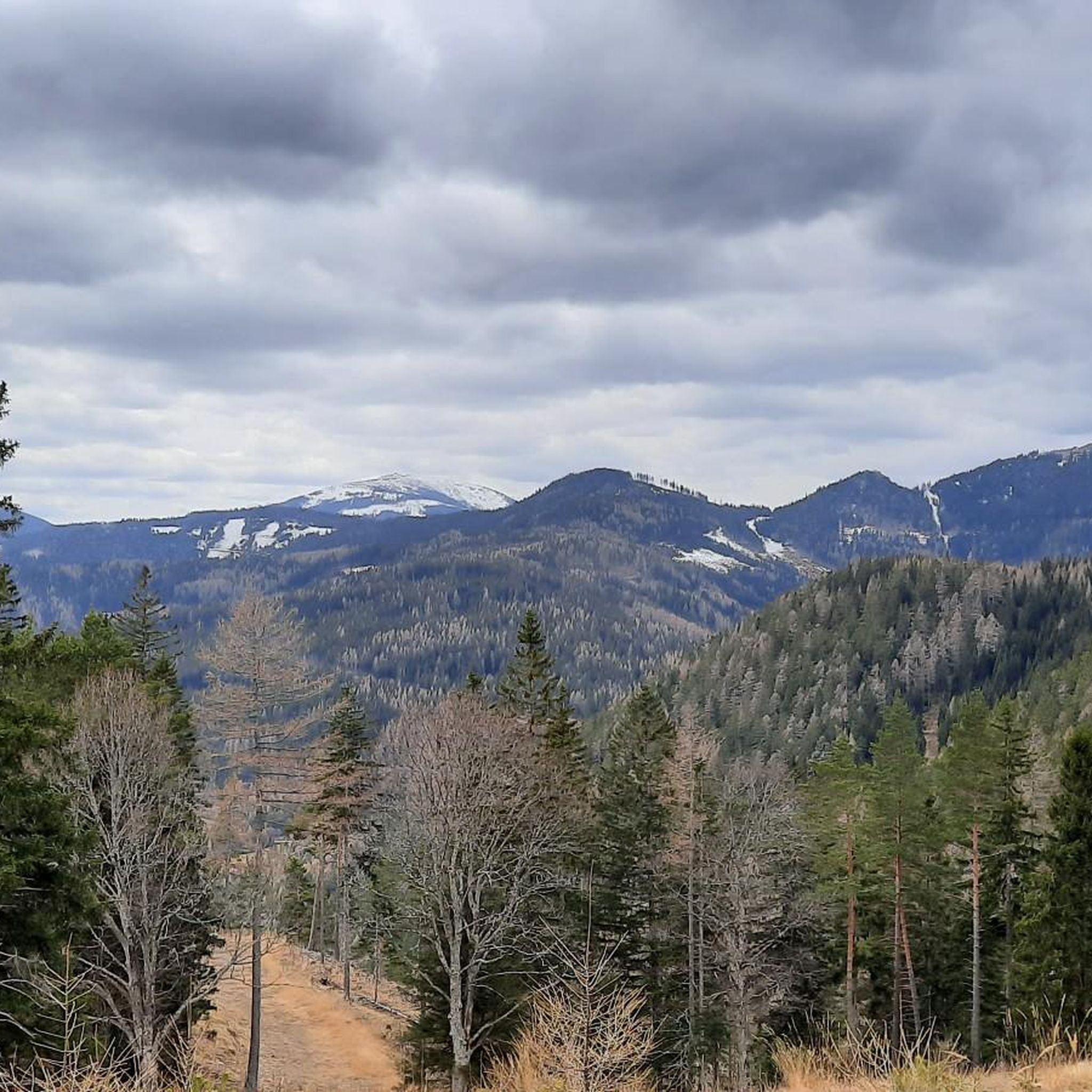
Gravel biking around Trattenbach offers diverse landscapes at the foot of the Wechsel and Otter mountains, providing varied terrain for cyclists. The region features extensive forests and unpaved roads, ideal for off-road exploration. Elevated points offer panoramic views of the Semmering region, including the Rax, Schneeberg, and Styrian mountains. This environment supports a range of gravel biking experiences, from challenging climbs to scenic routes through nature.
Best gravel bike trails around Trattenbach
- The most popular gravel bike trail is Kalte Rinne Viaduct – Südbahnhotel Semmering loop from Eichberg, a 34.6 miles (55.7 km) difficult trail that takes about 5 hours 33 minutes to complete, featuring significant elevation gain through mountainous terrain.
- Another top favourite among local gravel bikers is Kalte Rinne Viaduct – Kalte Rinne Viaduct loop from Semmering, a difficult 14.0 miles (22.5 km) path. This route offers a scenic loop around the historic viaduct, traversing varied forest and gravel sections.
- Local gravel bikers also love the Speckbacher Hut on Kreuzberg – St James' Church, Payerbach loop from Schlöglmühl, a 19.4 miles (31.3 km) trail leading through forested hills and past local landmarks, often completed in about 2 hours 14 minutes.
- Gravel biking around Trattenbach is defined by mountainous terrain, extensive forests, and panoramic views from elevated points. The network offers options for different ability levels, including both moderate and difficult routes.
- The routes in Trattenbach are highly rated by the komoot community with an average score of 5.0 stars from 3 reviews. More than 50 gravel bikers have used komoot to explore Trattenbach's varied terrain.
Last updated: May 27, 2026
5.0
(1)
12
riders
54.0km
04:27
1,560m
1,560m
Hard gravel ride. Very good fitness required. Mostly paved surfaces. Suitable for all skill levels.
6
riders
22.5km
02:01
680m
680m
Hard gravel ride. Very good fitness required. Mostly paved surfaces. Suitable for all skill levels.

Sign up for free
5.0
(2)
10
riders
Hard gravel ride. Very good fitness required. Mostly paved surfaces. Suitable for all skill levels.
13
riders
51.5km
03:37
1,110m
1,110m
Hard gravel ride. Very good fitness required. Mostly paved surfaces. Suitable for all skill levels.
1
riders
48.4km
04:19
1,590m
1,590m
Hard gravel ride. Very good fitness required. Mostly paved surfaces. Suitable for all skill levels.
Our route recommendations are based on thousands of hikes, rides, and runs completed by other people on komoot.
Start today with a free account
Your next adventure awaits.
Login or Signup
Other adventures around Trattenbach

Tips from the Community

From the Payerbach-Reichenau station, the first major structure of the Semmering Railway can already be made out. With a length of 227.6 meters and a height of 24.7 meters, the viaduct forms the longest structure of its kind on the Semmering line.
0
0

From Mürzzuschlag-Neuberg along the old railway line
0
0

Large parking lot, subject to charge (€ 5,- as of end of April 2026)
0
0

Beautiful cycle path next to the Mürz
3
0

Röststation e.U. - currently permanently closed!
1
0

Incredible views of the entire surrounding mountain landscape! Rax, Schneealpe, Veitsch, Hochschwab massif
0
0

The Speckbacher Hütte is a cozy stop, perfect for a break on your hike. Here you can relax, have a drink, and enjoy the mountain air before continuing. It's especially pleasant to sit on the terrace and take in the surrounding views.
4
0
The Schwarza Viaduct is an imposing structure and a great photo opportunity along the route. Its high arches are particularly impressive when you walk underneath or alongside it. A short stop is worthwhile to take in its dimensions and its location above the Schwarza River.
3
0
Frequently Asked Questions
How many gravel bike trails are available in Trattenbach?
Trattenbach offers a selection of 9 gravel bike trails, providing diverse options for exploring the region's mountainous terrain and forests.
What is the typical difficulty level of gravel bike trails in Trattenbach?
The gravel bike trails in Trattenbach are predominantly challenging, with 8 out of 9 routes rated as difficult. There is also 1 moderate route available, but no easy routes, indicating the area is best suited for experienced gravel bikers.
What kind of terrain can I expect on gravel bike routes around Trattenbach?
You can expect a varied landscape, primarily characterized by mountainous terrain at the foot of the Wechsel and Otter mountains. Routes often traverse extensive forests and unpaved roads, offering a true off-road experience. Elevated points provide spectacular panoramic views of the Semmering region, including the Rax, Schneeberg, and Styrian mountains.
Are there any circular gravel bike routes in Trattenbach?
Yes, several routes are designed as loops. For example, you can explore the Kalte Rinne Viaduct – Südbahnhotel Semmering loop from Eichberg, or the Kalte Rinne Viaduct – Kalte Rinne Viaduct loop from Semmering, which offers a scenic ride around the historic viaduct.
What are some notable landmarks or attractions I might see along the gravel trails?
While riding, you'll encounter stunning panoramic views from elevated points, including vistas towards Rax, Schneeberg, and Hochwechsel. The region is also home to unique natural features like a moorland natural monument. For specific points of interest, you might consider exploring nearby highlights such as the Luckerte Wand Rock Formation and Viewpoint or the historic Falkenstein Cave.
Is Trattenbach suitable for family-friendly gravel biking?
Given that most routes in Trattenbach are rated as difficult, the area is generally more suited for experienced gravel bikers. There are no easy routes specifically designed for families with young children, but adventurous families with older, experienced riders might find the moderate options enjoyable.
Can I bring my dog on the gravel bike trails in Trattenbach?
Many of the forest and unpaved roads in Trattenbach are suitable for dogs, especially if they are well-behaved and accustomed to longer rides. Always ensure your dog is on a leash where required and be mindful of wildlife. It's advisable to check local regulations for specific trails.
What is the best time of year for gravel biking in Trattenbach?
The region's extensive forests and clean air make for pleasant riding conditions, especially during spring, summer, and autumn. Winter conditions can be challenging due to snow and ice in the mountainous terrain, so it's generally best to visit during the warmer months for optimal gravel biking.
Are there places to eat or stay near the gravel bike trails in Trattenbach?
Yes, Trattenbach offers amenities for cyclists. You can find cafes, pubs, and restaurants in the area. Some establishments, like the Hubertushof, are known to be bike-friendly. It's always a good idea to check opening hours, especially in smaller villages.
Where can I park my car when going gravel biking in Trattenbach?
Trattenbach has a 'Radstartplatz' (bike starting point), suggesting dedicated facilities for cyclists. Additionally, parking might be available near the train station or other central points in the village, providing convenient access to the trail network.
Can I reach Trattenbach by public transport with my gravel bike?
Public transport options, particularly trains, can often accommodate bicycles, allowing you to reach Trattenbach and access the trails. It's recommended to check the specific train schedules and bike transport policies of Austrian Federal Railways (ÖBB) or local transport providers in advance.
What do other gravel bikers enjoy most about Trattenbach?
The area is highly rated by the komoot community, with an average score of 5.0 stars from 3 reviews. Riders often praise the diverse landscapes, the challenging mountainous terrain, and the extensive network of unpaved roads that offer a true adventure away from paved surfaces.
Most popular routes around Trattenbach
Most popular attractions around Trattenbach

Get inspired with the komoot mobile app


Explore more
Browse the best Gravel rides in other regions.
