The best road cycling routes in Rocks State Park Falling Branch Area
5.0
(1)
13
riders
5
rides
Road cycling in Rocks State Park Falling Branch Area offers diverse routes through northern Harford County, Maryland. The region is characterized by rocky forest land, expansive farmland, and woodlands, providing varied terrain for cyclists. Routes often feature well-paved surfaces, though some segments may be unpaved and present a greater challenge. The area includes significant elevation changes, with many routes incorporating climbs and descents.
Best road cycling routes in Rocks State Park Falling Branch Area
- The most popular road cycling route…
Last updated: October 5, 2026
4
riders
42.3km
02:17
530m
530m
Moderate road ride. Good fitness required. Some segments of this route may be unpaved and difficult to ride.
3
riders
53.2km
02:40
640m
640m
Moderate road ride. Good fitness required. Mostly well-paved surfaces and easy to ride.

2
riders
31.2km
01:23
280m
280m
Easy road ride. Great for any fitness level. Mostly well-paved surfaces and easy to ride.
5.0
(1)
2
riders
97.9km
04:50
1,320m
1,320m
Hard road ride. Very good fitness required. Some segments of this route may be unpaved and difficult to ride.
2
riders
111km
05:56
1,410m
1,410m
Hard road ride. Very good fitness required. Some segments of this route may be unpaved and difficult to ride.
Our route recommendations are based on thousands of hikes, rides, and runs completed by other people on komoot.
Start today with a free account
Your next adventure awaits.
Popular around Rocks State Park Falling Branch Area
Tips from the Community

the big picnic area has restrooms and water-fountains. most likely only on during summer.
0
0

This 297-meter section of Bottom Road is compacted dirt, however it's really well maintained and smooth. Just use caution on really rainy days.
0
0
The Falling Branch area of Rocks State Park is about five miles north of the main park on a separate 67-acre parcel. It features the 17-foot high Kilgore Falls, Maryland's second-highest waterfall. While biking isn't prohibited, the terrain can be challenging. It's recommended to secure your bike at the parking lot and hike to the falls for the best experience.
0
0
Rocks State Park spans 855 acres in northern Harford County, offering rocky forest landscapes. Highlights include the King and Queen Seat, a natural rock outcrop, and Kilgore Falls, Maryland’s second-highest vertical waterfall. The park features three picnic areas and 3.5 miles of hiking trails, with Deer Creek providing opportunities for fishing, wading, and tubing. While biking isn't allowed on the trails, the park's picnic spots make it a pleasant rest area for bikers.
0
0

The iconic bridge here is beautiful and open to views of Little Gunpowder Falls. The bridge is narrow and you share the road with the cars while you cross.
0
0

Surrounded by nature, far from the urban chaos: an oasis of peace and quiet!
0
0
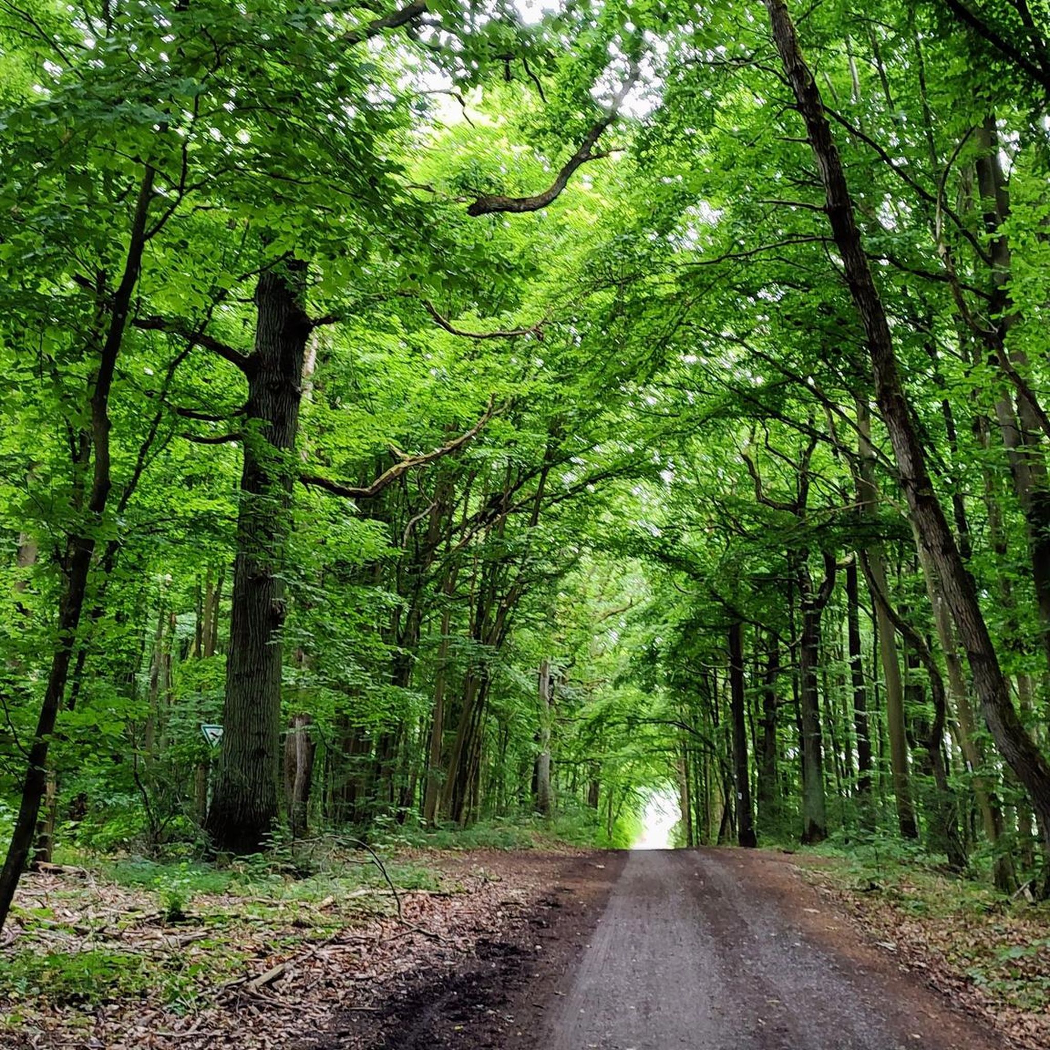
Susquehanna Ridge Trail runs through dense forest, alongside the river and into the heart of the Nature Park.
0
0
Frequently Asked Questions
How many road cycling routes are available in the Rocks State Park Falling Branch Area?
There are 10 road cycling routes documented in the Rocks State Park Falling Branch Area, offering a variety of experiences for cyclists.
What kind of terrain can I expect on road cycling routes in this area?
The terrain in the Rocks State Park Falling Branch Area is characterized by rocky forest land, expansive farmland, and woodlands. While many routes feature well-paved surfaces, some segments might be unpaved and more challenging, requiring good fitness. Expect significant elevation changes, with routes incorporating both climbs and descents.
Are there any challenging road cycling routes for experienced riders?
Yes, for experienced riders seeking a challenge, there are 3 difficult-rated road cycling routes in the area. These routes feature significant elevation gains and longer distances, such as the Rock State Park loop from Vale Road Park, which covers over 70 km with substantial climbing.
What natural features or landmarks can I see while road cycling in the Rocks State Park Falling Branch Area?
While road cycling, you'll experience scenic views of farmland, woodlands, and charming small towns. The region's primary natural draw, Kilgore Falls, Maryland's second-highest vertical drop waterfall, is located within the Falling Branch Area. While the falls are accessed via a hiking trail, the surrounding roads offer an adventurous ride through the rugged beauty of northern Harford County.
Is parking available for road cyclists, especially near Kilgore Falls?
Parking is available in the area. However, specifically at the Kilgore Falls area, parking is limited to a 28-car lot. During peak times, such as weekends and holidays between May and Labor Day, reservations are required to manage crowding and protect the sensitive habitat. It's advisable to check local regulations before your visit.
Are there any loop routes for road cycling in the Rocks State Park Falling Branch Area?
Yes, many routes in the area are designed as loops, allowing you to start and finish at the same point. Examples include the Roadbike loop from Pylesville and the Norrisville to Falling Branch loop via Ady Road, which offer varied distances and elevations.
What is the best time of year to go road cycling in this region?
The region offers enjoyable cycling conditions throughout much of the year. Spring and fall typically provide pleasant temperatures and vibrant scenery. Summer can be warm, but early mornings are often ideal. Be aware that parking reservations may be required at Kilgore Falls during weekends and holidays from May to Labor Day.
Are there any family-friendly road cycling options in the Rocks State Park Falling Branch Area?
While the area features moderate to difficult routes with significant elevation changes, some routes might be suitable for families with older, more experienced children. It's recommended to review the route profiles, distances, and elevation gains on komoot to determine suitability for your family's fitness level. There are no specifically easy-rated routes.
What is the typical length and duration of road cycling routes here?
Road cycling routes in the Rocks State Park Falling Branch Area vary in length and duration. For example, the Roadbike loop from Pylesville is about 41.5 km (25.8 miles) and takes around 2 hours 8 minutes, while the Rock State Park loop from Jarrettsville is approximately 55.6 km (34.5 miles) and takes about 2 hours 50 minutes.
What do other road cyclists enjoy most about road cycling in Rocks State Park Falling Branch Area?
Road cyclists often praise the diverse landscape, which includes rocky forest land, expansive farmland, and woodlands. The varied terrain, with its climbs and descents, provides a rewarding experience. Many appreciate the well-paved surfaces and the opportunity to explore the rugged beauty of northern Harford County on two wheels.
Are there any cafes or pubs near the road cycling routes for a break?
While the immediate Falling Branch Area is more focused on natural features, the surrounding small towns and communities along the routes, such as Pylesville, Jarrettsville, and Norrisville, may offer options for cafes or pubs where you can take a break and refuel during your ride.
Most popular routes in Rocks State Park Falling Branch Area

Get inspired with the komoot mobile app


Explore more
Browse the best Road cycling routes in other regions.
