The best mountain hikes in Geleenbeekdal
4.9
(5)
8
hikers
7
hikes
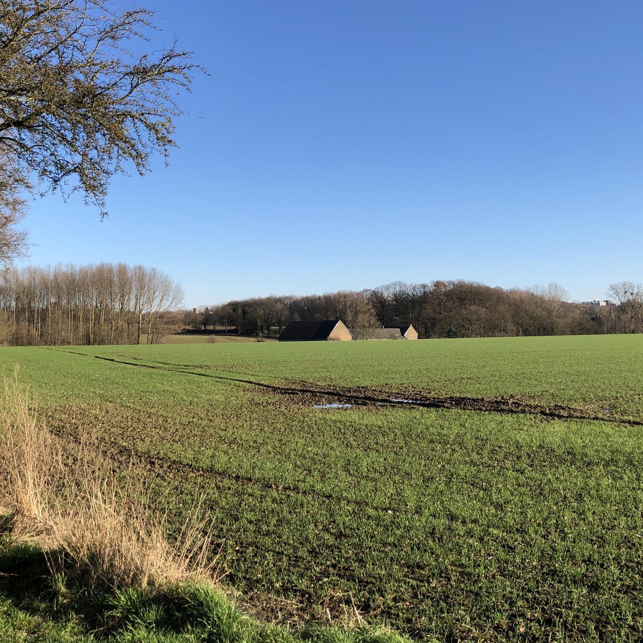
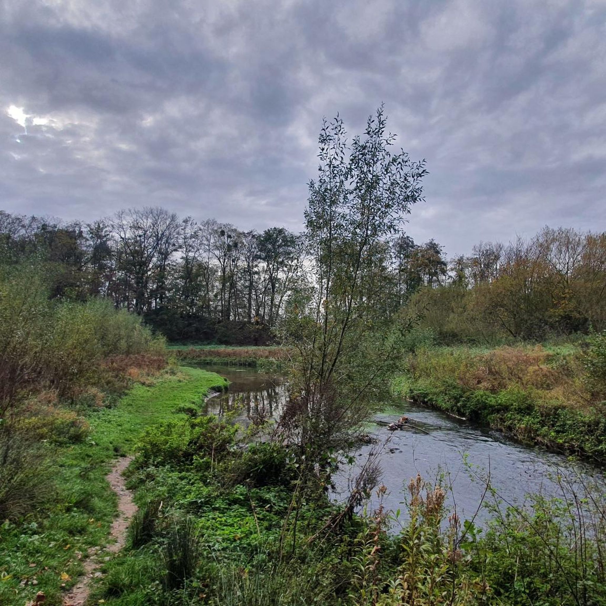
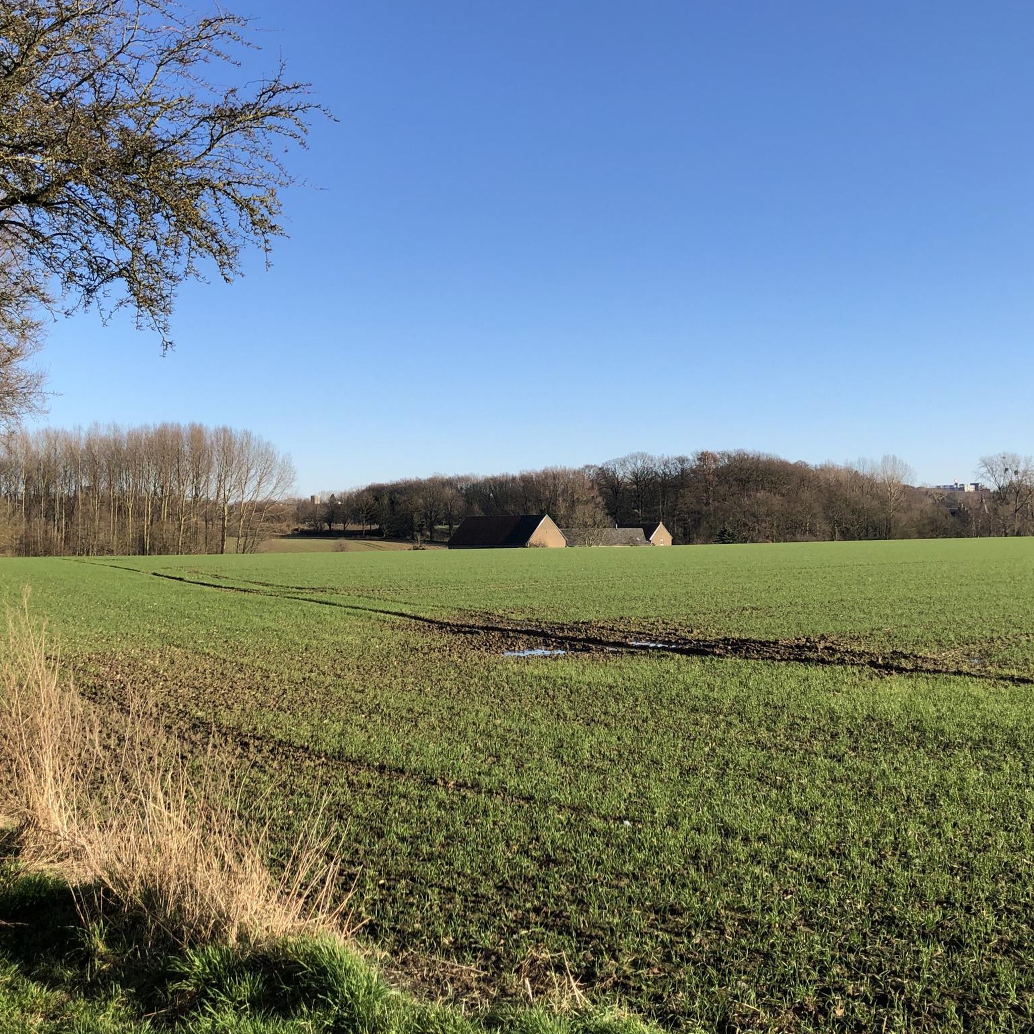
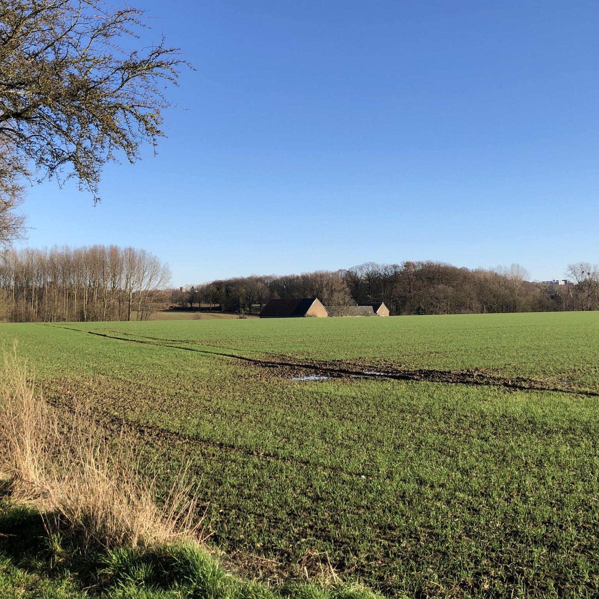
Mountaineering routes in Geleenbeekdal navigate a landscape characterized by the Geleenbeek river valley and its surrounding rolling hills. The region features varied terrain, including forested sections, open fields, and gentle climbs such as the Slakweg and Keutenberg. These routes often follow river paths and ascend to viewpoints, providing diverse experiences for mountaineers. The area's geology contributes to its distinct character, offering a mix of natural and cultural points of interest.
Best mountaineering routes in Geleenbeekdal
- The most popular mountaineering route…
Last updated: July 5, 2026
5.0
(1)
1
hikers
7.63km
02:01
80m
80m
Moderate mountaineering route. Good fitness required. Easily-accessible paths. Suitable for all skill levels.
Easy mountaineering route. Great for any fitness level. Easily-accessible paths. Suitable for all skill levels.

Sign up for free
1
hikers
9.94km
02:40
120m
120m
Moderate mountaineering route. Good fitness required. Easily-accessible paths. Suitable for all skill levels.
4.7
(3)
2
hikers
10.4km
02:52
170m
170m
Moderate mountaineering route. Good fitness required. Easily-accessible paths. Suitable for all skill levels.
1
hikers
20.1km
05:31
320m
320m
Hard mountaineering route. Very good fitness required. Mostly accessible paths. Sure-footedness required.
Get access to more routes and recommendations from other explorers.
Sign up for free
Already have an account?
Our route recommendations are based on thousands of hikes, rides, and runs completed by other people on komoot.
Start today with a free account
Your next adventure awaits.
Login or Signup
Tips from the Community

A steep climb leads up the mountain. The view makes up for it.
1
0


Great city center and at Christmas and all the lights it's really worth it :)
0
0

Deep in the marl hills of Valkenburg lie the famous Neolithic flint mines, one of the oldest industrial sites in the Netherlands. People dug marl here as early as 2800 BC to extract flint, a hard rock used for tools such as arrowheads, knives, and axes. The tunnels extend dozens of meters beneath the hill and offer an impressive glimpse into how our distant ancestors shaped their habitat. The mines are unique and offer insights into the daily life and technological knowledge of the first farmers and hunters in South Limburg. Over the centuries, the tunnels have sometimes been flooded, subsided, or partially collapsed, but the traces of mining are still clearly visible. Today, parts of the flint mines can be visited via guided tours or special routes where you can literally follow in the footsteps of people from 5,000 years ago.
0
0
This bronze statue by Wim Sonneveld depicts him as Frater Venantius, a character from his famous sketches and songs. The artwork stands in a tranquil setting and pays tribute to Sonneveld's contribution to Dutch art and culture. It invites passersby to pause for a moment, reflect, and remember the humor and warmth of Sonneveld's work.
0
0
This statue of Brother Venantius, created by Wim Sonneveld, stands as a tribute to the famous clergyman who played an important role in the region. The artwork invites walkers to pause and admire the statue's expression and details amidst a peaceful green setting.
0
0

Open 365 days a year, from 10:00 a.m. to 9:00 p.m. Very good food, very friendly service despite the busy times.
16
0
A deer park offers beautiful views of deer in a natural setting. It's a great spot for hikers and families to take a break and observe the animals in a peaceful, green setting.
0
0
Frequently Asked Questions
How many mountaineering routes are available in Geleenbeekdal?
Geleenbeekdal offers a selection of 7 mountaineering routes, catering to various skill levels from easy to difficult.
Are there easy mountaineering routes suitable for beginners in Geleenbeekdal?
Yes, Geleenbeekdal has easy mountaineering routes perfect for beginners. One such option is the Wooden Bridge Over the Geul – Keutenberg Climb loop from Schin op Geul, which is 3.4 miles (5.4 km) long and features a scenic wooden bridge.
What are some challenging mountaineering routes in Geleenbeekdal?
For those seeking a challenge, the View of Vaals – Forest Café 't Hijgend Hert loop from Vaals is a difficult route spanning nearly 12.2 miles (19.7 km) with significant elevation gain, offering a rewarding experience.
Are there any circular mountaineering routes in Geleenbeekdal?
Many routes in Geleenbeekdal are circular, allowing you to start and end at the same point. Examples include the Terborgh Castle – Slakweg Climb loop from Geleen and the Maria Monument, Gulperberg – Virgin Mary statue loop from Gulpen-Wittem.
What kind of attractions can I see along the mountaineering routes in Geleenbeekdal?
The routes often pass by interesting landmarks. You might encounter historic sites like Terworm Castle or Wijnandsrade Castle. Some trails also feature unique natural elements such as the Tree-Root Path in the Stammenderbos.
What do other mountaineers enjoy most about Geleenbeekdal?
The komoot community highly rates mountaineering in Geleenbeekdal, with an average score of 4.9 stars. Reviewers often praise the varied terrain, which includes river paths, rolling hills, and forested sections, as well as the well-maintained trails and scenic viewpoints.
Are there mountaineering routes in Geleenbeekdal that pass by cafes or places to eat?
Yes, some routes offer convenient access to cafes. For instance, the challenging View of Vaals – Forest Café 't Hijgend Hert loop from Vaals includes a forest café along its path, perfect for a break.
What is the best time of year for mountaineering in Geleenbeekdal?
Geleenbeekdal's rolling hills and river valleys are enjoyable throughout much of the year. Spring and autumn offer pleasant temperatures and beautiful scenery with blooming flowers or vibrant foliage. Summer is also popular, though some routes may have less shade. Winter can be picturesque, but conditions might require appropriate gear.
Are there family-friendly mountaineering options in Geleenbeekdal?
Absolutely. Many of the easier routes are suitable for families. The Wooden Bridge Over the Geul – Keutenberg Climb loop from Schin op Geul is an easy option that offers engaging scenery without being overly strenuous, making it a good choice for families.
How long do mountaineering routes in Geleenbeekdal typically take to complete?
The duration varies depending on the route's distance and difficulty. Easy routes like the Wooden Bridge Over the Geul – Keutenberg Climb loop from Schin op Geul can take around 1 hour 28 minutes, while moderate routes such as the Trail Along the Geul – Cauberg loop from Valkenburg aan de Geul might take about 2 hours 48 minutes. More difficult routes can extend to over 5 hours.
Are there any routes that feature castles or historic sites?
Yes, several routes incorporate historical elements. The Terborgh Castle – Slakweg Climb loop from Geleen, for example, passes directly by the historic Terborgh Castle, offering a glimpse into the region's past.
What are the typical distances for mountaineering routes in Geleenbeekdal?
Route distances in Geleenbeekdal range from approximately 3.4 miles (5.4 km) for easier trails to nearly 12.2 miles (19.7 km) for more challenging expeditions. This variety allows you to choose a route that matches your desired distance.
Most popular routes in Geleenbeekdal
Most popular attractions in Geleenbeekdal

Get inspired with the komoot mobile app


Explore more
Browse the best Mountain Hikes & Routes in other regions.
