The best walks and hikes around Kleinrinderfeld
4.4
(2849)
16,830
hikers
30
hikes
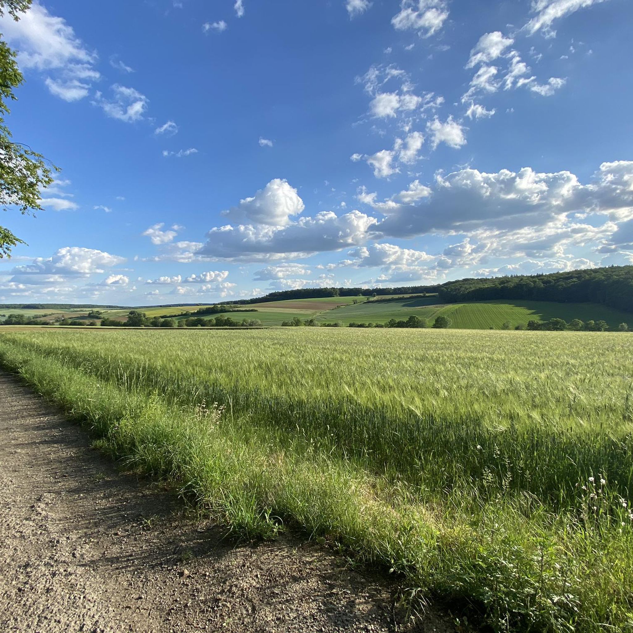
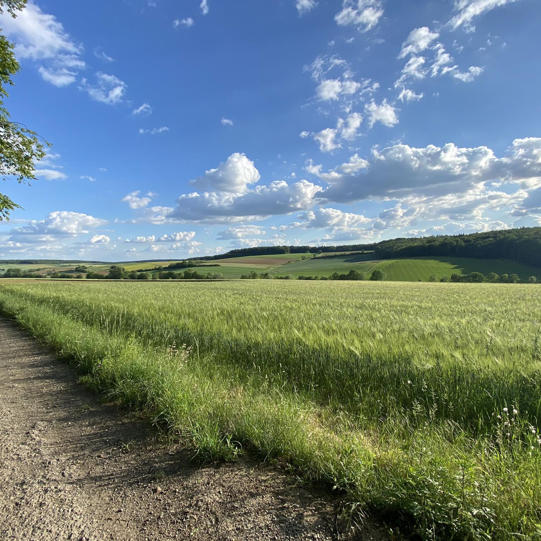
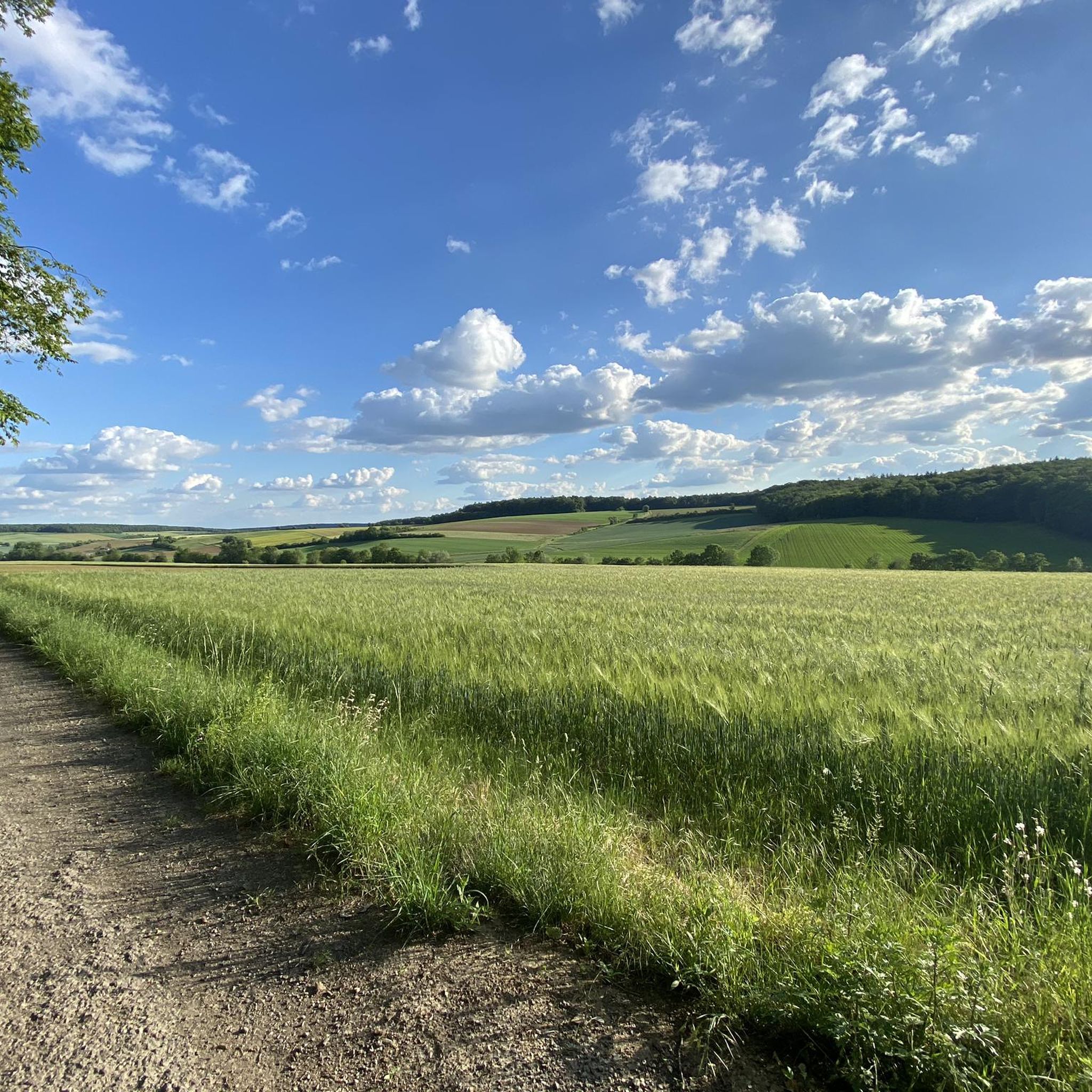
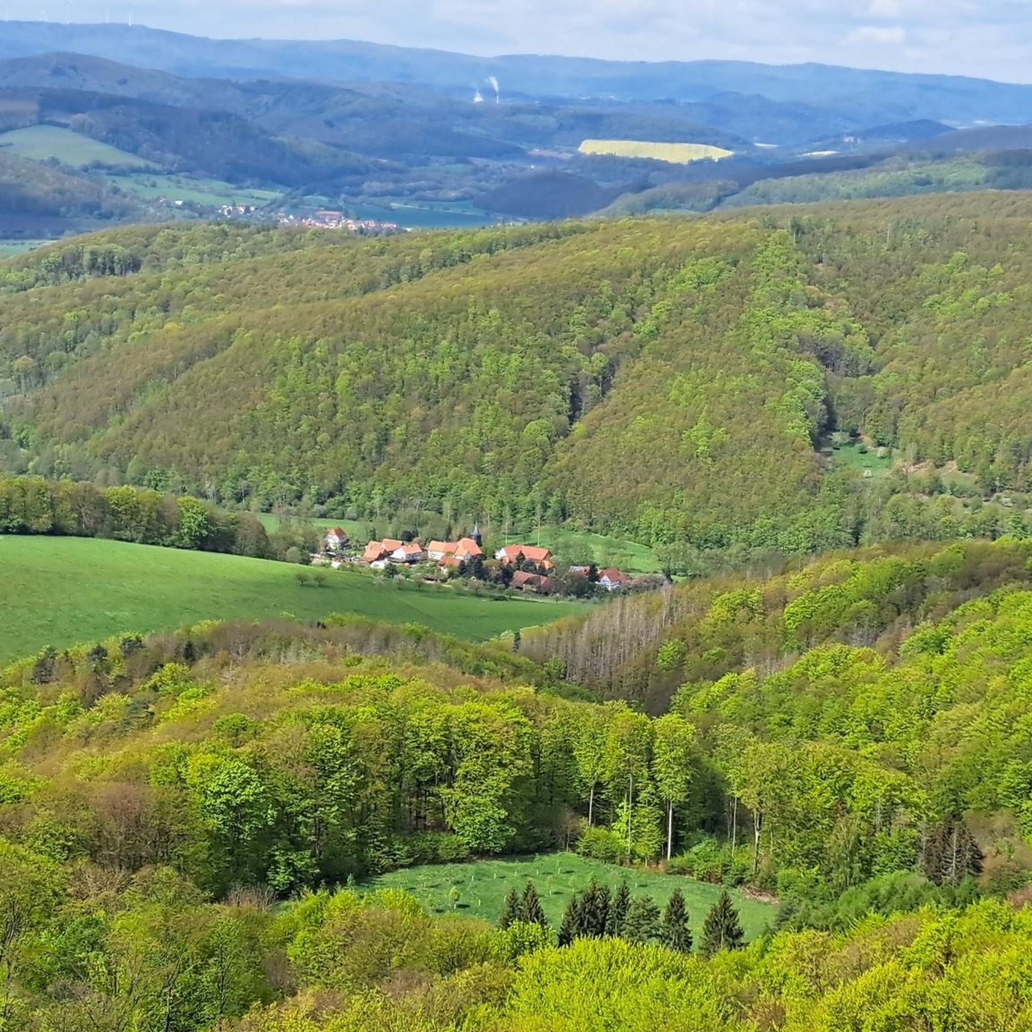
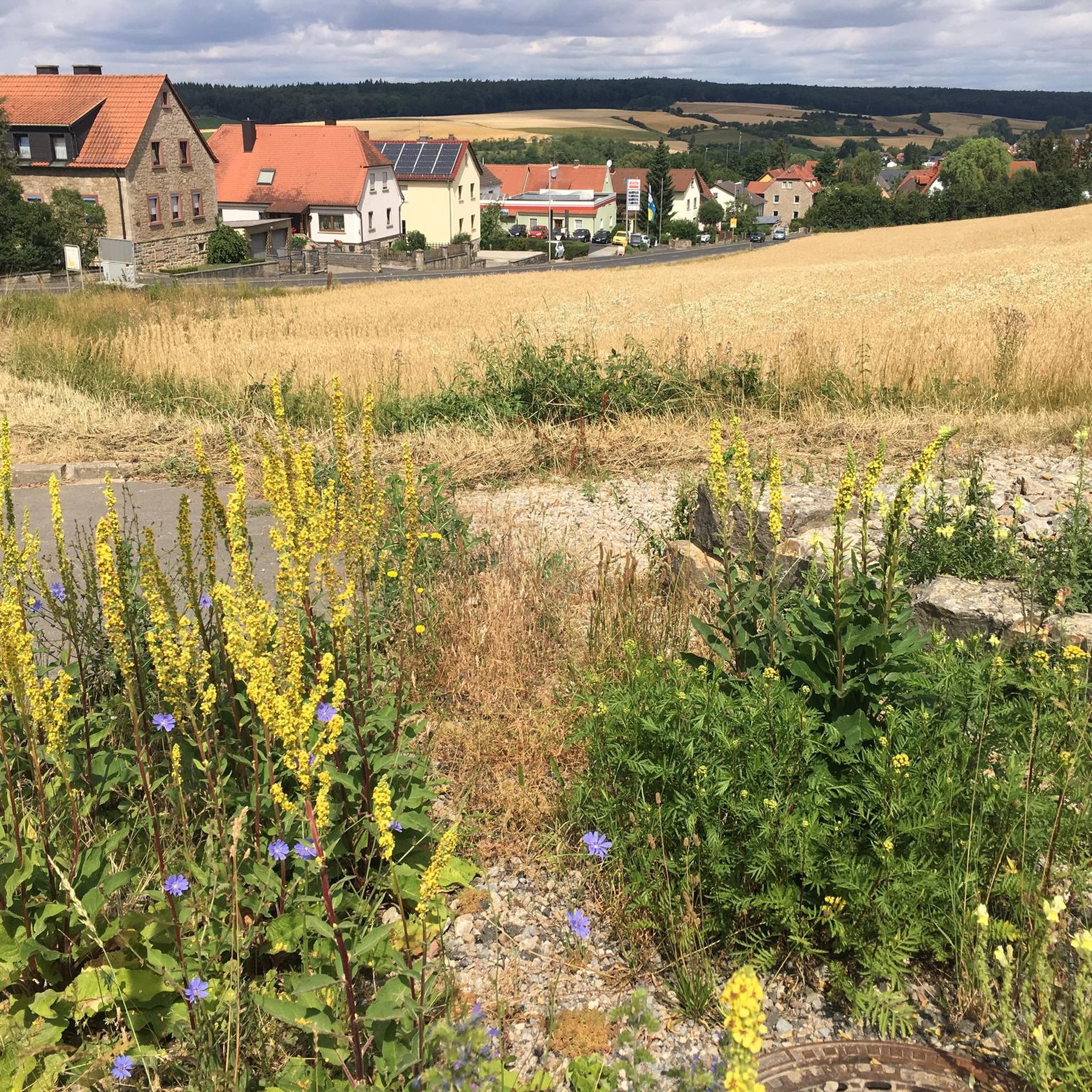
Hiking around Kleinrinderfeld, located in the district of Würzburg, Bavaria, features diverse landscapes shaped by Muschelkalk geology, Lettenkeuper, and Löß soils. The region includes the fertile "Heckengäu" and the shallower-soiled "Strohgäu," offering varied walking experiences. Kleinrinderfeld is situated at the foot of the Steigerwald forest and on the western edge of the Ochsenfurter Gau, providing opportunities for forest hikes and expansive views. The area also includes the Blutsee-Moor Nature Reserve, which offers accessible paths for nature observation.
Best hiking trails…
Last updated: August 11, 2026
5.0
(1)
20
hikers
8.55km
02:19
120m
120m
Moderate hike. Good fitness required. Easily-accessible paths. Suitable for all skill levels.
4.0
(4)
27
hikers
Easy hike. Great for any fitness level. Easily-accessible paths. Suitable for all skill levels.

Sign up for free
5.0
(3)
24
hikers
6.14km
01:37
60m
60m
Easy hike. Great for any fitness level. Easily-accessible paths. Suitable for all skill levels.
5.0
(3)
16
hikers
Easy hike. Great for any fitness level. Easily-accessible paths. Suitable for all skill levels.
4.4
(5)
8
hikers
8.73km
02:20
100m
100m
Moderate hike. Good fitness required. Easily-accessible paths. Suitable for all skill levels.
Get access to more routes and recommendations from other explorers.
Sign up for free
Already have an account?
Our route recommendations are based on thousands of hikes, rides, and runs completed by other people on komoot.
Start today with a free account
Your next adventure awaits.
Login or Signup
Tips from the Community

Blutsee-Moor near Kleinrinderfeld, beautiful there.
0
0

The trail leads through the Irtenberger Wald protected area, past numerous interesting natural features, such as the so-called "Blutsee," a lowland moor. A very beautiful and idyllic setting. On foot, please avoid the Blutsee in the crescent shape. You have to leave the main path 😃. Not suitable for bikes; only possible on foot. Mosquito repellent recommended. There are tree trunks along the trail that you have to climb. Most of them are quite deep. In some places, it's best to walk to the left or right of the trunks.
0
0
The trail leads through the Irtenberger Forest FFH area, past numerous interesting natural areas, such as the so-called "Blutsee," a lowland moor. A very beautiful and idyllic setting. On foot, please avoid the Blutsee in the crescent shape. Not suitable for bicycles; only possible on foot. Mosquito repellent recommended; there are tree trunks along the trail that you have to climb. Most of them are relatively deep.
0
0

One of the most species-rich biotopes! Flora, fauna and fungi
0
0

Duck 🦆: This route could indicate a leisurely or family-friendly hiking trail that is fairly flat and easy to complete, similar to a duck's leisurely pace. Hare 🐇: A trail named "Hare", on the other hand, could be a medium difficulty route that is a little more challenging and requires a certain level of endurance, similar to the fast pace of a hare. Snail 🐌: The name "Snail" could suggest a slow or relaxed hiking trail, ideal for leisurely strolls or for people who prefer to explore at a leisurely pace.
9
0
The chapel near Limbachshof is a charming religious site that invites you to contemplate and reflect. With its picturesque architecture, it offers visitors a place of peace and spirituality.
0
0
The Blutseemoor near Kist is a nature reserve in the Irtenberger Forest, which is part of the fauna-flora-habitat areas (FFH). It is known for its swinging lawn, which is the largest in Lower Franconia and floats on an underground body of water. The name Blutsee comes from a type of algae that sometimes turns the water red. The moor is not allowed to be entered as it is life-threatening.
11
0
If it rains, you can take a break here 🙋♂️
4
0
Frequently Asked Questions
How many hiking trails are available around Kleinrinderfeld?
There are over 30 hiking routes around Kleinrinderfeld, offering a diverse range of experiences. These include 16 easy trails and 16 moderate trails, ensuring options for various fitness levels.
What kind of landscapes can I expect to see while hiking in Kleinrinderfeld?
The region around Kleinrinderfeld boasts varied landscapes due to its unique geology. You'll find fertile 'Heckengäu' areas, shallower-soiled 'Strohgäu,' and the scenic Blutsee-Moor Nature Reserve. The area is also at the foot of the Steigerwald forest and on the western edge of the Ochsenfurter Gau, providing opportunities for forest hikes and expansive views.
Are there any family-friendly hiking options in Kleinrinderfeld?
Yes, Kleinrinderfeld offers several easy, family-friendly routes. For example, the Quarry loop from Kleinrinderfeld is an easy 3.8-mile (6.1 km) path suitable for a relaxed outing. Many trails are designed to be accessible for various fitness levels, often categorized with playful names like 'Duck' for leisurely routes.
Can I bring my dog on the hiking trails in Kleinrinderfeld?
Most hiking trails in Kleinrinderfeld are generally dog-friendly, but it's always recommended to keep your dog on a leash, especially in nature reserves like the Blutsee-Moor, and to respect local regulations. Please ensure you carry waste bags and water for your pet.
What is the best time of year to go hiking in Kleinrinderfeld?
The Steigerwald forest, which borders Kleinrinderfeld, is particularly beautiful for hiking in spring and summer. The mild climate of the region, influenced by its proximity to the Maindreieck and Tauber wine-growing areas, makes it pleasant for outdoor activities throughout these seasons.
Are there any circular hiking routes available?
Yes, Kleinrinderfeld is known for its variety of circular hiking trails. Many routes, such as the View of the Blutsee Moor – Blutsee-Moor Nature Reserve loop from Kleinrinderfeld, are designed as loops, allowing you to start and end at the same point without retracing your steps.
What cultural or historical attractions can I explore near the hiking trails?
Beyond the natural beauty, Kleinrinderfeld offers cultural sights like the 18th-century parish church of St. Bartholomew, the historic town hall, and numerous half-timbered houses. The 'Alte Schule' local history museum provides insights into the village's past. For a day trip, larger attractions like Würzburg's Marienberg Fortress are also within reach.
What do other hikers enjoy most about hiking in Kleinrinderfeld?
The hiking routes in Kleinrinderfeld are highly rated by the komoot community, with an average score of 4.4 stars from over 800 reviews. Hikers often praise the varied terrain, encompassing forests, fields, and open landscapes, as well as the well-maintained and easily accessible paths.
Are there any notable natural features or landmarks to look out for?
Absolutely. The Laichsee in the Steinbach Valley is a serene highlight. You can also explore the Anna Gorge or the Court Garden at the Würzburg Residence, which is a natural monument. The region's Muschelkalk geology also creates interesting varied terrains.
How challenging are the hiking trails in Kleinrinderfeld?
The trails in Kleinrinderfeld cater to a range of abilities. There are 16 easy routes, perfect for leisurely strolls, and 16 moderate routes for those seeking a bit more challenge. There are no difficult routes listed, making it a great destination for accessible outdoor adventures.
Is there a longer, more moderate hike I can take?
For a moderate hike, consider the Käthle Stone – Blutsee-Moor Nature Reserve loop from Kleinrinderfeld. This route covers 5.3 miles (8.5 km) and features a moderate difficulty grade, offering a more extended exploration of the area's natural beauty.
Most popular routes around Kleinrinderfeld
Most popular attractions around Kleinrinderfeld

Get inspired with the komoot mobile app


Explore more
Browse the best Hikes in other regions.
