The best road cycling routes around Deer Lake
5.0
(3)
5
riders
5
rides
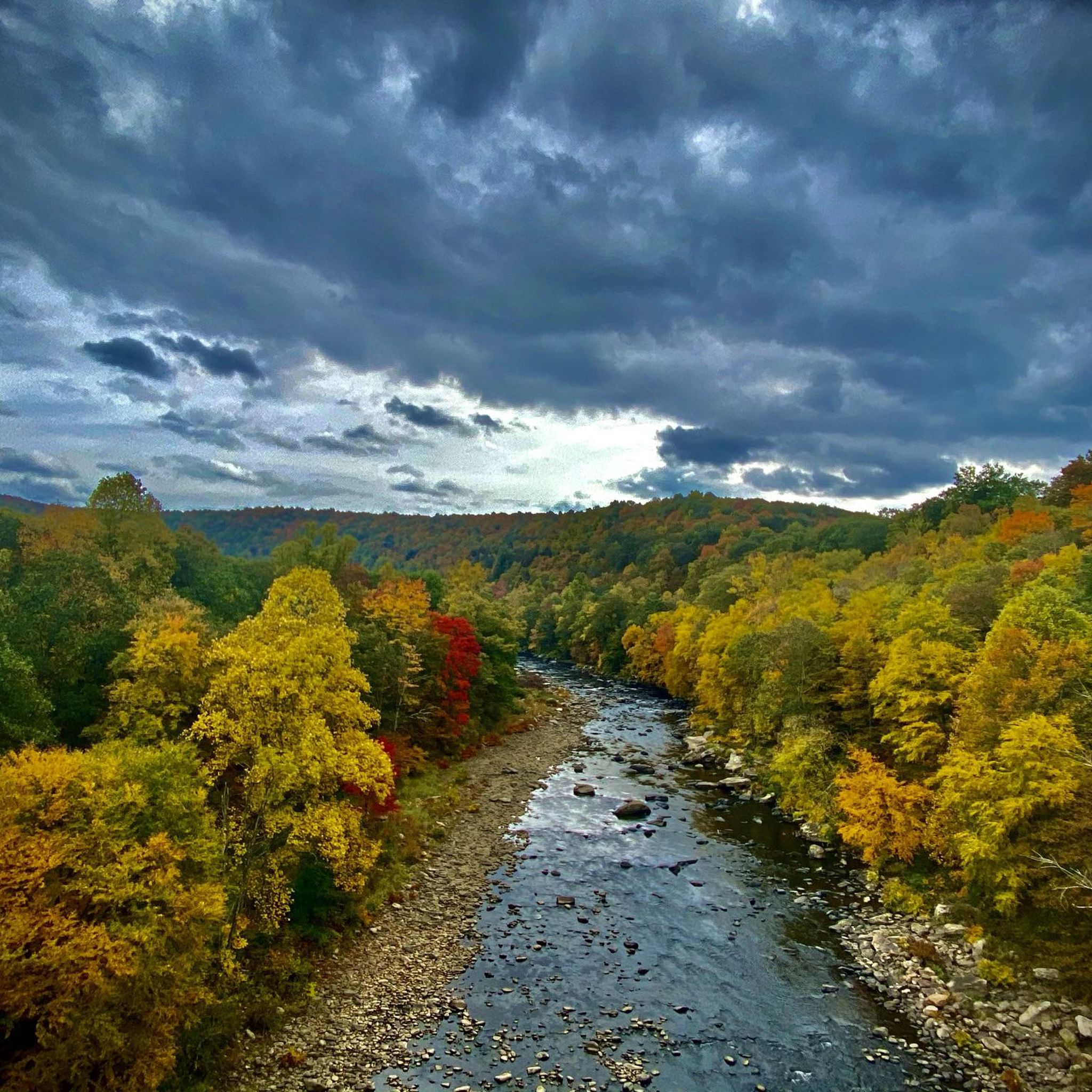
Road cycling routes around Deer Lake navigate a landscape characterized by significant elevation changes, dense woodlands, and river valleys. The region features numerous hills and sustained climbs, with routes often traversing through state parks and historical areas. Road cyclists can expect varied terrain, from winding roads through forests to challenging ascents. This area provides a robust environment for road cycling, focusing on physical challenge and natural scenery.
Best road cycling routes around Deer Lake
- The most popular road cycling route…
Last updated: May 15, 2026
46.1km
02:36
670m
670m
Cycle the moderate 28.7-mile Fort Necessity loop through scenic Laurel Highlands, exploring historical sites like the National Battlefield.
2
riders
43.7km
02:37
1,000m
1,000m
Hard road ride. Very good fitness required. Mostly well-paved surfaces and easy to ride.

Sign up for free
1
riders
66.5km
03:58
1,270m
1,270m
Hard road ride. Very good fitness required. Some segments of this route may be unpaved and difficult to ride.
5.0
(1)
1
riders
33.9km
02:02
610m
610m
Moderate road ride. Good fitness required. Some segments of this route may be unpaved and difficult to ride.
5.0
(2)
1
riders
70.9km
04:26
1,290m
1,290m
Hard road ride. Very good fitness required. Some segments of this route may be unpaved and difficult to ride.
Our route recommendations are based on thousands of hikes, rides, and runs completed by other people on komoot.
Start today with a free account
Your next adventure awaits.
Login or Signup



Tips from the Community

This is a waterfall, but you cant stay on a bike to view this.
0
0

The northern terminus of the Allegheny Trail sits right at the Mason-Dixon Line, directly in front of the Columbia Gas Transmission Station. There is ample parking available, with an informational kiosk marking the 0.0 mile point of the Allegheny Trail, which stretches for 311 miles through the Allegheny Mountains into dense forests, rolling ridgelines, and remote wilderness. If you want to see the Mason-Dixon Memorial, it is situated just behind the compressor station, and sets the stage for an immersive Appalachian adventure with significant historical importance.
0
0

One of the first things that welcomes you into the town of Ohiopyle is this beautiful mural. The artwork was designed by Shane Pilster, and completed by Shane and C. Clayton. The mural aims to pay homage to the town's industrial heritage.
1
0

Fort Necessity is located on a National Battlefield. It's a reconstructed fort that is a reimagination of the fort constructed by a young Lieutenant Colonel named George Washington. Washington marched his men out of the flimsy circular structure in 1754 and into battle against the French, this battle is known as the Battle of Fort Necessity.
0
0

Forbes State Forest encompasses more than 60,000 acres of land. The forest includes 6 state parks, 3 state forest picnic areas, as well as Mt. Davis, the highest point in Pennsylvania.
1
0
Confluence is one of the many small towns along the Great Allegheny Passage. It is a popular stop for travelers along the trail as there are many restaurants, shops and accommodation options.
0
0
Frequently Asked Questions
How many road cycling routes are available around Deer Lake?
There are 5 road cycling routes around Deer Lake listed in this guide. These routes range from moderate to difficult, offering challenges for various skill levels.
What is the general difficulty level of road cycling routes in the Deer Lake area?
The road cycling routes around Deer Lake are primarily moderate to difficult. There are 2 moderate routes, such as the Fort Necessity loop, and 3 difficult routes, including the challenging Confluence – Ohiopyle loop from Ohiopyle. Riders should be prepared for significant elevation changes.
Are there any scenic viewpoints or natural features to see along the road cycling routes?
Yes, the Deer Lake area, particularly around the Ohiopyle region, is rich in natural beauty. You can encounter stunning features like the Ohiopyle Falls Viewing Deck and the picturesque Cucumber Falls. The Youghiogheny River also offers scenic views along some routes.
Which routes feature waterfalls?
Several routes pass by or near beautiful waterfalls. The Cucumber Falls – Fort Necessity loop from Farmington, for example, brings you close to Cucumber Falls. You might also encounter Sugar Run Falls and the Ohiopyle Falls Viewing Deck on other routes in the area.
What is the best time of year for road biking around Deer Lake?
The Deer Lake area, particularly in Pennsylvania, experiences distinct seasons. Spring and autumn generally offer the most pleasant temperatures for road cycling, with vibrant foliage in the fall. Summers can be warm and humid, while winters bring cold temperatures and potential snow, making road cycling challenging or impossible on some routes.
Are there any loop road bike trails in the Deer Lake area?
Yes, all the road cycling routes listed in this guide are designed as loops. Examples include the Fort Necessity loop and the Ohiopyle – Ohiopyle State Park loop from Farmington, allowing you to start and finish at the same point.
What do other cyclists say about road biking in Deer Lake?
The road cycling experience around Deer Lake is highly rated by the komoot community, with an average score of 5.0 stars based on 3 ratings. Cyclists often praise the challenging terrain, scenic views, and the opportunity to explore natural monuments and historic sites like Fort Necessity.
Are there any particularly long or challenging road cycling routes?
For a longer and more challenging ride, consider the Fort Necessity – Forbes State Forest loop from Farmington, which covers over 70 km and features significant elevation gain. Another demanding option is the Ohiopyle – Ohiopyle State Park loop from Farmington, spanning over 66 km with substantial climbing.
What kind of elevation can I expect on these road cycling routes?
The road cycling routes around Deer Lake feature considerable elevation changes. For instance, the Confluence – Ohiopyle loop from Ohiopyle includes nearly 1000 meters of ascent, while the Fort Necessity – Forbes State Forest loop from Farmington has over 1280 meters of climbing. Riders should be prepared for hilly terrain.
Are there any historical landmarks along the road cycling routes?
Yes, the area is rich in history. The Fort Necessity loop, for example, passes by the Fort Necessity National Battlefield, a significant site from the French and Indian War, offering a blend of natural beauty and historical exploration.
Most popular routes around Deer Lake
Most popular attractions around Deer Lake

Get inspired with the komoot mobile app


Explore more
Browse the best Road cycling routes in other regions.
