The best walks and hikes around Harahan
4.0
(1)
75
hikers
7
hikes
Hiking around Harahan, Louisiana, is characterized by its largely flat terrain, offering accessible routes through urban parks and along significant waterways. The region features a mix of suburban landscapes, wetlands, and levee trails, with minimal elevation changes. Proximity to the Mississippi River and various state parks provides diverse ecosystems for exploration, including cypress-tupelo swamps and marshlands. These trails are generally well-suited for casual walks and longer, easy hikes.
Best hiking trails around Harahan
- The most popular hiking route is Audubon Park Loop, a 2.2 miles (3.5 km) trail that takes 53 minutes to complete. This easy loop offers a pleasant walk through a well-maintained urban park.
- Another top favourite among local hikers is Lafreniere Park Loop, an easy 2.3 miles (3.7 km) path. This route provides scenic views within a large park setting, ideal for a relaxed outing.
- Local hikers also love the Bayou Segnette State Park Hiking Trail, a 1.7 miles (2.8 km) trail leading through coastal wetlands and cypress-tupelo swamps, often completed in about 42 minutes.
- Hiking around Harahan is defined by urban park paths, wetland environments, and Mississippi River levee trails. The network offers options for easy, moderate, and difficult routes, catering to various ability levels.
- The routes in Harahan are highly rated by the komoot community with an average score of 4.5 stars from over 3 reviews. More than 199 hikers have used komoot to explore Harahan's varied terrain.
Last updated: June 25, 2026
47
hikers
3.51km
00:53
0m
0m
The Audubon Park Loop offers a serene escape into classic New Orleans charm, winding beneath magnificent, century-old live oak trees draped in Spanish moss. You'll find tranquil lagoons and a golf course along the way, with the Bird Island Rookery providing excellent birdwatching opportunities. It's a truly picturesque setting that feels a world away from the city, even though it's right in the heart of it.
This easy 2.2-mile (3.5 km) hiking route has a minimal 7 feet (2 metres) of elevation gain and takes about 52 minutes to complete, making it ideal for a leisurely walk or jog. The park is free to enter and very accessible, with both paved and dirt paths available. It's also dog-friendly, so feel free to bring your furry companion along for the stroll.
More than just a trail, Audubon Park is considered a daily ritual for many locals, embodying the spirit of New Orleans outdoors. Designed by John Charles Olmsted, the park harmonizes recreation and reflection. Its location near the Audubon Zoo and Tulane University adds to its appeal, making it a beloved urban oasis with plenty to see and do nearby.
4.0
(1)
14
hikers
3.66km
00:55
0m
0m
The Lafreniere Park Loop offers a refreshing escape within Metairie, providing a gentle 2.3-mile (3.7 km) hiking experience. This easy route is mostly flat, with only 6 feet (2 metres) of elevation gain, making it a perfect option for a quick, accessible outdoor activity. You can expect well-maintained pathways winding through green spaces, ideal for a leisurely walk or a light jog taking approximately 55 minutes.
Planning your visit to Lafreniere Park is straightforward, with ample parking typically available near the trailhead. Given its easy nature and short duration, it's a great choice for a spontaneous outing. Consider heading out in the morning or late afternoon, especially during warmer seasons, to enjoy more comfortable temperatures on this family friendly trail.
This loop is particularly notable for its accessibility and suitability for all ages and fitness levels, making it a popular spot for local residents. It's an excellent choice if you're looking for beginner hiking trails in Metairie, Louisiana, or simply a peaceful place to stretch your legs without venturing far from urban conveniences.

Sign up for free
2.82km
00:42
0m
0m
Step into the heart of Louisiana's unique wetland ecosystems on the Bayou Segnette State Park Hiking Trail. This easy 1.8-mile (2.8 km) route guides you through marsh and swamp environments, offering close-up views of cypress trees and "ghostly trees draped in Spanish moss." Elevated pathways and boardwalks keep you above the typical Louisiana mud, providing an immersive experience into this rich natural landscape.
Planning your visit is straightforward, as the park is just a short drive from New Orleans with ample parking available. The trail is rated easy, with only 7 feet (2 metres) of elevation gain, and takes about 42 minutes to complete, making it a perfect quick escape for families or anyone seeking a gentle nature walk. Consider visiting during cooler seasons for the most comfortable experience.
What makes this trail notable is its incredible biodiversity, situated where swamp and marsh ecosystems meet. Keep an eye out for alligators, turtles, various bird species like egrets and herons, and even nutria or armadillos. It's a fantastic opportunity to experience the distinctive bayou environment and its wildlife without needing intense physical exertion, all remarkably close to the city.
1
hikers
20.7km
05:11
10m
10m
Hike the Mississippi River Trail, a difficult 12.8-mile route with 42 feet of elevation gain, offering diverse riverfront views.
14.6km
03:41
20m
20m
Hike the 9.1-mile Westbank Mississippi River Levee Trail for paved, flat terrain and elevated views of the Mississippi River.
Get access to more routes and recommendations from other explorers.
Sign up for free
Already have an account?
Our route recommendations are based on thousands of hikes, rides, and runs completed by other people on komoot.
Start today with a free account
Your next adventure awaits.
Login or Signup
Popular around Harahan

Tips from the Community

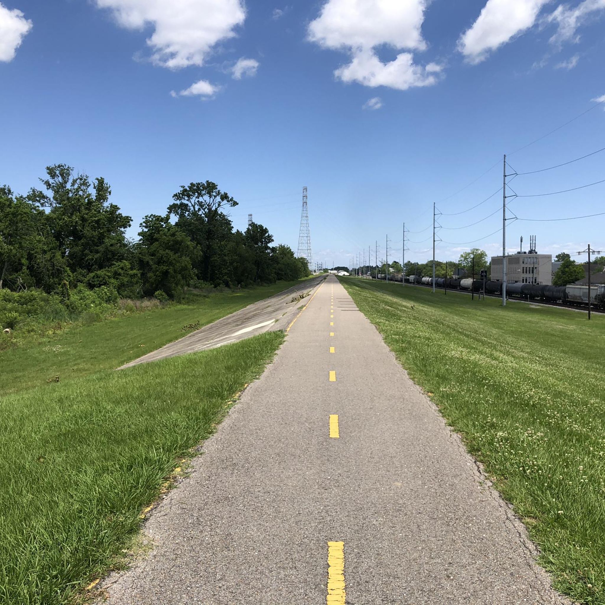
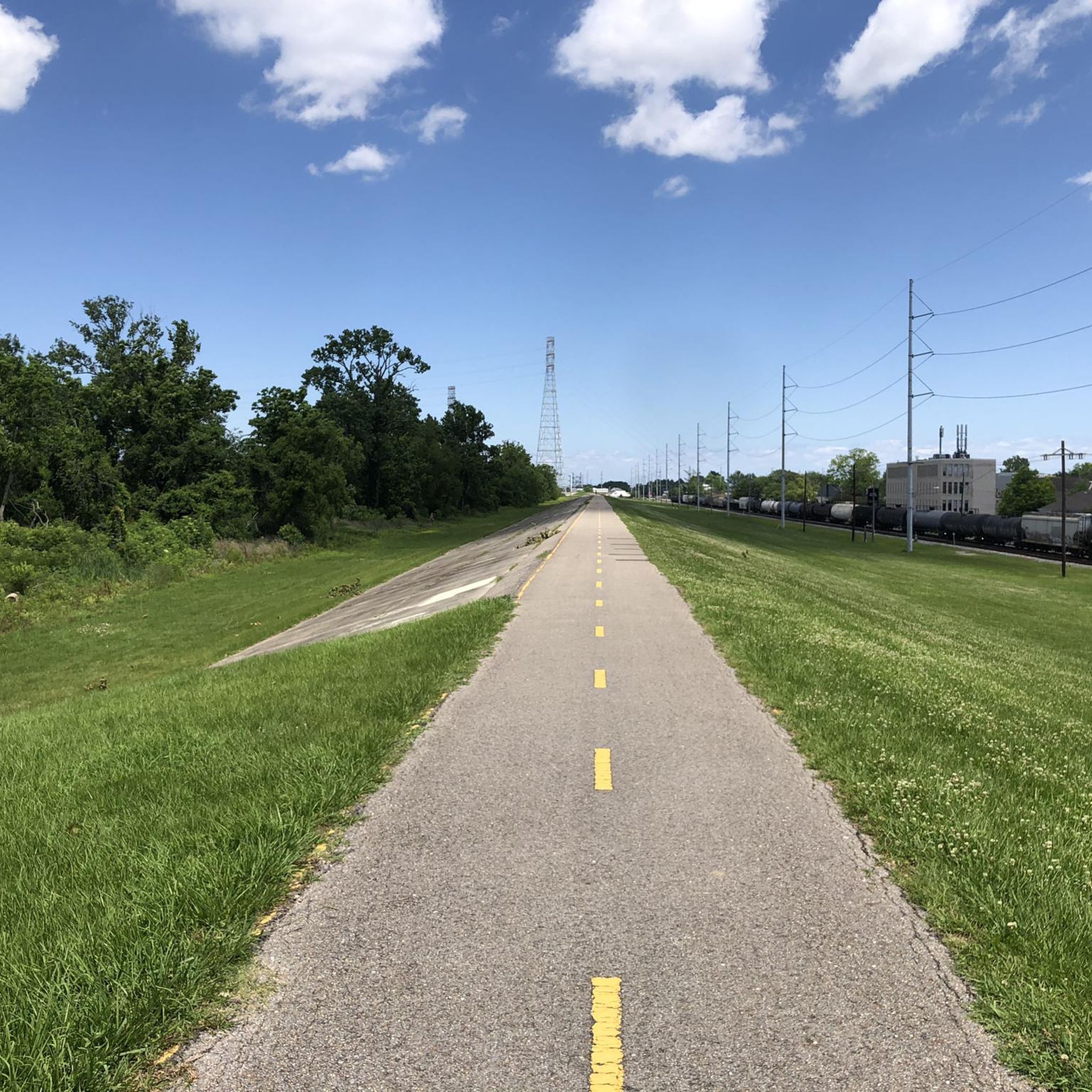
The Westbank Mississippi River Levee Trail is a paved trail that runs from Algiers to Hahnville. The trail is less popular than the Mississippi River Trail, but there is still a good chance you will see others out on the trail.
1
0

The Mississippi River Trail offers over 60 miles of paved walking, biking, and running trail to the public. The trail can be accessed from numerous locations on both the northern and southern sides of the river and is often utilized as a commuter trail by locals.
1
0

This pleasant park in the heart of Uptown New Orleans is mostly frequented by residents and students from the nearby Tulane and Loyola universities, although tourists also come to admire its magnificent oak trees. The park has a 1.8-mile paved loop that is most useful for jogging and rollerblading but can be cycled as well for a quick tour of the park.
1
0

Nice run goal, or runway, if you like less through the city. Has a special flair in the dark, the partially illuminated trees are very impressive.
2
0
Frequently Asked Questions
How challenging are the hiking trails around Harahan?
Hiking around Harahan is generally characterized by its largely flat terrain, making most trails accessible for various skill levels. You'll find a mix of easy, moderate, and some more difficult routes, often traversing urban parks, levee trails, and unique wetland environments. The region's minimal elevation changes mean most paths are well-suited for casual walks and longer, easy hikes.
Are there family-friendly hiking options near Harahan?
Yes, Harahan and its surrounding areas offer several excellent family-friendly hiking options. Many trails feature boardwalks that are accessible for all ages, even strollers. For example, the Audubon Park Loop and Lafreniere Park Loop are easy, paved routes perfect for a family outing. Further afield, the Barataria Preserve offers easy boardwalks and packed gravel paths, like the Bayou Coquille Trail, which are wheelchair accessible and great for kids.
Can I bring my dog on the hiking trails in Harahan?
Many parks and trails around Harahan are dog-friendly, but it's always best to check specific park regulations. For instance, the Wildcat Walk at Bayou Segnette State Park is a half-mile, dog-friendly trail. When hiking with your dog, always keep them on a leash and ensure you clean up after them.
What kind of natural features or wildlife can I expect to see on trails near Harahan?
The Harahan area is rich in diverse ecosystems. You can expect to see unique Louisiana wetlands, cypress-tupelo swamps, and marshlands. Wildlife viewing opportunities are abundant, especially in places like Bayou Segnette State Park and Barataria Preserve. Keep an eye out for alligators, turtles, minks, raccoons, opossums, and a wide variety of bird species, including glossy ibises, eastern bluebirds, red-shouldered hawks, and bald eagles. The Barataria Preserve also features impressive giant live oaks and a 600-year-old baldcypress tree.
Are there any circular hiking routes available?
Yes, there are several popular circular routes. The Audubon Park Loop is a pleasant 2.2-mile (3.5 km) loop through a well-maintained urban park. Another local favorite is the Lafreniere Park Loop, an easy 2.3-mile (3.7 km) path offering scenic views within a large park setting.
What are some notable landmarks or attractions to explore near Harahan's hiking trails?
Beyond the trails themselves, Harahan is close to several interesting landmarks and natural attractions. You can visit Audubon Park, a beautiful urban green space, or enjoy the views from The Fly at Audubon Riverview Park. For a historical perspective, Lafayette Cemetery No. 1 is also nearby. For more extensive natural exploration, consider Bayou Segnette State Park or the Barataria Preserve, both offering unique wetland experiences.
What do other hikers enjoy most about hiking in Harahan?
The hiking experiences around Harahan are highly rated by the komoot community, with an average score of 4.5 stars from over 3 reviews. Hikers frequently praise the accessibility of the trails, the unique wetland scenery, and the opportunities for wildlife observation. The flat terrain is often highlighted as ideal for relaxed outings and enjoying nature without strenuous climbs.
Are there options for longer, more challenging hikes near Harahan?
While many trails are easy, Harahan also offers options for longer and more challenging hikes. The Mississippi River Trail, for example, is a difficult route spanning over 12 miles (20 km). The Westbank Mississippi River Levee Trail is another moderate option, covering nearly 9 miles (14.6 km) along the river.
What is the best time of year to go hiking in Harahan?
The best time to go hiking in Harahan is typically during the cooler months, from late fall through early spring (roughly November to April). During this period, temperatures are more comfortable, and humidity is lower, making for a more enjoyable outdoor experience. Summers can be very hot and humid, with a higher chance of mosquitoes.
Are there any state parks or preserves easily accessible from Harahan for hiking?
Absolutely. Harahan is conveniently located near two significant natural areas. Bayou Segnette State Park, just a short drive south across the Huey P. Long Bridge, offers 676 acres of coastal wetlands, cypress-tupelo swamps, and marshlands with several trails. The Barataria Preserve, part of Jean Lafitte National Historical Park and Preserve, is about 30 minutes away and features over 9 miles of trails through 26,000 acres of wild Louisiana wetlands. For more information on these parks, you can visit Bayou Segnette State Park and Barataria Preserve.
What are the typical trail surfaces like in Harahan?
Trail surfaces in Harahan vary depending on the location. In urban parks like Audubon Park and Lafreniere Park, you'll find paved paths suitable for walking and biking. Along the Mississippi River, trails often follow levee tops, which can be paved or gravel. In wetland areas such as Bayou Segnette State Park and Barataria Preserve, trails range from boardwalks and packed gravel to natural dirt paths through forests and swamps. Some boardwalks are wheelchair accessible.
Most popular routes around Harahan
Most popular attractions around Harahan

Get inspired with the komoot mobile app


Explore more
Browse the best Hikes in other regions.
