The best gravel rides around Carbondale
24
riders
4
rides
Gravel biking around Carbondale, Colorado, offers diverse landscapes characterized by the Roaring Fork Valley, views of Mount Sopris, and the Crystal River. The region features an abundance of gravel roads, often described as "Colorado Champagne gravel," providing a packed yet slightly rough surface. These routes frequently include rolling gravel and paved sections with minimal traffic, alongside significant climbs and high-elevation terrain. The area provides a variety of gravel biking experiences, from scenic loops to challenging ascents through alpine meadows.
Best…
Last updated: July 7, 2026
75.2km
05:53
1,230m
1,230m
Hard gravel ride. Very good fitness required. Mostly paved surfaces. Suitable for all skill levels.
9
riders
64.7km
04:18
830m
830m
Hard gravel ride. Very good fitness required. Mostly paved surfaces. Suitable for all skill levels.

Sign up for free
4
riders
77.3km
05:11
1,120m
1,120m
Hard gravel ride. Very good fitness required. Mostly paved surfaces. Suitable for all skill levels.
2
riders
76.3km
05:16
1,190m
1,190m
Hard gravel ride. Very good fitness required. You may need to push your bike for some segments of this route.
Our route recommendations are based on thousands of hikes, rides, and runs completed by other people on komoot.
Start today with a free account
Your next adventure awaits.
Login or Signup
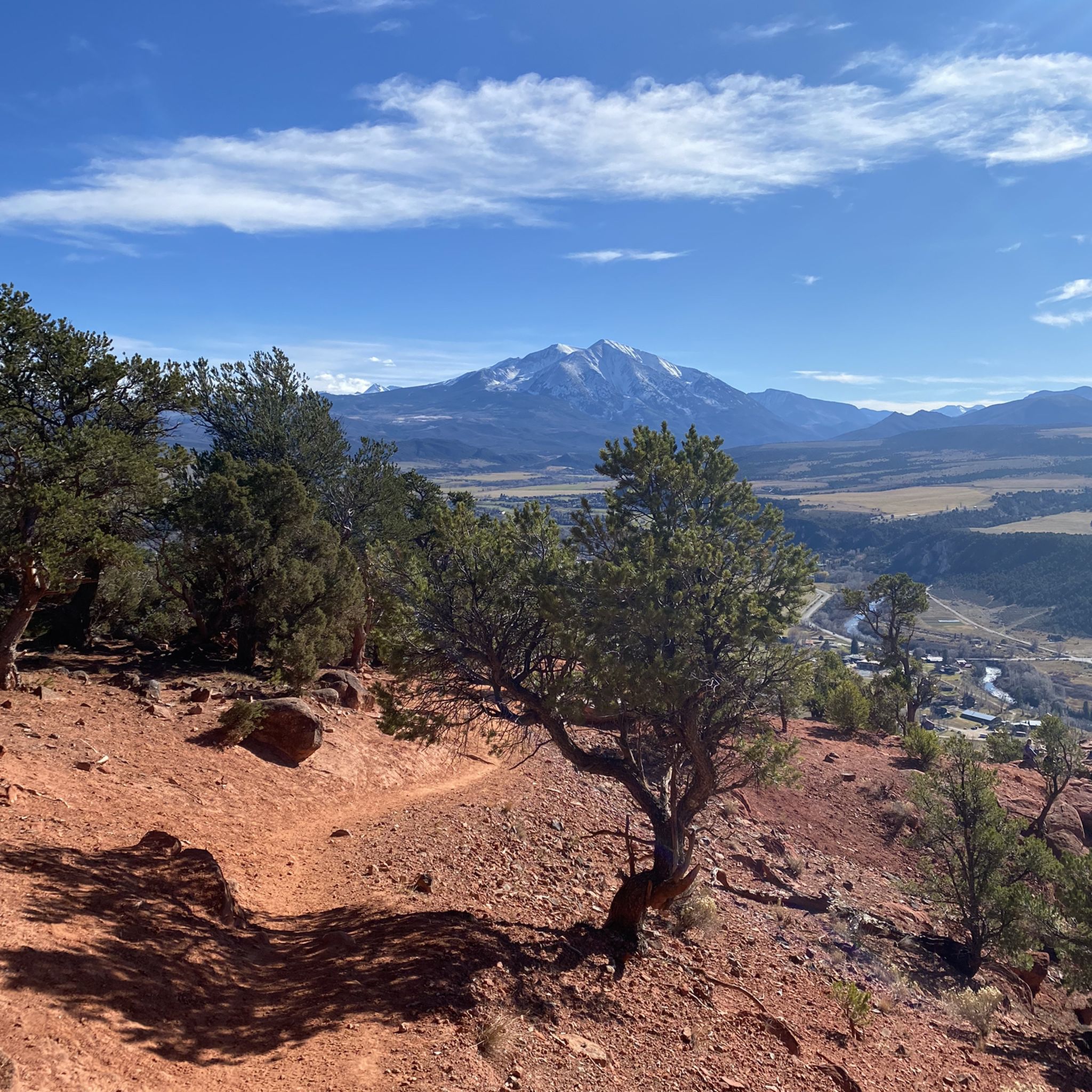
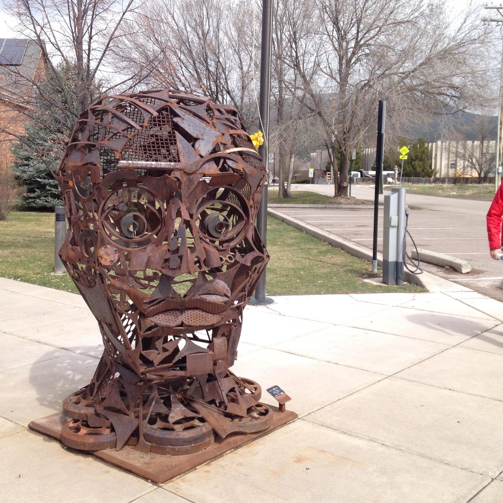
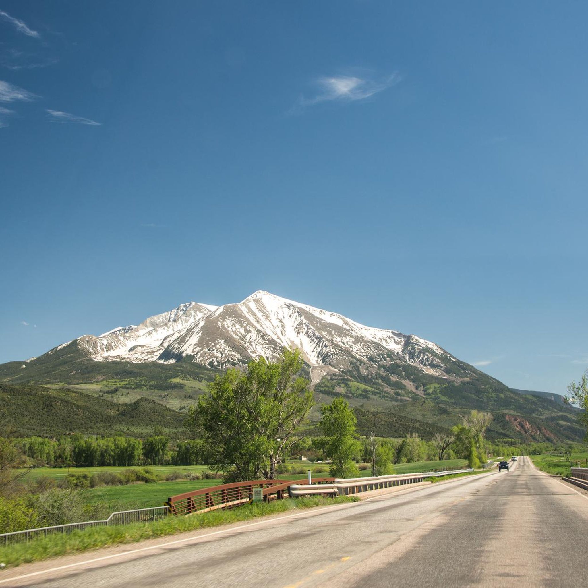
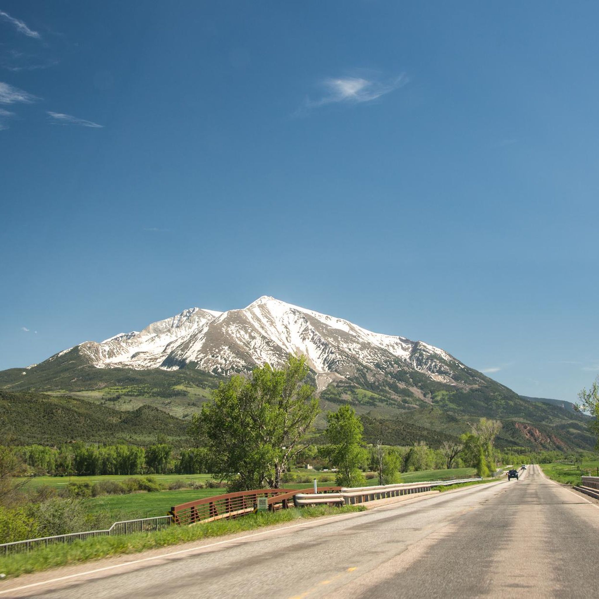
Tips from the Community

From this pedestrian bridge, you can enjoy a view above the Roaring Fork River. Here is the connection between the Rio Grande Trail and the Atkinson Canal Trail. This is an easy walk/bike trail that runs alongside the river. Rio Grande Trail connects Glenwood Springs to Aspen, so you can choose your distance and go for as long as you like.
0
0

The Rio Grande Trail is 42 miles between Glenwood Springs and Aspen. The trail is fully paved and traffic-free, except for crossings at intersections. This is a beautiful section that takes you into Carbondale.
0
0
The road up to the top of Watson Divide is a well-maintained dirt road. The climb is challenging, but it is worth it for the view at the top.
1
0

The Roaring Fork River is a fast-flowing and crystal-clear tributary of the Colorado River, extending for 70 miles through stunning canyons and valleys. It begins at Independence Lake in the Sawatch Range and winds its way past the towns of Aspen, Basalt, and Carbondale before it merges with the Colorado River in Glenwood Springs. Known for its fast and exciting currents, the river attracts many thrill-seekers and is a prime spot for whitewater rafting.
0
0
From this pedestrian bridge, you can enjoy a view above the Roaring Fork River. Here is the connection between the Rio Grande Trail and the Atkinson Canal Trail. This is an easy walk/bike trail that runs alongside the river. Rio Grande Trail connects Glenwood Springs to Aspen, so you can choose your distance and walk for as long as you like.
0
0

Prince Creek Trailhead provides access to great mountain bike, trail running and hiking trails. The trails range from a quick afternoon loop to an all-day 20+ mile loop. There are also several dispersed campsites along Prince Creek Road leading up to the trailhead.
0
0

Satank Bridge spans the Roaring Fork River and was constructed in a style to resemble the period of wagon bridges. On the bridge, you have a view up the Elk Scenic Corridor and a backdrop of majestic Mount Sopris. The bridge is also called "pink bridge" due to the pink hue it takes at sunset.
0
0

This section of Upper Cattle Creek Road takes you past Spring Park Reservoir on relatively smooth, hard-packed gravel. It is doable on a road bike, but you might want slightly fatter tires (~28mm and up) for a more comfortable ride.
0
0
Frequently Asked Questions
Are there beginner-friendly gravel bike trails in Carbondale?
While many routes in the Carbondale area are rated as difficult due to significant elevation gain and distance, the region's "Colorado Champagne gravel" is generally not overly technical, making it approachable for road cyclists looking to try gravel biking. For a shorter option, the Carbondale – Prince Creek Trailhead loop from Carbondale is 13.3 miles (21.4 km) and can be completed in under two hours, offering a taste of the varied terrain.
What are some challenging gravel bike routes around Carbondale?
Carbondale offers several challenging gravel bike routes with significant elevation gain. The Carbondale loop via Rio Grande Trail is a difficult 46.7 miles (75.2 km) trail with over 1200 meters of elevation gain. Another demanding option is the Carbondale – Satank Bridge loop from Carbondale, which covers 40.2 miles (64.7 km) and includes substantial climbing.
Are there any loop routes for gravel biking in Carbondale?
Yes, Carbondale features several excellent loop routes for gravel biking. Popular options include the Carbondale loop via Rio Grande Trail, the Carbondale – Satank Bridge loop from Carbondale, and the shorter Carbondale – Prince Creek Trailhead loop from Carbondale. These loops allow you to experience diverse landscapes and return to your starting point.
What are the typical distances and durations for gravel bike trails in Carbondale?
Gravel bike trails in Carbondale vary in length and duration. You can find routes ranging from shorter loops like the Carbondale – Prince Creek Trailhead loop from Carbondale at 13.3 miles (21.4 km) taking about 1 hour 47 minutes, to longer, more challenging rides such as the Carbondale loop via Rio Grande Trail, which is 46.7 miles (75.2 km) and typically takes nearly 6 hours to complete.
Which gravel bike trails offer the best scenic viewpoints?
Many gravel bike trails in Carbondale offer breathtaking scenery, including views of Mount Sopris and vibrant wildflowers. Routes in the Missouri Heights Loops area are known for panoramic views of Mount Sopris and Capitol Peak. The climb towards Dinkle Lake also provides beautiful alpine meadows and a sense of solitude. The Rio Grande Trail, while largely paved, offers scenic views of canyons and rivers.
Are there any interesting landmarks or attractions along the gravel bike routes?
Yes, several points of interest can be found near or along the gravel bike routes. The Rio Grande Trail itself is a significant feature, offering scenic views. You might also encounter the historic Satank Bridge. The region is also known for its stunning natural features like Mushroom Rock and the ever-present views of Mount Sopris.
Where can I find parking for gravel bike trails in Carbondale?
For many routes, you can often roll out directly from the town of Carbondale. However, if you're looking for specific parking areas, the Sutey Ranch Trailhead is a designated parking highlight that could serve as a starting point for some adventures in the area.
What is the best time of year for gravel biking in Carbondale?
The best time for gravel biking in Carbondale is generally when the weather is mild and trails are clear of snow. Spring, summer, and fall offer ideal conditions to enjoy the diverse landscapes and stunning views. Some higher elevation routes, like those near McClure Pass or Kebler Pass, may be closed or inaccessible due to snow in winter.
Are there less crowded gravel bike routes in the Carbondale area?
Carbondale is known for its abundance of gravel roads with low car traffic, providing a sense of solitude. Routes like the Missouri Heights Loops offer sparse traffic, and the high-elevation climbs towards Dinkle Lake can also provide a more secluded experience away from busier areas, especially during off-peak times.
Can I bring my dog on gravel bike trails in Carbondale?
While Carbondale is an outdoor-friendly community, regulations for dogs on trails can vary. It's always best to check local signage and specific trail rules for each route you plan to ride. Generally, dogs should be kept on a leash and all waste should be packed out to preserve the natural environment.
What kind of gravel surface can I expect in Carbondale?
Carbondale is famous for its "Colorado Champagne gravel," which is often described as a packed yet slightly rough surface. This type of gravel provides an ideal biking experience, offering good traction without being overly technical, making it suitable for a wide range of gravel cyclists.
What do other gravel bikers enjoy most about gravel biking in Carbondale?
Gravel bikers frequently praise Carbondale for its diverse landscapes, stunning views of Mount Sopris, and the low car traffic on its extensive network of gravel roads. The unique "Colorado Champagne gravel" surface is also a highlight, providing an excellent riding experience. Many appreciate the ability to roll out directly from town to access routes ranging from 30 to 100 miles with world-class views.
Most popular attractions around Carbondale

Get inspired with the komoot mobile app


Explore more
Browse the best Gravel rides in other regions.
