The best gravel rides around Culliagh
4.7
(6)
184
riders
5
rides
Gravel biking around Culliagh offers diverse landscapes within the Cuilcagh Lakelands Geopark, spanning counties Cavan and Fermanagh. The region features a mix of blanket bog, limestone grasslands, and ancient geological formations. Terrain varies from challenging climbs to scenic trails, with elevations reaching up to 2,188 feet (665 meters) on Cuilcagh Mountain. The area is characterized by its natural dystrophic lakes and transitions to montane and rock habitats, providing varied surfaces for gravel cyclists.
Best gravel bike trails around Culliagh
- The…
Last updated: May 17, 2026
5.0
(1)
89
riders
107km
08:28
1,550m
1,550m
Hard gravel ride. Very good fitness required. Mostly paved surfaces. Suitable for all skill levels.
19
riders
90.6km
06:35
1,200m
1,200m
Hard gravel ride. Very good fitness required. Mostly paved surfaces. Suitable for all skill levels.

Sign up for free
1
riders
12.5km
01:07
170m
170m
Moderate gravel ride. Good fitness required. Mostly paved surfaces. Suitable for all skill levels.
5
riders
53.5km
03:22
620m
620m
Hard gravel ride. Very good fitness required. Mostly paved surfaces. Suitable for all skill levels.
4
riders
33.3km
02:18
430m
430m
Moderate gravel ride. Good fitness required. Mostly paved surfaces. Suitable for all skill levels.
Our route recommendations are based on thousands of hikes, rides, and runs completed by other people on komoot.
Start today with a free account
Your next adventure awaits.
Login or Signup


Tips from the Community

Fast rolling forestry gravel roads that cut through this wild landscape, passing over Lough Nabrickboy with views across to surrounding deep-blue loughs.
1
0
Wonderful rolling gravel riding through the Culeigh Lakelands Global Unesco Geopark. You'll cut through dense woodland and traverse more open spaces with far reaching views on a clear day.
0
0

Corracloona Court Tomb, commonly called Prince Connell's Grave. It was built c. 2000–1500 BC, in the early Bronze Age. One stone has a large hole in the bottom, called the "Kennel-Hole". - https://en.wikipedia.org/wiki/Corracloona_Court_Tomb
1
0

The viewpoint at the Cliffs of Magho is sensational. Enjoy panoramic views over Lough Erne and towards the Atlantic Ocean and Blue Stack mountains. Picnic benches, bins, and an information board are provided at the top.
4
0

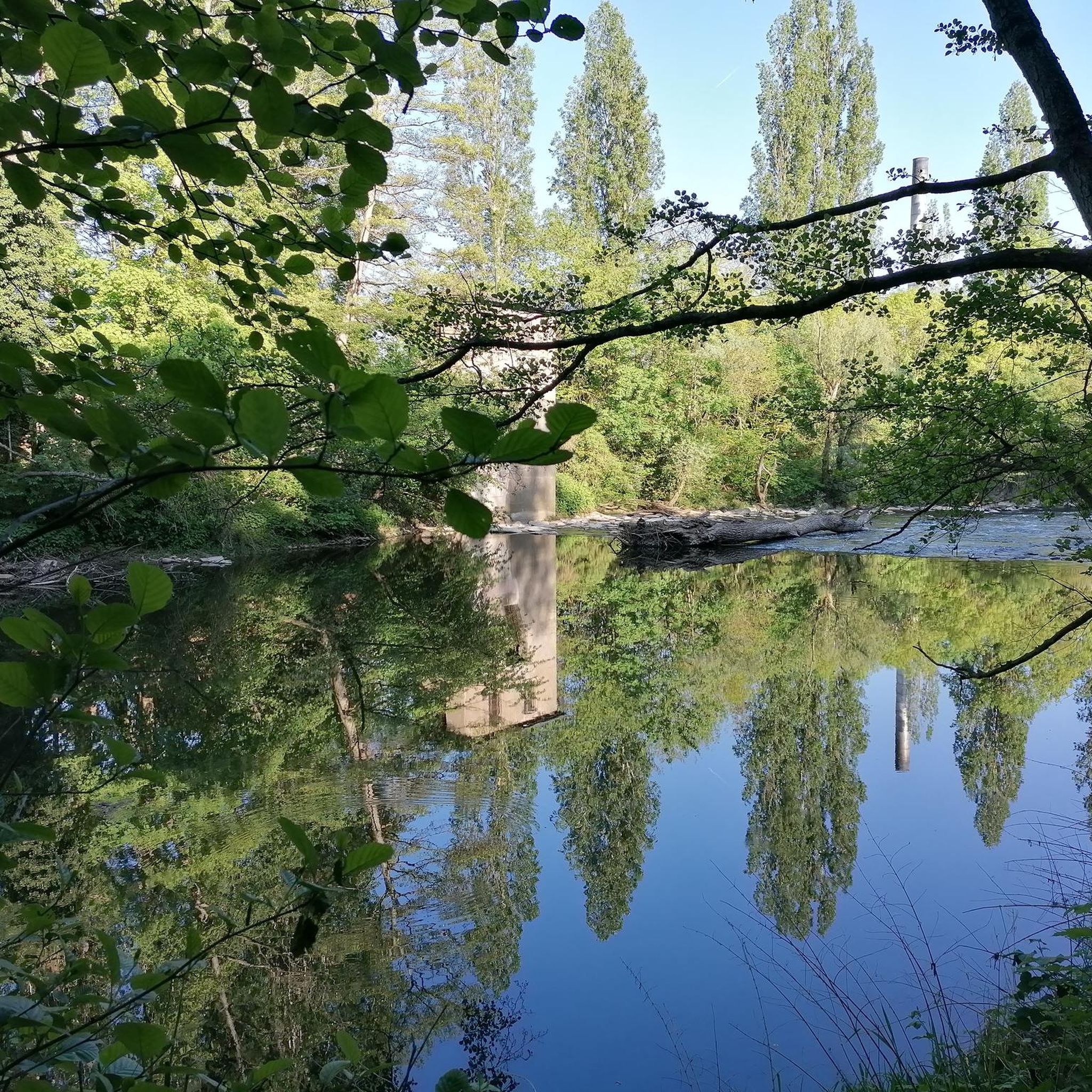
Meenameen Lough sits in the wonderful Lough Navar Forest. It is peaceful and quiet with plenty of tree cover, providing the perfect spot to take a break and take in this unspoilt landscape.
0
0
The Cliffs of Mago are a 9 Km long limestone escarpment. The cliffs have a fantastic viewpoint overlooking the western reaches of Lower Lough Erne and defines the northern boundary of Lough Navar Forest. To locate the viewpoint head north on Lough Navar Forest Drive road for 2km from the highlight location.
1
0

Breathtaking views of Lough Earne.
2
1

Frequently Asked Questions
What kind of terrain can I expect on gravel bike trails around Culliagh?
The Culliagh region, part of the Cuilcagh Lakelands Geopark, offers a diverse mix of terrain. You'll encounter blanket bog, limestone grasslands, and ancient geological features. Surfaces vary, providing everything from challenging climbs to scenic trails, with elevations reaching up to 2,188 feet (665 meters) on Cuilcagh Mountain. The area also features natural dystrophic lakes and transitions to montane and rock habitats.
Are there any easy gravel bike trails suitable for beginners in Culliagh?
While many routes in Culliagh are challenging, there are options for moderate skill levels. For a shorter, less demanding ride, consider the Aghanaglack Prehistoric Tomb loop from Aghanaglack, which is 7.8 miles (12.5 km) long and takes about 1 hour 7 minutes to complete. This route allows you to experience the prehistoric landscapes without extensive climbs.
What are some longer gravel biking routes available in the Culliagh area?
For those seeking a longer adventure, the region offers several extensive routes. One option is the Aghanaglack Prehistoric Tomb – View of Lough Nabrickboy loop from Belcoo, a difficult 66.7-mile (107.3 km) trail with significant elevation gain. Another substantial route is the Tams Pier – Camping Spot loop from Belcoo, covering 33.2 miles (53.5 km) with challenging sections.
What attractions or landmarks can I see along the gravel bike trails in Culliagh?
The Culliagh area is rich in natural and historical attractions. You can explore prehistoric sites like the Aghanaglack Prehistoric Tomb, which is part of the Cavan Burren Park. Natural features include the Cliff Edge of Cuilcagh Mountain, offering panoramic views. You might also encounter waterfalls such as Cladagh Glen Waterfall or Pollnagollum Cave and Waterfall. For a glimpse into history, Enniskillen Castle is also nearby.
Are there any circular gravel bike routes in Culliagh?
Yes, many of the gravel bike routes in Culliagh are designed as loops. For instance, the Aghanaglack Prehistoric Tomb loop from Aghanaglack is a moderate circular route. Another option is the Aghanaglack Prehistoric Tomb – Camping Spot loop from Belcoo, which also forms a loop, offering varied landscapes and a moderate challenge.
What do other gravel bikers say about the trails in Culliagh?
The gravel biking routes in Culliagh are highly rated by the komoot community, with an average score of 4.4 stars from over 5 reviews. Riders often praise the diverse landscapes, the challenging climbs, and the opportunity to explore ancient geological features and prehistoric sites.
Is there parking available near the gravel bike trailheads in Culliagh?
Yes, parking is available in the region. For example, the Cuilcagh Mountain Park Car Park is a designated parking area that can serve as a starting point for exploring the trails. Additionally, areas like Cavan Burren Park also offer parking facilities.
What is the best time of year for gravel biking in Culliagh?
The spring and summer months generally offer the most favorable conditions for gravel biking in Culliagh, with wildflowers blooming in the limestone grasslands and more stable weather. However, the region's blanket bog and varied terrain mean conditions can change quickly. Always check local weather forecasts before heading out, especially during wetter seasons, as trails can become muddy.
Are there any dog-friendly gravel trails in Culliagh?
While specific dog-friendly designations for all gravel trails are not universally marked, many outdoor areas in the Cuilcagh Lakelands Geopark are suitable for dogs on a lead. It's always best to check local signage and regulations for specific routes, especially concerning protected habitats like blanket bogs, to ensure responsible access with your pet.
Can I access Culliagh's gravel biking routes using public transport?
Public transport options directly to all gravel biking trailheads in Culliagh may be limited due to the rural nature of the Cuilcagh Lakelands Geopark. It's advisable to research local bus services to nearby towns like Belcoo or Ballyconnell and plan for potential additional travel or a short ride to reach your desired starting point. Checking regional transport websites for up-to-date schedules is recommended.
Are there any cafes or pubs near the gravel biking routes in Culliagh?
Yes, you can find amenities in the towns surrounding the Culliagh area. Towns like Ballyconnell and Belcoo, which are often starting points for routes, offer cafes and pubs where you can refuel and relax after your ride. It's a good idea to check opening hours, especially if you're riding during off-peak seasons.
What is the Scarplands Cycle Trail and how does it relate to Culliagh?
The Scarplands Cycle Trail is Ireland's longest coarse gravel cycle trail, launched by the Cuilcagh Lakelands Geopark. It's a 60km linear route starting in Belcoo and ending at Lough Navar Forest, featuring significant elevation and panoramic views. While not directly listed as a komoot tour in this guide, its presence highlights the region's commitment to gravel biking and offers additional riding opportunities within the broader Geopark area.
Most popular attractions around Culliagh

Get inspired with the komoot mobile app


Explore more
Browse the best Gravel rides in other regions.
