The best waterfall hikes and walks in Sierra Norte
4.3
(321)
1,491
hikers
3
hikes
Waterfall hiking trails in Sierra Norte traverse a diverse landscape characterized by mountains, deep valleys, and extensive forests, including pine, oak, and cloud forests. The region's varied elevations, from 700 to over 3,000 meters, create numerous microclimates and contribute to a rich biodiversity. Rivers and streams cut through the terrain, forming numerous waterfalls that are a central feature of the hiking experience. These natural water features are often found amidst lush vegetation and provide focal points for many routes.
Best…
Last updated: October 10, 2026
4.2
(25)
57
hikers
16.8km
04:39
290m
290m
Moderate hike. Good fitness required. Easily-accessible paths. Suitable for all skill levels.
3.6
(5)
18
hikers
Easy hike. Great for any fitness level. Easily-accessible paths. Suitable for all skill levels.

3.8
(4)
11
hikers
28.7km
07:37
280m
280m
Hard hike. Very good fitness required. Easily-accessible paths. Suitable for all skill levels.
Our route recommendations are based on thousands of hikes, rides, and runs completed by other people on komoot.
Start today with a free account
Your next adventure awaits.
Popular around Sierra Norte
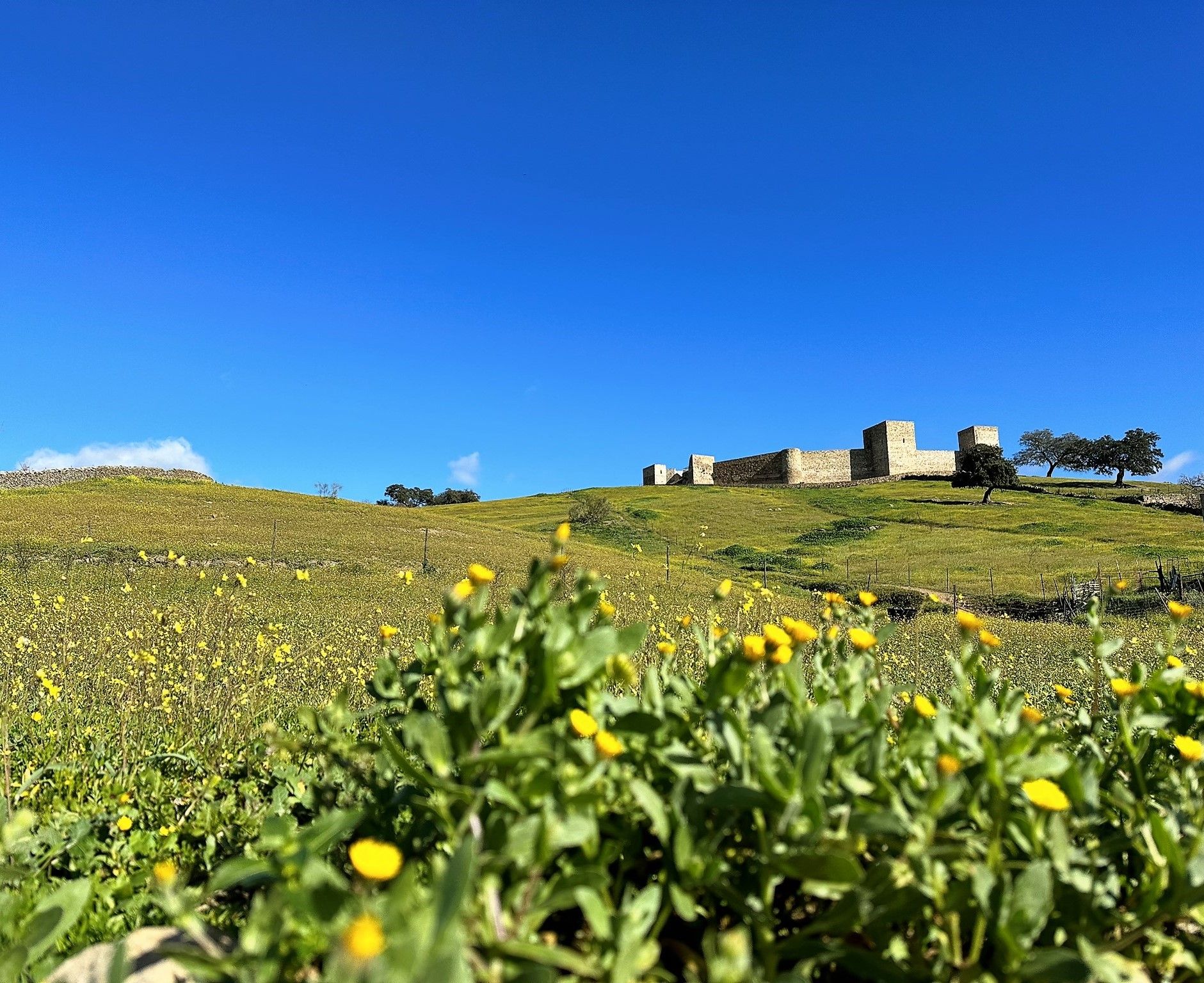
Dehesas and castles of Sierra Morena – Huelva and Seville on foot (GR 48)
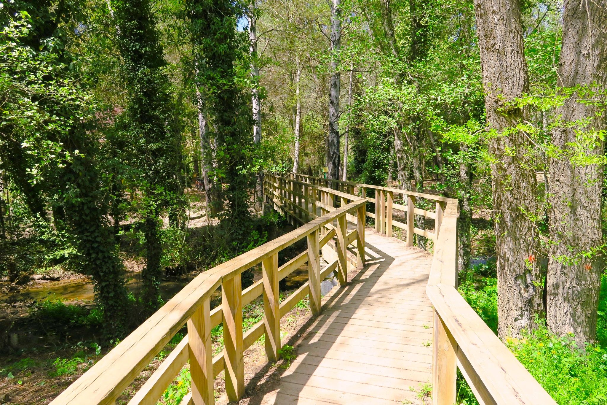
Land, culture, disconnection — Sierra Norte de Sevilla Natural Park
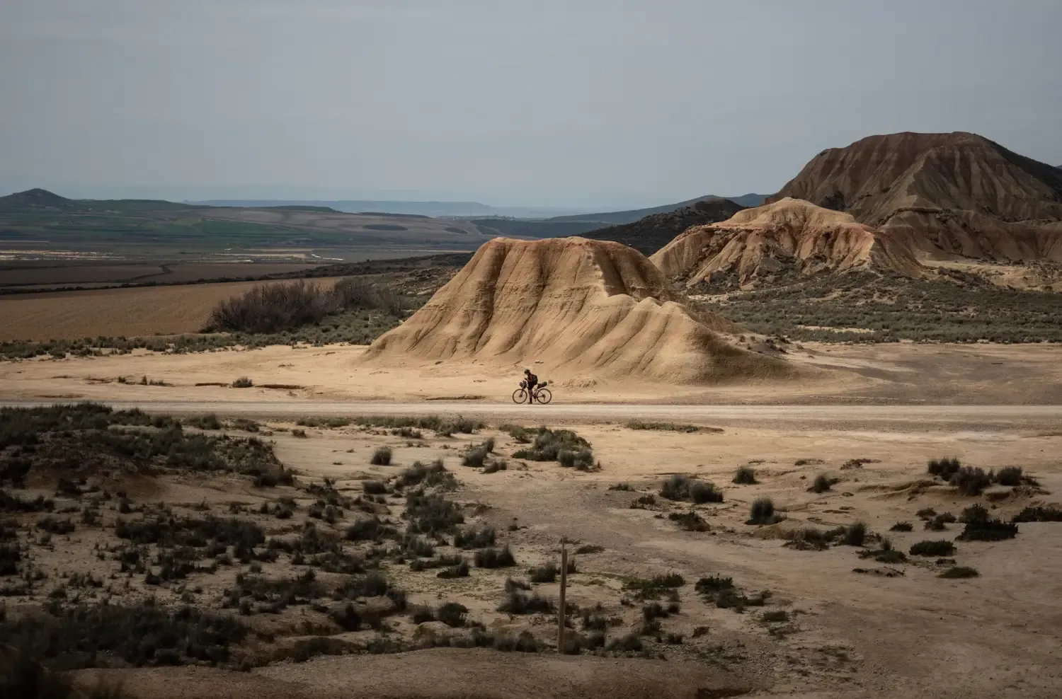
9 mountain biking routes in undiscovered Spain
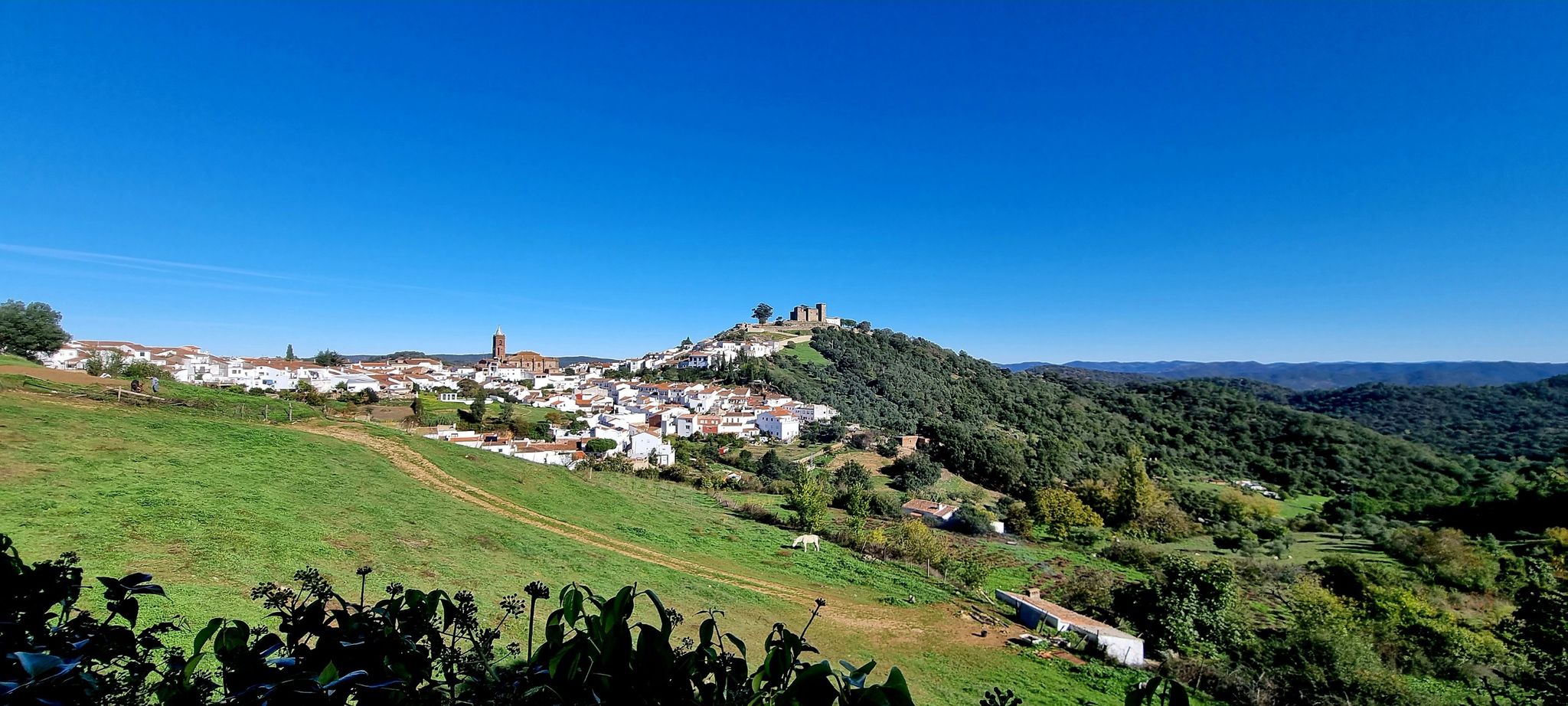
European Divide Trail across the Iberian Peninsula – south
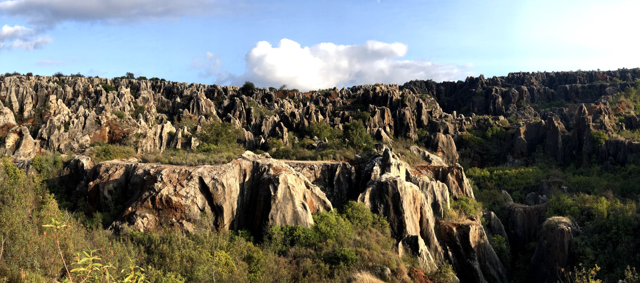
Cycling among the mysterious faults – Sierra Morena (GR 48)

Let’s head south – cycle in Andalusia with me and my dog

Wild and free Andalusia – Transandalus through the interior
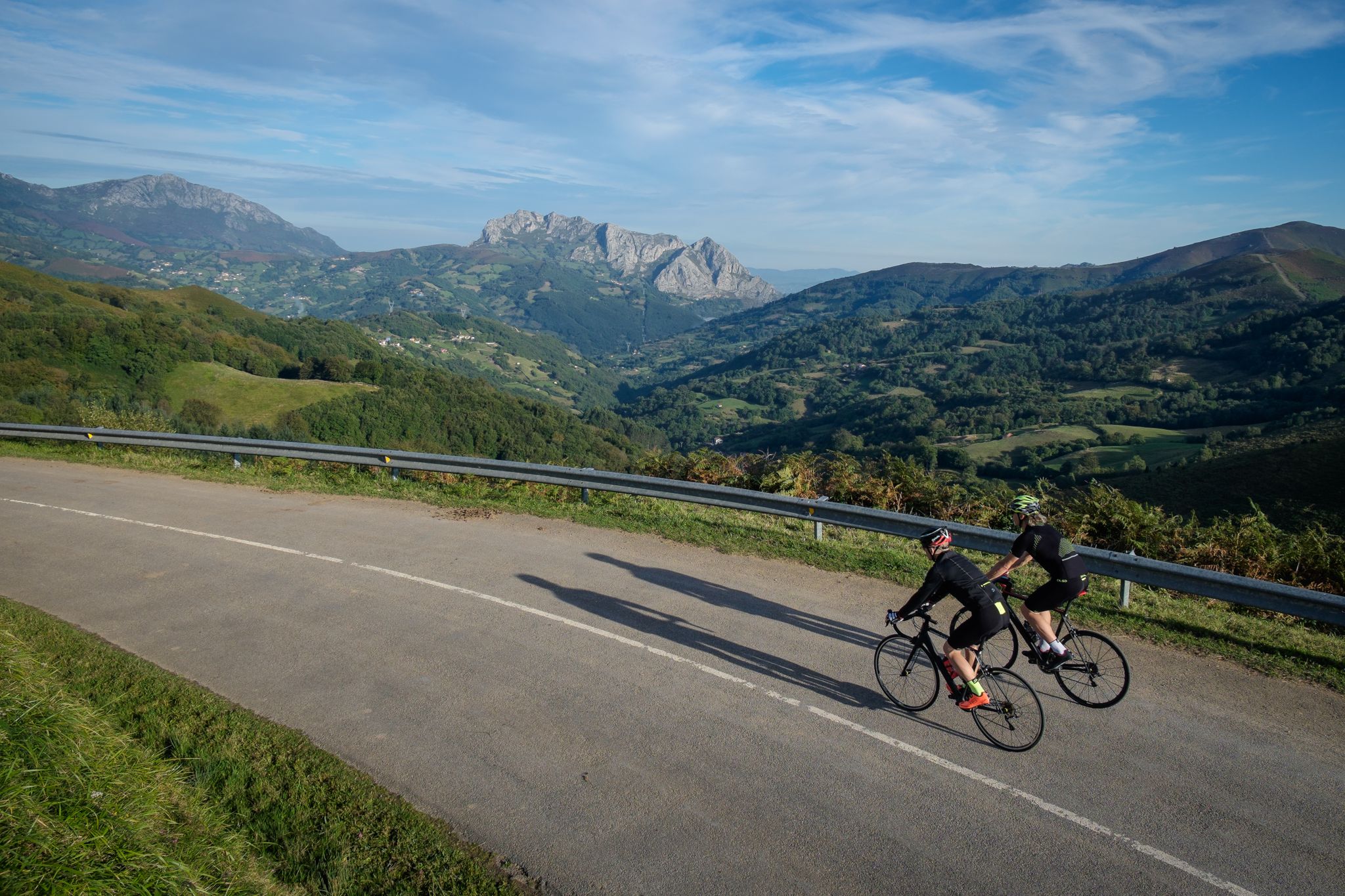
Explore Spain’s monuments and landscapes – cycle the Via de la Plata
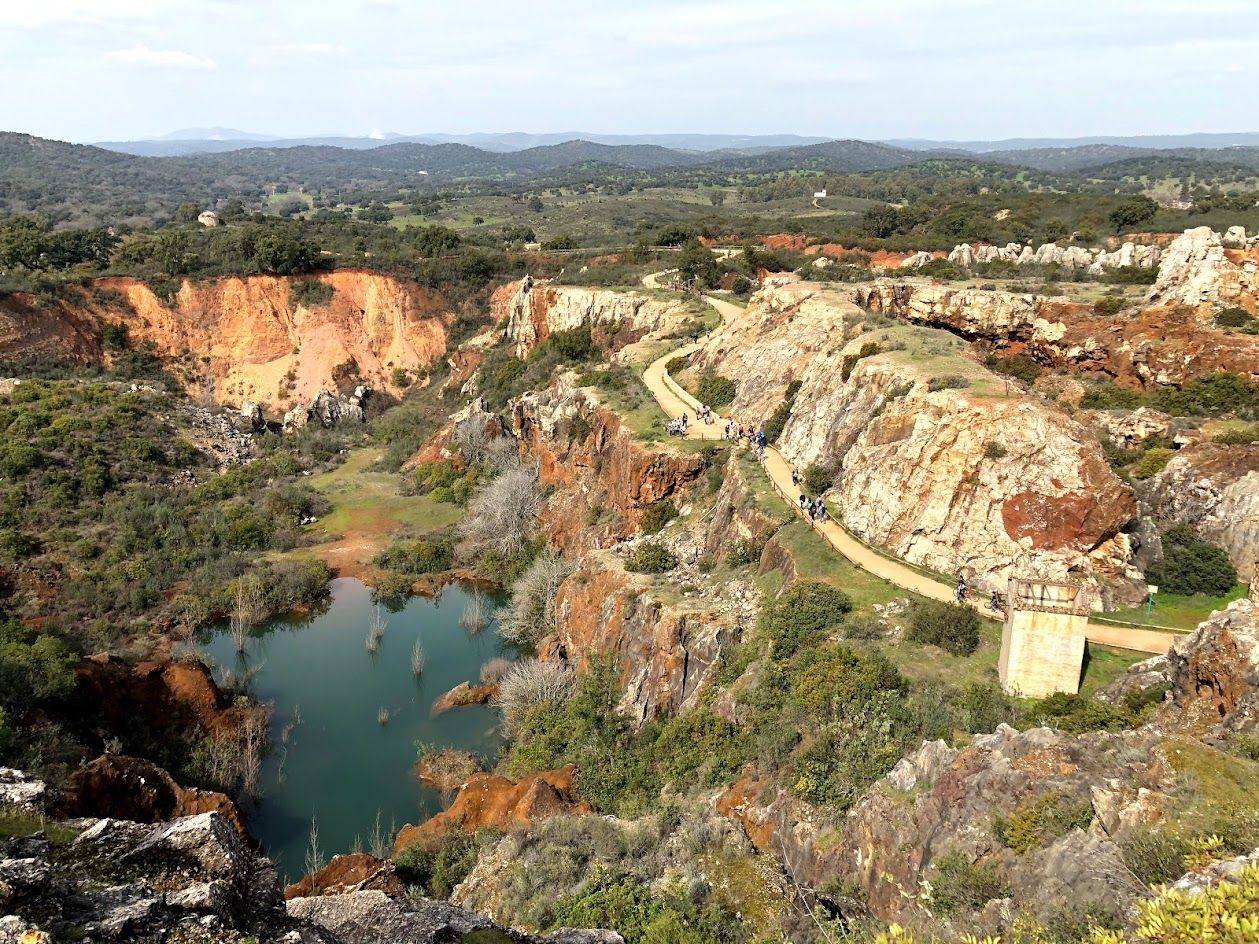
Journey through Spain’s Sierra Morena — Cordoba to Seville by bike
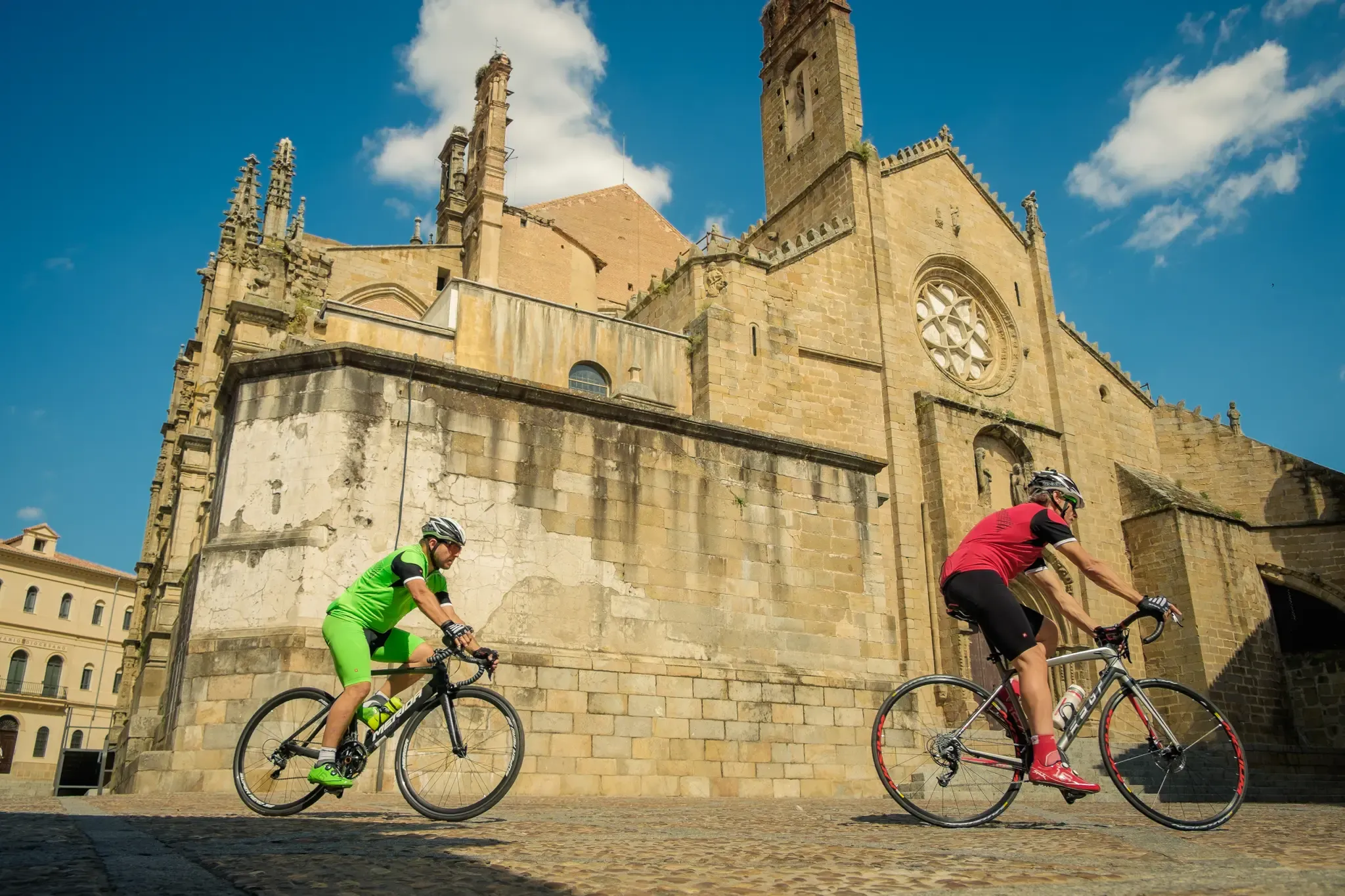
Vía de la Plata – from Seville to Gijón by bike
Other adventures in Sierra Norte


Tips from the Community

This viewpoint is part of a network of trails and viewpoints that cross areas of great ecological and cultural value.
4
0
El Chorro Waterfall near Almadén de la Plata is a natural gem located in the Sierra Norte of Seville. This waterfall is located in a narrow gorge through which the Calzadilla stream cascades. The route to the waterfall is known as the El Chorro Georoute and is quite popular among hikers.
1
0
The Mirador Cerro del Calvario is a beautiful observation point located in the Sierra Norte de Sevilla Natural Park, near Almadén de la Plata. This viewpoint offers spectacular views of the region and is a popular hiking spot. The route to the viewpoint is moderate and accessible for most fitness levels. Also near the viewpoint is El Chorro Waterfall, another natural attraction worth visiting.
6
0

The arrival from Almadén de la Plata is straightforward and follows a straightforward track until you reach the Chorro trail. Once you reach the bed of the Las Calzadillas stream, the truly interesting part begins. From the clearly marked trail, you access the stream bed to see the rock embedded in the gorge formed by the stream. Then, there are steep climbs with spectacular views until you reach the return path. Very interesting and highly recommended.
1
0

Recommended, lots of tunnels to explore. A beautiful area and incredible landscapes. Very easy and entertaining.
0
0

This idyllic town, located in the heart of the Sierra Morena Natural Park, offers the tranquility of the mountains, the pleasure of adventure tourism and the pleasure of its artificial beach. This is a natural pool created by the waters of the Galindón River as it flows through the city.
16
0

In this small town with cobbled streets is the Iglesia de San Sebastian Y San Diego which is located in the old center of the town!
0
0
El Chorro is a narrow gorge through which the Calzadilla stream falls in small and beautiful cascades. Except for its final stretch, it is largely linear, since we will have to follow the same path back and forth.
0
1
Frequently Asked Questions
How many waterfall hiking trails are available in Sierra Norte?
Sierra Norte offers a selection of waterfall hiking trails. Currently, there are 3 distinct routes featured in this guide, catering to various difficulty levels and preferences.
What is the best time of year to go waterfall hiking in Sierra Norte?
The ideal time for waterfall hiking in Sierra Norte depends on the specific region. For Sierra Norte de Oaxaca, the dry season from November to April is recommended for milder temperatures and clearer skies. In Sierra Norte de Puebla, the region is lush and evergreen year-round due to clouds from the Gulf of Mexico, making it a good destination for waterfall viewing throughout much of the year. Sierra Norte de Madrid offers beautiful scenery in spring and autumn, with waterfalls often more robust after seasonal rains.
What do other hikers say about the waterfall trails in Sierra Norte?
The waterfall trails in Sierra Norte are highly regarded by the komoot community, holding an average rating of 4.2 stars from over 240 reviews. More than 1100 hikers have explored the diverse terrain, often praising the natural beauty and varied landscapes.
Are there options for different fitness levels on the waterfall trails?
Yes, the Sierra Norte region offers waterfall trails for various fitness levels. While there are no easy routes listed in this guide, you can find moderate options like the Cerro del Calvario and El Chorro Waterfall Loop, which is 10.4 miles (16.8 km) long. For more experienced hikers, there are difficult routes such as the Huéznar Waterfalls – Roman bridge loop from San Nicolás del Puerto, covering 13.5 miles (21.8 km).
Can I find circular waterfall routes in Sierra Norte?
Yes, several waterfall trails in Sierra Norte are designed as loops, allowing you to start and end at the same point. Examples include the moderate Cerro del Calvario and El Chorro Waterfall Loop, and the more challenging Huéznar Waterfalls loop from Los Prados.
What kind of landscapes can I expect on a waterfall hike in Sierra Norte?
Waterfall hikes in Sierra Norte traverse incredibly diverse landscapes. You can expect to encounter extensive forests, including pine, oak, and cloud forests, alongside deep valleys and mountainous terrain. Rivers and streams carve through the land, creating numerous cascades and waterfalls amidst lush vegetation. Depending on the specific Sierra Norte region, you might also see high-altitude ecosystems, agave plants, or even coffee plantations.
Are there any viewpoints or natural attractions along the waterfall trails?
Yes, many waterfall trails in Sierra Norte offer stunning viewpoints and natural attractions. For instance, the area features highlights such as the Cerro del Hierro Viewpoint and the Cerro del Calvario Viewpoint. Of course, the main attraction is often the waterfalls themselves, like the impressive El Chorro Waterfall.
Are there any historical sites or cultural experiences near the waterfall hikes?
Absolutely. In Sierra Norte de Oaxaca, you can experience the unique Zapotec culture through the Pueblos Mancomunados, offering hospitality and guided tours. In Sierra Norte de Madrid, charming medieval towns like Buitrago del Lozoya and historical sites such as the Pontón de la Oliva (an ancient dam) are often accessible. The Huéznar Waterfalls – Roman bridge loop from San Nicolás del Puerto specifically includes a historic Roman bridge.
How long do waterfall hikes in Sierra Norte typically take?
The duration of waterfall hikes in Sierra Norte varies significantly based on the route's length and difficulty. A moderate trail like the Cerro del Calvario and El Chorro Waterfall Loop typically takes around 4 hours and 39 minutes. Longer, more difficult routes, such as the Huéznar Waterfalls loop from Los Prados, can take approximately 7 hours and 23 minutes to complete.
Are there any castles or other landmarks to explore near the waterfall trails?
Yes, the Sierra Norte region is home to several historical castles and landmarks. You can find highlights such as the View of El Real de la Jara Castle, Castillo de las Torres, and the Castle of Constantina. These can often be combined with hiking excursions for a richer experience.
What is the elevation gain like on waterfall hikes in Sierra Norte?
The elevation gain on waterfall hikes in Sierra Norte can vary. For example, the moderate Cerro del Calvario and El Chorro Waterfall Loop involves an elevation gain of approximately 289 meters. More challenging routes like the Huéznar Waterfalls loop from Los Prados have a similar gain of around 261 meters, often spread over longer distances.
Most popular routes in Sierra Norte
Most popular attractions in Sierra Norte

Get inspired with the komoot mobile app


Explore more
Browse the best Hikes in other regions.
