The best road cycling routes around Granvinsvatnet
5.0
(1)
126
riders
5
rides
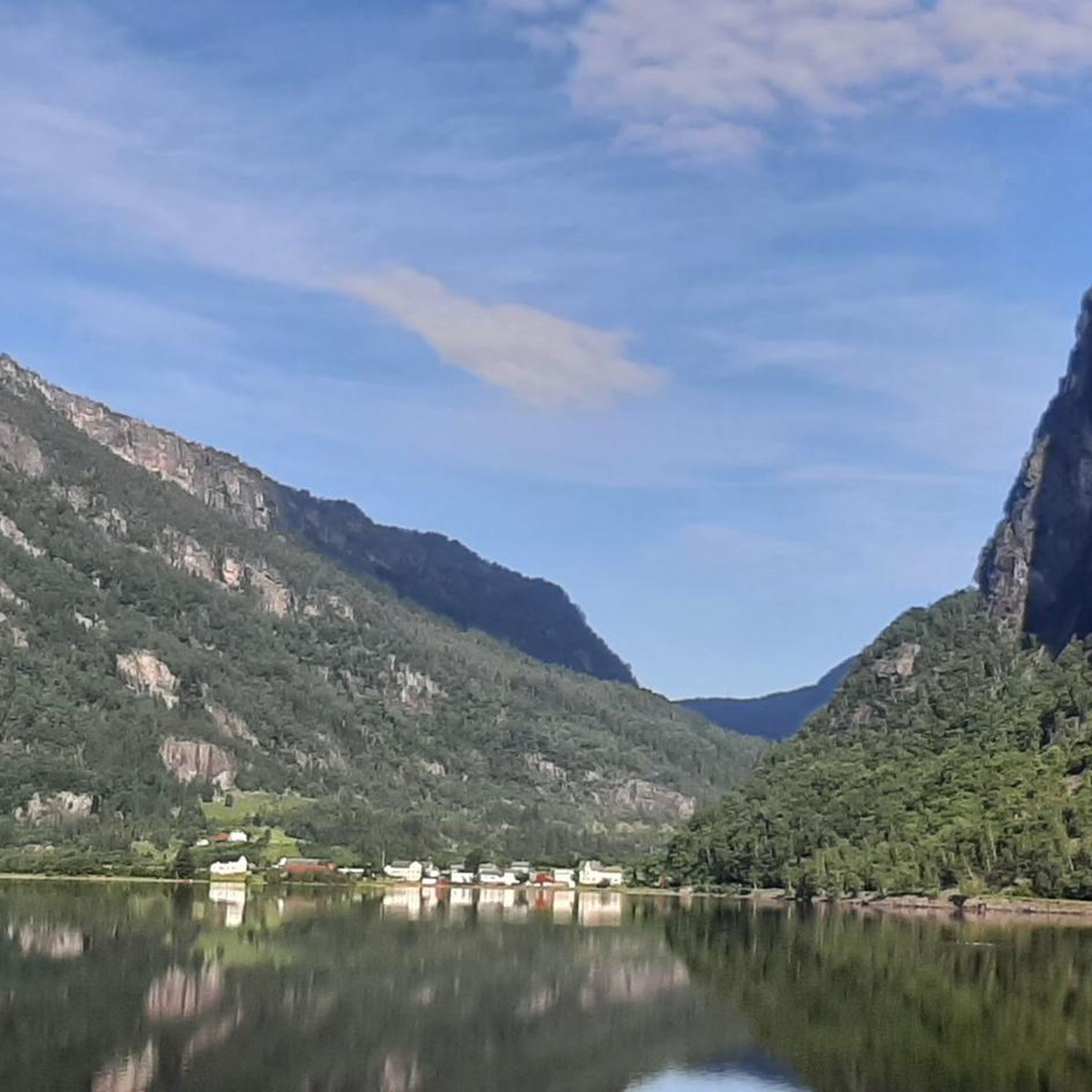
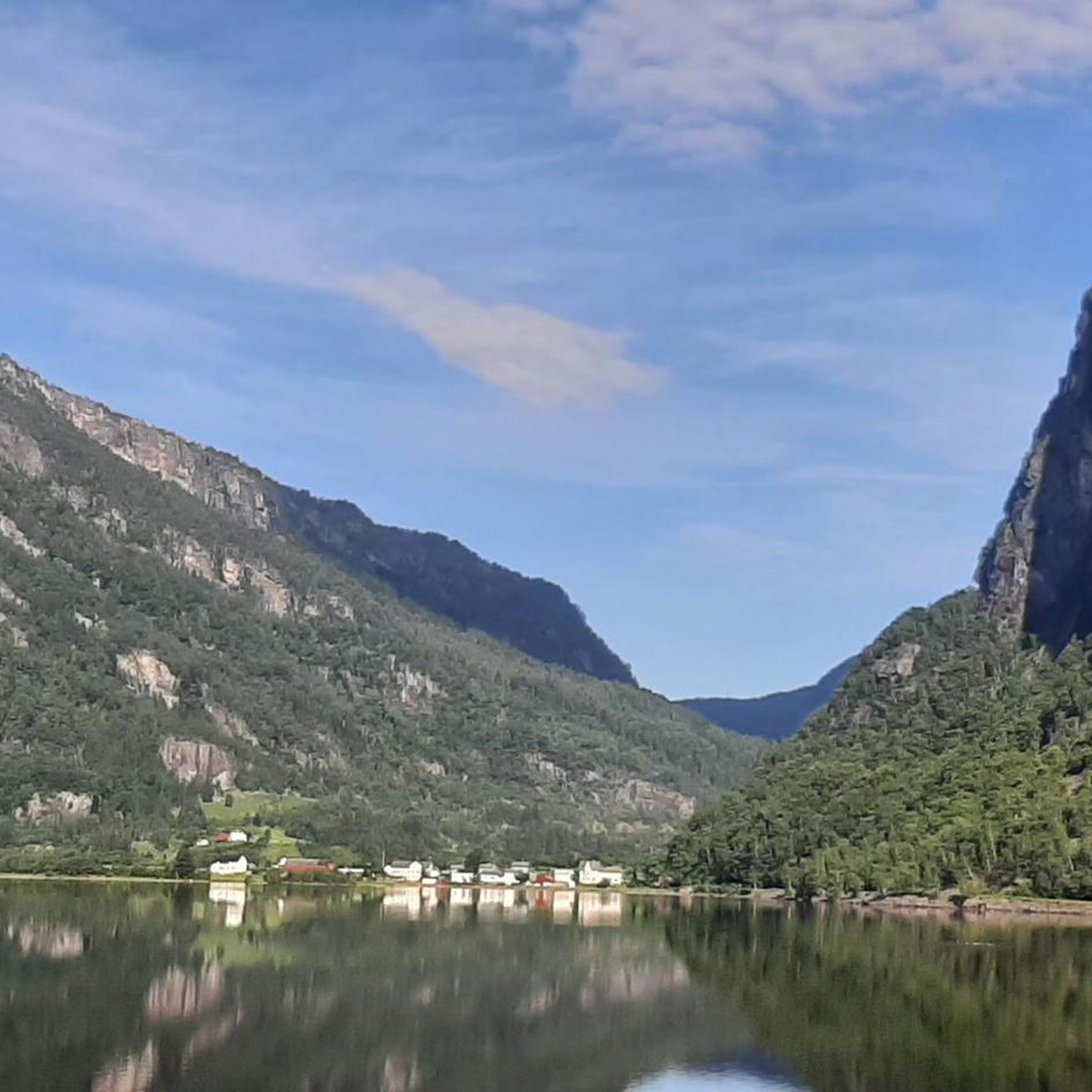
Road cycling around Granvinsvatnet offers diverse routes through a landscape characterized by the 4.05-square-kilometer lake, surrounding green hills, and dramatic mountains. Many paths utilize old railway lines, providing quiet, paved surfaces ideal for cycling along the lake's edge. The terrain includes dedicated cycleways and quiet roads, with some segments potentially unpaved, catering to various preferences. This region in Voss Municipality, Vestland county, Norway, provides a blend of tranquil lakeside paths and scenic routes.
Best road cycling routes around Granvinsvatnet
- The most popular road cycling route is Skjervsfossen – Bjørgo Wooden Bridge loop from Granvin, a 36.9 miles (59.5 km) trail that takes 3 hours 16 minutes to complete. This difficult route features significant elevation gain and views of the surrounding natural landscape, including Skjervsfossen waterfall.
- Another top favourite among local road cyclists is Mønshaugen – Rognsfossen loop from Stolen, an easy 16.6 miles (26.8 km) path. This route offers scenic views along the lake and through the local countryside.
- Local road cyclists also love the Verafossen – Tveiti loop from Ulvik Kraftverk, a 25.7 miles (41.4 km) trail leading through varied terrain with views of waterfalls, often completed in about 2 hours 13 minutes.
- Road cycling around Granvinsvatnet is defined by tranquil lakeside paths, old railway lines, and green hills and mountains. The network offers options for different ability levels, from moderate rides to more challenging routes with significant elevation.
- The routes in Granvinsvatnet are highly rated by the komoot community with an average score of 5.0 stars from 1 review. More than 100 road cyclists have used komoot to explore Granvinsvatnet's varied terrain.
Last updated: July 1, 2026
54
riders
59.5km
03:16
930m
930m
Hard road ride. Very good fitness required. Mostly well-paved surfaces and easy to ride.
6
riders
26.8km
01:27
280m
280m
Easy road ride. Great for any fitness level. Mostly well-paved surfaces and easy to ride.

Sign up for free
5.0
(1)
36
riders
79.6km
04:08
1,240m
1,240m
Hard road ride. Very good fitness required. Mostly well-paved surfaces and easy to ride.
14
riders
107km
05:24
1,500m
1,500m
Hard road ride. Very good fitness required. Some segments of this route may be unpaved and difficult to ride.
6
riders
41.4km
02:13
760m
760m
Moderate road ride. Good fitness required. Mostly well-paved surfaces and easy to ride.
Our route recommendations are based on thousands of hikes, rides, and runs completed by other people on komoot.
Start today with a free account
Your next adventure awaits.
Login or Signup
Popular around Granvinsvatnet
Tips from the Community

Bridge along the cycle path to Voss. Shelter from the rain.
0
0


Mainly wooden bridge over the road in Bjørgo
0
0
Frequently Asked Questions
What kind of terrain can I expect on road cycling routes around Granvinsvatnet?
The road cycling routes around Granvinsvatnet offer a mix of terrain. You'll find dedicated cycleways and quiet roads, with many paths utilizing old railway lines that provide mostly paved and quiet surfaces. While generally well-suited for road bikes, some segments might be unpaved. The landscape features tranquil lakeside paths, green hills, and mountains, providing varied scenery.
Are there routes suitable for different fitness levels?
Yes, Granvinsvatnet offers routes for various fitness levels. While many routes involve significant elevation, there are options ranging from moderate to difficult. For example, the Lussand - The Old Road loop from Utne is a moderate 31.3 km path, while more challenging rides like the Skjervsfossen – Bjørgo Wooden Bridge loop from Granvin cover 59.5 km with substantial elevation gain.
What natural features and landmarks can I see while cycling around Granvinsvatnet?
Cyclists can enjoy stunning natural beauty and historical landmarks. The routes often provide picturesque views of Granvinsvatnet itself, reflecting green hills and mountains. You might pass by the Granvin Delta, an important natural area with rich birdlife, and the Storelvi River. The historic Granvin Church is situated along the eastern shore of the lake, and many routes incorporate sections of old railway lines, including tunnels and bridges, adding a historical element to your ride.
Are there any family-friendly cycling routes in the Granvinsvatnet area?
The area's network of paths, particularly those utilizing old railway lines, can be suitable for families. These sections often provide quiet, paved surfaces away from heavy traffic, ideal for a more relaxed ride. While specific 'easy' routes are limited, the Raundalselvi loop from Filipshaugen is an easier 27.5 km trail that leads through river valleys and rural areas, which might be a good option for families.
Can I find circular road cycling routes around Granvinsvatnet?
Yes, several routes around Granvinsvatnet are designed as loops, allowing you to start and end in the same location. Examples include the Skjervsfossen – Bjørgo Wooden Bridge loop from Granvin and the Lussand - The Old Road loop from Utne, offering varied distances and challenges.
What is the best time of year for road cycling around Granvinsvatnet?
The best time for road cycling around Granvinsvatnet is typically during the warmer months, from late spring through early autumn. During this period, the weather is generally milder, and the scenic routes are fully accessible, allowing you to fully enjoy the tranquil lakeside paths and mountain views. Always check local weather conditions before heading out.
Where can I park my car when cycling in Granvinsvatnet?
While specific parking locations are not detailed for every route, starting points for many tours, such as Granvin, Utne, or Filipshaugen, typically offer parking facilities. It's advisable to check the specific route details on komoot for information regarding parking at the trailhead or nearest village.
Are there cafes or accommodation options for cyclists near Granvinsvatnet?
The Granvinsvatnet area, particularly around the village of Eide (Granvin), offers local amenities. You can find cafes and potentially accommodation options in the villages along or near the lake, providing convenient stops for refreshments or overnight stays during your cycling trip.
How many road cycling routes are available in the Granvinsvatnet region?
There are 7 road cycling routes available around Granvinsvatnet, catering to various preferences and skill levels. These include routes ranging from moderate to difficult, with options for different distances and elevation gains.
What do other cyclists say about road cycling in Granvinsvatnet?
The road cycling experience around Granvinsvatnet is highly rated by the komoot community, with an average score of 5.0 stars. Cyclists often praise the tranquil lakeside paths, the unique experience of riding along old railway lines, and the stunning natural scenery of green hills and mountains reflected in the lake.
Is public transport available to reach the cycling routes around Granvinsvatnet?
The Granvinsvatnet area is part of Voss Municipality, which has public transport connections. While direct public transport to every trailhead might vary, it is generally possible to reach the main villages like Granvin by bus, which could serve as a starting point for your cycling adventures. Check local bus schedules for the most current information.
What is the longest road cycling route in the Granvinsvatnet area?
The longest road cycling route listed in the immediate Granvinsvatnet area is the Bjørgo Wooden Bridge – Skjervsfossen loop from Kløve, which spans 79.6 km and features over 1200 meters of elevation gain, making it a challenging ride.

Get inspired with the komoot mobile app


Explore more
Browse the best Road cycling routes in other regions.
