The best mountain hikes around Nedre Sjodalsvatnet
5.0
(7)
23
hikers
2
hikes
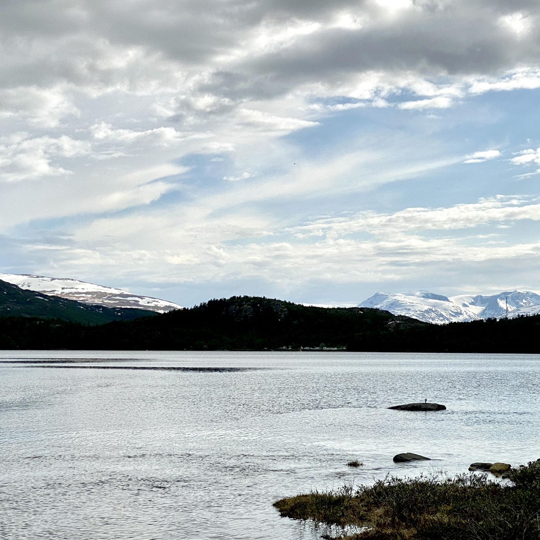
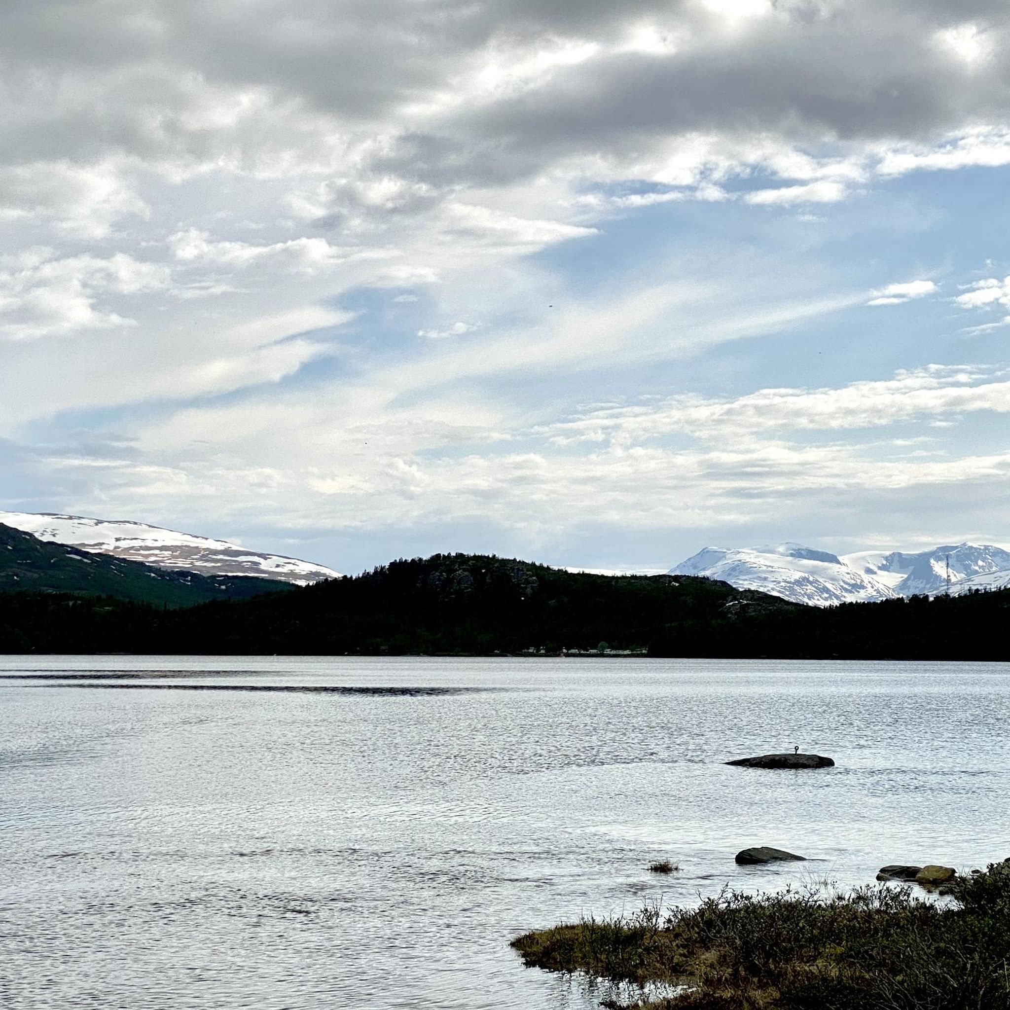
Mountaineering routes around Nedre Sjodalsvatnet are situated within the Sjodalen valley, an area characterized by high mountains, mountain pastures, and ancient forests. The region borders Jotunheimen National Park, offering access to peaks exceeding 2,000 meters. The Sjoa River flows through the valley, adding to the diverse terrain and natural features. This landscape provides varied elevation and difficulty for mountaineering.
Best mountaineering routes around Nedre Sjodalsvatnet
- The most popular mountaineering route is Bridge over the Sjoa – Mountain panorama with lake…
Last updated: May 13, 2026
5.0
(1)
2
hikers
Easy mountaineering route. Great for any fitness level. Easily-accessible paths. Suitable for all skill levels.
5.0
(2)
5
hikers
10.2km
03:43
490m
490m
Moderate mountaineering route. Good fitness required. Mostly accessible paths. Sure-footedness required.

Sign up for free
5.0
(2)
7
hikers
16.0km
05:33
670m
670m
Hard mountaineering route. Very good fitness required. Mostly accessible paths. Sure-footedness required.
5.0
(2)
9
hikers
18.3km
07:26
920m
920m
Hard mountaineering route. Very good fitness required. Mostly accessible paths. Sure-footedness required.
Our route recommendations are based on thousands of hikes, rides, and runs completed by other people on komoot.
Start today with a free account
Your next adventure awaits.
Login or Signup
Popular around Nedre Sjodalsvatnet
Tips from the Community

From the wooden bridge that crosses the stream, you can admire both the crystal-clear color of the torrent's waters and its power. A stop like an entrance into the wild world.
0
0

A very beautiful, multi-tiered waterfall. Definitely worth a visit.
0
0

Café Gjendeosen enjoys an enviable spot by the ferry terminal looking across Gjende lake. It's a nice place to grab a drink before taking the ferry. A coffee here tastes even better if you've just completed the Besseggen Ridge, a Norwegian classic!
0
0
At 5,718 feet (1,743 m), Veslfjellet is the highest point on the famous Besseggen Ridge. In contrast to some of the narrower sections on the route, the summit is relatively broad but the views are still spectacular.
0
0


Great view, water resupply and a nice place to spend the night
0
1

The summit itself is far less spectacular than the ridge.
3
0
Here are just the last steps of the hike.
3
0
Frequently Asked Questions
What kind of terrain can I expect on mountaineering routes around Nedre Sjodalsvatnet?
The Nedre Sjodalsvatnet area, nestled in the Sjodalen valley, offers a diverse landscape for mountaineering. You'll encounter high mountains, broad valleys, ancient forests, and mountain pastures. The Sjoa River also flows through the valley, adding to the varied natural features. This region borders Jotunheimen National Park, providing access to peaks exceeding 2,000 meters.
Are there any easy mountaineering routes suitable for beginners or a more relaxed experience?
Yes, there are options for easier mountaineering. For instance, the Bridge over the Sjoa – Mountain panorama with lake loop from Russlie is an easy 3.4-mile (5.5 km) route that offers panoramic views with a gentle elevation gain, typically taking less than 1.5 hours to complete.
Can I find routes with significant elevation gain for a more challenging mountaineering experience?
Absolutely. For those seeking a challenge, routes like the Veslfjellet Summit loop from Gjendesheim long-term parking offer substantial ascents. This difficult route covers about 11 miles (17.8 km) with over 2,990 feet (912 meters) of elevation gain, providing a demanding and rewarding experience.
Are there any circular mountaineering routes in the Nedre Sjodalsvatnet area?
Yes, several routes are designed as loops, allowing you to start and end at the same point. Examples include the easy Bridge over the Sjoa – Mountain panorama with lake loop from Russlie, and the more challenging Waterfall Near Bessvatnet – Bessvatnet loop from Bessa minikraftverk, which explores the area around Bessvatnet.
What natural features or landmarks can I expect to see along the mountaineering routes?
The region is rich in natural beauty. You can expect to see the glacial Sjoa River, which flows through the valley, and potentially waterfalls, such as those near Bessvatnet. The routes also offer stunning mountain panoramas and views of lakes, all set against the backdrop of the high mountains bordering Jotunheimen National Park.
What do other mountaineers say about the routes in Nedre Sjodalsvatnet?
The mountaineering routes in Nedre Sjodalsvatnet are highly regarded by the komoot community, with an average score of 5.0 stars from over 8 reviews. More than 30 mountaineers have used komoot to explore the varied terrain, often praising the stunning mountain panoramas and the diverse landscape.
Are there any routes that feature waterfalls?
Yes, if you're looking to incorporate waterfalls into your mountaineering trip, consider routes like the Waterfall Near Bessvatnet – Bessvatnet loop from Bessa minikraftverk or the Waterfall Near Bessvatnet – Bessvatnet loop from Gjendesheimkrysset. Both of these routes explore the scenic area around Bessvatnet, where you can find impressive waterfalls.
What is the typical duration for mountaineering routes in this area?
The duration varies significantly depending on the route's length and difficulty. An easy route like the Bridge over the Sjoa – Mountain panorama with lake loop from Russlie can be completed in under 1.5 hours. More challenging routes, such as the Waterfall Near Bessvatnet – Bessvatnet loop from Gjendesheimkrysset, might take around 5.5 hours, while the most difficult ascents can extend to over 7 hours.
Is Nedre Sjodalsvatnet a good base for exploring Jotunheimen National Park?
Yes, Nedre Sjodalsvatnet is an excellent base for exploring Jotunheimen National Park. The region lies at the edge of the park, providing convenient access to its numerous peaks exceeding 2,000 meters, including Galdhøpiggen, Northern Europe's highest mountain. This makes it ideal for challenging mountaineering expeditions.
Are there any famous hiking spots nearby that I can combine with mountaineering?
Just 20 kilometers south of Sjodalen, you'll find the renowned Besseggen ridge and Gjende lake. The Besseggen hike is one of Norway's most popular and scenic, famous for its panoramic views of emerald lakes and rugged peaks. While not a mountaineering route itself, it's a fantastic option to combine with your visit to the area.
What other outdoor activities are available in the Sjodalen valley besides mountaineering?
The Sjodalen valley offers a wide array of activities. You can enjoy cycling on extensive gravel roads, white-water rafting on the Sjoa River, kayaking, fishing, and swimming. In winter, it's a haven for cross-country skiing and dogsledding. Family-friendly options like a fairytale forest path and an outdoor escape room are also available.

Get inspired with the komoot mobile app


Explore more
Browse the best Mountain Hikes & Routes in other regions.
