The best walks and hikes around Storvatnet
4.2
(5)
61
hikers
5
hikes
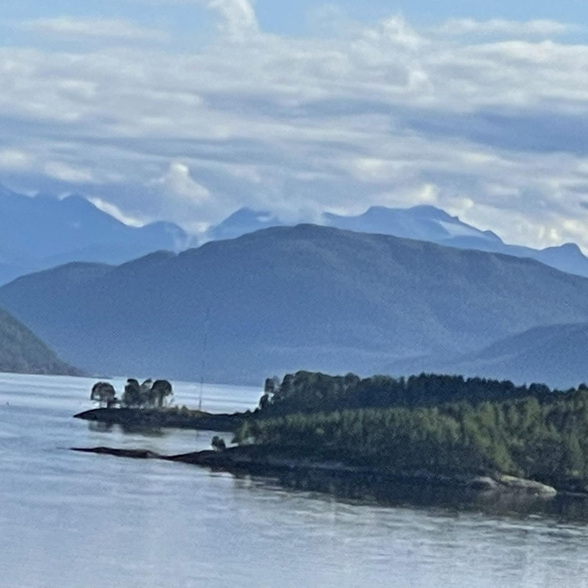
Hiking trails around Storvatnet offer a diverse landscape characterized by rugged mountains, crystal-clear lakes, and picturesque coastlines in the Møre og Romsdal region. The area features varied topography, ranging from lush forests to dramatic mountain peaks. Many routes provide expansive views over Storvatnet and the surrounding fjords, with some trails leading to vantage points like Valfjellet at 526 meters.
Best hiking trails around Storvatnet
- The most popular hiking route is Klubben – Kamlia loop from Gammelsetra, a 4.9 miles (7.9 km) trail that takes 2 hours 49 minutes to complete. This moderate loop offers significant elevation gain and scenic views.
- Another top favourite among local hikers is Holtaskaret loop from Slåa hyttefelt, an easy 3.9 miles (6.3 km) path. This route features a more gentle elevation profile, making it accessible for a wider range of hikers.
- Local hikers also love the Stabbskaret loop from Vasselen, a 5.2 miles (8.4 km) trail leading through varied terrain with significant ascents, often completed in about 3 hours 32 minutes.
- Hiking around Storvatnet is defined by rugged mountains, crystal-clear lakes, and coastal scenery. The network offers options for different ability levels, from easy walks to more challenging ascents.
- The routes in Storvatnet are highly rated by the komoot community with an average score of 4.25 stars from over 4 reviews. More than 60 hikers have used komoot to explore Storvatnet's varied terrain.
Last updated: July 10, 2026
10
hikers
7.94km
02:49
430m
430m
Moderate hike. Good fitness required. Easily-accessible paths. Suitable for all skill levels.
4.0
(2)
11
hikers
6.34km
01:51
160m
160m
Easy hike. Great for any fitness level. Easily-accessible paths. Suitable for all skill levels.

Sign up for free
4.0
(1)
6
hikers
8.39km
03:31
510m
520m
Moderate hike. Good fitness required. Mostly accessible paths. Sure-footedness required.
11
hikers
5.26km
02:45
650m
650m
Moderate hike. Good fitness required. Mostly accessible paths. Sure-footedness required.
7
hikers
11.2km
04:30
860m
850m
Moderate hike. Good fitness required. Mostly accessible paths. Sure-footedness required.
Our route recommendations are based on thousands of hikes, rides, and runs completed by other people on komoot.
Start today with a free account
Your next adventure awaits.
Login or Signup
Popular around Storvatnet
Tips from the Community

The view over Storvatnet is magnificent. With a bit of luck, you can see many birds.
0
0
The trail leads over a narrow land bridge past Fjellsetervatnet. A good place for a break and a picnic.
0
0
Take time for a break and enjoy the view from the 526-metre-high Valfjellet.
0
0
Frequently Asked Questions
How many hiking trails are available around Storvatnet?
There are over 7 hiking trails documented on komoot around Storvatnet, offering a diverse range of experiences for outdoor enthusiasts.
Are there easy hiking options suitable for beginners or families?
Yes, Storvatnet offers several easy hiking options. For a gentle path with a more accessible elevation profile, consider the Holtaskaret loop from Slåa hyttefelt, which is 3.9 miles (6.3 km) long.
What kind of views can I expect on hikes around Storvatnet?
Hikers around Storvatnet are treated to magnificent panoramic views. Many trails lead to vantage points offering breathtaking scenery over the crystal-clear lake, rugged mountains, and picturesque coastlines. From peaks like Valfjellet, you can enjoy expansive views from a height of 526 meters, often spotting various bird species.
Are there any challenging hikes for experienced trekkers?
While there are no trails classified as 'difficult' in our current selection, many moderate routes feature significant elevation gains and varied terrain that can be challenging. For instance, the Stabbskaret loop from Vasselen is 5.2 miles (8.4 km) with substantial ascents, providing a good workout for experienced hikers.
Are there any circular hiking routes around Storvatnet?
Yes, many of the trails around Storvatnet are circular, allowing you to start and end at the same point. Examples include the Round trip to Valfjellet, which offers a rewarding loop experience with great views.
What natural features or landmarks can I see while hiking?
The region is rich in natural beauty. You'll encounter rugged mountains, crystal-clear lakes, and stunning coastal scenery. Some trails pass over narrow land bridges near smaller lakes, perfect for breaks. The area also offers opportunities for wildlife observation, particularly various bird species like whooper swans and grebes.
Is Storvatnet a good destination for dog-friendly walks?
Storvatnet's diverse landscape and numerous trails make it a great place for walks with dogs, provided they are kept on a leash where required and you follow local regulations. The varied terrain, from lush forests to open paths, offers plenty of stimulation for your canine companion.
What do other hikers enjoy most about hiking in Storvatnet?
The area is highly rated by the komoot community, with an average score of 4.25 stars from over 4 reviews. Hikers frequently praise the stunning panoramic views, the crystal-clear waters of Storvatnet, and the diverse landscape that ranges from rugged mountains to serene coastlines.
Are there any hikes that offer coastal views or access to beaches?
Absolutely. The region around Storvatnet features spectacular views of the coast and sandy beaches. In areas like Storvatnet-Bleik, you can find trails that lead to dramatic mountain peaks with views of turquoise blue seas and golden sands, such as those found at Fjordbotn Beach.
What is the typical duration for hikes in this area?
Hike durations vary depending on the route and your pace. For example, the Klubben – Kamlia loop from Gammelsetra typically takes around 2 hours 49 minutes, while the Gammelvetten – Vettaskaret loop from Tingvollfjorden is a moderate 5.15 miles (8.3 km) route that can take approximately 2 hours 42 minutes.
Is there parking available at the trailheads?
While specific parking details for every trailhead are not always listed, many popular hiking areas in Norway, including those around Storvatnet, typically have designated parking spaces near the starting points of trails. It's advisable to check local signage upon arrival.
Most popular routes around Storvatnet

Get inspired with the komoot mobile app


Explore more
Browse the best Hikes in other regions.
