The best walks and hikes in the Cordillera Chontalena
4.9
(9)
48
hikers
6
hikes
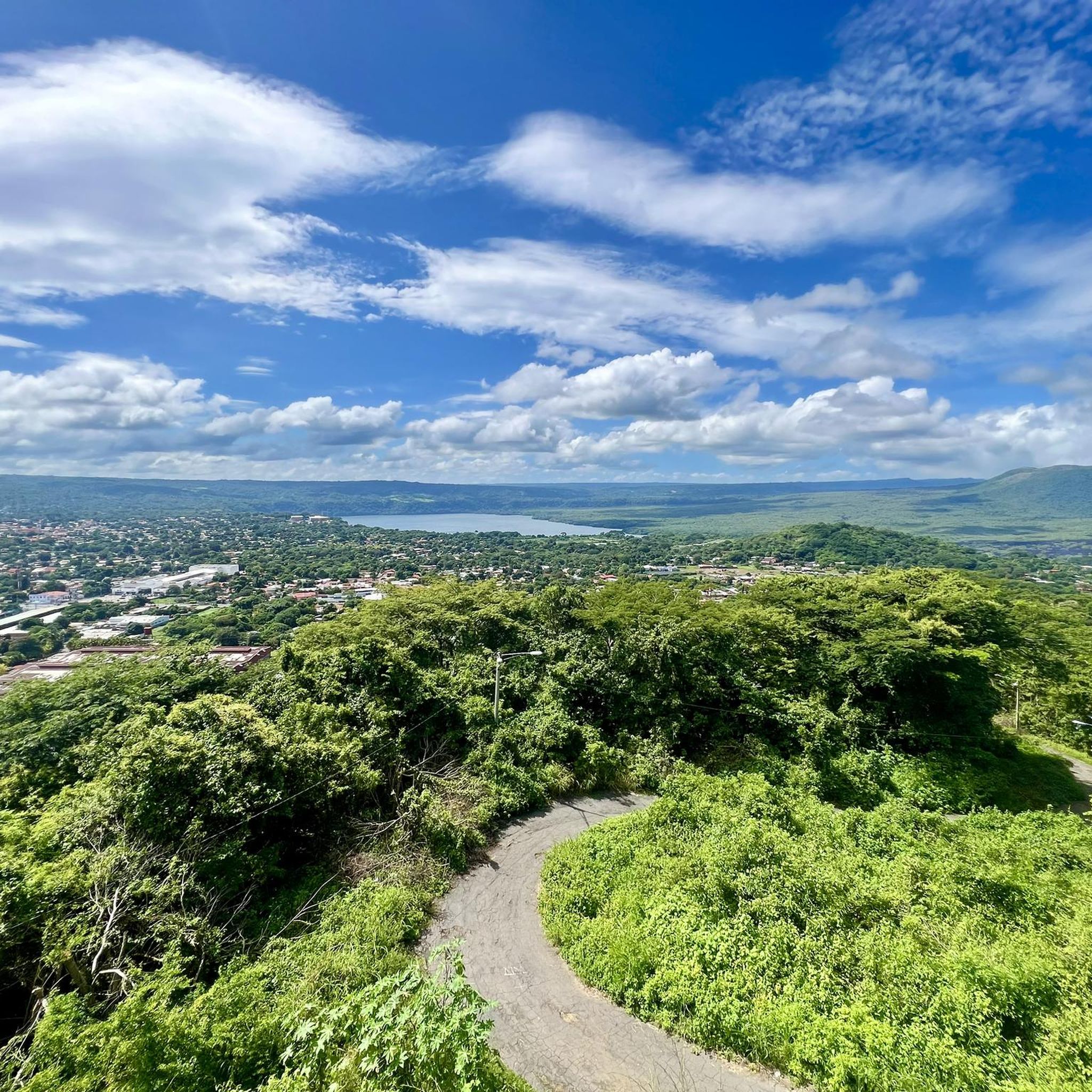
Hiking in the Cordillera Chontalena offers diverse landscapes, from extensive plains and plateaus to volcanic hills and lush rainforests. The region is characterized by the Cordillera Chontalena itself, a significant hill, and the prominent Serranía de Amerrisque. It serves as a watershed, with rivers flowing towards both the Caribbean and Lake Nicaragua, contributing to varied hydrology and scenery. The elevation range supports a wide array of flora and fauna, making it a climate transition zone.
Best hiking trails in the…
Last updated: May 28, 2026
4.6
(5)
16
hikers
12.9km
04:14
580m
580m
Moderate hike. Good fitness required. Easily-accessible paths. Suitable for all skill levels.
5.0
(1)
9
hikers
8.30km
02:51
420m
420m
Moderate hike. Good fitness required. Easily-accessible paths. Suitable for all skill levels.

Sign up for free
5.0
(3)
13
hikers
Easy hike. Great for any fitness level. Easily-accessible paths. Suitable for all skill levels.
6
hikers
2.54km
00:44
70m
70m
Easy hike. Great for any fitness level. Easily-accessible paths. Suitable for all skill levels.
3
hikers
3.00km
00:52
80m
80m
Easy hike. Great for any fitness level. Easily-accessible paths. Suitable for all skill levels.
Our route recommendations are based on thousands of hikes, rides, and runs completed by other people on komoot.
Start today with a free account
Your next adventure awaits.
Login or Signup
Popular around Cordillera Chontalena
Tips from the Community

Get a free map of the forest here
0
0
Frequently Asked Questions
How many hiking trails are available in the Cordillera Chontalena?
The Cordillera Chontalena offers a selection of 6 hiking routes. These include trails suitable for various fitness levels, from easy walks to more moderate routes.
What makes hiking in the Cordillera Chontalena unique?
Hiking in the Cordillera Chontalena provides a diverse experience, ranging from volcanic hills and plateaus to lush rainforests and lake shores. The region is a significant watershed, contributing to varied hydrology and scenery, and its elevation supports a wide array of flora and fauna, making it a climate transition zone.
Are there easy hiking trails suitable for beginners or families in the Cordillera Chontalena?
Yes, the Cordillera Chontalena has 4 easy hiking trails. A good option for a relaxed outing is the Viewpoint towards Matagalpa – Chapel loop from Reserva Natural Cerro El Arenal, which is 2.5 miles (4.0 km) long and takes about 1 hour 26 minutes to complete.
Can I find circular hiking routes in the Cordillera Chontalena?
Yes, many of the trails in the Cordillera Chontalena are circular. For example, you can explore the Chapel – Viewpoint towards Matagalpa loop from Entrada a Palcila, which is a moderate 8.0 miles (12.8 km) route offering scenic views.
Are there any waterfalls to visit while hiking in the Cordillera Chontalena?
Yes, the region is home to captivating water features. The El Corozo Waterfalls, nestled within a lush rainforest, offer a natural spectacle with crystal-clear waters, perfect for observing local flora and fauna.
What kind of wildlife might I encounter on the trails?
The Cordillera Chontalena's diverse ecosystems support a wide array of wildlife. Hikers might spot various species of sloths, anteaters, rodents, and even carnivores like ocelots, margays, jaguars, and pumas, as the area serves as a climate transition zone.
Are there opportunities for wild swimming in the Cordillera Chontalena?
While specific designated swimming spots are not detailed, the region boasts several rivers like the Punta Gorda, Rama, Acoyapa, and Tule, as well as a shoreline on Lake Cocibolca (Lake Nicaragua). The El Corozo Waterfalls also offer clear waters that might be suitable for observing and enjoying the natural environment.
What is the best time of year to go hiking in the Cordillera Chontalena?
The Cordillera Chontalena, being in Nicaragua's central region, generally experiences a tropical climate. The dry season, typically from December to April, often provides more comfortable hiking conditions with less rain and cooler temperatures, making it ideal for outdoor activities.
Are there any historical or cultural sites to explore near the hiking trails?
Yes, the Chontales region has a rich archaeological heritage. You can visit the Gregorio Aguilar Archaeological Museum in Juigalpa, which houses pre-Columbian statuary. Additionally, the Piedras Pintadas Archaeological Park, near Santo Tomas, features over 1,500 indigenous engravings on large rocks, making it a significant historical site.
What do other hikers enjoy the most about hiking in Cordillera Chontalena?
The routes in Cordillera Chontalena are highly rated by the komoot community, with an average score of 4.8 stars. Hikers often praise the varied terrain, from volcanic hills to lush rainforests, and the scenic views, particularly towards Matagalpa, that many trails offer.
Are there any longer or more challenging hikes available?
Yes, for those seeking a more challenging experience, there are moderate routes. The Hiking loop from Matagalpa is a moderate 5.1 miles (8.1 km) path that winds through diverse landscapes, requiring a good level of fitness.
Most popular routes in the Cordillera Chontalena

Get inspired with the komoot mobile app


Explore more
Browse the best Hikes in other regions.
