The best waterfall hikes and walks around Verwaltungskreis Thun
4.6
(2961)
21,710
hikers
4
hikes
Waterfall hiking trails around Verwaltungskreis Thun are characterized by diverse natural landscapes, including the expansive Lake Thun and the dramatic backdrop of the Bernese Alps. The region features a mix of lakeside paths, dense forested areas, and open meadows, with prominent peaks like Niesen and Stockhorn. Valleys such as the Zulg Valley and Justistal offer river trails and rich alpine scenery, while the Aare River provides additional riverside walking opportunities.
Best waterfall hiking trails around Verwaltungskreis Thun
- The most popular…
Last updated: October 24, 2026
4.6
(10)
65
hikers
10.4km
03:41
550m
550m
Moderate hike. Good fitness required. Mostly walkable paths. Sure-footedness required.
5.0
(2)
28
hikers
15.8km
07:27
1,250m
1,250m
Hard hike. Very good fitness required. Sure-footedness, sturdy shoes and alpine experience required.

5.0
(1)
3
hikers
22.4km
07:22
1,030m
1,030m
Hard hike. Very good fitness required. Easily walkable paths.
Our route recommendations are based on thousands of hikes, rides, and runs completed by other people on komoot.
Start today with a free account
Your next adventure awaits.
Popular around Verwaltungskreis Thun

Waterfall hikes around Thunersee

Waterfall hikes around Amsoldingersee

Waterfall hikes around Übeschisee
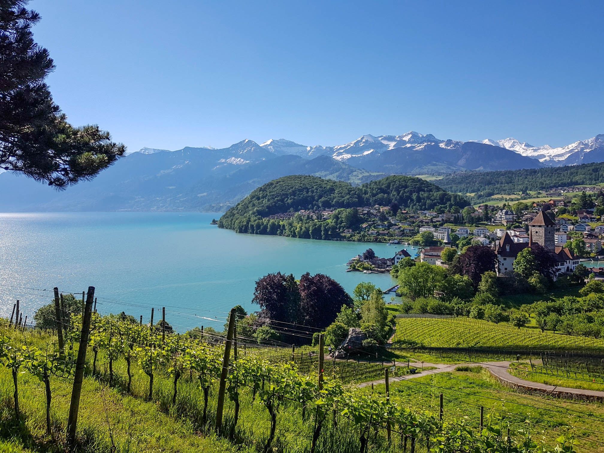
Panoramic circular trail around Switzerland's Lake Thun – Lake views at every turn
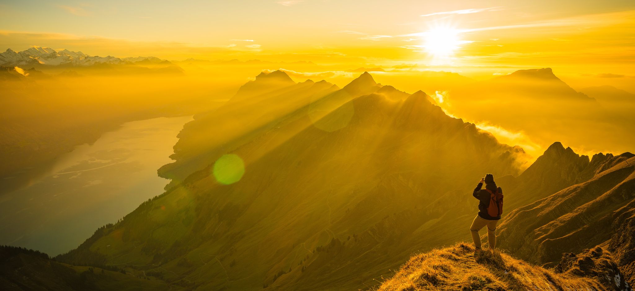
Mighty peaks and turquoise lakes – hiking in Interlaken in Switzerland
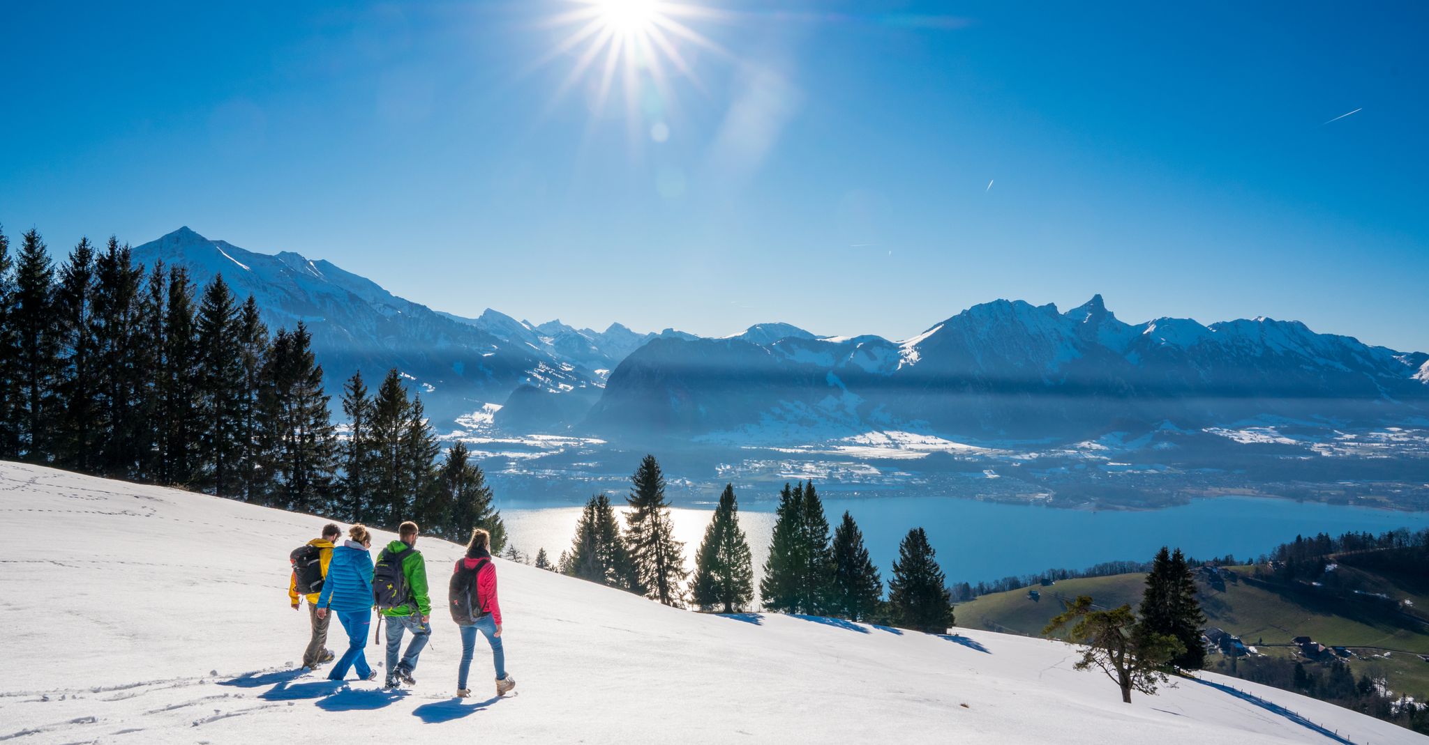
Let it snow! Winter hikes in the Bernese Oberland
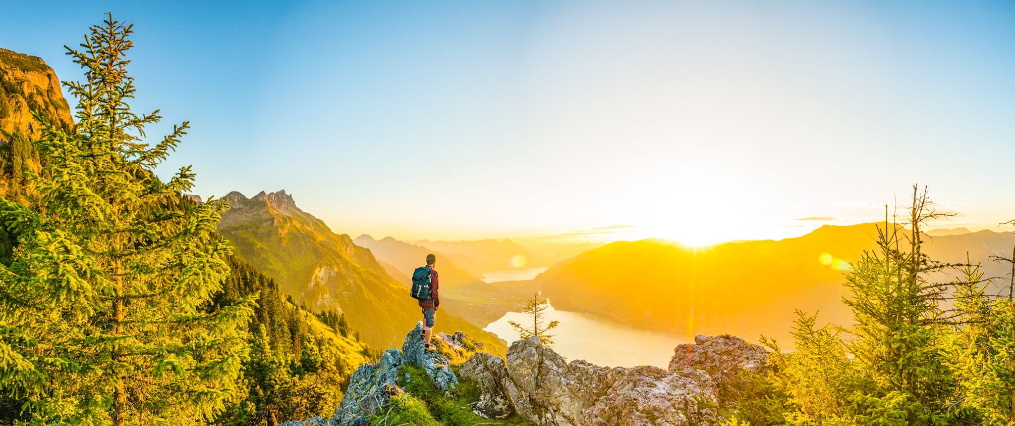
Magnificent Bernese Oberland – Hiking around Interlaken
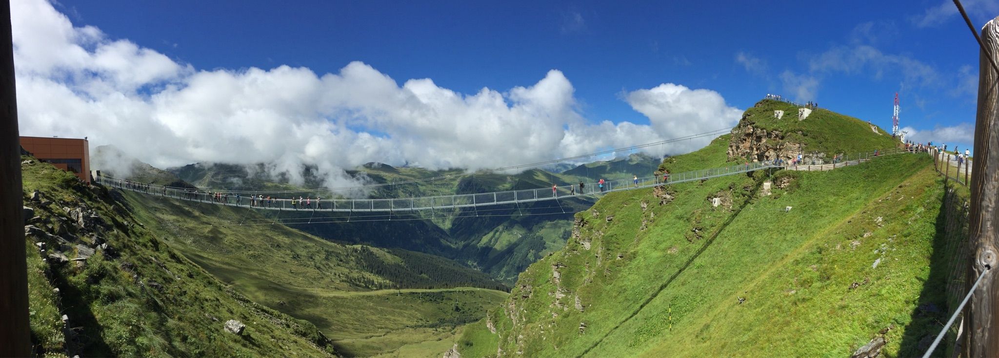
Spectacular suspension bridges
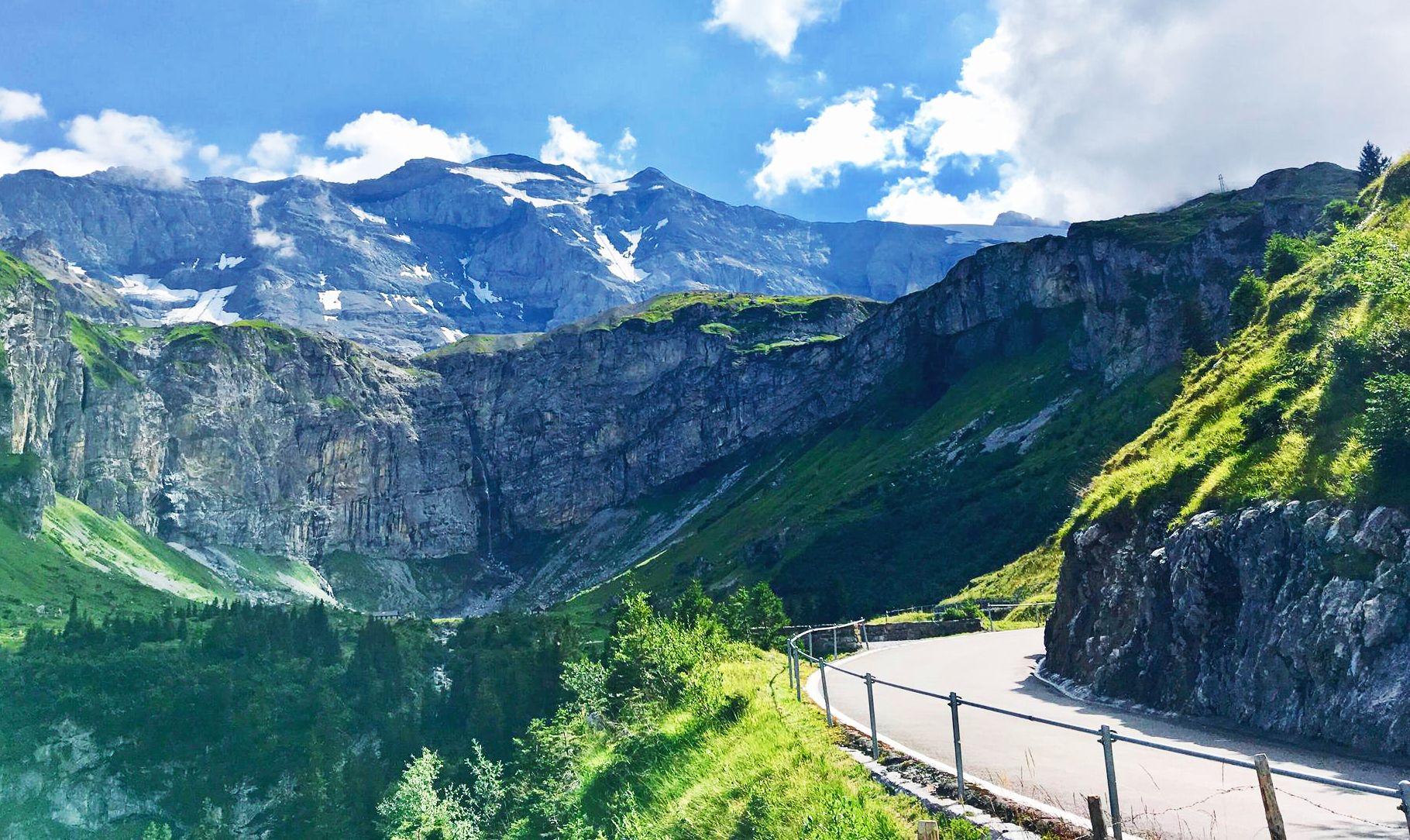
Alpine Panorama Route — 8 stages through the foothills of the Alps
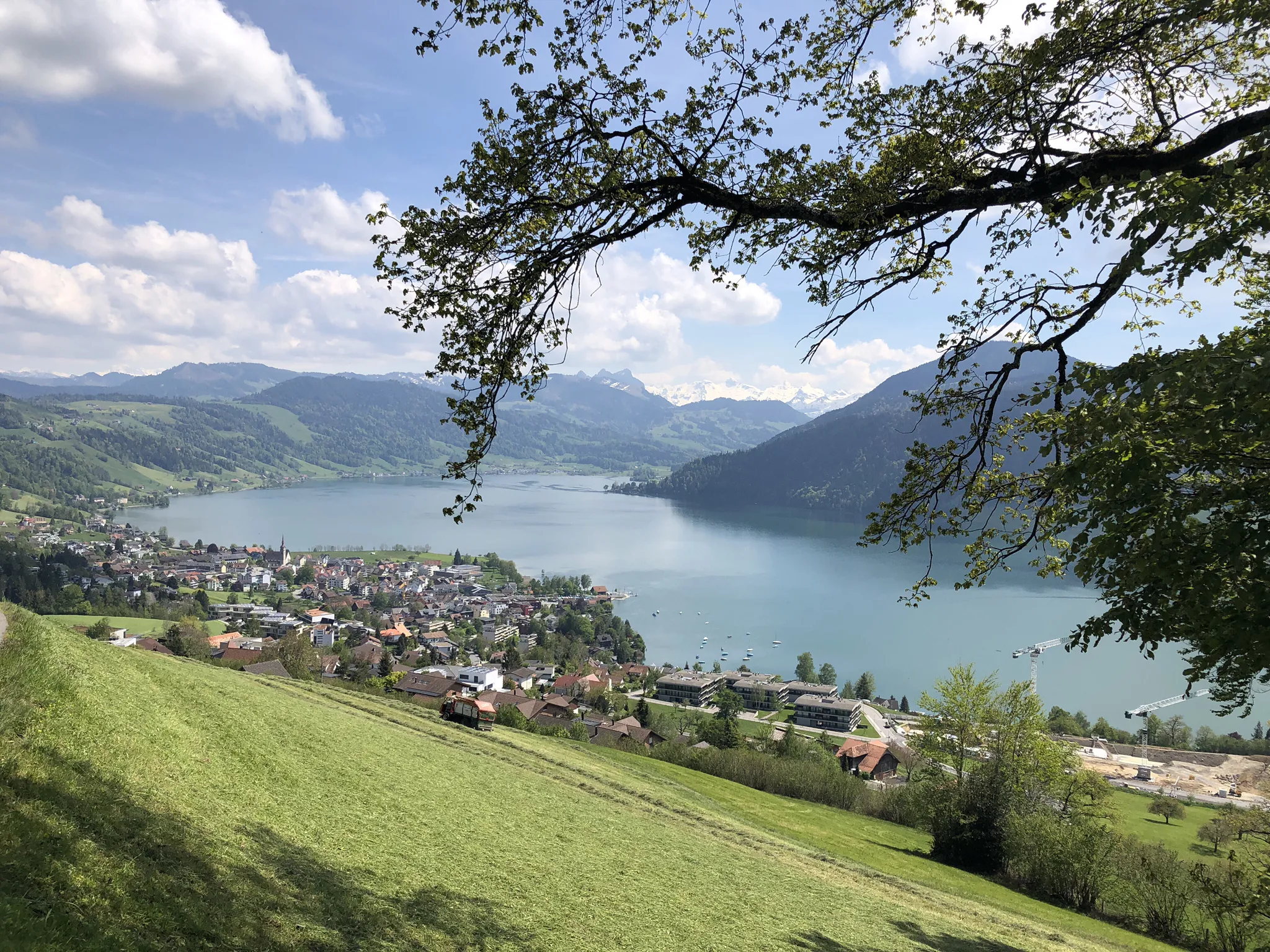
The Herzroute – Cycling through the heart of Switzerland
Other adventures around Verwaltungskreis Thun


Tips from the Community

The climb that start from Rüggisberg is very steep, Very good condition required. The other side is longer and with lower average gradient.
0
0

*** Grand Reopening on August 1, 2026 *** In the summer of 2026, the Gurnigel Berghaus celebrates its reopening after an extensive renovation. What was once a military accommodation now shines in an alpine chalet style and invites you to linger and relax. The Gurnigel Berghaus has been comprehensively renovated. Many of the materials come from the former Park-Hotel in Gstaad. The freshly renovated mountain house features 27 residential units such as hotel rooms, studios, lofts, and apartments. "We look forward to welcoming gravel bikers, bikers in the summer, and skiers or cross-country skiers in the winter, as well as companies and festive gatherings. Fundamentally, the offering in the Gantrisch region is aimed at nature-loving people who want to relax well. Whether through sports or relaxed lingering."
1
0

It's called Chatz u Muus (Cat and Mouse). That's because, from the Gürbe Valley, it looks as if a cat (Chatz) and a mouse (Muus) are sitting opposite each other. 🐁_🐈⬛
1
0
The panorama is magnificent. Despite the foothills of the Alps, you feel like you're on top of the world, especially above the sea of fog.
0
0

If there's a rock in the way of the hiking trail, we'll just make a hole through it ;-)
0
0

It doesn't always have to be the Brienzergrat. ;-)
0
0

Only during the week, otherwise there is too much traffic
1
0

In the summer months you can stop at the Alp Oberwirtneren and enjoy the view of the valley from there
3
0
Frequently Asked Questions
How many waterfall hiking trails are available in Verwaltungskreis Thun?
There are 7 dedicated waterfall hiking trails in Verwaltungskreis Thun, offering a range of experiences from moderate walks to more challenging ascents. These routes are highly rated by the komoot community, with an average score of 4.6 stars.
Are there any easy or beginner-friendly waterfall hikes in the region?
While there are no trails explicitly rated as 'easy' in this selection, several moderate routes are suitable for those with a reasonable fitness level. For example, the Fallbach Waterfall loop from Pohlern is a moderate 8.1 km path that can be completed in under 3 hours, offering a good option for beginners looking for a rewarding waterfall experience.
What are some of the most notable waterfalls or gorges to see on these hikes?
The region features several impressive natural water features. The Fallbach Waterfall is a prominent highlight, accessible on multiple routes like the Blumenstein Church – Fallbach Waterfall loop from Blumenstein. You can also explore the dramatic Cholerenschlucht Gorge, known for its unique rock formations and cascades, or the Zulgschwelle.
Are there any circular waterfall hiking routes?
Yes, many of the waterfall trails in Verwaltungskreis Thun are designed as circular routes, allowing you to start and end at the same point. Examples include the Eschwandenbach Waterfall – Iseltwald Harbor loop from Bönigen, which offers views of Lake Brienz, and the Möntschelealp – Fallbach Waterfall loop from Blumenstein, winding through alpine pastures.
What is the best time of year to hike to waterfalls in Verwaltungskreis Thun?
The spring and early summer months (April to June) are often ideal for waterfall hikes, as snowmelt from the Bernese Alps feeds the streams, making the waterfalls particularly powerful and spectacular. Autumn also offers beautiful scenery with vibrant foliage, though water levels might be lower. Always check local weather conditions before heading out.
Are the waterfall trails in Verwaltungskreis Thun suitable for families with children?
Many of the moderate trails can be suitable for families with older children who are accustomed to hiking. Routes like the Blumenstein Church – Fallbach Waterfall loop from Blumenstein offer scenic paths through varied landscapes. For younger children, consider shorter sections of these trails or look for routes with less elevation gain. The St. Beatus Caves, with their impressive waterfalls, also offer an adventurous family experience.
Can I bring my dog on waterfall hikes in this region?
Generally, dogs are welcome on hiking trails in Verwaltungskreis Thun, but it's always advisable to keep them on a leash, especially in nature reserves, near livestock, or in crowded areas. Be mindful of the trail difficulty and duration to ensure it's suitable for your dog's fitness level. Always carry water for your pet and clean up after them.
What kind of natural features can I expect to see besides waterfalls?
Beyond the waterfalls, the region boasts diverse natural beauty. You'll encounter the expansive Lake Thun, dramatic backdrops of the Bernese Alps with views of peaks like Niesen and Stockhorn, and even the iconic Eiger, Mönch, and Jungfrau. Trails often wind through dense forests, open meadows, and scenic valleys like the Zulg Valley, offering a rich variety of landscapes.
Are there any viewpoints or panoramic spots along the waterfall routes?
While the focus is on waterfalls, many trails offer stunning vistas of the surrounding Bernese Oberland. For instance, the Eschwandenbach Waterfall – Iseltwald Harbor loop from Bönigen provides views of Lake Brienz. For broader panoramas, consider routes that ascend to higher elevations, or visit nearby viewpoints like the Blueme Observation Tower, which offers expansive views of the region.
Are there places to eat or drink near the waterfall hiking trails?
Many villages and towns in Verwaltungskreis Thun, such as Blumenstein or Bönigen, offer cafes and restaurants where you can refuel after your hike. While specific establishments directly on the trails might be limited, you'll find options in the communities at the trailheads or nearby. It's always a good idea to pack snacks and water, especially for longer routes.
What are the typical durations for waterfall hikes in Verwaltungskreis Thun?
The duration of waterfall hikes varies depending on the route and your pace. Moderate trails like the Eschwandenbach Waterfall – Iseltwald Harbor loop from Bönigen typically take around 4 hours. More challenging routes, such as the difficult Homad (2,075 m) – Fallbach Waterfall loop from Blumenstein, can take over 7 hours to complete.
Are there any other attractions or points of interest near the waterfall trails?
Yes, the region is rich in attractions. Beyond the waterfalls, you can explore the fascinating Cholerenschlucht Gorge or visit the Confluence of the Zulg and Aare rivers. The St. Beatus Caves, located on Lake Thun, also feature impressive underground waterfalls and formations, offering a unique experience.
Most popular routes around Verwaltungskreis Thun
Most popular attractions around Verwaltungskreis Thun

Get inspired with the komoot mobile app


Didn’t find what you were looking for?
Check out more Hikes throughout Verwaltungskreis Thun below and find the perfect route in your destination.
