The best waterfall hikes and walks around Winnenden
4.5
(1172)
4,955
hikers
7
hikes
Waterfall hiking trails around Winnenden traverse a diverse landscape characterized by rolling hills, green meadows, and picturesque river valleys. The region features abundant forests and gorges, including the Strümpfelbach Valley Nature Reserve, which is known for its small waterfalls. Hikers can explore routes along the Rems and Buchenbach rivers, offering varied scenery. The terrain includes gentle gradients along stream banks and moderate climbs through wooded areas.
Best waterfall hiking trails around Winnenden
- The most popular waterfall hiking route is Grunbach…
Last updated: June 23, 2026
4.7
(64)
223
hikers
Moderate hike. Good fitness required. Easily-accessible paths. Suitable for all skill levels.
4.7
(20)
74
hikers
Moderate hike. Good fitness required. Easily-accessible paths. Suitable for all skill levels.

Sign up for free
4.8
(15)
28
hikers
Moderate hike. Good fitness required. Easily-accessible paths. Suitable for all skill levels.
4.8
(6)
34
hikers
Moderate hike. Good fitness required. Easily-accessible paths. Suitable for all skill levels.
4.5
(2)
17
hikers
Moderate hike. Good fitness required. Easily-accessible paths. Suitable for all skill levels.
Get access to more routes and recommendations from other explorers.
Sign up for free
Already have an account?
Our route recommendations are based on thousands of hikes, rides, and runs completed by other people on komoot.
Start today with a free account
Your next adventure awaits.
Login or Signup
Popular around Winnenden
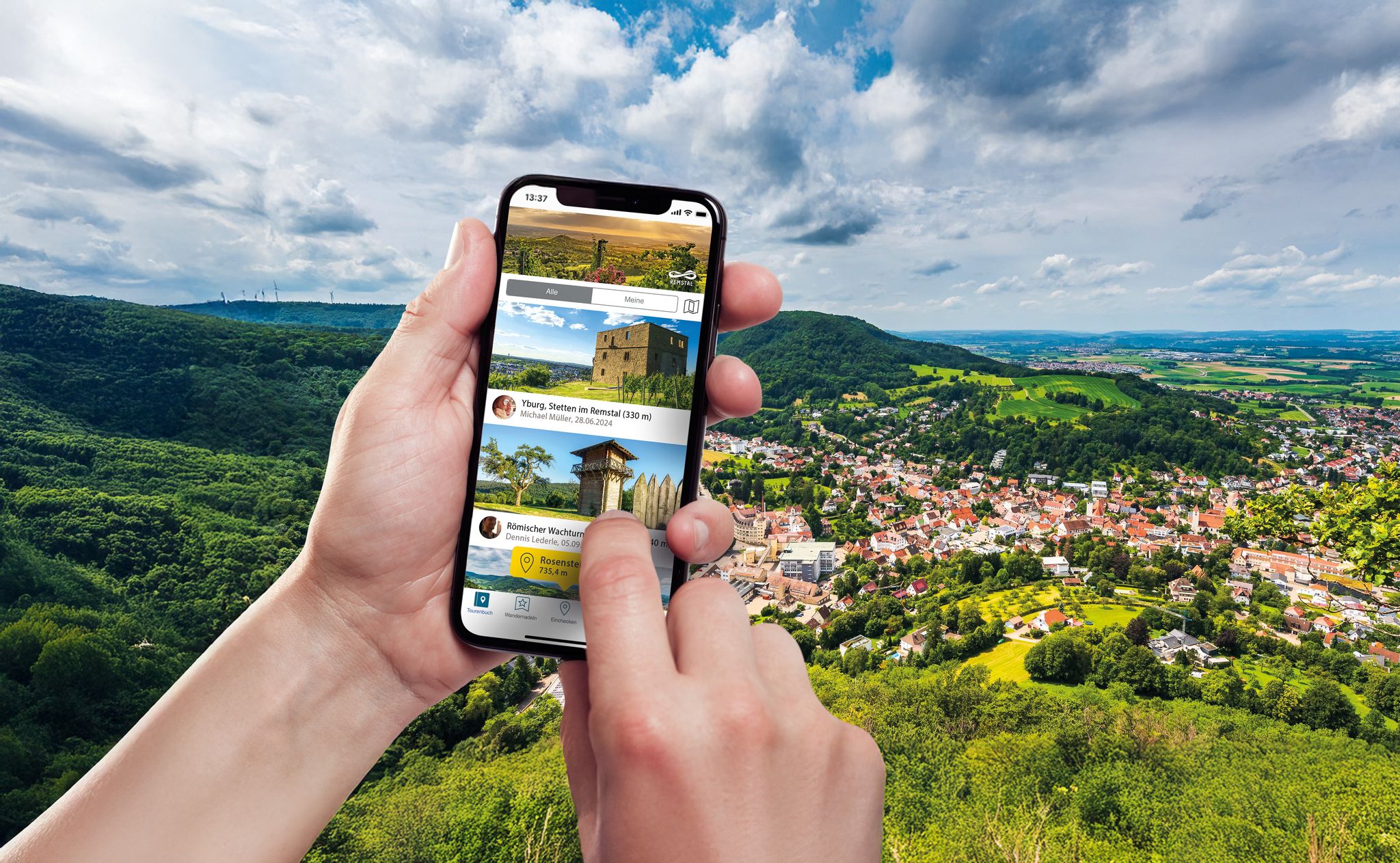
Hiking in the Remstal – digital hiking badges for real adventures
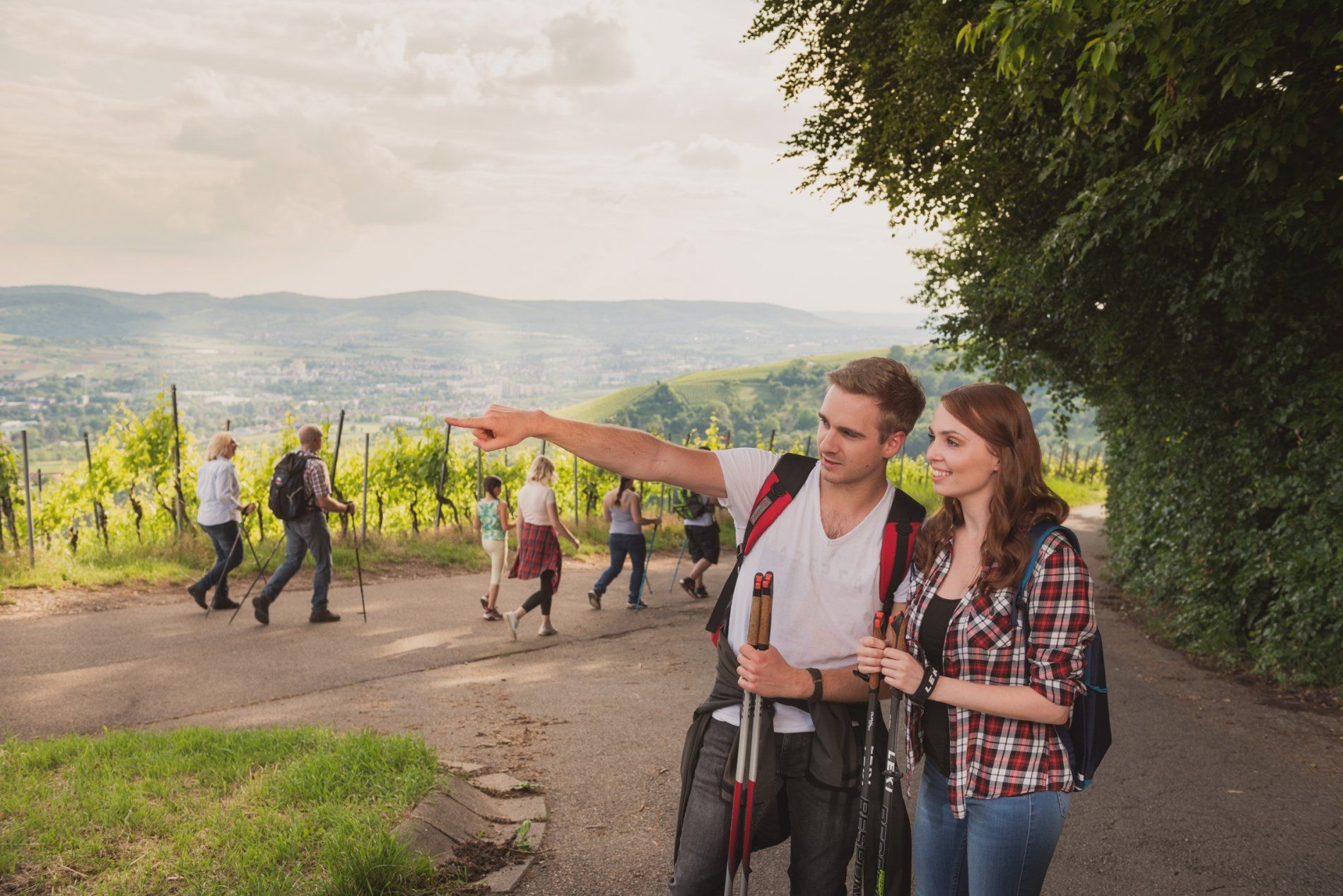
City, Country, River: Rems-Murr-Wanderweg
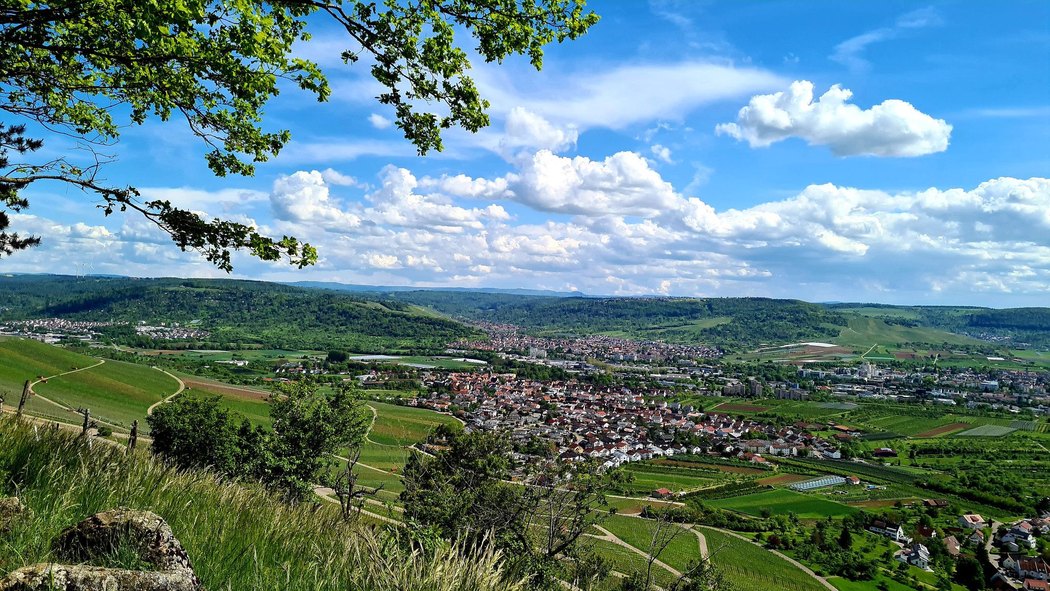
Delights for the palate and far-reaching views – wine hiking in the Rems Valley
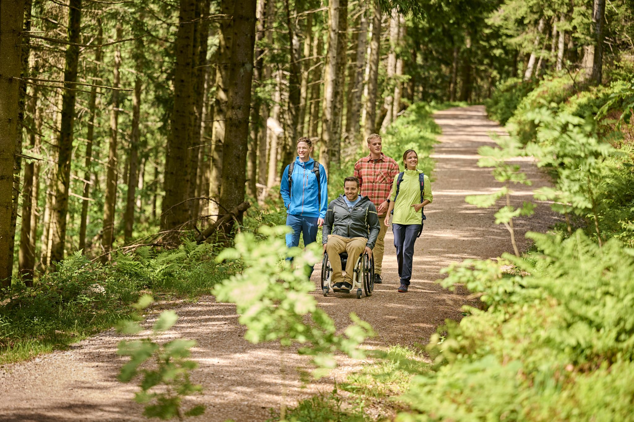
Accessible hiking routes in Baden-Württemberg
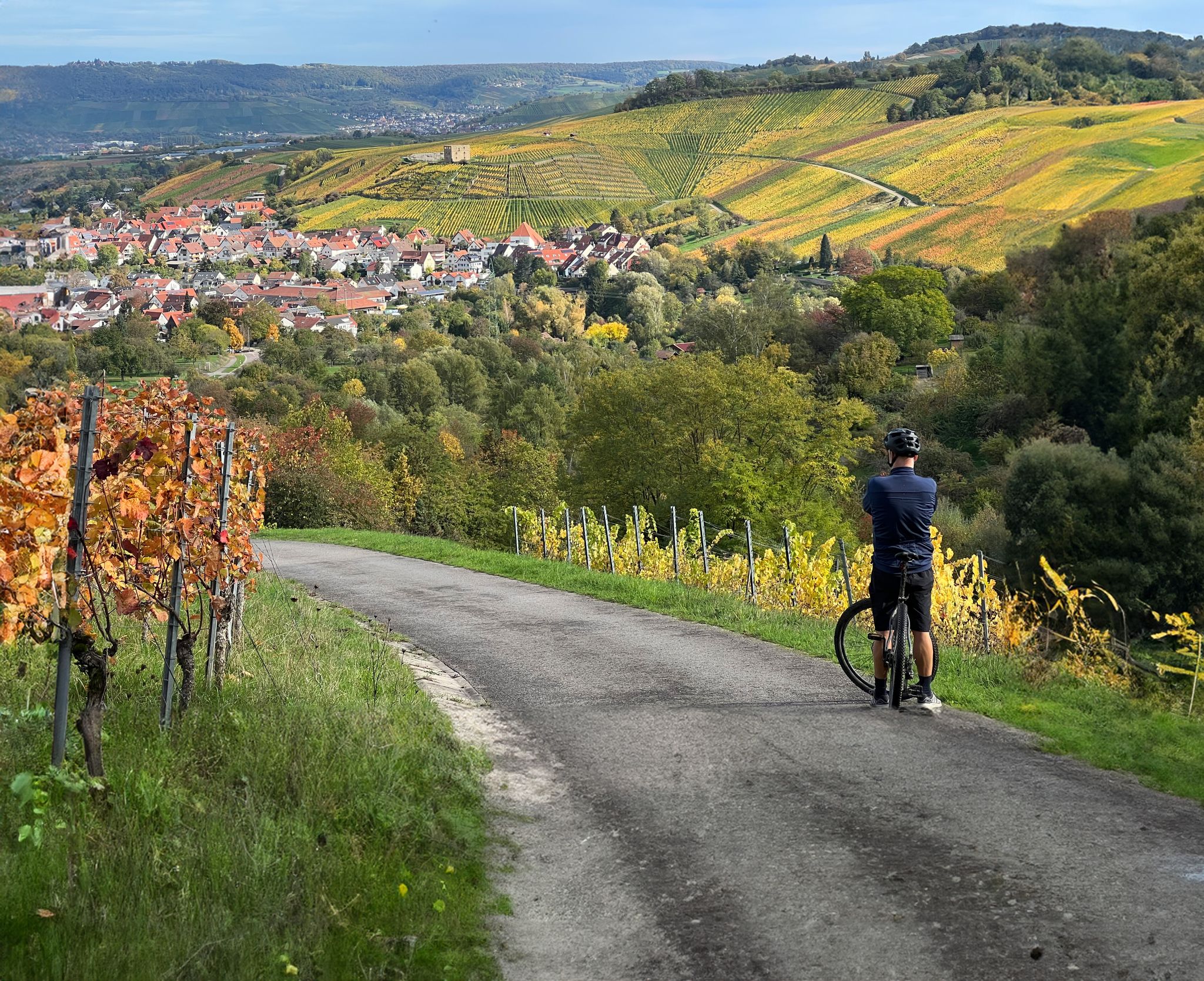
Vineyards, riversides and sunsets – cycling in the Rems Valley

ADFC Rems-Murr: Multi-day tours
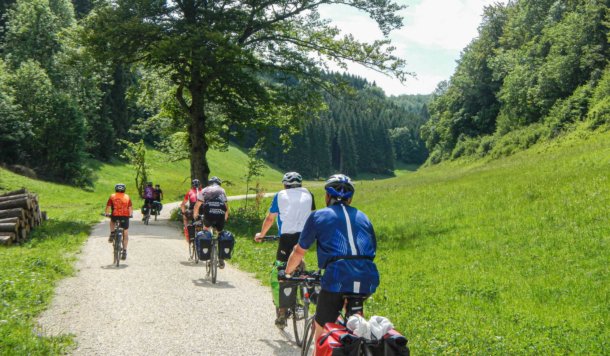
ADFC Rems-Murr: Day tours around Winnenden
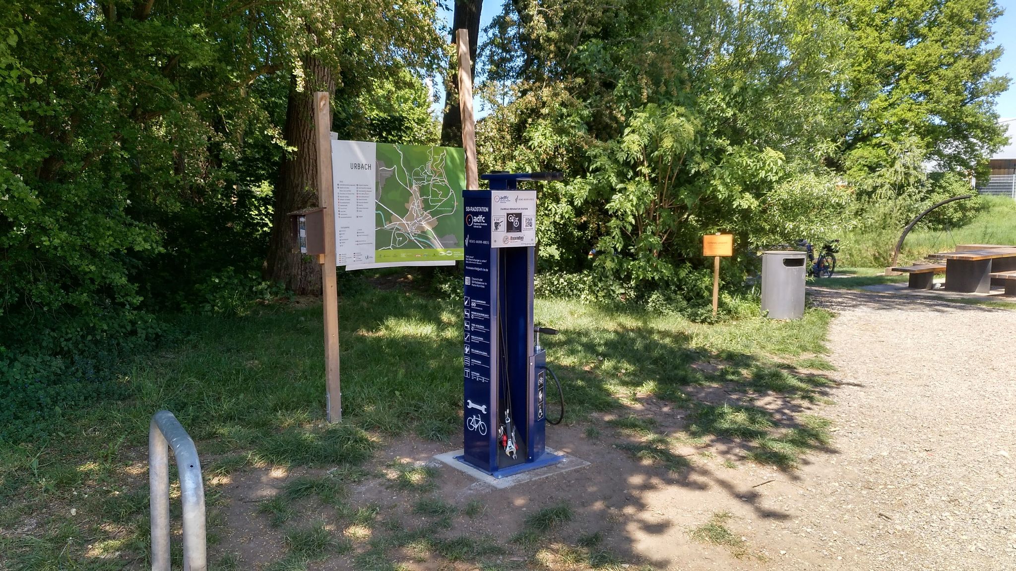
Bicycle service stations in Rems-Murr-Kreis
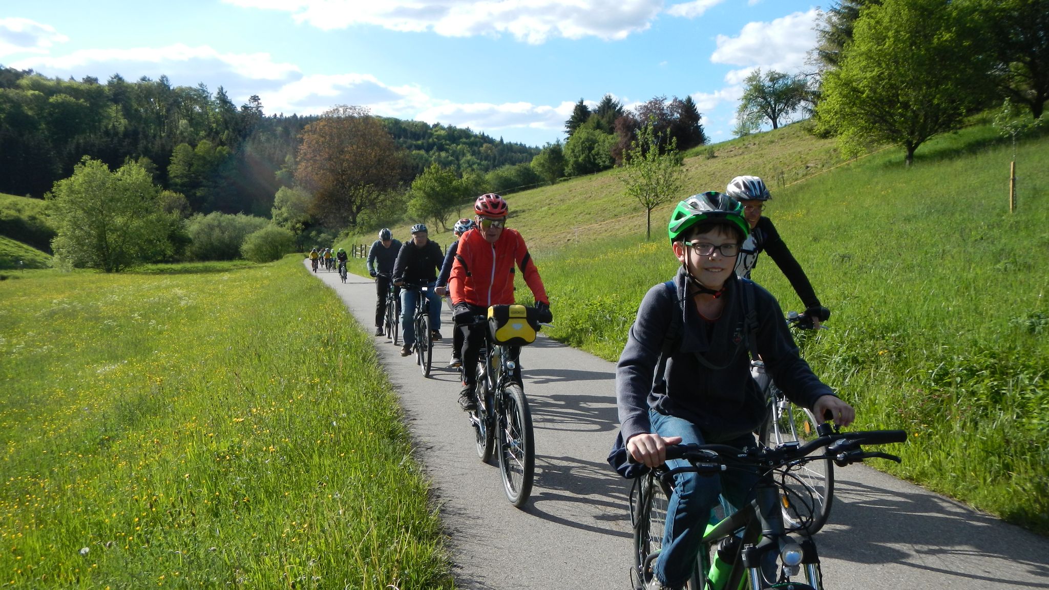
ADFC Rems-Murr: After-work tours starting in Winnenden
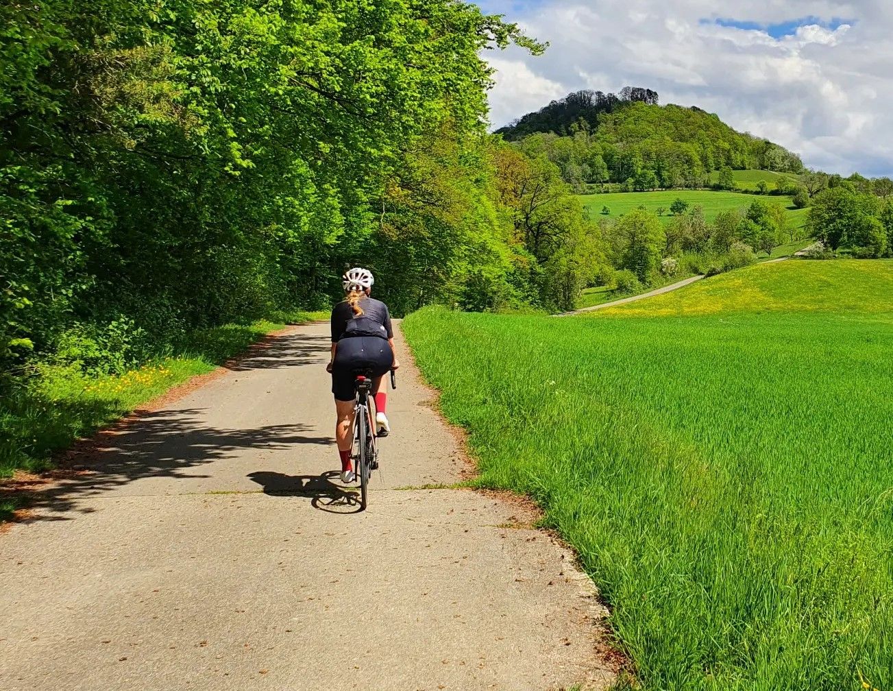
On your bike and out of the cauldron – racing bike fun around Stuttgart
Other adventures around Winnenden


Tips from the Community

Buocher Höhe - beautiful panoramic view
0
0

The Buocher Höhe is a huge recreational area between Winnenden and Remshalden. Numerous barbecue areas are available. An outdoor fitness studio is also available. From here, you can explore the area in all directions. https://youtu.be/DS0M79GWgAA
0
0
Right next to the Korb shooting range is the barbecue and playground area at Hörnleskopf. It offers several play structures and a barbecue grill. It gets quite busy on weekends. The Hanweiler Saddle is a popular starting point for numerous hikes in our region. https://youtu.be/uENS3q4GiOY
0
0

Comfortable wooden lounger with a wonderful panoramic view over the Remstal valley – ideal for a relaxing break amidst the vineyards.
0
0

Nice playground and rest area. If you don't want to grill yourself, you can also enjoy a meal in the nearby beer garden.
0
0

Along this path the different layers of the vineyard are explained.
1
0

... Barbecue and playground area at "Hörnleskopf" in the recreational area of "Korb" in the Rems-Murr district, Baden-Württemberg. - Accessible via the "red cross" and "red grape" markings, among others. - Uncovered barbecue area - https://www.korb.de/de/freizeit-kultur/freizeiteinrichtungen/grillplaetze
0
0
... the "Geological Path" of "Korb" in the Rems-Murr district, Baden-Württemberg. - Circular path on geology and economics in the vineyards at Korber Kopf - with information boards - in good weather conditions, good visibility or panoramic views - https://www.korb.de/fileadmin/Dateien/Dateien/Tourismus/Wanderwege/GemeindeKorb_Landkarte_GeologischerLehrpfad.pdf - https://www.korb.de/de/freizeit-kultur/ausflugsziele/aktiv-natur/geologischer-lehrpfad
1
0
Frequently Asked Questions
How many waterfall hiking trails are available around Winnenden?
There are 7 dedicated waterfall hiking trails around Winnenden. All of these routes are classified as moderate, offering a good balance of challenge and enjoyment for most hikers.
What kind of landscapes can I expect on these waterfall hikes?
The waterfall hikes around Winnenden traverse a diverse landscape featuring rolling hills, green meadows, and picturesque river valleys. You'll explore abundant forests and gorges, including the notable Strümpfelbach Valley Nature Reserve, known for its small waterfalls. Trails often follow the Rems and Buchenbach rivers, providing varied scenery and charming natural features.
Are there any specific waterfalls to look out for?
Yes, the region is home to several small waterfalls, particularly within the Strümpfelbach Valley Nature Reserve, which features a historic water pumping system and the Strümpfelbach Waterfall itself. Many trails, like the Zipfelbach Stream in Oberes Zipfelbachtal – View of Hanweiler loop from Winnenden, follow scenic streams where you can discover these natural cascades.
Are the waterfall trails suitable for families?
While all 7 routes are moderate, many offer enjoyable experiences for families. The Grunbach Waterfall – View of the Remstal Valley loop, for instance, is a popular choice. For a more relaxed family outing, the nearby Ebnisee Lake offers a suitable circular trail with playgrounds and cozy inns.
Are there circular waterfall routes in Winnenden?
Yes, many of the waterfall trails around Winnenden are circular, allowing you to start and end at the same point. Examples include the popular Grunbach Waterfall – View of the Remstal Valley loop (11.1 km) and the longer Zipfelbach Stream in Oberes Zipfelbachtal loop (15.6 km).
What other attractions can I see near the waterfall trails?
Beyond the waterfalls, the region offers several interesting sights. You can explore the Stone Bridges in the Buchenbachtal, or visit historical sites like the Burg Bürg (Altwinnenden Castle). For panoramic views, consider the Observation Tower at Zugwiesen Nature Reserve or the Remstal Cinema viewpoint.
When is the best time of year to hike to waterfalls in Winnenden?
The best seasons for waterfall hiking in Winnenden are typically spring and autumn. During these times, the weather is mild, and the natural scenery is particularly vibrant, with lush greenery in spring and colorful foliage in autumn. Water flow in the streams and waterfalls is also often at its best after seasonal rains.
What do other hikers say about the waterfall trails in Winnenden?
The waterfall trails in Winnenden are highly regarded by the komoot community, boasting an average rating of 4.6 stars from over 900 reviews. Hikers often praise the varied terrain, the peaceful river valleys, and the charm of discovering the small waterfalls and natural monuments along the way. Over 3,900 hikers have already explored these routes with komoot.
How long do the waterfall hikes typically take?
The duration of waterfall hikes varies depending on the route. For example, the Grunbach Waterfall – View of the Remstal Valley loop typically takes around 3 hours and 10 minutes to complete, covering 11.1 km. Shorter options like the Bench in the Forest – Zipfelbach Stream loop are about 9.2 km and take approximately 2 hours and 36 minutes.
What is the elevation gain like on these trails?
The waterfall trails around Winnenden are classified as moderate, meaning they involve some elevation changes but are generally manageable. For instance, the Zipfelbach Stream in Oberes Zipfelbachtal – Korber head loop has an elevation gain of about 272 meters over its 11.7 km length, offering scenic climbs without being overly strenuous.
Are there any accessible waterfall walks for wheelchair users?
While the specific waterfall trails listed are moderate, the broader Winnenden region does offer accessible options. The "Panorama trail for wheelchair users in Winnenden-Bürg WN10" is mentioned as providing easier access, though it may not directly feature waterfalls. It's always recommended to check specific trail conditions for accessibility.
Is parking available near the trailheads?
Yes, parking is generally available near the starting points of many popular hiking trails in the Winnenden area. Specific parking information can often be found on individual route pages on komoot, or by checking local signage at trailheads.
Most popular routes around Winnenden
Most popular attractions around Winnenden

Get inspired with the komoot mobile app


Explore more
Browse the best Hikes in other regions.
