The best waterfall hikes and walks around Münstertal
4.6
(5323)
20,960
hikers
15
hikes
Hiking around Münstertal, nestled in the southern Black Forest, offers a diverse range of landscapes for outdoor enthusiasts. The region is characterized by varied terrain, from gentle vineyards in the west to the higher peaks of the Black Forest, featuring dense forests, wide fields, lush meadows, and crystal-clear streams. Elevations in the area range from 300 to 1,400 meters above sea level, providing a mix of challenging ascents and serene valley walks. This area is part of the Southern Black…
Last updated: August 19, 2026
4.8
(69)
232
hikers
Moderate hike. Good fitness required. Mostly accessible paths. Sure-footedness required.
4.7
(73)
230
hikers
Moderate hike. Good fitness required. Easily-accessible paths. Suitable for all skill levels.

Sign up for free
4.6
(66)
276
hikers
Moderate hike. Good fitness required. Mostly accessible paths. Sure-footedness required.
4.8
(41)
127
hikers
8.26km
02:41
350m
350m
Moderate hike. Good fitness required. Mostly accessible paths. Sure-footedness required.
4.7
(71)
246
hikers
13.8km
04:12
470m
470m
Moderate hike. Good fitness required. Easily-accessible paths. Suitable for all skill levels.
Get access to more routes and recommendations from other explorers.
Sign up for free
Already have an account?
Our route recommendations are based on thousands of hikes, rides, and runs completed by other people on komoot.
Start today with a free account
Your next adventure awaits.
Login or Signup
Popular around Münstertal
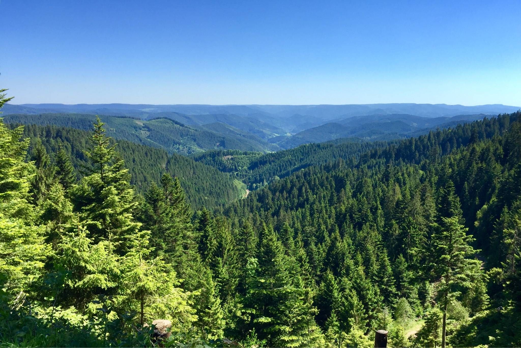
Westweg – Deep forests and bright heights through the Black Forest
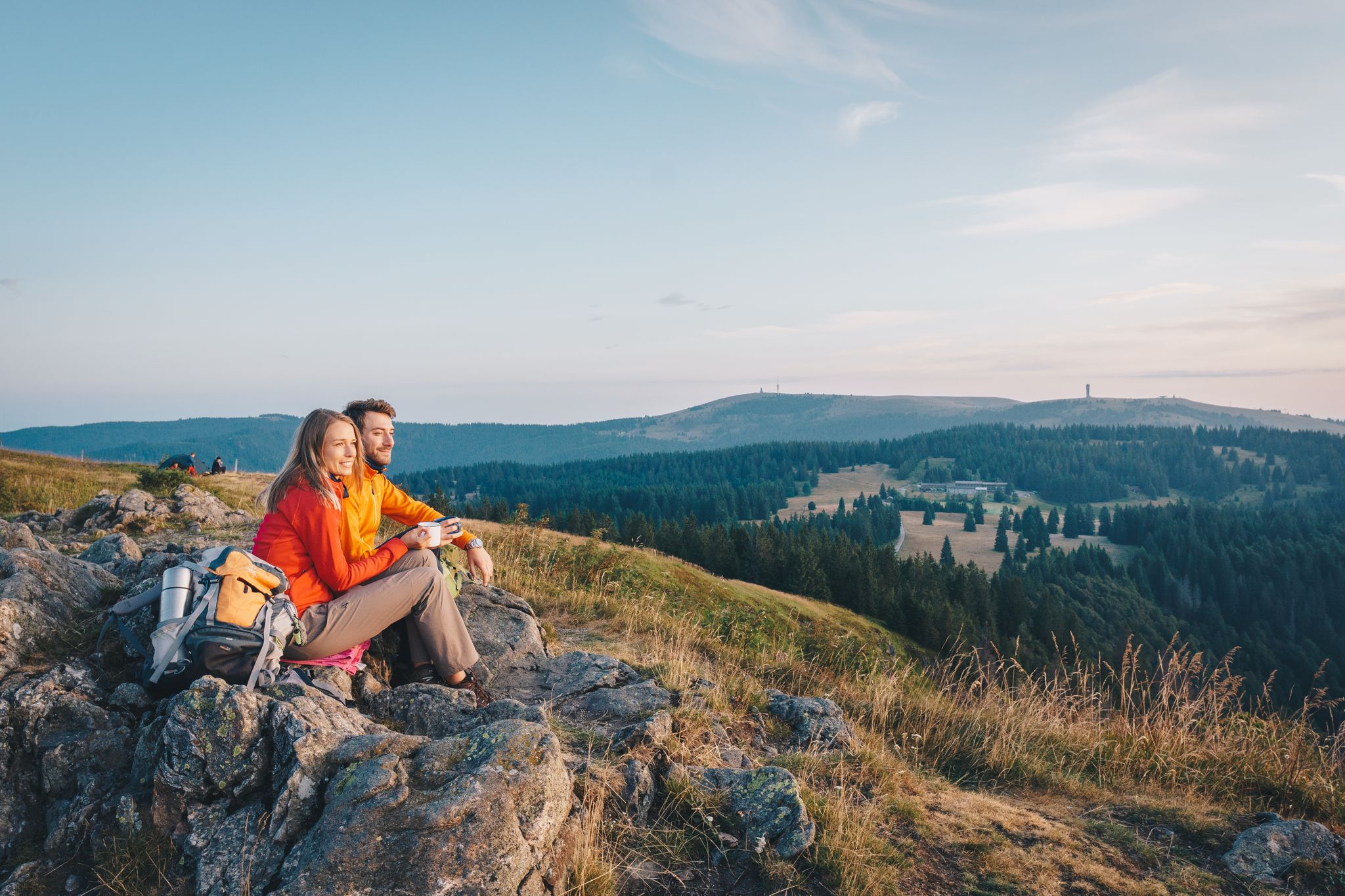
Hiking the Westweg in the Black Forest – Germany’s first long-distance trail
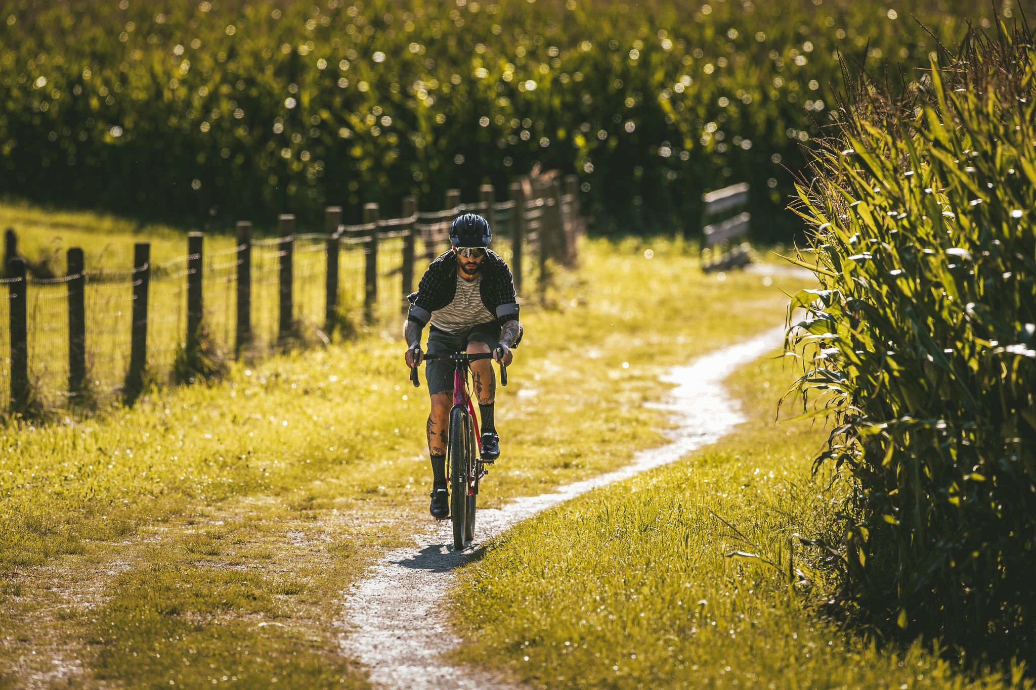
Your gravel adventure — Black Forest Cycle Route
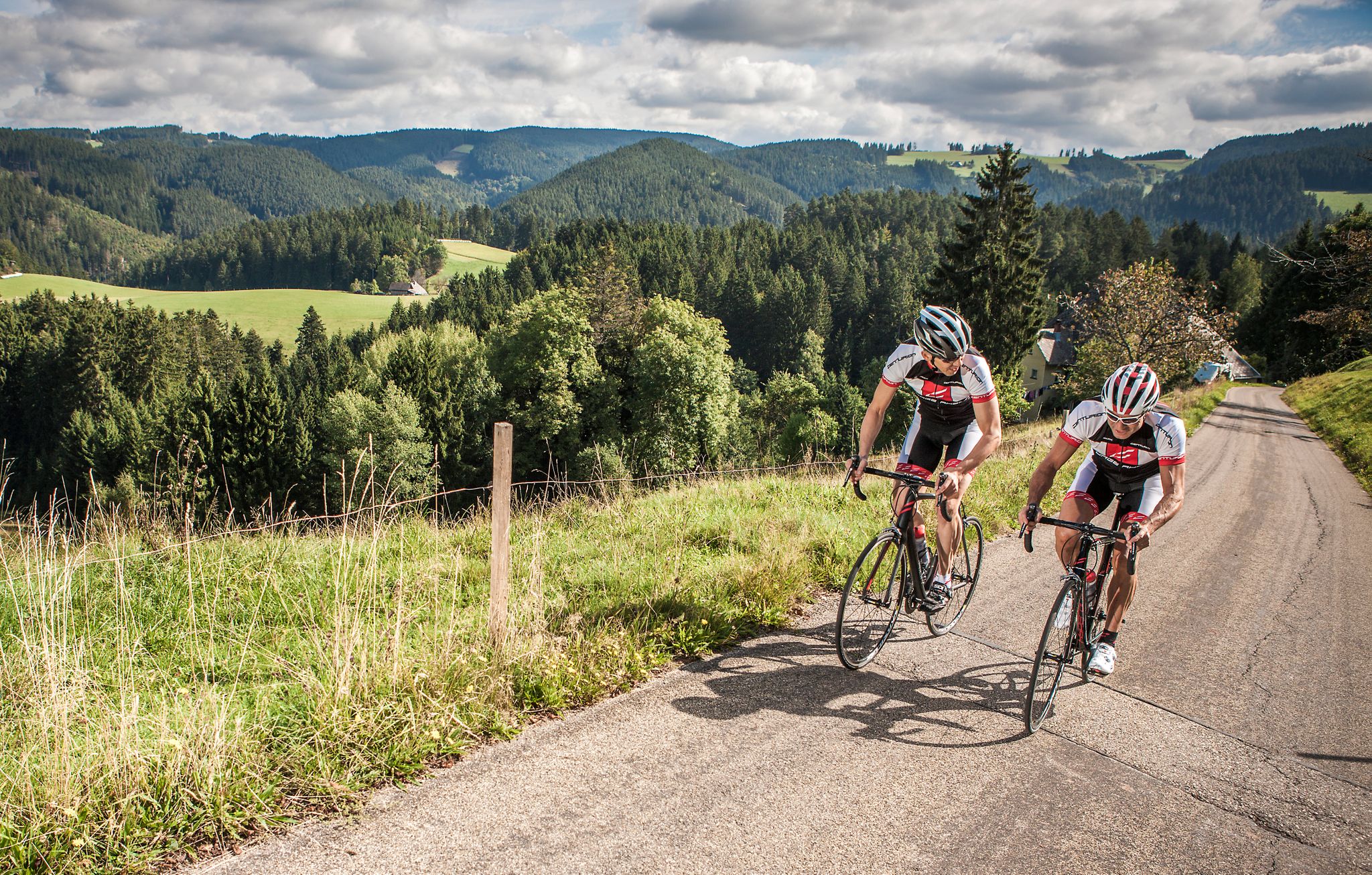
#letsgo – the 9 most beautiful road bike Tours in the Black Forest
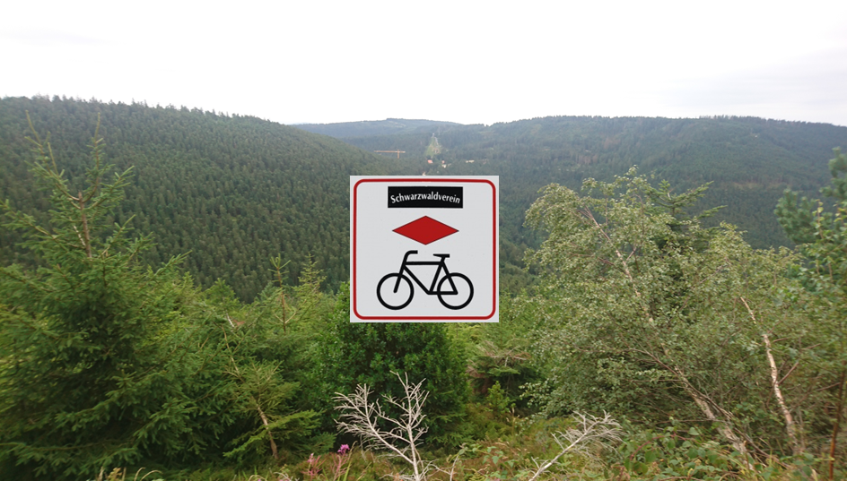
Black Forest Cycle Route from Karlsruhe to Lörrach
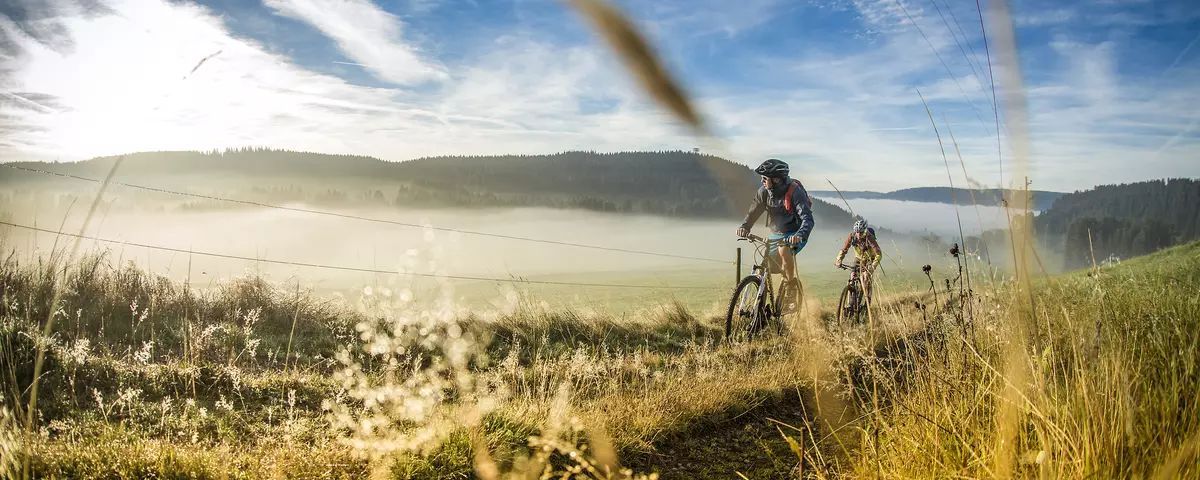
Mountains, Trails and Cuckoo Clocks - Mountainbiking in the Black Forest

Romantische Orte im Schwarzwald
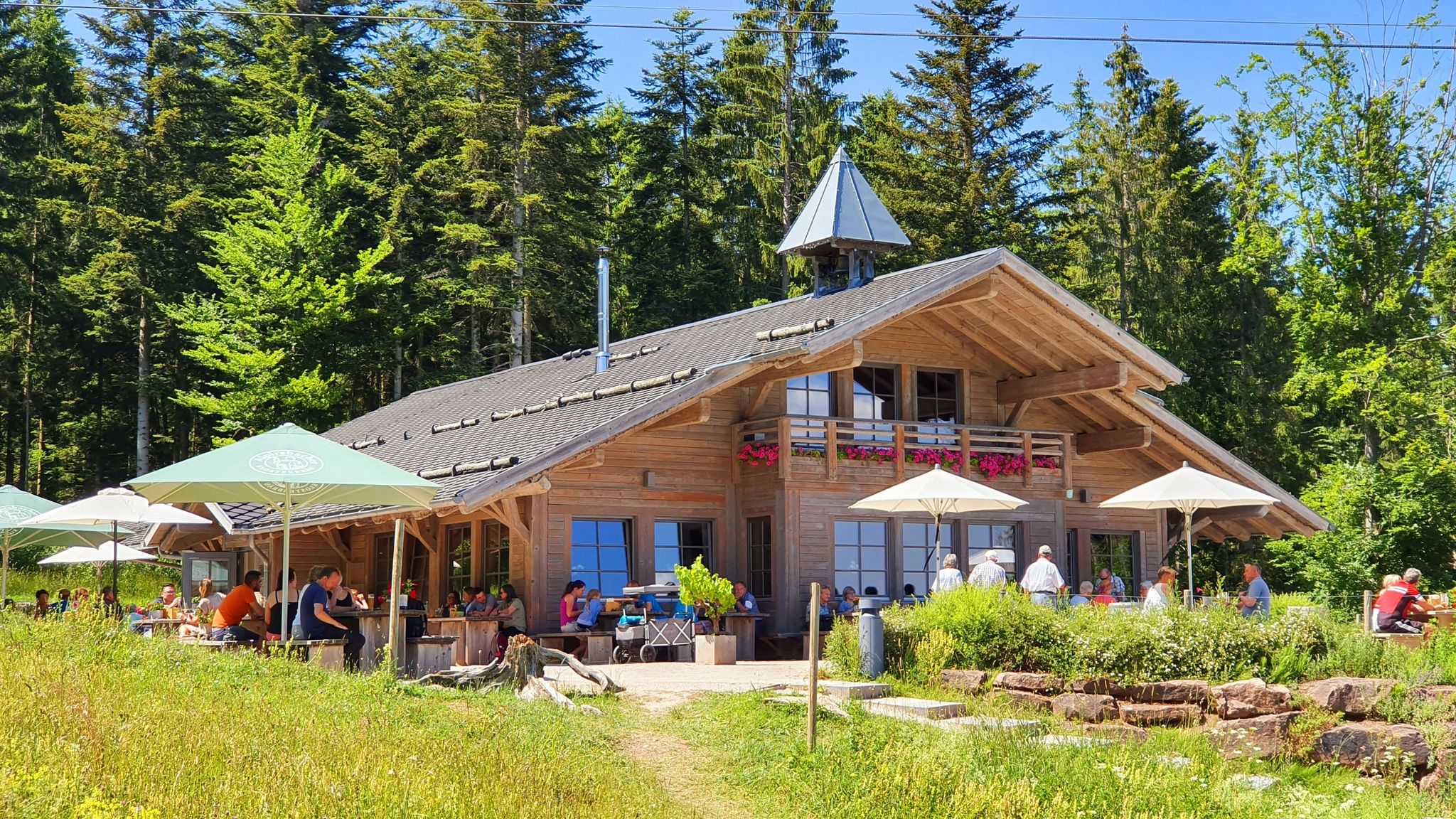
Schwarzwälder Hütteneinkehr – Genussmomente zwischen Wald und Weite
Other adventures around Münstertal


Tips from the Community

Grandiose view of the Gieshübel and the Storental
0
0

Super panoramic view but the ruin can only be guessed.
0
0
Very nice single trail along the Stampfbach. The lower part after the large bridge could become very slippery when wet.
0
0

The Scharfenstein is a distinct, towering porphyry cone (old volcanic vent) on the road from Wiedener Eck down into the Münstertal valley. A legendary castle is said to have stood at the top. The Scharfenstein can be visited and the castle remains tracked down on the so-called Ritterpfad (Knight's Path).
0
0
Several small bridges guide the Stampfbachpfad trail first to the right, then to the left of the cheerfully babbling stream. It is wonderfully cool here in the summer and the path always runs very close to the stream. A small natural jewel.
0
0
Here is the small "Brandenflüh-Hütte", a few meters below there is a large seating area. Both are indeed ideal for a break. The view sweeps far down into the widely branched Hintere Münstertal and in the direction of Gießhübel and Schauinsland (whose summit is not visible, however). The path to the hut - and further in the direction of Wiedener Eck - is a delight, especially in early summer when the meadows bloom lavishly.
0
0

Anyone who likes to treat themselves should definitely stop by here or even book an extra night. The "Spielweg" is a little paradise!
0
0
The path follows the stream the whole time and is very varied.
0
0
Frequently Asked Questions
How many waterfall hiking trails are available in Münstertal?
There are over 10 dedicated waterfall hiking trails around Münstertal, offering a diverse range of experiences for outdoor enthusiasts. These routes are highly rated by the komoot community, with an average score of 4.6 stars from over 3200 reviews.
What is the general difficulty level of waterfall hikes in Münstertal?
The waterfall hikes in Münstertal cater to various fitness levels. Most routes are classified as moderate, with 7 out of 10 routes falling into this category. For those seeking a greater challenge, there are also 3 difficult trails available.
What kind of landscapes can I expect on waterfall hikes in Münstertal?
Hiking around Münstertal offers a rich tapestry of landscapes. You can expect to traverse dense forests, wide fields, and lush meadows, all while following crystal-clear streams that lead to the waterfalls. The region's varied terrain ranges from gentle slopes to higher peaks within the Southern Black Forest Nature Park.
Are there circular waterfall walks in Münstertal?
Yes, many of the waterfall trails in Münstertal are designed as circular routes, allowing you to start and end at the same point. An example is the View of St. Trudpert's Monastery – St. Trudpert Monastery loop from Münstertal, which is an 8.5-mile (13.6 km) trail offering scenic views.
What other natural attractions can I see near the waterfall trails?
Beyond the waterfalls, Münstertal is surrounded by stunning natural monuments. You can explore the majestic Belchen Summit (1,414 m), known for its panoramic views, or visit the Feldberg Summit. The region also features other impressive waterfalls like the Todtnau Waterfall, offering more natural beauty to discover.
Are there historical or cultural attractions near Münstertal's waterfall hikes?
Absolutely. The region is rich in history and culture. Many trails offer views of or pass by significant sites, such as the historic St. Trudpert Monastery. You can also find remnants of the past like the Staufen Castle Ruins or the Schneeburg Ruins. The Traditional Münstertal house – Ruins of Scharfenstein Castle loop from Spielweg is a great option to combine hiking with historical exploration.
What do other hikers enjoy most about the waterfall trails in Münstertal?
The komoot community highly rates the trails in Münstertal, with an average score of 4.6 stars. Hikers often praise the diverse terrain, from dense forests to clear streams, and the well-maintained paths. The combination of natural beauty, varied difficulty levels, and the opportunity to discover historical sites makes these routes particularly appealing.
Are the waterfall hikes in Münstertal suitable for families?
Münstertal offers a range of trails, some of which are well-suited for families. While specific 'family-friendly' designations aren't always present, many moderate routes with clear paths and interesting features like traditional houses or castle ruins can be enjoyable for children. Always check the distance and elevation gain to ensure it matches your family's capabilities.
Can I bring my dog on waterfall hikes in Münstertal?
Generally, dogs are welcome on hiking trails in the Black Forest region, including Münstertal. It's always advisable to keep your dog on a leash, especially in nature protection areas or near livestock. Ensure your dog is well-behaved and that you carry waste bags. The varied terrain and natural streams provide a great environment for a walk with your canine companion.
How long do waterfall hikes in Münstertal typically take?
The duration of waterfall hikes in Münstertal varies depending on the route and your pace. For example, the Traditional Münstertal house – Stampfbach Waterfall loop from Spielweg, which is 6.0 miles (9.7 km) long, typically takes about 3 hours and 17 minutes. Longer routes, such as the 8.8-mile (14.2 km) Waterfall on the Valley Trail – Romantic Hotel Spielweg loop from Spielweg, can take around 4 hours and 30 minutes.
What is the best time of year to visit Münstertal for waterfall hikes?
The best time for waterfall hikes in Münstertal is typically during spring and early summer when the snowmelt contributes to a strong water flow, making the waterfalls particularly impressive. Autumn also offers beautiful scenery with vibrant fall foliage. While summer is popular, water levels might be lower. Winter transforms the area into a 'winter wonderland,' suitable for snowshoeing, but some trails might be challenging due to snow and ice.
Are there any challenging waterfall trails for experienced hikers?
Yes, for experienced hikers seeking a challenge, Münstertal offers 3 routes classified as difficult. These trails often feature significant elevation gains and more rugged terrain, providing a rewarding experience with stunning views. Be sure to check the specific route details for elevation and distance to match your fitness level.
Where can I find parking for waterfall trails in Münstertal?
While specific parking information for every trailhead isn't always available, most popular hiking areas in Münstertal, especially those near villages like Spielweg or Münstertal itself, offer designated parking spaces for hikers. It's recommended to check local signage or online maps for parking options near your chosen starting point.
Most popular routes around Münstertal
Most popular attractions around Münstertal

Get inspired with the komoot mobile app


Explore more
Browse the best Hikes in other regions.
