The best walks and hikes in Macedon Regional Park
4.7
(30)
346
hikers
18
hikes
Hiking in Macedon Regional Park offers exploration within Victoria's Great Dividing Range, centered around Mount Macedon, an extinct volcano rising to 1,010 meters above sea level. The park spans 2,379 hectares, featuring diverse landscapes including lush eucalypt forests, wet fern gullies, and distinctive rocky outcrops. Prominent geological features like Camels Hump, a volcanic mamelon, provide panoramic views of the surrounding countryside. The terrain includes varied environments, from gentle paths to steep mountain slopes.
Best hiking trails in Macedon Regional Park
- The most popular hiking route is Mount Macedon to Camels Hump Lookout, a 5.8 miles (9.4 km) trail that takes 2 hours 35 minutes to complete. This moderate route leads to the distinctive volcanic mamelon, offering views of Hanging Rock.
- Another top favourite among local hikers is Mount Macedon Memorial Cross loop from Braemar College Mount Macedon, a moderate 5.5 miles (8.8 km) path. This trail ascends to the significant war memorial, providing extensive vistas from the summit.
- Local hikers also love the Sanatorium Lake loop from Camels Hump, a 1.9 miles (3.1 km) trail leading through diverse vegetation around the historic lake, often completed in about 51 minutes.
- Hiking in Macedon Regional Park is defined by lush forests, volcanic peaks, and rocky outcrops. The network offers options for different ability levels, from easy lakeside strolls to moderate climbs.
- The routes in Macedon Regional Park are highly rated by the komoot community with an average score of 4.7 stars from over 30 reviews. More than 400 hikers have used komoot to explore Macedon Regional Park's varied terrain.
Last updated: May 24, 2026
4.6
(5)
63
hikers
9.40km
02:36
160m
160m
Moderate hike. Good fitness required. Easily-accessible paths. Suitable for all skill levels.
34
hikers
7.47km
02:07
160m
170m
Moderate hike. Good fitness required. Easily-accessible paths. Suitable for all skill levels.

Sign up for free
4.5
(2)
23
hikers
Moderate hike. Good fitness required. Easily-accessible paths. Suitable for all skill levels.
4.6
(8)
15
hikers
Moderate hike. Good fitness required. Easily-accessible paths. Suitable for all skill levels.
15
hikers
1.05km
00:19
30m
30m
Easy hike. Great for any fitness level. Easily-accessible paths. Suitable for all skill levels.
Get access to more routes and recommendations from other explorers.
Sign up for free
Already have an account?
Our route recommendations are based on thousands of hikes, rides, and runs completed by other people on komoot.
Start today with a free account
Your next adventure awaits.
Login or Signup
Tips from the Community

Macedon Regional Park sits at the southern end of the Great Dividing Range and forms part of the traditional Country of the Wurundjeri Peoples. The park combines forested slopes, picnic grounds, and scenic lookouts, with access to sites like the Mount Macedon Memorial Cross and Sanatorium Lake. A network of tracks and roads supports bushwalking, cycling, and horse riding on designated routes, along with a range of scenic drives. Conditions can vary with elevation, and the area is known for cooler temperatures and seasonal colour, particularly in autumn.
0
0
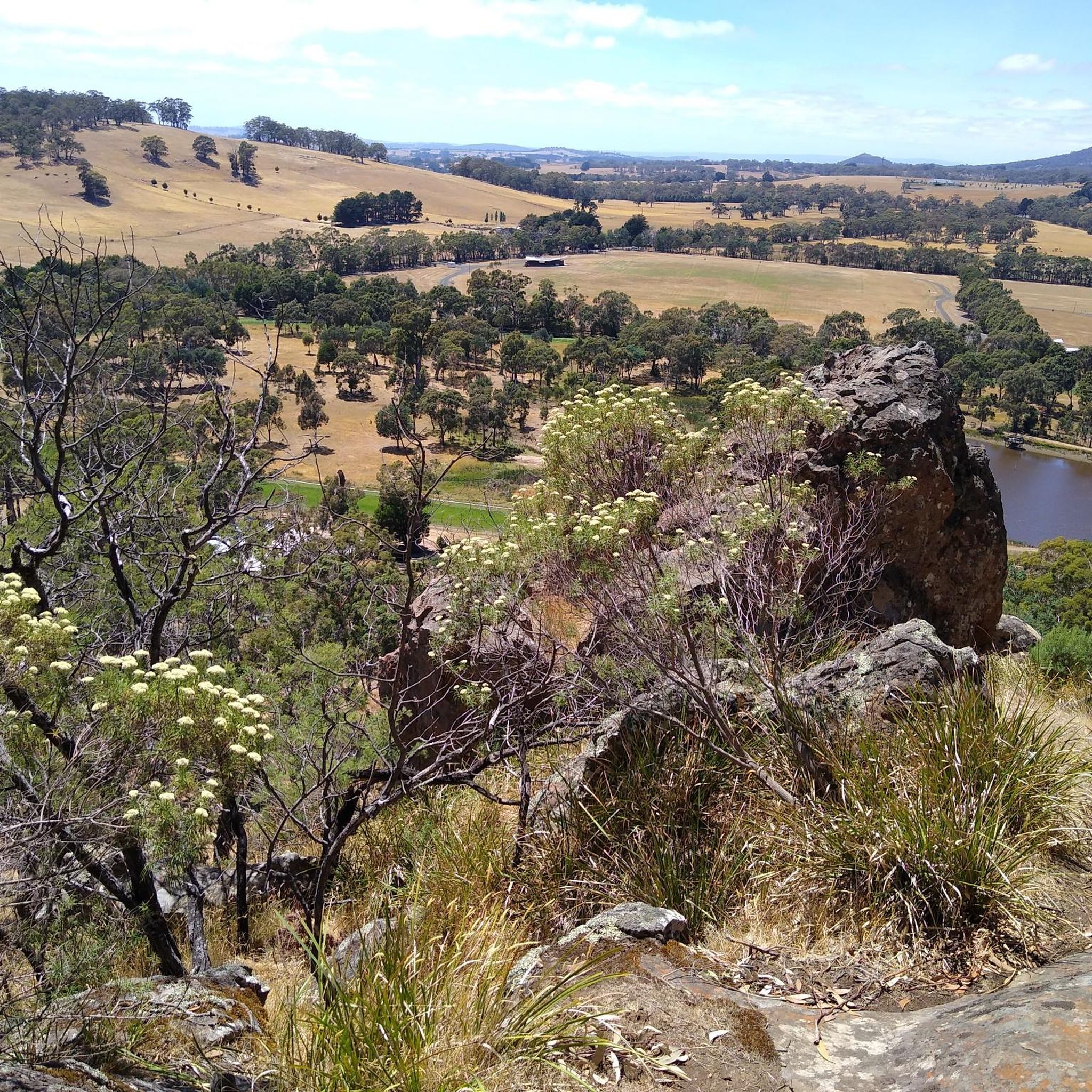
Located in Macedon Ranges, this 18.8 kilometre route combines walking tracks with multi-use sections shared with cyclists, horse riders, and seasonal vehicle access. Much of the trail is Grade 3, with moderate to difficult sections due to steep mountain slopes. The route links key features including the Mount Macedon Memorial Cross, Camels Hump, and the Sanatorium Lake Eco-trail, while also passing several picnic areas, some with facilities. Conditions can change quickly at higher elevations, with cooler temperatures and uneven terrain throughout.
0
0
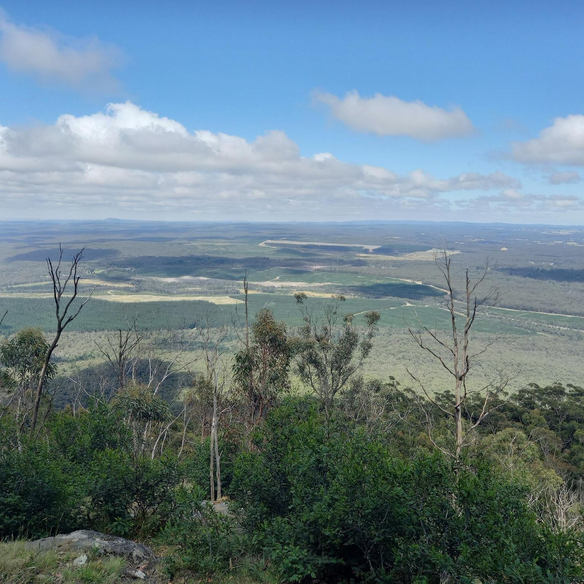
The summit of Mount Macedon sits just above 1,000 metres and offers some of the best views in the Macedon Ranges. From the rocky peak, walkers are rewarded with sweeping panoramas across the surrounding countryside, farmland, and forested hills. On clear days you can see far across the Victorian plains toward Melbourne and even Port Phillip Bay in the distance. The summit area is surrounded by tall eucalypts and granite outcrops, giving it a cool, alpine feel compared to the lower slopes of the mountain.
0
0
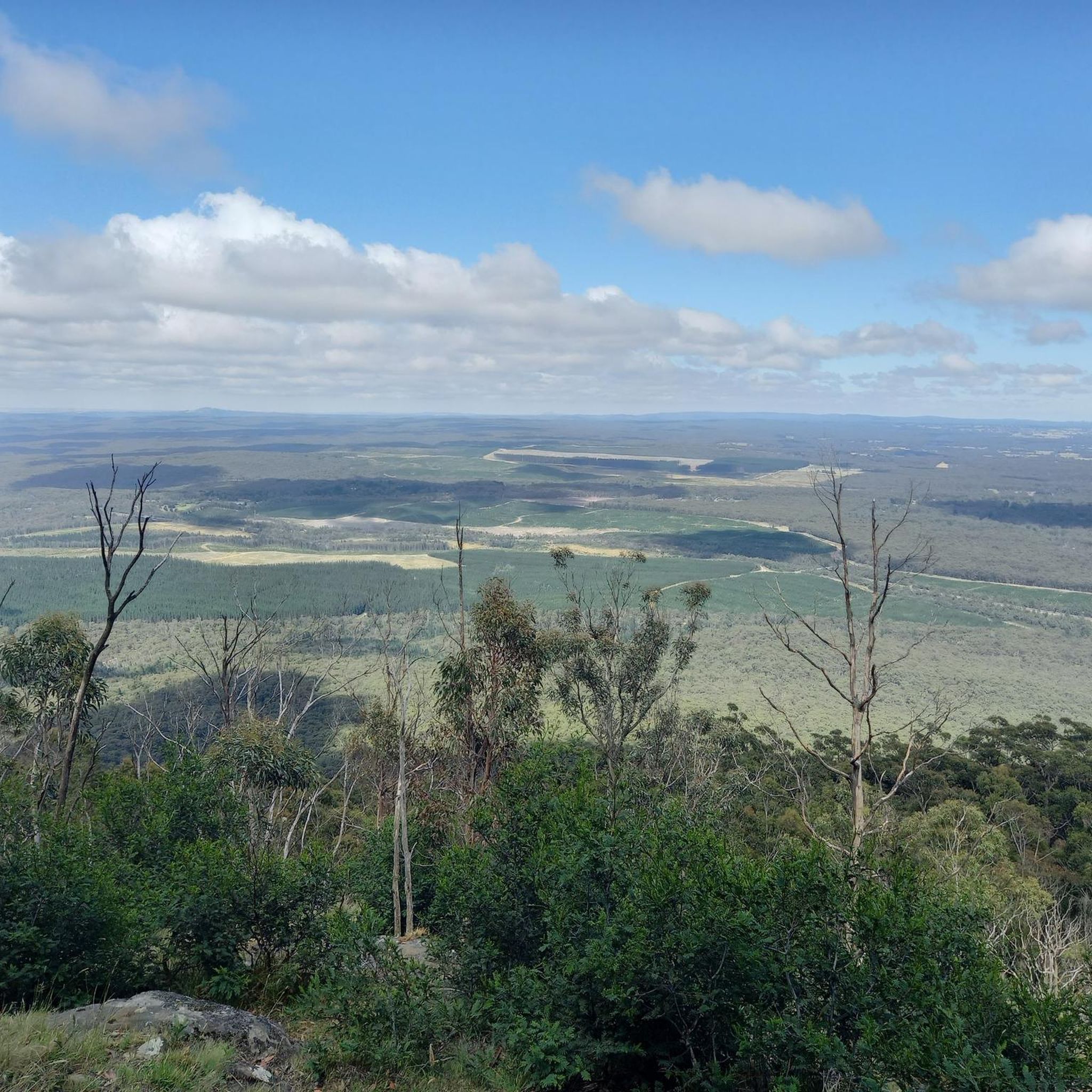
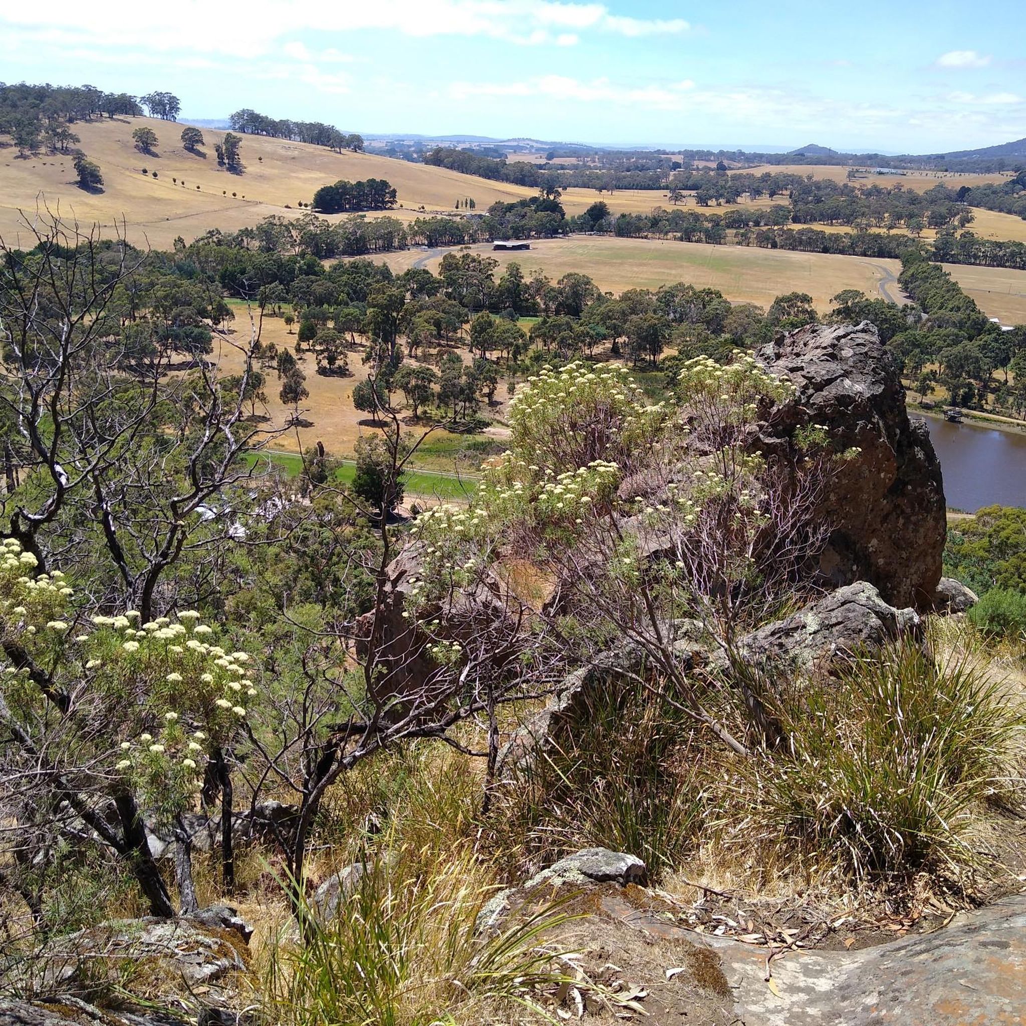
Camels Hump lookout sits at the highest point in the Macedon Ranges at 1,011 metres, offering some of the best views in the region. A short but steep path leads through eucalypt forest and granite outcrops before reaching a set of stone steps that climb to the summit. At the top, a viewing platform provides wide views across the surrounding countryside, including glimpses toward Hanging Rock on clear days. Snow gums and rocky formations around the summit give the area a distinctive alpine feel, making it one of the most rewarding viewpoints in Macedon Regional Park.
0
0

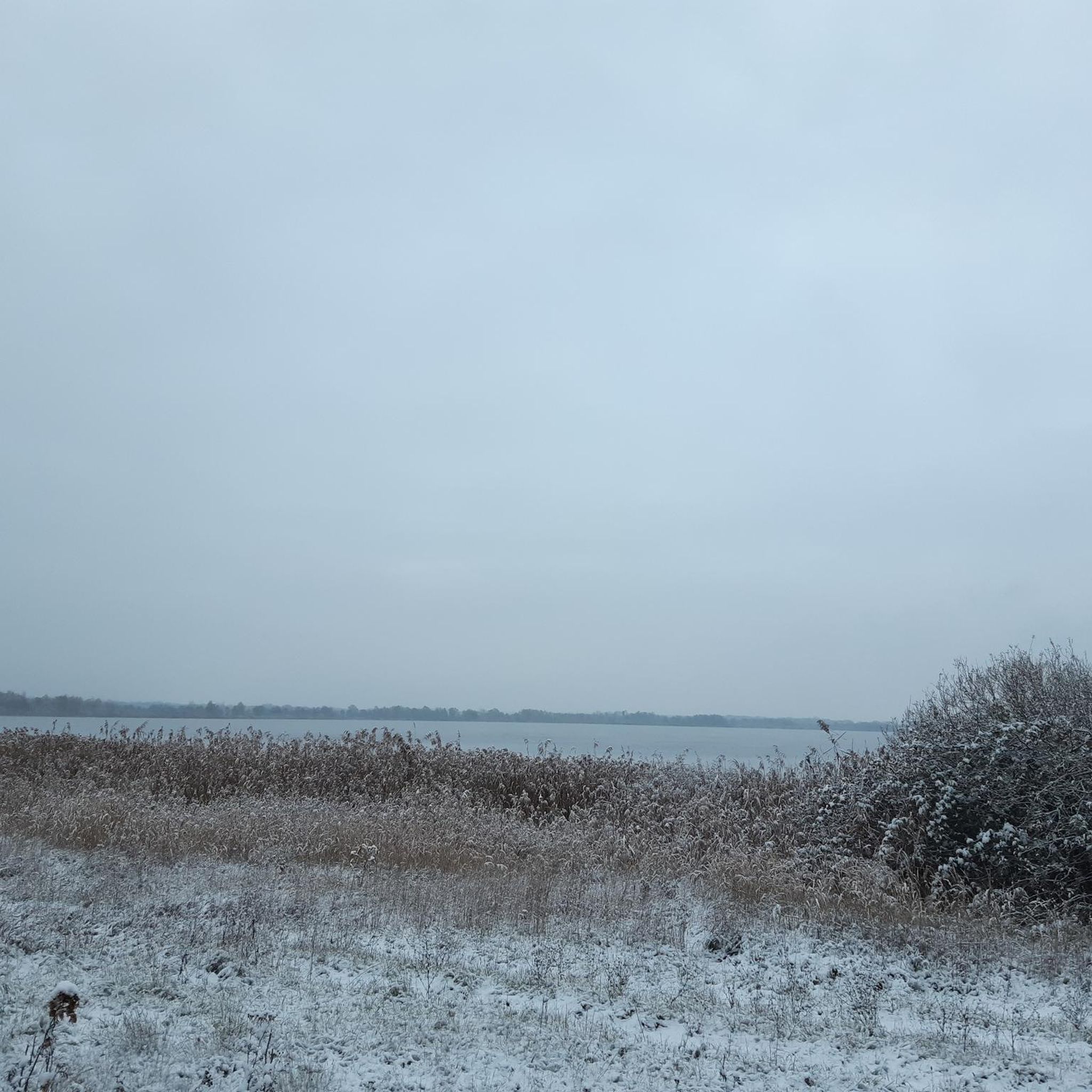
Mt Macedon Memorial Cross is considered the most significant war memorial in Victoria. Located on the summit of Mt Macedon, this imposing structure stands 21 metres high and commemorates all those who served in wars and conflicts. Autumn is a beautiful time to visit the Cross and the nearby city Macedon with its impressive autumn colours.
0
0
Frequently Asked Questions
What types of hiking trails can I find in Macedon Regional Park?
Macedon Regional Park offers a diverse range of hiking trails, from easy lakeside strolls to moderate climbs up volcanic peaks. You'll find paths winding through lush eucalypt forests, wet fern gullies, and leading to distinctive rocky outcrops with panoramic views. There are approximately 19 hiking routes available, catering to various fitness levels.
Are there any easy, family-friendly walks in Macedon Regional Park?
Yes, for an easy and family-friendly option, consider the Sanatorium Lake loop from Camels Hump. This 3.1 km (1.9 miles) trail takes about 51 minutes to complete and leads through diverse vegetation around the historic Sanatorium Lake, which is also a great spot for a picnic. The 2.5 km Sanatorium Lake Eco-Tourism Trail also offers informative signs about the local environment.
What are the best viewpoints or scenic spots in Macedon Regional Park?
Macedon Regional Park boasts several stunning viewpoints. The summit of Mount Macedon offers magnificent panoramic views, especially from Major Mitchell's Lookout near the Memorial Cross. The Camels Hump, a distinctive volcanic mamelon, also provides superb views of Hanging Rock and the surrounding landscape. Many trails lead to these scenic spots, such as the Mount Macedon Memorial Cross loop from Braemar College Mount Macedon.
Can I find circular walks in Macedon Regional Park?
Yes, many of the trails in Macedon Regional Park are designed as loops, allowing you to experience varied scenery without retracing your steps. Examples include the Camels Hump loop from Mount Macedon and the Camels Hump Lookout loop from Camels Hump. The extensive Macedon Ranges Walking Track also offers a 30 km loop that connects many of the park's features, though it can be broken into shorter sections.
What kind of wildlife might I see while hiking in the park?
Macedon Regional Park is home to a variety of Australian wildlife. Hikers often spot kangaroos, wombats, echidnas, and possums. The park is also a haven for birdwatchers, with numerous species including rosellas, galahs, tiny blue wrens, flame robins, and white-faced herons, particularly around Sanatorium Lake.
Are there any significant landmarks or historical sites to explore?
Absolutely. The most prominent landmark is the Mount Macedon Memorial Cross, Victoria's second most significant war memorial, standing 21 meters high on the mountain's summit. It commemorates those who served in Australia's wars and conflicts. The historic Sanatorium Lake, originally built to supply water to a sanatorium, is another interesting site with an eco-tourism trail.
What facilities are available for hikers, such as picnic areas or toilets?
Macedon Regional Park provides several convenient facilities for visitors. You'll find picnic grounds like Harbison Picnic Ground, which offers free electric barbecues, Days Picnic Ground, and the historical Sanatorium Picnic Ground. These areas are ideal for relaxing and enjoying a meal amidst nature.
What do other hikers say about the trails in Macedon Regional Park?
The hiking routes in Macedon Regional Park are highly regarded by the komoot community, with an average score of 4.7 stars from over 30 reviews. Hikers frequently praise the park's diverse landscapes, the stunning panoramic views from Mount Macedon and the Camels Hump, and the serene atmosphere of the lush forests and Sanatorium Lake.
Is there public transport available to Macedon Regional Park?
While Macedon Regional Park is primarily accessed by car, public transport options to the general Macedon Ranges area exist, typically involving V/Line train services to towns like Macedon or Woodend. However, direct public transport to the park's trailheads is limited. Planning for private transport or local taxi services from nearby towns is generally recommended for accessing specific hiking starting points.
When is the best time of year to go hiking in Macedon Regional Park?
Macedon Regional Park offers unique experiences throughout the year. Spring and autumn provide pleasant temperatures and beautiful foliage. Winter can be particularly picturesque, as the summit of Mount Macedon is often covered in snow. Summer is also suitable, but it's advisable to hike earlier in the day to avoid the midday heat.
Are there any cafes or places to eat near the hiking trails?
The nearby Mount Macedon village offers cafes and pubs where you can refuel before or after your hike. These local establishments provide a convenient option for refreshments and meals, complementing your outdoor adventure in the park.
Where can I find parking for the hiking trails?
Parking is available at various access points and picnic grounds within Macedon Regional Park. Popular trailheads and attractions like Mount Macedon, the Camels Hump, and Sanatorium Lake typically have designated parking areas. It's always a good idea to check specific route details for the most convenient parking locations.
Most popular routes in Macedon Regional Park

Get inspired with the komoot mobile app


Explore more
Browse the best Hikes in other regions.
