The best cycling routes in Bunyip State Park
33
riders
6
rides
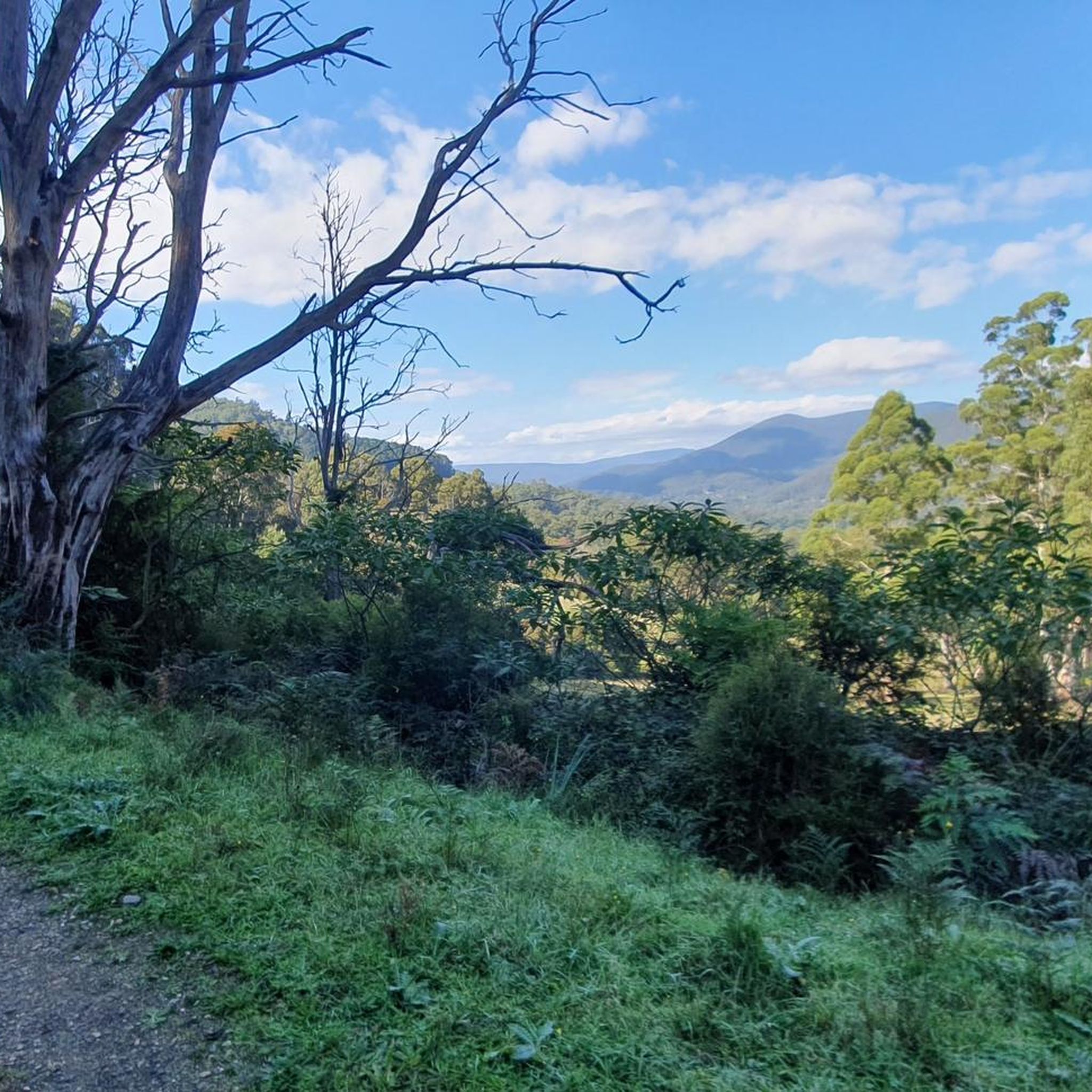
Touring cycling in Bunyip State Park offers diverse landscapes, transitioning from heathland swamps to mountain ash forests. The terrain features dense forest, swampy heathland, and varied surfaces including gravel roads and forest tracks. Routes involve significant elevation changes, with some climbs exceeding 1500 feet. The park's southern section is designated for passive recreational activities like cycling.
Best touring cycling routes in Bunyip State Park
- The most popular touring cycling route is Four Brothers Rocks loop from Maryknoll, a 22.4…
Last updated: July 6, 2026
5
riders
36.1km
03:41
650m
650m
Hard bike ride. Very good fitness required. Mostly paved surfaces. Suitable for all skill levels.
2
riders
32.0km
03:07
600m
600m
Hard bike ride. Very good fitness required. Mostly paved surfaces. Suitable for all skill levels.

Sign up for free
11
riders
101km
08:07
1,200m
1,200m
Hard bike ride. Very good fitness required. Mostly paved surfaces. Suitable for all skill levels.
3
riders
Hard bike ride. Very good fitness required. Mostly paved surfaces. Suitable for all skill levels.
1
riders
12.0km
01:12
230m
230m
Moderate bike ride. Good fitness required. Mostly paved surfaces. Suitable for all skill levels.
Our route recommendations are based on thousands of hikes, rides, and runs completed by other people on komoot.
Start today with a free account
Your next adventure awaits.
Login or Signup
Popular around Bunyip State Park

Tips from the Community

Four Brothers Rocks are a group of large granite boulders, where the forest breaks. There are great viewpoints from the rocky area, and some boulders can be scrambled up for an even better view. Many of the boulders have vibrant patches of orange and green lichen.
0
0
Frequently Asked Questions
What kind of terrain and landscapes can I expect on touring cycling routes in Bunyip State Park?
Bunyip State Park offers a diverse "green mosaic" of ecosystems. You'll cycle through heathland swamps, dense forests, and towering mountain ash forests. The terrain includes varied surfaces such as smooth gravel roads, challenging forest tracks, and some paved and unpaved segments. Expect significant changes in scenery, from fire regrowth areas to verdant, fern-filled sections as you ascend towards Gembrook.
Are there touring cycling routes with significant elevation changes in Bunyip State Park?
Yes, many routes in Bunyip State Park involve significant climbs. Some routes feature ascents of over 1500 feet, requiring a very good level of fitness. For example, the Four Brothers Rocks loop from Maryknoll includes over 600 meters of elevation gain over its 36.1 km.
Are there family-friendly touring cycling routes in Bunyip State Park?
While many of the listed touring cycling routes are rated as difficult due to significant elevation and varied terrain, the park does offer a range of tracks. The southern section, demarcated by Black Snake Creek Road, is designated for passive recreational activities, which may include more manageable sections. However, for the specific routes in this guide, most are challenging and require good fitness.
What is the policy for bringing dogs on touring cycling routes in Bunyip State Park?
Bunyip State Park is managed by Parks Victoria. For detailed and up-to-date information regarding dog policies, it is best to consult the official Parks Victoria website for Bunyip State Park: parks.vic.gov.au.
Are there circular touring cycling routes available in Bunyip State Park?
Yes, many of the touring cycling routes in Bunyip State Park are circular. Examples include the challenging The Lochan loop from Gilwell Park Bushland Reserve, which navigates through varied forest terrain, and the Bald Hill loop from Gembrook (Town), offering scenic views over 54.2 km.
What natural features or landmarks can I see while cycling in Bunyip State Park?
While cycling, you can experience the park's diverse landscapes, from heathland swamps to towering mountain ash forests. Keep an eye out for vibrant wildflower displays in spring, including orchids and wattles. The park is also home to the Common Heath, Victoria's state floral emblem. For specific landmarks, the Elephant Rock – Split Rock loop from Bunyip passes by notable rock formations.
Is there a waterfall accessible from the cycling routes in Bunyip State Park?
Yes, Bunyip State Park features Lawson Falls, its sole waterfall. While the Lawson Falls Circuit Walk is primarily a hiking trail, it is particularly scenic after rainfall and meanders through dense bush and fern gullies. You might be able to access the trailhead from some of the park's cycling roads.
When is the best time of year to go touring cycling in Bunyip State Park?
The park is beautiful in spring when it's adorned with vibrant wildflower displays. However, the varied terrain and potential for loose gravel mean that conditions can change. Cyclists should be prepared for different weather conditions, and it's always advisable to check local forecasts before heading out. The park's diverse ecosystems offer something to see year-round.
Where can I park my car when visiting Bunyip State Park for cycling?
Bunyip State Park has several access points and recreational zones. While specific parking areas for each route are not detailed here, the park offers various entry points. For comprehensive visitor information, including parking facilities, you can refer to the official Bunyip State Park visitor guide: Bunyip State Park Visitor Guide (PDF).
Are there places to resupply or find amenities along the cycling routes?
While cycling within Bunyip State Park, resupply options are limited. However, the popular 120km Bunyip State Park Loop, which traverses through the park, includes Gembrook township as a resupply point. For other routes, it is recommended to carry ample snacks and water, especially on longer rides, as amenities within the park itself are scarce.
What kind of wildlife might I encounter while touring cycling in Bunyip State Park?
Bunyip State Park's diverse habitats support a rich array of native wildlife. You may spot kangaroos, wallabies, and wombats. The park is also home to various bird species, including the lyrebird, Southern Emu-wren, and the Helmeted Honeyeater (Victoria's state avian emblem). If you're lucky, you might even catch a glimpse of the Leadbeater's Possum (Victoria's state faunal emblem).
What type of tires are recommended for touring cycling in Bunyip State Park?
Given the varied surfaces you'll encounter, which include smooth gravel roads, challenging forest tracks, and some sections with looser gravel or small washouts, a minimum of 40mm tires is recommended for optimal performance and comfort on these routes.
How many touring cycling routes are available in Bunyip State Park?
There are 7 touring cycling routes available in Bunyip State Park, ranging in difficulty and length. Most of these routes are rated as difficult, offering a significant challenge for experienced cyclists.

Get inspired with the komoot mobile app


Explore more
Browse the best Cycling routes in other regions.
