The best mountain hikes in Zweifaller Und Rotter Wald
4
hikers
5
hikes
Mountaineering routes in Zweifaller Und Rotter Wald traverse a landscape characterized by dense woodlands, rolling hills, and varied water features. The region offers moderate elevation changes, making it suitable for those seeking engaging trails without extreme ascents. Natural elements like streams and historical sites are integrated into the routes, providing diverse points of interest.
Best mountaineering routes in Zweifaller Und Rotter Wald
- The most popular mountaineering route is Ringwall loop from Schevenhütte, a 6.9 miles (11.1 km) trail that…
Last updated: July 5, 2026
1
hikers
9.80km
02:41
150m
150m
Moderate mountaineering route. Good fitness required. Easily-accessible paths. Suitable for all skill levels.
1
hikers
9.77km
02:38
130m
130m
Moderate mountaineering route. Good fitness required. Easily-accessible paths. Suitable for all skill levels.

Sign up for free
9.69km
02:36
110m
110m
Moderate mountaineering route. Good fitness required. Easily-accessible paths. Suitable for all skill levels.
1
hikers
Moderate mountaineering route. Good fitness required. Easily-accessible paths. Suitable for all skill levels.
1
hikers
Moderate mountaineering route. Good fitness required. Easily-accessible paths. Suitable for all skill levels.
Our route recommendations are based on thousands of hikes, rides, and runs completed by other people on komoot.
Start today with a free account
Your next adventure awaits.
Login or Signup
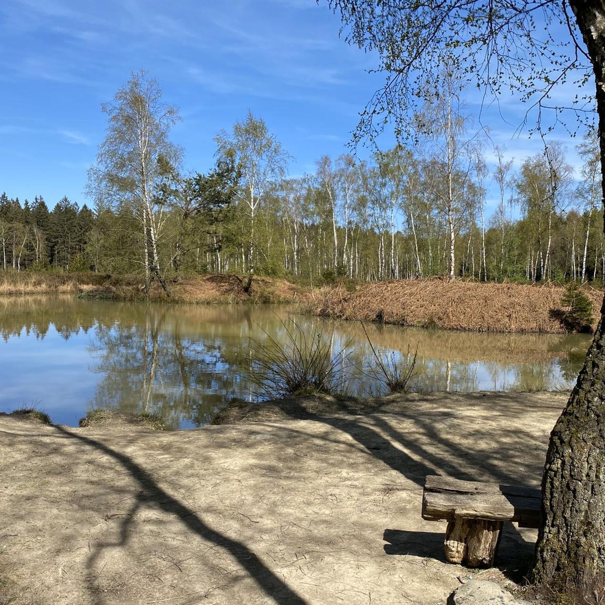
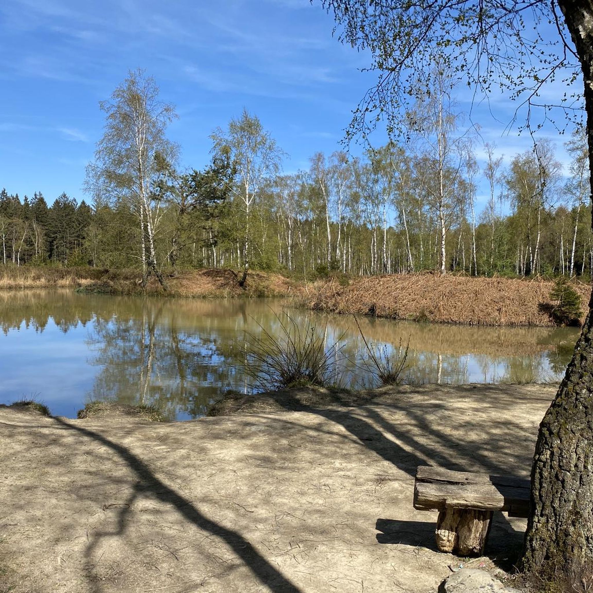
Tips from the Community

It is a very pretty and pleasant winding trail, strewn with multiple roots. Some passages crossing small streams must be particularly complicated in winter or after heavy rains.
2
0

Perhaps the most beautiful border crossing BE-DE there is.
0
0
Twisty pasture path near the upper Weser. Still with beautiful wide views over the meadows..
2
0


Super nice route and hiking trail
0
0

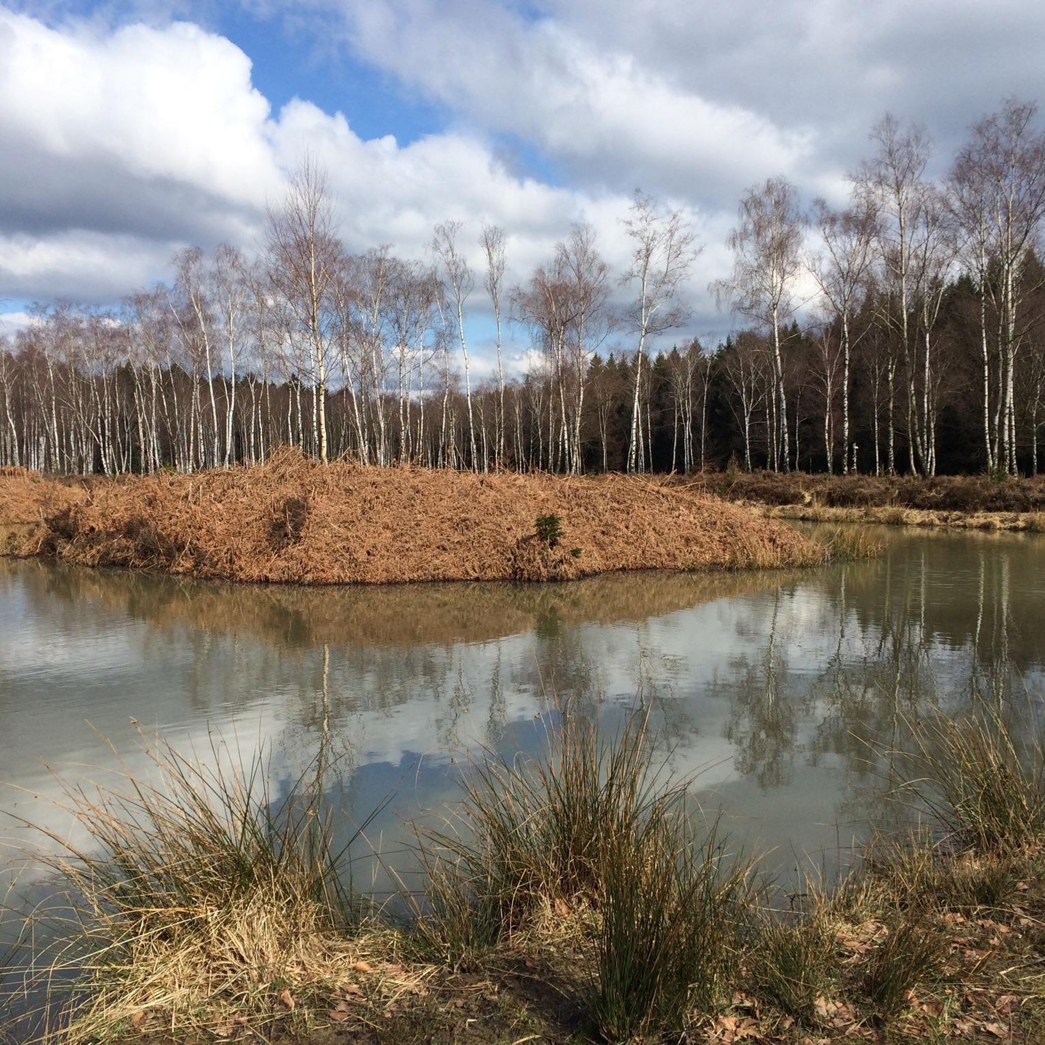
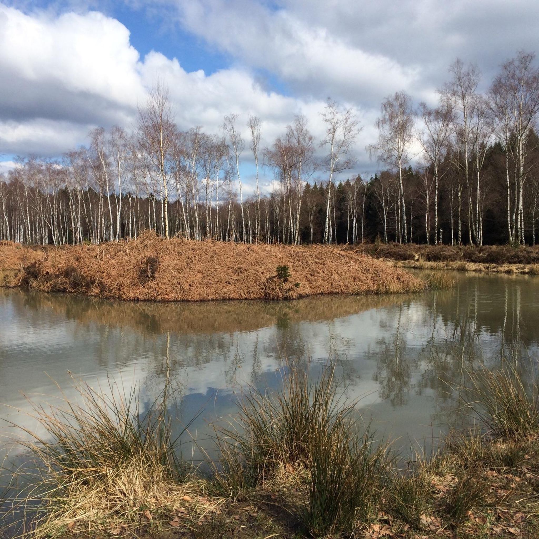
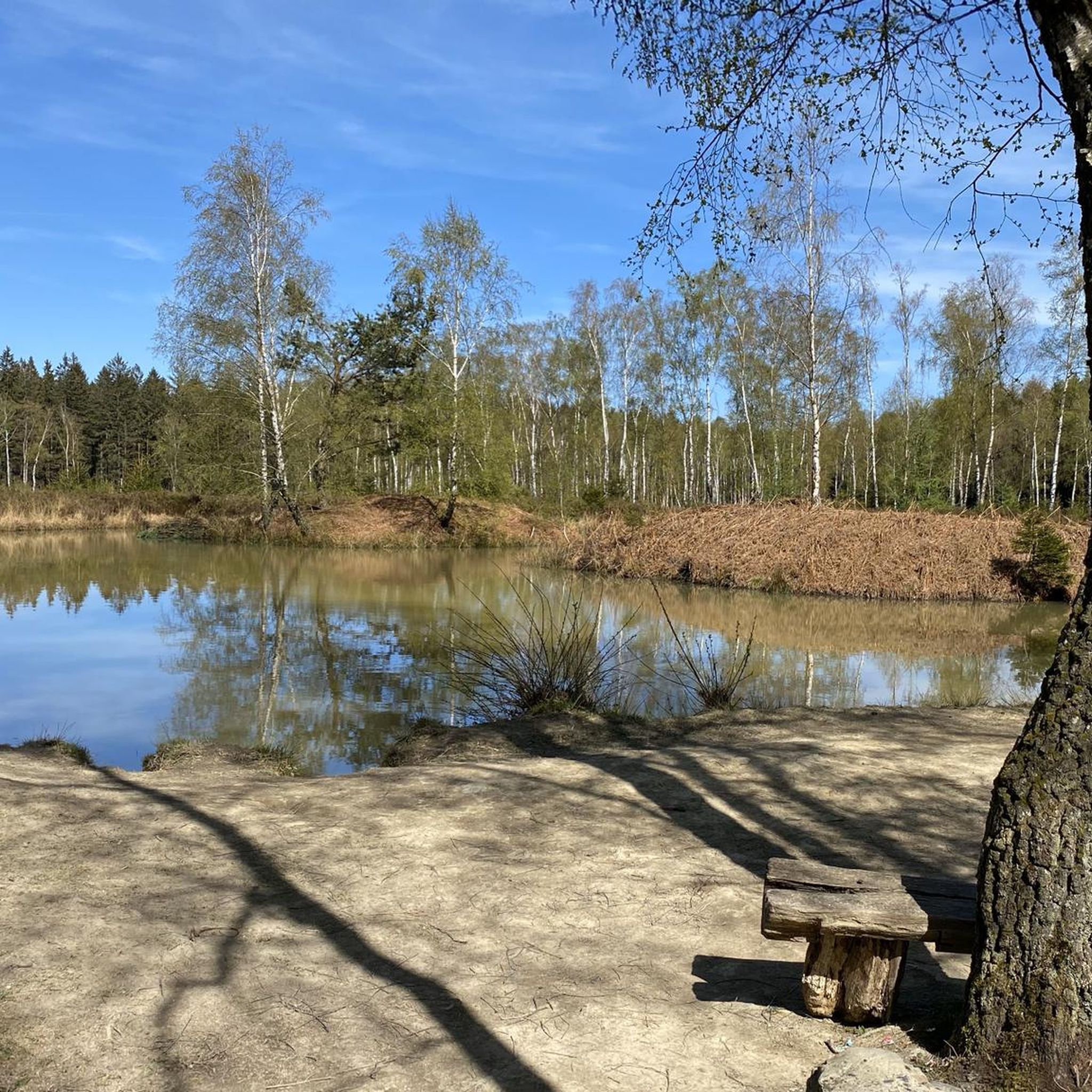
Great view of the lake
0
0

Recommended to add to your walk.
0
0
Frequently Asked Questions
How many mountaineering routes are available in Zweifaller Und Rotter Wald?
There are 5 dedicated mountaineering routes in Zweifaller Und Rotter Wald featured in this guide, all offering moderate challenges through the region's diverse landscape.
What is the typical difficulty level of mountaineering routes in this region?
All the mountaineering routes in Zweifaller Und Rotter Wald are classified as moderate. They feature engaging trails with varied terrain and elevation changes suitable for those seeking a good workout without extreme ascents.
Are there any circular mountaineering routes in Zweifaller Und Rotter Wald?
Yes, all the mountaineering routes highlighted in this guide are circular, allowing you to start and finish at the same point. For example, you can explore the Ringwall loop from Schevenhütte, which covers 6.9 miles (11.1 km).
What kind of landscape can I expect on mountaineering routes in Zweifaller Und Rotter Wald?
The region is characterized by dense woodlands, rolling hills, and varied water features like streams. You'll traverse forest paths, encounter historical sites, and enjoy moderate elevation changes, making for a diverse and engaging outdoor experience.
Are the mountaineering routes in Zweifaller Und Rotter Wald suitable for families?
Given that all routes are of moderate difficulty and traverse well-defined forest paths, many are suitable for families with older children who are accustomed to hiking. The varied scenery and points of interest can keep younger adventurers engaged. Consider the Small Waterfall on the Weser – Steinbach Bridge loop from Roetgen for a scenic option.
Can I bring my dog on the mountaineering trails?
Generally, dogs are welcome on trails in Zweifaller Und Rotter Wald, especially in forested areas. However, it's always advisable to keep them on a leash, particularly in nature reserves or near wildlife, and to check for any specific local regulations at trailheads.
Are there any waterfalls or significant water features to see on these routes?
Yes, the region is known for its varied water features. The Small Waterfall on the Weser – Weser Bridge near Roetgen loop from Roetgen specifically highlights a small waterfall and riverside scenery. You'll also encounter numerous streams and other water bodies throughout the area.
Where can I find scenic viewpoints or interesting natural features?
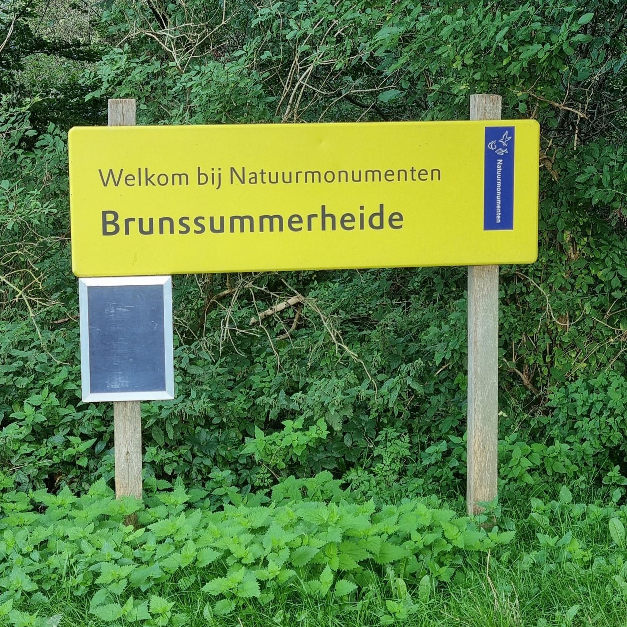
The routes often pass through picturesque woodlands and along watercourses. For specific natural features, you might encounter highlights like the Struffelt Pond or the Dragonfly Pond at Solchbach, which are part of the region's natural monuments.
What are the typical distances and elevation gains for these routes?
The mountaineering routes in Zweifaller Und Rotter Wald typically range from approximately 5.9 miles (9.6 km) to 7.4 miles (11.8 km) in distance. Elevation gains are moderate, generally between 110 meters and 290 meters, offering a good balance of challenge and accessibility.
Are there any places to stop for refreshments or shelter along the way?
Yes, the region has several huts and shelters that can provide a place to rest or take cover. Notable options include the Hubertus Hut and the At Gottfriedskreuz Shelter, which are popular spots for hikers.
What is the best time of year for mountaineering in Zweifaller Und Rotter Wald?
Spring and autumn are particularly beautiful for mountaineering in Zweifaller Und Rotter Wald, with pleasant temperatures and vibrant foliage. Summer offers lush green forests, while winter can provide a serene, snow-covered landscape, though conditions may require appropriate gear.
What kind of wildlife might I encounter on the trails?
As a densely wooded area, Zweifaller Und Rotter Wald is home to various forest animals. You might spot deer, wild boar, foxes, and a wide array of bird species. Keep an eye out for smaller creatures like squirrels and various insects, especially near water features.
How can I find more mountaineering routes in the Zweifaller Und Rotter Wald area?
You can explore more options by using the komoot app or website to search for additional tours in the Zweifaller Und Rotter Wald region. The platform offers a wide selection of routes, including alternatives to those listed here, such as the Picnic Area at the Hesselbach – View of Rursee from Kierberg loop from Strauch.
Most popular routes in Zweifaller Und Rotter Wald
Most popular attractions in Zweifaller Und Rotter Wald

Get inspired with the komoot mobile app


Explore more
Browse the best Mountain Hikes & Routes in other regions.
