The best walks and hikes in San Antonio
4.7
(10)
64
hikers
6
hikes
Hiking in San Antonio offers access to diverse landscapes, transitioning from the flat South Texas plains to the rolling hills and deep canyons of the Texas Hill Country. The region is characterized by limestone hills, riverine paths, and varied ecosystems including prairies and marshlands. Extensive trail networks run along waterways and through natural areas, providing opportunities for outdoor activity within and around the city.
Best hiking trails in San Antonio
- The most popular hiking route is Pululahua loop from Calacali…
Last updated: July 4, 2026
4.3
(3)
18
hikers
12.8km
03:59
460m
460m
Moderate hike. Good fitness required. Easily-accessible paths. Suitable for all skill levels.
16
hikers
Moderate hike. Good fitness required. Easily-accessible paths. Suitable for all skill levels.

Sign up for free
4.3
(3)
17
hikers
Moderate hike. Good fitness required. Easily-accessible paths. Suitable for all skill levels.
5.0
(1)
3
hikers
15.4km
05:25
810m
810m
Hard hike. Very good fitness required. Easily-accessible paths. Suitable for all skill levels.
5.0
(2)
8
hikers
5.92km
03:06
730m
730m
Moderate hike. Good fitness required. Easily-accessible paths. Suitable for all skill levels.
Our route recommendations are based on thousands of hikes, rides, and runs completed by other people on komoot.
Start today with a free account
Your next adventure awaits.
Login or Signup
Popular around San Antonio
Tips from the Community

Very curvy, be very careful of oncoming traffic.
0
0

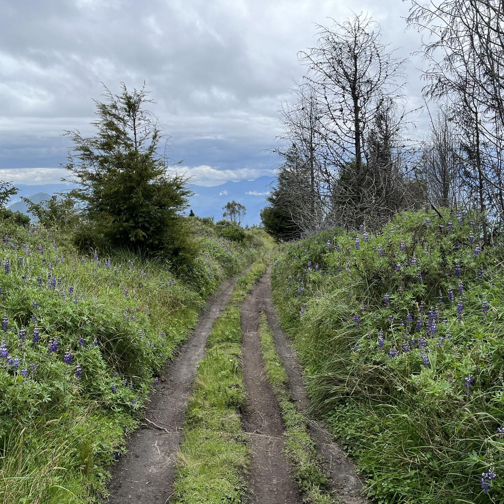
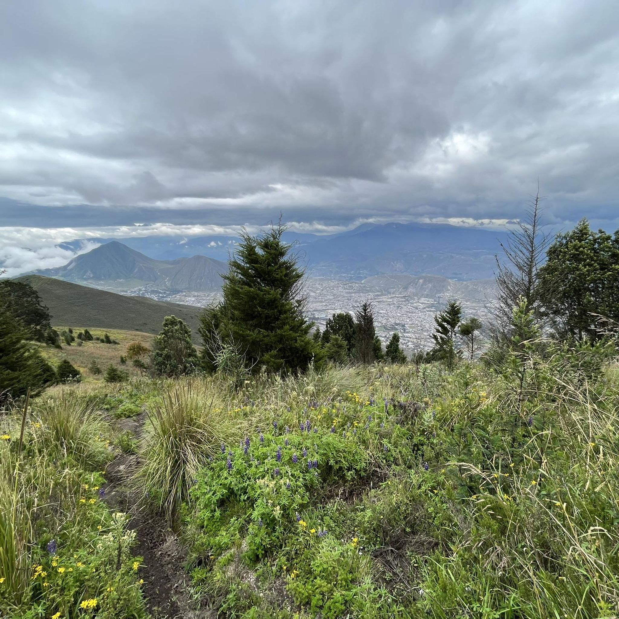
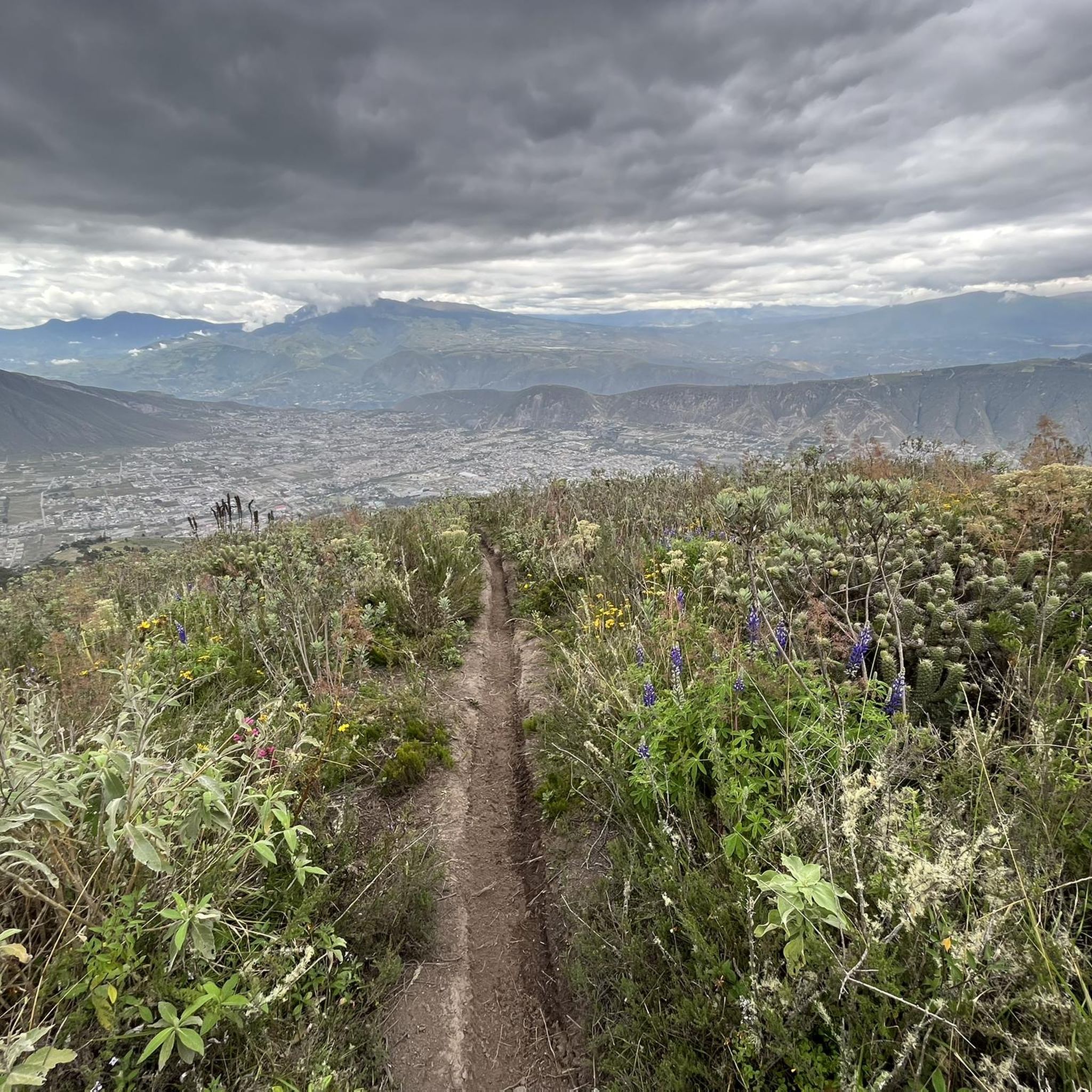
We were in the Pululahua crater and did a round trip over the Lulumbamba. The tour started at Casa l'Amore, where we had also stayed. At first a kind of sunken path led us into the valley, then we went continuously uphill on a rather overgrown path. We once missed a crucial and not immediately recognizable junction - that's the detour on the map, so you can save it - and once you get to the pass, not much is missing to the "summit" of Lulumbamba. Unfortunately, this summit is quite disappointing. On the one hand, you have to overcome a barbed wire fence to even reach it, and on the other hand, the view is largely overgrown. So we descended again and followed the high path, which offers beautiful views from the crater and into the crater. So this way was worth it! The descent into the crater was then comparable to the ascent on narrow and quite overgrown paths that stretched a little longer. You should plan 6 hours for the whole hike, preferably a little more.
1
0

Nice round tour with a wonderful view of the crater. Difficulty: easy to medium for experienced walkers. I recommend to climb up the Domo via the steeper way (left) and go down via the easy way.
2
0
Frequently Asked Questions
What kind of terrain can I expect on San Antonio hiking trails?
San Antonio's hiking trails offer a diverse landscape, transitioning from the flat South Texas plains to the rolling hills and deep canyons of the Texas Hill Country. You'll encounter limestone hills, bluffs, and canyons, as well as shaded riparian areas along rivers and creeks like the San Antonio River and Medina River. Many trails feature woodlands and unique geological formations, providing varied experiences from gentle strolls to challenging climbs.
Are there any easy hiking trails suitable for beginners in San Antonio?
Yes, San Antonio offers several easy trails perfect for beginners or those looking for a relaxed walk. For example, the Pululahua – Pululahua Dome loop from Pululahua Ecolodge is an easy 2.9-mile (4.6 km) route that takes about 1 hour 33 minutes to complete, with minimal elevation gain. Many city parks also offer paved or well-maintained natural paths.
What are some notable natural features or landmarks I can see while hiking in San Antonio?
San Antonio's trails are rich with natural beauty and unique landmarks. You can explore the dramatic limestone hills and canyons of places like Friedrich Wilderness Park, or discover 110-million-year-old dinosaur tracks at Government Canyon State Natural Area. The Mission Reach section of the San Antonio River Walk connects to historic UNESCO World Heritage Sites. For a unique geological formation, consider the Pululahua Dome, which is part of a volcanic crater.
Are there any trails with good viewpoints in San Antonio?
Absolutely. For panoramic views, Eisenhower Park features an observation tower at 1,280 feet, offering expansive vistas of the city and the Texas Hill Country. Trails in Government Canyon State Natural Area also provide challenging ridge hikes with stunning outlooks. The View of Pululahua Crater – Pululahua Dome loop from Riding Horses - Paseo a Caballo offers scenic views during its challenging ascent.
What is the best time of year to go hiking in San Antonio?
The best time to hike in San Antonio is typically during the cooler months, from late fall through early spring (October to April). Temperatures are more moderate, making for comfortable outdoor activity. Summers can be very hot and humid, so if hiking during this time, it's advisable to go early in the morning or late in the afternoon and carry plenty of water.
Are there any circular hiking routes in San Antonio?
Yes, many trails in San Antonio are designed as loops, offering varied scenery without retracing your steps. An example is the Descent to the Volcano Floor loop from Reserva Geobotánica Pululahua, a moderate 8-mile (12.8 km) trail. The city's extensive Greenway Trails System also includes numerous loop options through diverse landscapes.
What do other hikers enjoy most about hiking in San Antonio?
The hiking trails in San Antonio are highly rated by the komoot community, with an average score of 4.7 stars from 10 reviews. Hikers often praise the diverse terrain, from challenging climbs to serene riverside paths, and the opportunity to explore unique natural features and historical sites. The variety of options for different ability levels is also frequently highlighted.
Is public transport available to reach hiking trails in San Antonio?
VIA Metropolitan Transit provides bus services that can take you to some of San Antonio's parks and trailheads. For example, routes serve areas near Eisenhower Park, Phil Hardberger Park, and McAllister Park. It's recommended to check the specific VIA Metropolitan Transit routes and schedules for your desired park to plan your journey effectively.
Are there any fees or permits required for hiking in San Antonio's parks?
While many city parks in San Antonio offer free access, some natural areas or state parks may have entrance fees or require permits. For instance, Government Canyon State Natural Area typically has an entrance fee. It's always best to check the official website of the specific park or natural area you plan to visit for the most up-to-date information on fees and any required permits.
Can I find cafes or accommodation near San Antonio hiking trails?
Yes, depending on the trail's location, you can often find amenities nearby. Trails within the city limits, such as those along the San Antonio River Walk or in larger urban parks, are usually close to cafes, restaurants, and various accommodation options. For more remote natural areas like Government Canyon State Natural Area, options might be further afield, so planning ahead is advisable.
Are there any challenging hikes in San Antonio for experienced hikers?
Experienced hikers looking for a challenge will find options in San Antonio. The Pululahua – View of Pululahua Crater loop from Pululahua Ecolodge is a difficult 9.5-mile (15.4 km) trail with significant elevation gain, often taking over 5 hours to complete. Friedrich Wilderness Park and Government Canyon State Natural Area also offer rugged terrain and strenuous trails with considerable elevation changes.
What kind of wildlife might I encounter on San Antonio hiking trails?
San Antonio's diverse ecosystems support a variety of wildlife. On trails, you might spot white-tailed deer, armadillos, and various bird species, including the endangered golden-cheeked warbler in parks like Friedrich Wilderness Park. Riparian areas along rivers are home to diverse aquatic life and waterfowl. Always observe wildlife from a distance and avoid disturbing their natural habitats.
Most popular routes in San Antonio
Most popular attractions in San Antonio

Get inspired with the komoot mobile app


Explore more
Browse the best Hikes in other regions.
