The best walks and hikes in Pomasqui
4.8
(7)
46
hikers
5
hikes
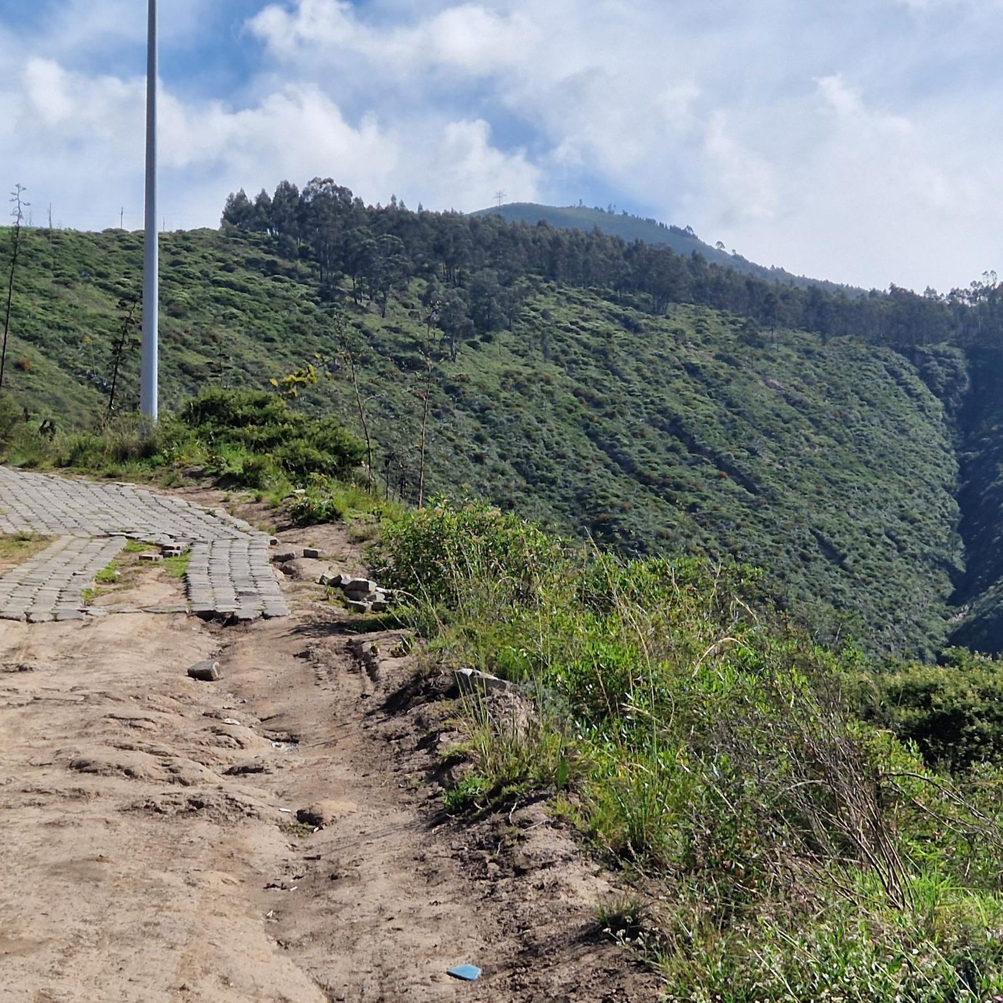
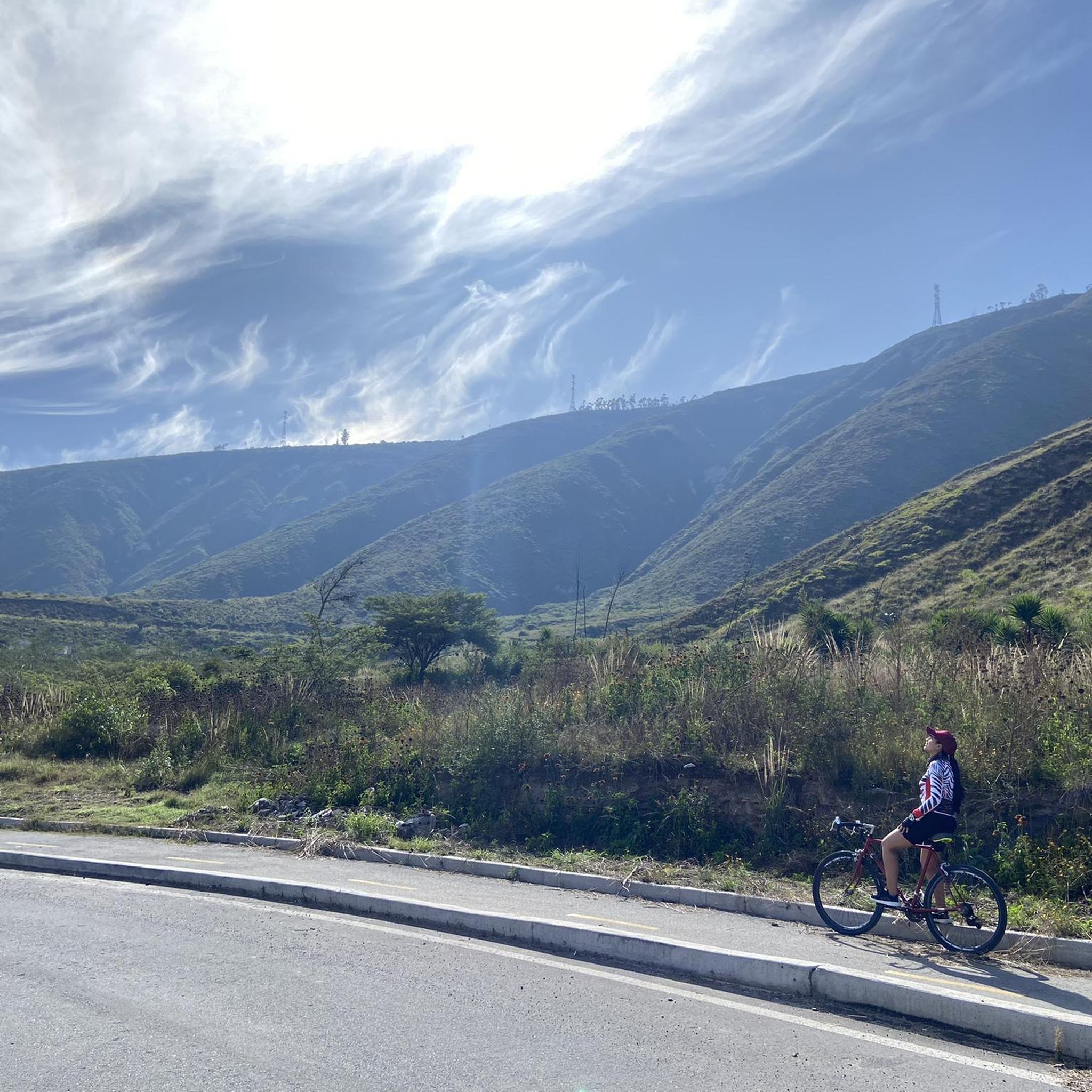
Hiking in Pomasqui offers exploration within the Chocó Andino Biosphere Reserve, characterized by a comfortable climate and diverse landscapes. The region provides panoramic views of majestic volcanoes like Cotopaxi and Cayambe, alongside vistas of the Calderón and Tumbaco valleys. The Monjas River traverses the area, contributing to picturesque paths, while nearby hills, including those around the Pululahua Crater, offer varied terrain.
Best hiking trails in Pomasqui
- The most popular hiking route is View of Pululahua Crater – Pululahua Dome loop…
Last updated: July 4, 2026
16
hikers
Moderate hike. Good fitness required. Easily-accessible paths. Suitable for all skill levels.
4.3
(3)
17
hikers
Moderate hike. Good fitness required. Easily-accessible paths. Suitable for all skill levels.

Sign up for free
5.0
(1)
3
hikers
15.4km
05:25
810m
810m
Hard hike. Very good fitness required. Easily-accessible paths. Suitable for all skill levels.
5.0
(2)
8
hikers
5.92km
03:06
730m
730m
Moderate hike. Good fitness required. Easily-accessible paths. Suitable for all skill levels.
5.0
(1)
2
hikers
4.63km
01:34
210m
210m
Easy hike. Great for any fitness level. Easily-accessible paths. Suitable for all skill levels.
Our route recommendations are based on thousands of hikes, rides, and runs completed by other people on komoot.
Start today with a free account
Your next adventure awaits.
Login or Signup

Tips from the Community

Very curvy, be very careful of oncoming traffic.
0
0

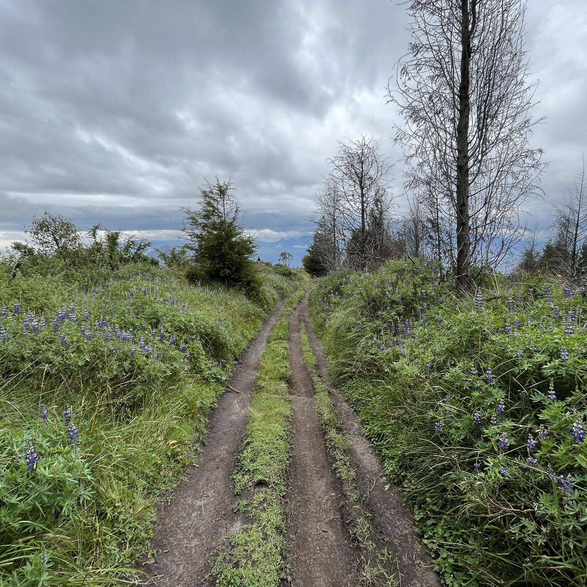
We were in the Pululahua crater and did a round trip over the Lulumbamba. The tour started at Casa l'Amore, where we had also stayed. At first a kind of sunken path led us into the valley, then we went continuously uphill on a rather overgrown path. We once missed a crucial and not immediately recognizable junction - that's the detour on the map, so you can save it - and once you get to the pass, not much is missing to the "summit" of Lulumbamba. Unfortunately, this summit is quite disappointing. On the one hand, you have to overcome a barbed wire fence to even reach it, and on the other hand, the view is largely overgrown. So we descended again and followed the high path, which offers beautiful views from the crater and into the crater. So this way was worth it! The descent into the crater was then comparable to the ascent on narrow and quite overgrown paths that stretched a little longer. You should plan 6 hours for the whole hike, preferably a little more.
1
0

Nice round tour with a wonderful view of the crater. Difficulty: easy to medium for experienced walkers. I recommend to climb up the Domo via the steeper way (left) and go down via the easy way.
2
0
Frequently Asked Questions
What kind of terrain and landscapes can I expect on Pomasqui's hiking trails?
Pomasqui offers a diverse range of landscapes, primarily characterized by unique volcanic scenery, including the impressive Pululahua Crater. You'll also find trails traversing river valleys, such as the Monjas River, and ascending Andean slopes like Cerro Casitagua and Cerro Catequilla. Expect panoramic views of prominent volcanoes like Cotopaxi and Cayambe, along with the Calderón and Tumbaco valleys.
Are there hiking options for all skill levels in Pomasqui?
Yes, Pomasqui provides hiking options for various abilities. You'll find trails ranging from easy walks, like the Pululahua – Pululahua Dome loop from Pululahua Ecolodge (4.6 km), to moderate routes, and even more challenging ascents such as the Pululahua – View of Pululahua Crater loop from Pululahua Ecolodge (15.4 km).
What are some notable natural features or landmarks to see while hiking in Pomasqui?
Many trails offer views of the iconic Pululahua Crater, one of the few inhabited volcanic craters in the world. You can also explore areas near Cerro Catequilla, an important archaeological and astronomical site located directly on the equator. For specific points of interest, consider visiting the Pululahua Dome or the Mitad del Mundo Plaza nearby.
What is the best time of year to go hiking in Pomasqui?
Pomasqui is known as the 'Valley of the beautiful temperature' and enjoys a mild climate year-round, typically ranging from 14°C to 18°C. This makes it comfortable for hiking throughout the year. However, the dry season generally offers clearer skies and better visibility for panoramic views of the surrounding volcanoes.
Are there any circular hiking routes in Pomasqui?
Yes, Pomasqui features several circular routes. A popular option is the View of Pululahua Crater – Pululahua Dome loop from Riding Horses - Paseo a Caballo, which is 8.2 km long. Another longer circular trail is the Sincholagua loop from Club Pucará, covering 5.9 km.
What do other hikers enjoy most about hiking in Pomasqui?
The hiking trails in Pomasqui are highly rated by the komoot community, with an average score of 4.8 stars from over 7 reviews. Hikers often praise the stunning volcanic landscapes, the diverse biodiversity, and the panoramic views of the Andes and surrounding valleys.
Are there family-friendly hiking trails in Pomasqui?
Yes, there are options suitable for families. The hike to Cerro Catequilla, for instance, is considered easy with a gentle slope, making it a good choice for families. Additionally, the Pululahua – Pululahua Dome loop from Pululahua Ecolodge is an easy 4.6 km trail that can be enjoyed by families.
Is Pomasqui easily accessible from Quito, and what are the transport options?
Pomasqui is very accessible, located just about 15 minutes north of Quito. This proximity makes it a convenient destination for city dwellers. While specific public transport routes to trailheads aren't detailed, its close distance to the capital suggests various transport options are available.
Are there any specific permits required for hiking in the Pululahua Geobotanical Reserve?
While the Pululahua Geobotanical Reserve is a protected area, specific permit requirements for general hiking are not always necessary for day visits. However, it's always advisable to check with local authorities or the reserve's administration for the most current regulations before your visit, especially for guided tours or specific activities.
What is the typical duration for hikes in Pomasqui?
Hike durations in Pomasqui vary significantly depending on the trail's length and difficulty. For example, an easy route like the Pululahua – Pululahua Dome loop from Pululahua Ecolodge can take around 1 hour 30 minutes. More challenging routes, such as the Pululahua – View of Pululahua Crater loop from Pululahua Ecolodge, might take over 5 hours 25 minutes to complete.
Are there any cultural or historical sites near the hiking trails in Pomasqui?
Beyond its natural beauty, Pomasqui offers cultural attractions. The Sanctuary of the Lord of the Tree is a notable site that can be incorporated into your visit, blending outdoor activity with cultural exploration. Additionally, Cerro Catequilla is not only a hiking spot but also an important archaeological site.
Most popular routes in Pomasqui
Most popular attractions in Pomasqui

Get inspired with the komoot mobile app


Explore more
Browse the best Hikes in other regions.
