The best walks and hikes in Malchingui
4.7
(11)
117
hikers
6
hikes
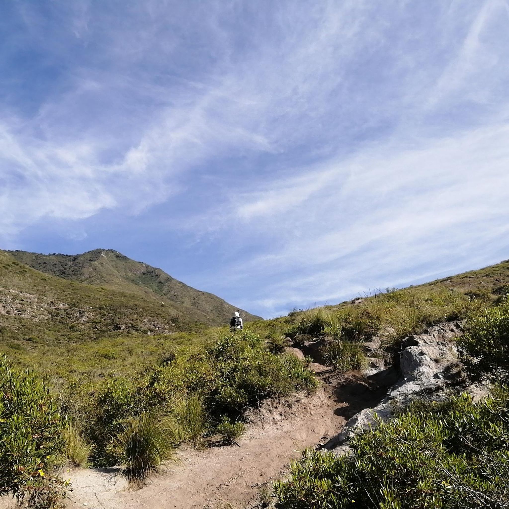
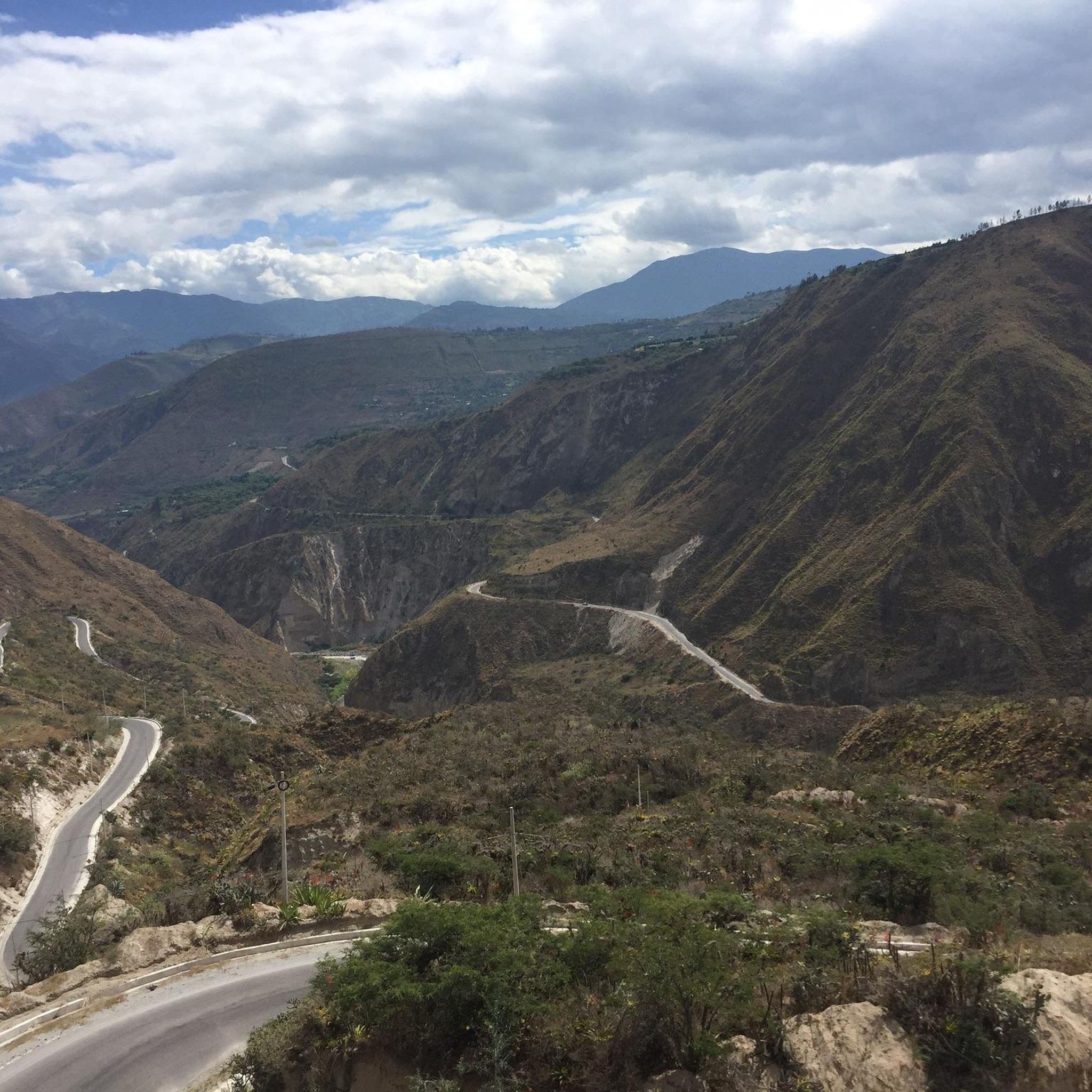
Hiking in Malchingui offers diverse terrain, ranging from warm, dry river plains to cold Andean páramos at elevations up to 4,600 meters. This "micro-verticality climate" supports varied ecosystems, including grasslands and native forests. The region is characterized by significant Andean landscapes, featuring high-altitude lagoons like the Lagunas de Mojanda and prominent peaks such as Fuya Fuya. Hikers can experience distinct environments and admire diverse flora within a relatively compact area.
Best hiking trails in Malchingui
- The most popular hiking route…
Last updated: July 4, 2026
4.8
(6)
79
hikers
3.64km
01:56
460m
460m
Moderate hike. Good fitness required. Easily-accessible paths. Suitable for all skill levels.
12
hikers
5.42km
02:32
480m
480m
Hard hike. Good fitness required. Sure-footedness, sturdy shoes and alpine experience required.

Sign up for free
5.0
(2)
4
hikers
19.3km
06:48
980m
980m
Hard hike. Very good fitness required. Sure-footedness, sturdy shoes and alpine experience required.
4.0
(1)
13
hikers
12.5km
04:32
720m
720m
Moderate hike. Good fitness required. Easily-accessible paths. Suitable for all skill levels.
1
hikers
13.0km
04:25
580m
580m
Moderate hike. Good fitness required. Easily-accessible paths. Suitable for all skill levels.
Our route recommendations are based on thousands of hikes, rides, and runs completed by other people on komoot.
Start today with a free account
Your next adventure awaits.
Login or Signup
Popular around Malchingui

Tips from the Community


From this panoramic point (about 4,000 meters above sea level) you can observe the three lagoons that form the Lagunas de Mojanda complex: Caricocha lagoon, Huarmicocha lagoon and Chiriacu lagoon. The climb on the dirt road to get here is challenging but the ride on the dark volcanic sand is an unforgettable experience.
1
0
The Lagunas de Mojanda is a complex of three lagoons that formed within the cone of an inactive stratovolcano. The first lagoon, the largest is called Laguna Caricocha. The road to reach the lagoon from Otavalo is very steep and cobbled, but the view and tranquility are worth the effort.
0
0
Nice excursion to a total of 3 lagoons. It takes about 45 minutes by taxi from Otavalo, the road is uneven cobblestone and very winding. Arrived at the lagoon you can hike on the Fuya Fuya, the hiking trails are not labeled but well trodden. When it rains, it can quickly get very muddy. We didn't go all the way to the top because the top was cloudy. The ascent should be feasible in less than 2 hours.
0
0
Frequently Asked Questions
How many hiking trails are available in Malchingui?
There are 6 hiking trails in Malchingui, offering a range of experiences from moderate to difficult. These routes are highly rated by the komoot community, with an average score of 4.9 stars.
What kind of terrain and difficulty can I expect on Malchingui's hiking trails?
Malchingui's hiking trails feature diverse terrain, from warm, dry river plains to cold Andean páramos at elevations up to 4,600 meters. You can expect significant elevation changes and challenging climbs, particularly around the high-altitude lagoons and peaks like Fuya Fuya. Most routes are classified as moderate to difficult.
Are there any circular hiking routes in Malchingui?
Yes, Malchingui offers several excellent circular routes. A popular option is the Fuja Fuja Peak – Fuya Fuya loop from Mojanda Lakes, a moderate 2.2-mile (3.6 km) trail. For a more challenging experience, consider the Fuya Fuya – Laguna Grande de Mojanda loop from camping, which is 3.4 miles (5.5 km) with significant elevation gain.
What are the best natural features or viewpoints to see while hiking in Malchingui?
The region is renowned for its stunning natural features. The Laguna Grande de Mojanda and the other Mojanda Lakes (Caricocha, Huarmicocha, Chiriacu) are central to many hikes, offering breathtaking high-altitude scenery. The Scenic viewpoint Lagunas de Mojanda provides expansive vistas. Additionally, the Mirador el Campanario offers panoramic views of the Malchingui parish and distant volcanoes.
Are there any family-friendly hiking options in Malchingui?
While many trails in Malchingui involve significant elevation and are rated moderate to difficult, the Bosque Protector Jerusalén (Jerusalem Protective Forest) offers easier, more accessible paths suitable for families. This area provides a peaceful retreat with various activities beyond hiking, such as guided walks and ecological train rides.
Can I bring my dog on the hiking trails in Malchingui?
Many natural areas in Ecuador, including parts of the páramos around Mojanda, are generally dog-friendly, especially on established trails. However, it's always advisable to keep dogs on a leash to protect local wildlife and ensure their safety, particularly in high-altitude environments. Check for specific local regulations at trailheads.
What is the best time of year to go hiking in Malchingui?
Malchingui's climate, characterized by 'micro-verticality,' means conditions can vary. Generally, the dry season (roughly June to September) offers clearer skies and less muddy trails, making it ideal for hiking. However, even during the rainy season, mornings can often be clear, though you should be prepared for potentially muddy conditions and sudden weather changes in the páramos.
Are there any permits required for hiking in Malchingui, especially around Lagunas de Mojanda or Fuya Fuya?
For general hiking in the Lagunas de Mojanda and Fuya Fuya area, specific permits for day hiking are not typically required for access to the trails themselves. However, it's always good practice to check with local authorities or park rangers upon arrival, as regulations can change. Some protected areas might have entrance fees.
What are the parking facilities like at Malchingui trailheads, particularly for the Mojanda Lakes?
Parking facilities near the Lagunas de Mojanda trailheads are generally available, often in designated areas or near camping spots. While not always formal paved lots, you can usually find space to park your vehicle. It's recommended to arrive early, especially on weekends, to secure a spot and to ensure your vehicle is left in a safe location.
What other attractions are there to explore near Malchingui besides hiking?
Beyond hiking, Malchingui and its surroundings offer several interesting attractions. You can visit the historic Iglesia de Malchinguí, explore the unique Bosque Protector Jerusalén, or delve into ancient history at the Parque Arqueológico de Investigación "Cochasquí" with its pre-Inca pyramids. The famous Mitad del Mundo Plaza, marking the equatorial line, is also within reach.
Is public transport available to reach hiking trailheads in Malchingui?
Public transport options to reach the more remote trailheads, such as those around Lagunas de Mojanda, can be limited. While buses might serve the main town of Malchingui, reaching specific trail starting points often requires private transport, a taxi, or a pre-arranged shuttle. Inquire locally for the most current and reliable options.
What do other hikers enjoy most about hiking in Malchingui?
The hiking routes in Malchingui are highly rated by the komoot community, with an average score of 4.9 stars. Hikers frequently praise the stunning Andean páramo landscapes, the challenging yet rewarding climbs to viewpoints, and the serene beauty of the high-altitude lagoons like Laguna Grande de Mojanda. The sense of adventure and connection with nature are often highlighted.
Most popular routes in Malchingui
Most popular attractions in Malchingui

Get inspired with the komoot mobile app


Explore more
Browse the best Hikes in other regions.
