The best cycling routes in Latacunga
19
riders
6
rides
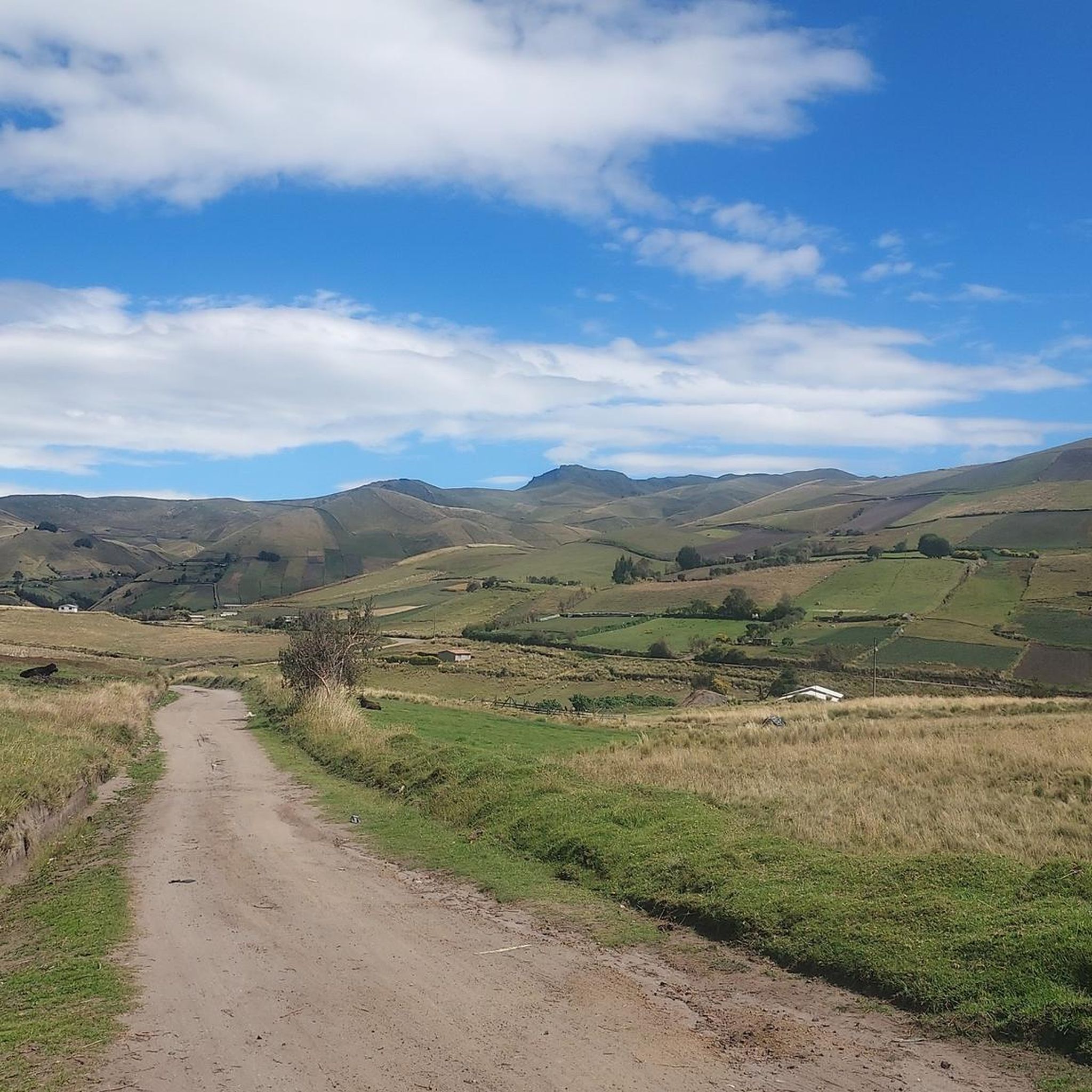
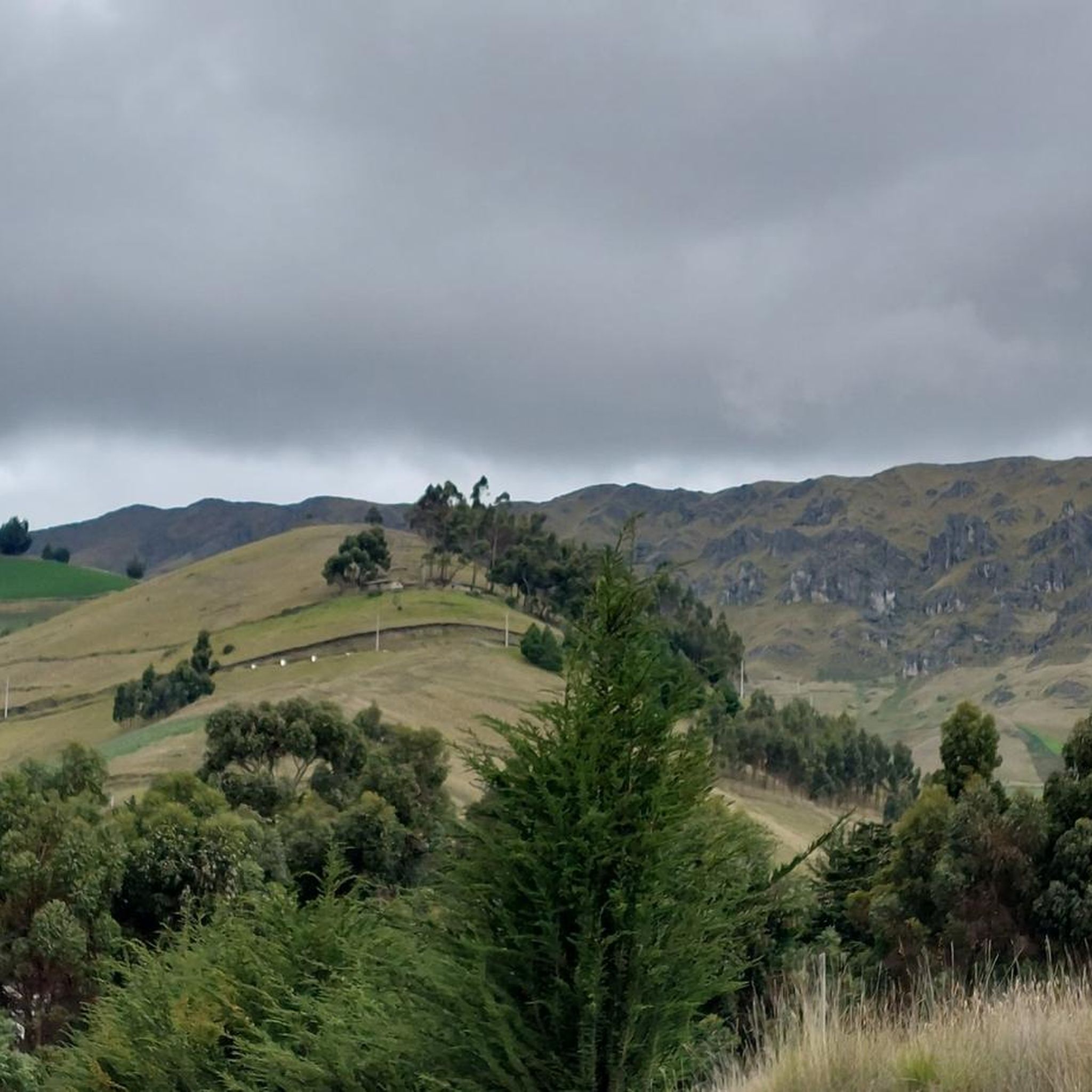
Touring cycling in Latacunga offers routes through the central highlands of Ecuador, characterized by diverse Andean landscapes and significant elevation changes. The region features volcanic terrain, páramo, and agricultural areas, providing varied riding experiences. Latacunga serves as a base for exploring the "Avenue of Volcanoes," with routes often traversing valleys and high-altitude plains. The area's physical features include views of prominent volcanoes and river systems.
Best touring cycling routes in Latacunga
- The most popular touring cycling route is Lasso loop…
Last updated: July 4, 2026
6
riders
29.3km
02:29
770m
770m
Hard bike ride. Very good fitness required. Mostly paved surfaces. Suitable for all skill levels.
6
riders
27.4km
02:05
560m
560m
Hard bike ride. Very good fitness required. Mostly paved surfaces. Suitable for all skill levels.

Sign up for free
3
riders
23.7km
01:51
300m
300m
Moderate bike ride. Good fitness required. Mostly paved surfaces. Suitable for all skill levels.
1
riders
29.4km
02:13
450m
450m
Hard bike ride. Very good fitness required. Mostly paved surfaces. Suitable for all skill levels.
1
riders
39.3km
03:00
860m
860m
Hard bike ride. Very good fitness required. Mostly paved surfaces. Suitable for all skill levels.
Our route recommendations are based on thousands of hikes, rides, and runs completed by other people on komoot.
Start today with a free account
Your next adventure awaits.
Login or Signup
Popular around Latacunga
Tips from the Community

A nice little place with a hotel and an incredible market on Thursdays. Absolutely worthwhile if you can take the market with you on your tour.
0
0

Frequently Asked Questions
How many touring cycling routes are available in Latacunga?
Latacunga offers a selection of 6 touring cycling routes, catering to various skill levels. These routes provide an excellent way to explore the diverse Andean landscapes of the region.
What kind of terrain can I expect on touring cycling routes in Latacunga?
The terrain in Latacunga is highly varied, ranging from wide plains beneath volcanoes to rugged Andean highlands, cloud forests, and volcanic valleys. You'll encounter both paved and gravel roads, with routes often traversing high-altitude páramo ecosystems and agricultural areas. The region is known for its significant elevation changes, providing challenging but rewarding rides.
What natural features or landmarks can I see while cycling in Latacunga?
Cycling in Latacunga offers breathtaking views of the "Avenue of Volcanoes," including the majestic Cotopaxi and Chimborazo. Routes often pass through or near the Cotopaxi National Park, where you might see Limpiopungo Lake and local wildlife like alpacas. The famous Quilotoa Lagoon is also accessible from Latacunga, offering stunning crater lake views. Some routes, like the View of the River loop from Latacunga, provide scenic vistas of local river systems.
Are there any scenic loop routes for touring cyclists?
Yes, Latacunga features several scenic loop routes. A popular option is the Lasso loop from San Miguel de Salcedo, which takes you through stunning Andean landscapes. Another great choice is the Saquisilí Market loop from Saquisilí, offering a journey through farmlands and local villages.
Are there routes suitable for beginners or families?
While many routes in Latacunga are rated as difficult due to significant elevation changes and high altitudes, there is a moderate option available. The Bike loop from Latacunga is a moderate 23.7 km route that could be more suitable for those seeking a less strenuous ride or families with some cycling experience. However, all riders should be prepared for the high-altitude environment.
What are the elevation challenges for touring cyclists in Latacunga?
Latacunga is situated at 2,800 meters (9,200 feet) above sea level, and many routes reach over 4,000 meters (13,000 feet). This means significant elevation gains are common. For example, the Lasso loop from San Miguel de Salcedo involves over 860 meters of ascent, and the View of the River loop from Latacunga includes over 770 meters of climbing. Acclimatization is highly recommended before undertaking these challenging rides.
What is the best time of year for touring cycling in Latacunga?
The best time to cycle in Latacunga generally aligns with the drier seasons in the Ecuadorian Andes. While specific weather patterns can vary, the months from June to September and December to February often offer more stable weather conditions with less rain, making them ideal for high-altitude cycling and enjoying clear views of the volcanoes.
Can I experience local culture or villages on these routes?
Absolutely. Many routes pass through charming villages and agricultural areas, offering a glimpse into local Andean traditions. The "Route of the White Towns" starting from Latacunga, for instance, takes you through villages like Salcedo, known for its colonial architecture and local markets, and Pujilí. The Saquisilí Market loop from Saquisilí is another excellent route for experiencing local life and markets.
Is public transport accessible for cyclists in Latacunga?
While Latacunga is a central hub, specific information regarding public transport options for cyclists (e.g., buses that accommodate bikes) is not readily available. It's advisable to check with local transport providers or tour operators upon arrival for the most current and practical advice on combining cycling with public transport.
Are there places to eat or stay near the cycling routes?
Latacunga and the surrounding towns like Salcedo and Saquisilí offer various amenities. You'll find cafes, restaurants, and accommodation options in these villages, especially in Latacunga itself, which serves as a base for exploring the region. It's a good idea to plan your route to include stops in these towns for refreshments and rest.
What should I know about cycling at high altitude in Latacunga?
Cycling in Latacunga means riding at significant altitudes, often above 2,800 meters (9,200 feet). This requires good physical fitness and, ideally, a period of acclimatization to avoid altitude sickness. Be prepared for cooler temperatures, strong sun exposure, and potentially rapid weather changes. Always carry enough water, sun protection, and appropriate layers of clothing.
Most popular routes in Latacunga

Get inspired with the komoot mobile app


Explore more
Browse the best Cycling routes in other regions.
