The best MTB trails in Licto
5.0
(26)
24
riders
5
rides
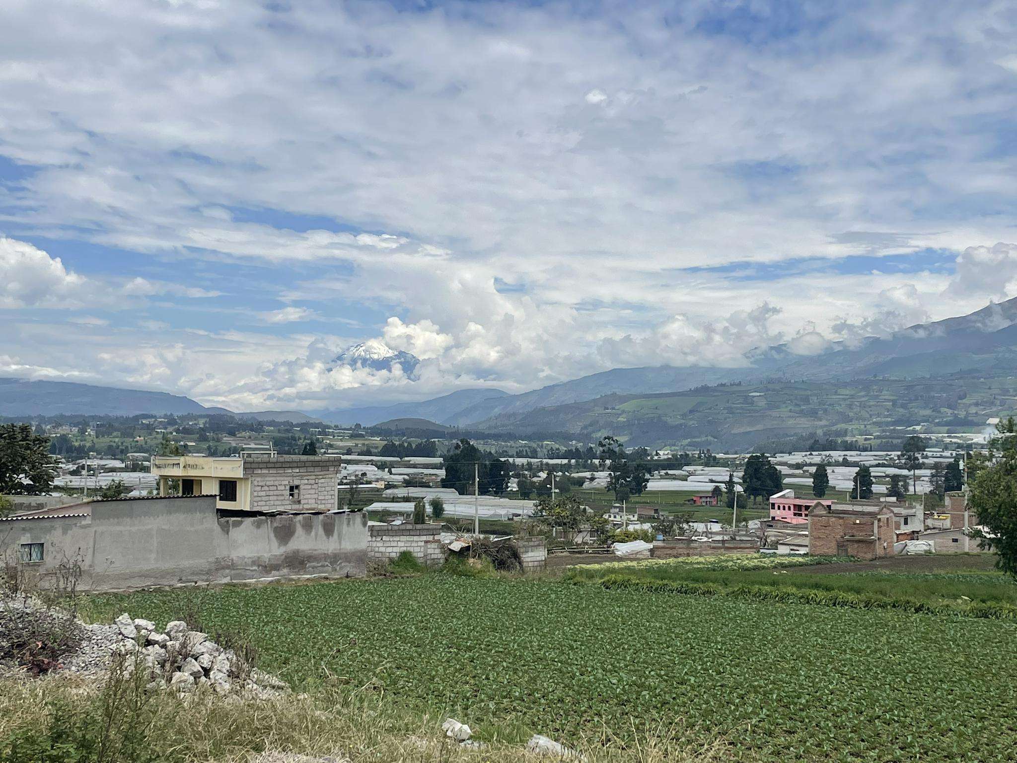
Mountain bike trails in Licto are situated within the Ecuadorian Andes, a region characterized by its mountainous terrain and diverse ecosystems. The area features high-altitude Andean landscapes, including páramo grasslands and volcanic backdrops. Mountain biking here often involves challenging routes with varied terrain, including ascents and descents. The region's elevation averages around 2,847 meters (9,341 feet), offering a distinct riding experience.
Best mountain bike trails in Licto
- The most popular mountain bike trail is Tola (Llallas) loop from Riobamba,…
Last updated: July 4, 2026
5.0
(4)
9
riders
38.5km
02:31
390m
390m
Moderate mountain bike ride. Good fitness required. Suitable for all skill levels.
5.0
(14)
9
riders
44.4km
02:47
550m
550m
Moderate mountain bike ride. Good fitness required. Suitable for all skill levels.

Sign up for free
5.0
(7)
2
riders
35.4km
02:19
550m
550m
Moderate mountain bike ride. Good fitness required. Suitable for all skill levels.
5.0
(1)
2
riders
27.0km
01:41
350m
350m
Moderate mountain bike ride. Good fitness required. Suitable for all skill levels.
2
riders
57.3km
03:46
920m
920m
Hard mountain bike ride. Very good fitness required. Suitable for all skill levels.
Our route recommendations are based on thousands of hikes, rides, and runs completed by other people on komoot.
Start today with a free account
Your next adventure awaits.
Login or Signup
Popular around Licto


Frequently Asked Questions
What kind of terrain can I expect on mountain bike trails around Licto?
The mountain bike trails in the Licto area traverse diverse Andean landscapes. You'll encounter high-altitude páramo grasslands, volcanic backdrops, and varied surfaces including dirt roads, single-tracks, and potentially sandy sections through volcanic moraines. The region's elevation, averaging around 2,847 meters (9,341 feet), means significant ascents and descents are common.
What are the typical elevation changes on mountain bike routes near Licto?
Given Licto's location in the Ecuadorian Andes, you can expect substantial elevation changes. Routes often feature significant climbs and descents. For example, the Jardin loop from Agencia Nacional de Transito Riobamba includes over 540 meters of ascent and descent, while the most difficult route, Area verde – area verde loop from Estación del Tren Riobamba, involves over 920 meters of climbing and descending.
Are there any family-friendly mountain bike trails in Licto?
While the trails in Licto are generally rated moderate to difficult due to the high-altitude and varied terrain, some moderate routes might be suitable for families with experienced riders. It's important to consider the significant elevation changes and overall length. Always check the specific route details for suitability.
What is the best time of year for mountain biking in Licto?
The Ecuadorian Andes generally experience two main seasons: a dry season (roughly June to September) and a wet season (October to May). The dry season typically offers more stable weather conditions, making it ideal for mountain biking. However, even in the dry season, weather can change rapidly at high altitudes, so always be prepared for varying conditions.
Are there any circular mountain bike routes available?
Yes, several popular mountain bike routes in the Licto area are designed as loops. Examples include the Tola (Llallas) loop from Riobamba, the Jardin loop from Agencia Nacional de Transito Riobamba, and various Area verde – área verde loops from Estación del Tren Riobamba, offering convenient starting and ending points.
What do other mountain bikers enjoy most about the trails in Licto?
The mountain biking experience in Licto is highly rated by the komoot community, with an average score of 5.0 stars from over 25 reviews. Riders often praise the breathtaking high-altitude Andean landscapes, the challenging and varied terrain, and the panoramic views of the surrounding volcanoes and páramo.
Are there any specific viewpoints or natural features to look out for on the trails?
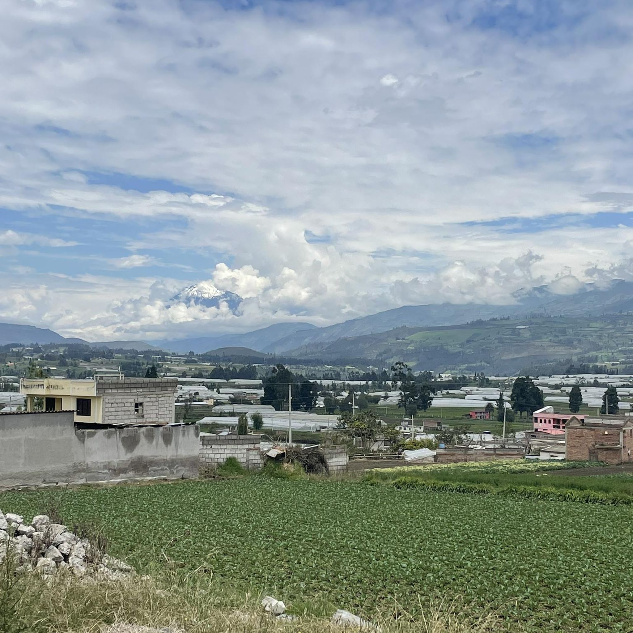
The region around Licto is part of the 'Avenue of Volcanoes,' offering stunning views of iconic peaks like Chimborazo. Many routes provide panoramic vistas across the Andean landscape, vast páramo grasslands, and diverse ecosystems. Keep an eye out for local wildlife such as vicuñas and alpacas, especially on routes closer to the Chimborazo slopes.
How long do mountain bike trails in Licto typically take to complete?
The duration of mountain bike trails in Licto varies depending on their length and difficulty. Moderate routes like the Tola (Llallas) loop from Riobamba (38.5 km) can take around 2 hours 30 minutes, while longer and more difficult trails, such as the 57.1 km Area verde – area verde loop from Estación del Tren Riobamba, might require over 3 hours 45 minutes.
Is it possible to access mountain bike trails using public transport?
Licto itself is a smaller town, but its proximity to Riobamba, a major city and adventure hub, suggests that public transport options to and from Riobamba are available. Many routes, such as the Jardin loop and Area verde – área verde loop, start from locations within or near Riobamba, making them potentially accessible via local transport or a short taxi ride from the city center.
What is the general difficulty level of mountain biking in Licto?
Mountain biking in Licto ranges from moderate to difficult. The region's high altitude and varied Andean terrain contribute to challenging routes with significant elevation gains and descents. There are 4 moderate routes and 1 difficult route listed in the area, catering to riders with different experience levels.
Are there any specific considerations for high-altitude mountain biking in Licto?
Yes, Licto is situated at an elevation of 2838 meters, and many trails ascend even higher. It's crucial to be physically fit and allow for acclimatization if you are not used to high altitudes. Be aware of potential symptoms of altitude sickness and carry plenty of water and appropriate gear for rapidly changing weather conditions.
Most popular routes in Licto

Get inspired with the komoot mobile app


Explore more
Browse the best MTB trails in other regions.
