The best gravel rides around Orton
15
riders
5
rides
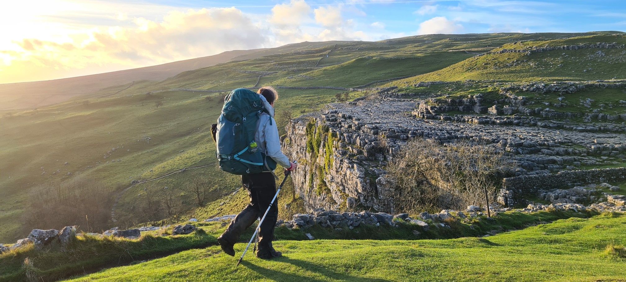
Gravel biking around Orton offers routes through a landscape characterized by limestone fells, rolling hills, and expansive moorlands within the Yorkshire Dales National Park. The area features distinctive geological formations such as limestone pavements, creating varied terrain suitable for gravel cyclists. While tree cover is generally sparse, routes often traverse open pastures delineated by stone walls. This region provides a blend of challenging climbs and scenic backroads, with some western fells extending into the Lake District National Park.
Best gravel…
Last updated: May 20, 2026
5
riders
34.2km
02:20
530m
530m
Hard gravel ride. Very good fitness required. Mostly paved surfaces. Suitable for all skill levels.
4
riders
Hard gravel ride. Very good fitness required. Mostly paved surfaces. Suitable for all skill levels.

Sign up for free
3
riders
Moderate gravel ride. Good fitness required. Mostly paved surfaces. Suitable for all skill levels.
1
riders
54.3km
03:59
1,120m
1,120m
Hard gravel ride. Very good fitness required. Mostly paved surfaces. Suitable for all skill levels.
2
riders
25.6km
02:15
730m
730m
Hard gravel ride. Very good fitness required. Mostly paved surfaces. Suitable for all skill levels.
Our route recommendations are based on thousands of hikes, rides, and runs completed by other people on komoot.
Start today with a free account
Your next adventure awaits.
Login or Signup


Tips from the Community


Not much traffic on this road but surface is a bit mixed so keep your eyes open for pot holes!
0
0

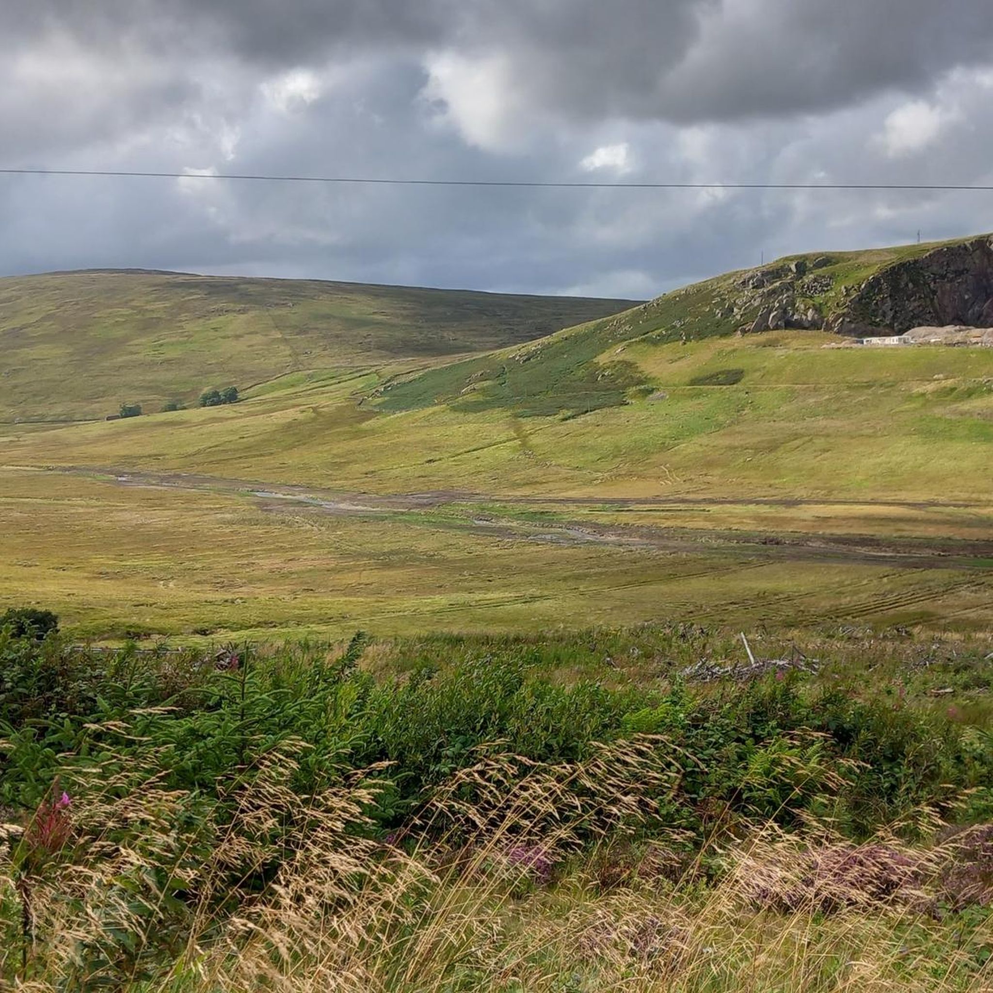
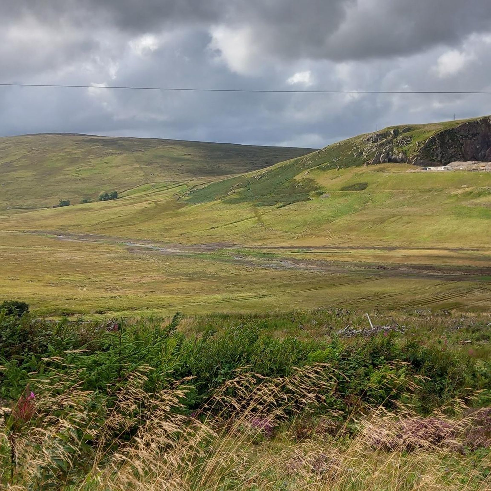
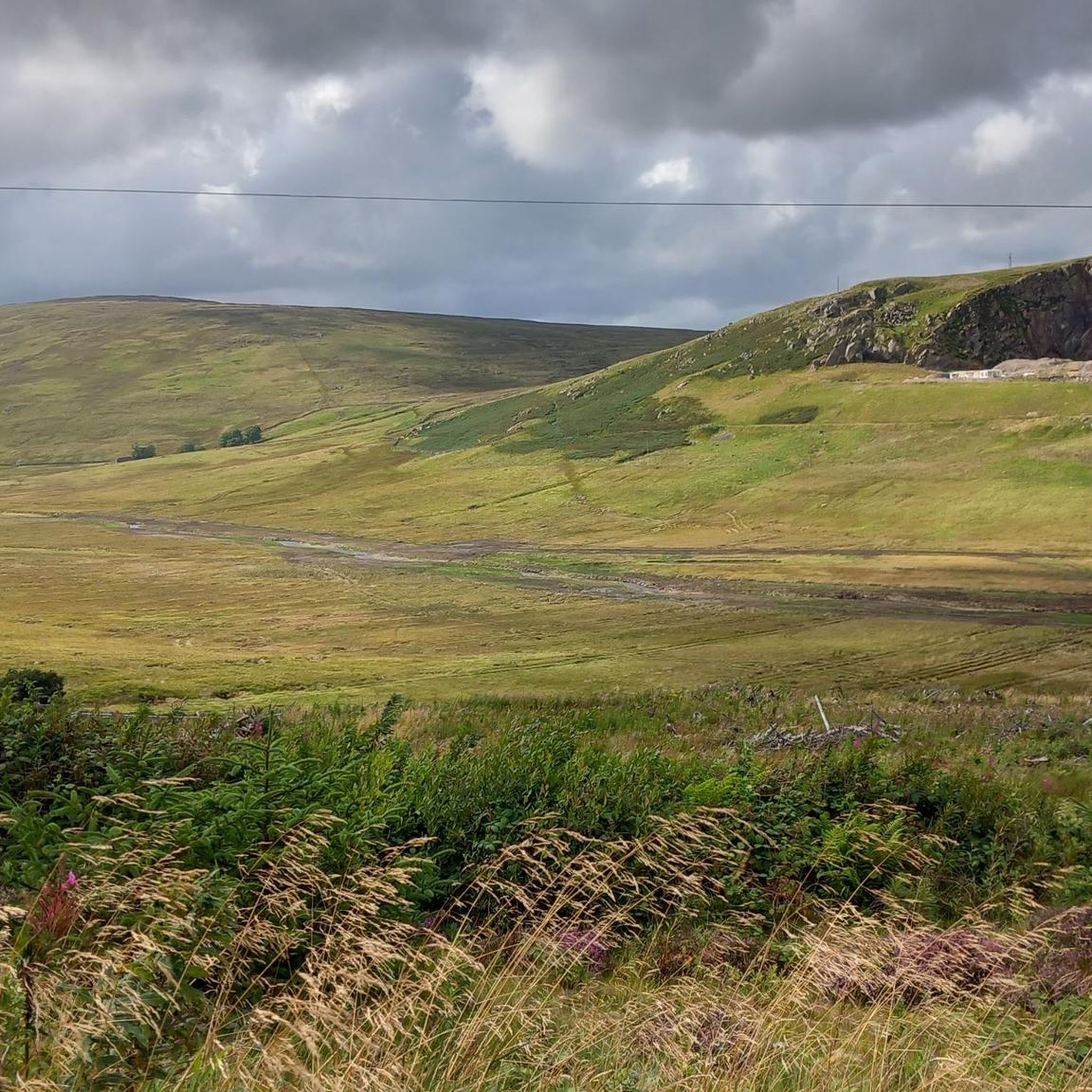
Big climb with great views down the valley towards Hucks Brow and Shap Road.
0
0
Big climb on a normal mtb but well worth it for the ride down off-road into the valley below. Then you just have to decide which of the two routes to take to get to Hucks Brow.
1
0

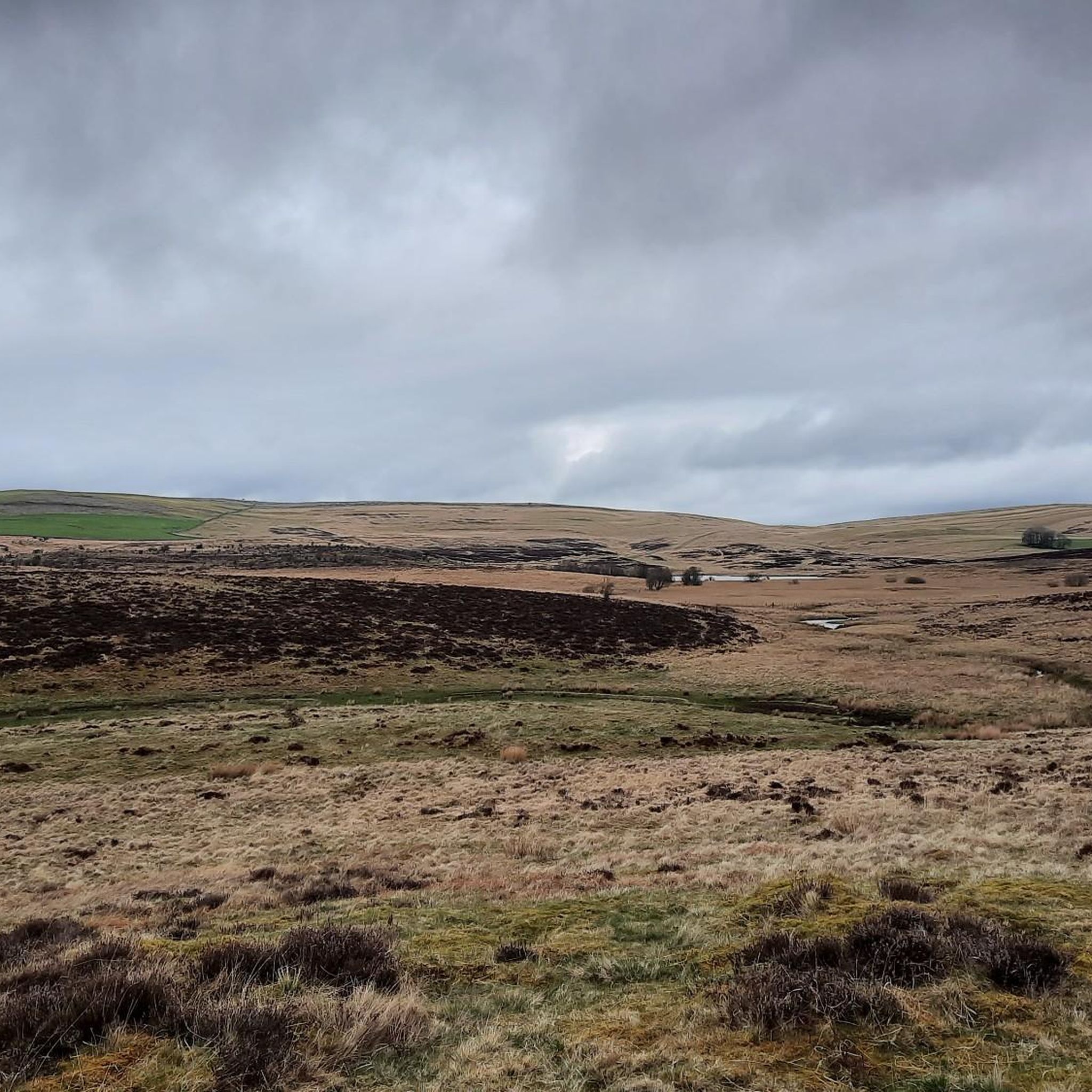
Very mixed surface, sometimes chunky, loose gravel, sometimes wet, potholed doubletrack - tough riding
0
0
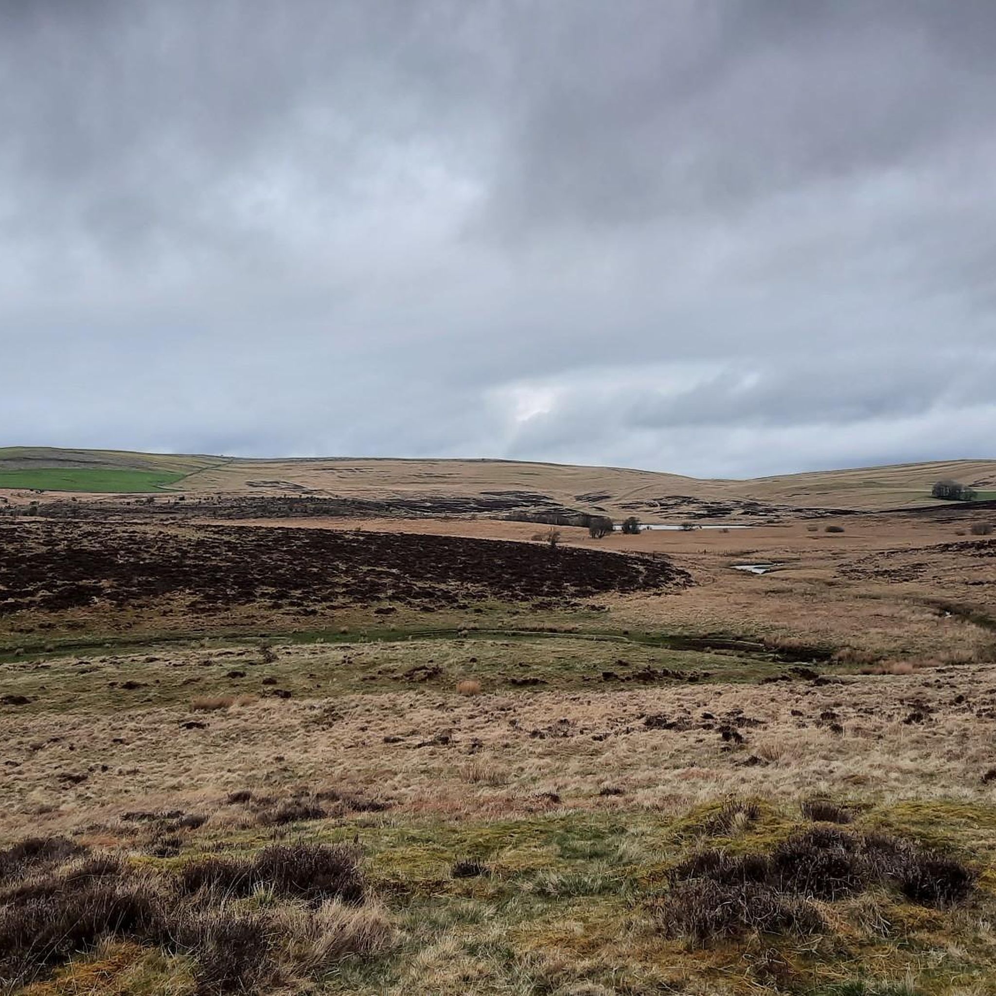
I rode this after, and during, heavy rain (early Dec '24) so that the track was carrying almost as much water as the beck - made for a very tough ride. I'm sure that if the clouds cleared the views would have been fantastic
0
0
Surface is a bit mixed but makes for a nice alternative to the A6!
0
0

Come out of sedbergh and head for kendal. It's a climb to get to the top, but if you stop to catch your breath, look over towards the howgills and take in the views, when I get to the top I like to go left down the old scotch Rd towards kirkby lonsdale it's like a valley on top of a hill I just love the remoteness.
0
0
Frequently Asked Questions
How many gravel bike trails are available around Orton?
There are several gravel bike trails around Orton, with komoot featuring 6 routes that cater to various preferences. These routes offer a mix of moderate and difficult options, ensuring there's something for most gravel cyclists.
What kind of terrain can I expect on gravel bike trails near Orton?
Gravel biking around Orton features a diverse landscape of limestone fells, rolling hills, and expansive moorlands within the Yorkshire Dales National Park. You'll encounter distinctive geological formations like limestone pavements, along with open pastures delineated by stone walls. Some routes also include 'tasty canyons, rockin' ridgelines, and mellow forested backroads,' providing a varied and engaging experience.
Are there gravel routes suitable for beginners or families?
While many routes around Orton are rated difficult due to significant elevation gain, there is at least one moderate option available. The View of Borrowdale Valley – Gated Road South of Shap loop from Borrowdale Wood is an 11.8-mile moderate path that offers scenic views and includes sections of gated roads, which might be more suitable for those looking for a less strenuous ride.
What are some scenic viewpoints along the gravel trails?
The Orton area offers stunning vistas. You might encounter expansive views from places like Orton Scar, which on a clear day can stretch to the Lake District, Howgill Fells, and the Eden Valley. Specific viewpoints highlighted in the region include Grey Crag Summit and Wild Boar Fell Summit Shelter, offering panoramic views of the fells.
Are there any natural features like waterfalls or lakes to see on the routes?
Yes, the region boasts beautiful natural features. You can find Cautley Spout Waterfall, a notable natural monument. Additionally, the area is home to several lakes, including the 'unusual small lake' Sunbiggin Tarn, known for its diverse bird and animal life, and Gurnal Dubs Tarn.
What is the best time of year for gravel biking in Orton?
The best time for gravel biking in Orton is generally during the spring, summer, and early autumn months when the weather is milder and the trails are drier. The landscape, with its rolling hills and heather-covered moorlands, is particularly vibrant during these seasons. Winter can bring challenging conditions, including colder temperatures and potentially wet or icy trails.
Are there any circular gravel bike routes in the Orton area?
Yes, many of the gravel routes around Orton are designed as loops, allowing you to start and finish in the same location. For example, the Lowgill Viaduct – View of Lune Gorge loop from Yorkshire Dales National Park is a difficult 30.3-mile circular route, offering a comprehensive tour of the local landscape.
What can I find in Orton village after a ride?
Orton village itself is a charming and peaceful place to explore. You can visit the historic All Saints Church, enjoy local amenities like a pub and café, or even stop by Kennedy's Chocolate Factory. The village also hosts a monthly farmers market, perfect for sampling local produce and crafts.
Are there any particularly challenging gravel routes for experienced riders?
For experienced riders seeking a challenge, Orton offers several difficult routes with significant elevation gain. The Gated Road South of Shap – Heart-Shaped Wood, Lune Valley loop from Sedbergh School is a particularly demanding 54.3-mile route with over 1100 meters of ascent, providing a substantial test for advanced gravel bikers.
What makes the Orton Fells unique for gravel biking?
The Orton Fells are unique due to their distinctive limestone geology. You'll ride through areas with stunning limestone pavements, formed by glacial action, which create a rugged and visually interesting terrain. The fells offer expansive views and a sense of remoteness, making for a memorable gravel biking experience within the Yorkshire Dales National Park.
Are there routes that combine views of the Lune Valley with other features?
Absolutely. The Heart-Shaped Wood, Lune Valley – View of Borrowdale Valley loop from Tebay is a popular 11.4-mile difficult route that takes you through rolling hills and open fells, offering beautiful views of both the Lune Valley and Borrowdale Valley.
Most popular attractions around Orton

Get inspired with the komoot mobile app


Explore more
Browse the best Gravel rides in other regions.
