The best gravel rides around Chandler
4.0
(1)
69
riders
6
rides
Gravel bike trails Chandler Arizona are set within the Sonoran Desert, offering a unique blend of urban accessibility and natural desert landscapes. The region features an extensive network of multi-use canal paths, providing relatively flat terrain suitable for various skill levels. Regional parks near Chandler contribute diverse off-road trails, including gravel and natural dirt surfaces, with mild elevation changes. This environment provides varied terrain for gravel cyclists, from long, easy stretches to more challenging routes through desert flora.
Best gravel…
Last updated: July 7, 2026
20
riders
Hard gravel ride. Very good fitness required. Mostly paved surfaces. Suitable for all skill levels.
4.0
(1)
14
riders
45.0km
02:44
30m
30m
Moderate gravel ride. Good fitness required. Mostly paved surfaces. Suitable for all skill levels.

Sign up for free
7
riders
53.8km
04:04
90m
90m
Moderate gravel ride. Good fitness required. Mostly paved surfaces. Suitable for all skill levels.
2
riders
25.5km
01:29
30m
30m
Easy gravel ride. Great for any fitness level. Mostly paved surfaces. Suitable for all skill levels.
7
riders
Easy gravel ride. Great for any fitness level. Mostly paved surfaces. Suitable for all skill levels.
Our route recommendations are based on thousands of hikes, rides, and runs completed by other people on komoot.
Start today with a free account
Your next adventure awaits.
Login or Signup
Tips from the Community

Great short trail, beautiful view of Arizona town, airport, kids friendly with care, not wheelchair friendly. No drowns,
0
0

The fitness loop around the golf course is perfect for a Gravel bike.
1
0

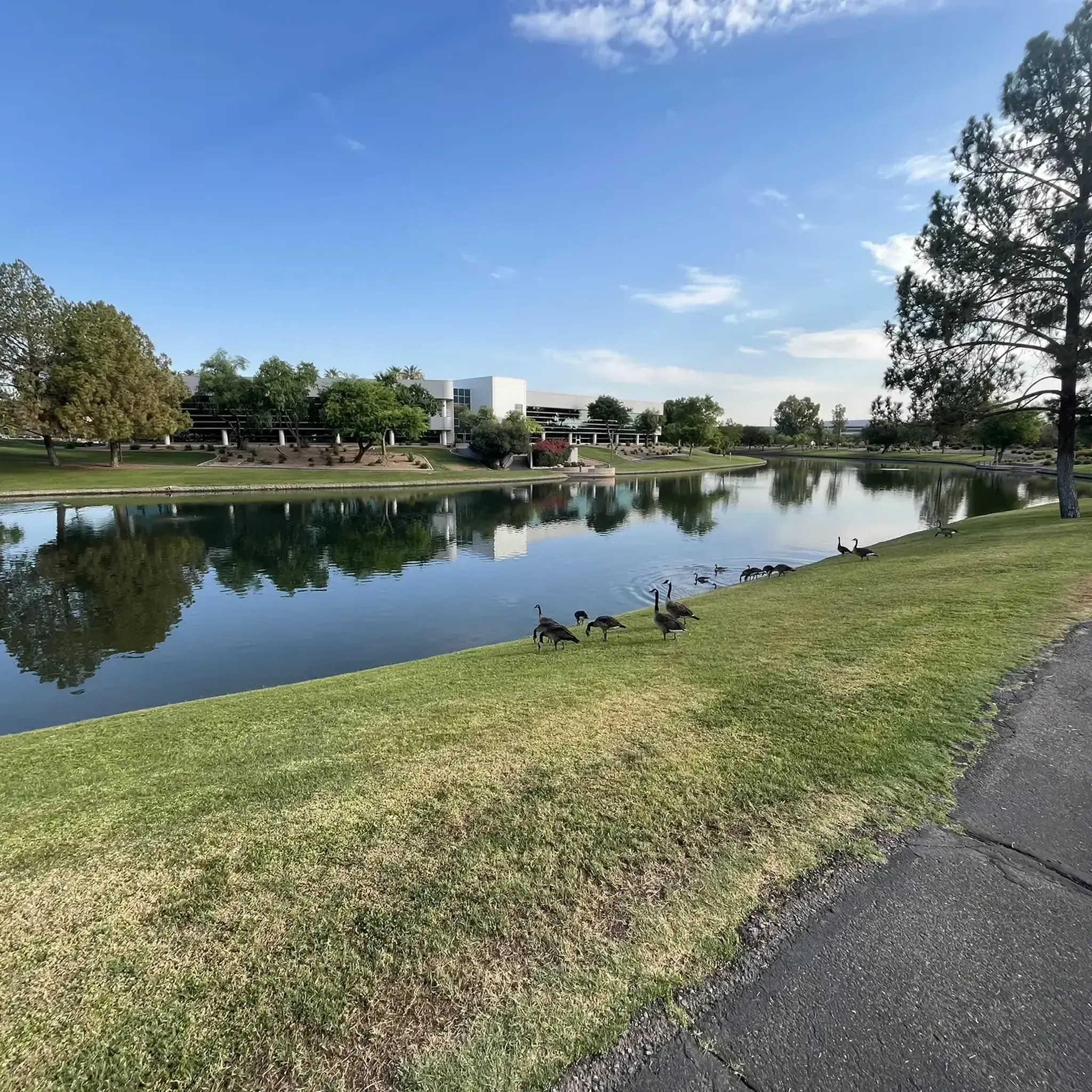
Greenfield Lakes Golf Course is another beautiful green spot along the canal biking systems. Animals that live in the Phoenix urban area will come here for a drink of water, and the golf course is public.
0
0

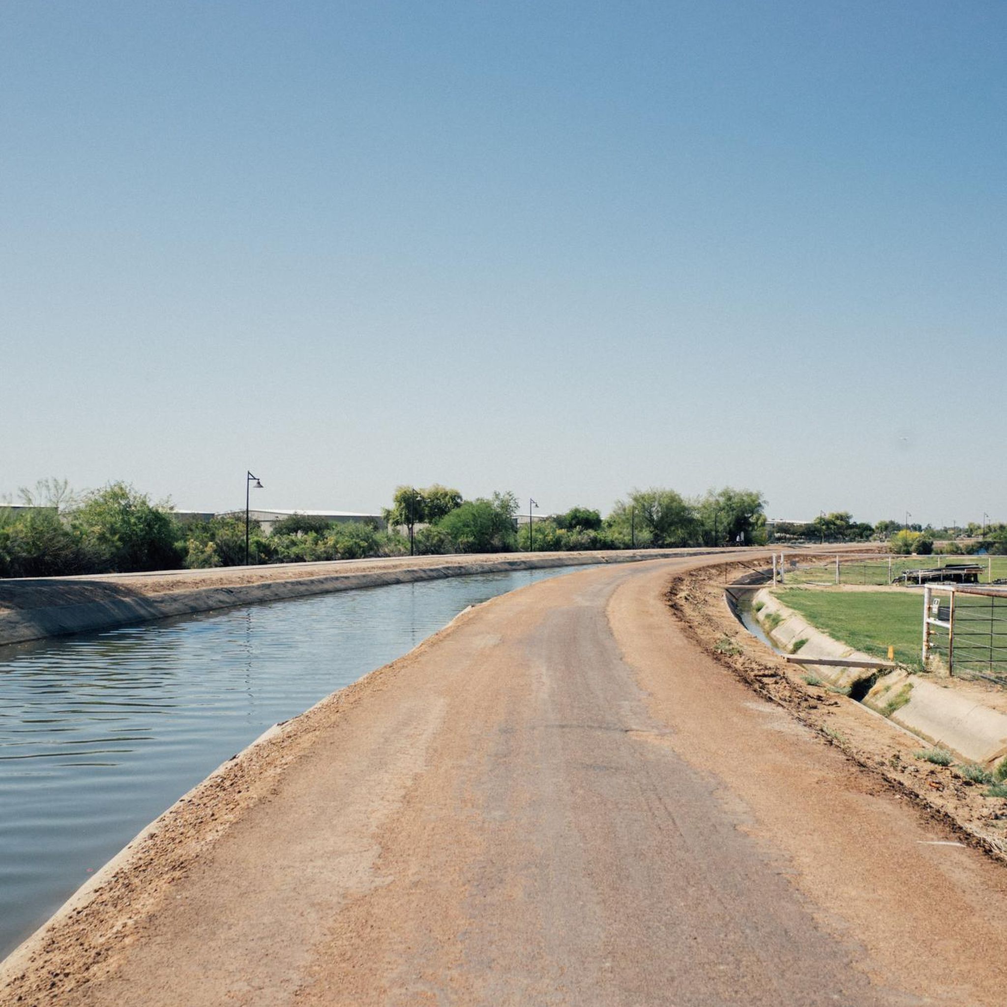
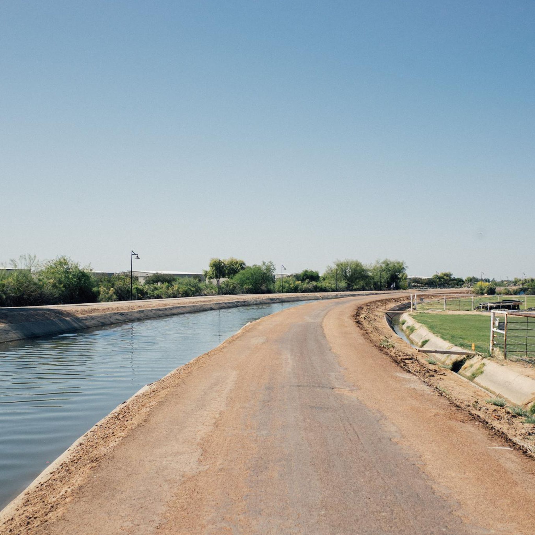
Sun Circle Trail is a paved multi-use path that goes parallel to the Arizona Canal, Southern Canal and Consolidated Canal, connecting the cities of the Phoenix urban area. The entire loop trail has 300 miles, passing by several parks and preserved open areas.
0
0
stay safe it's busy at night near downtown
0
0
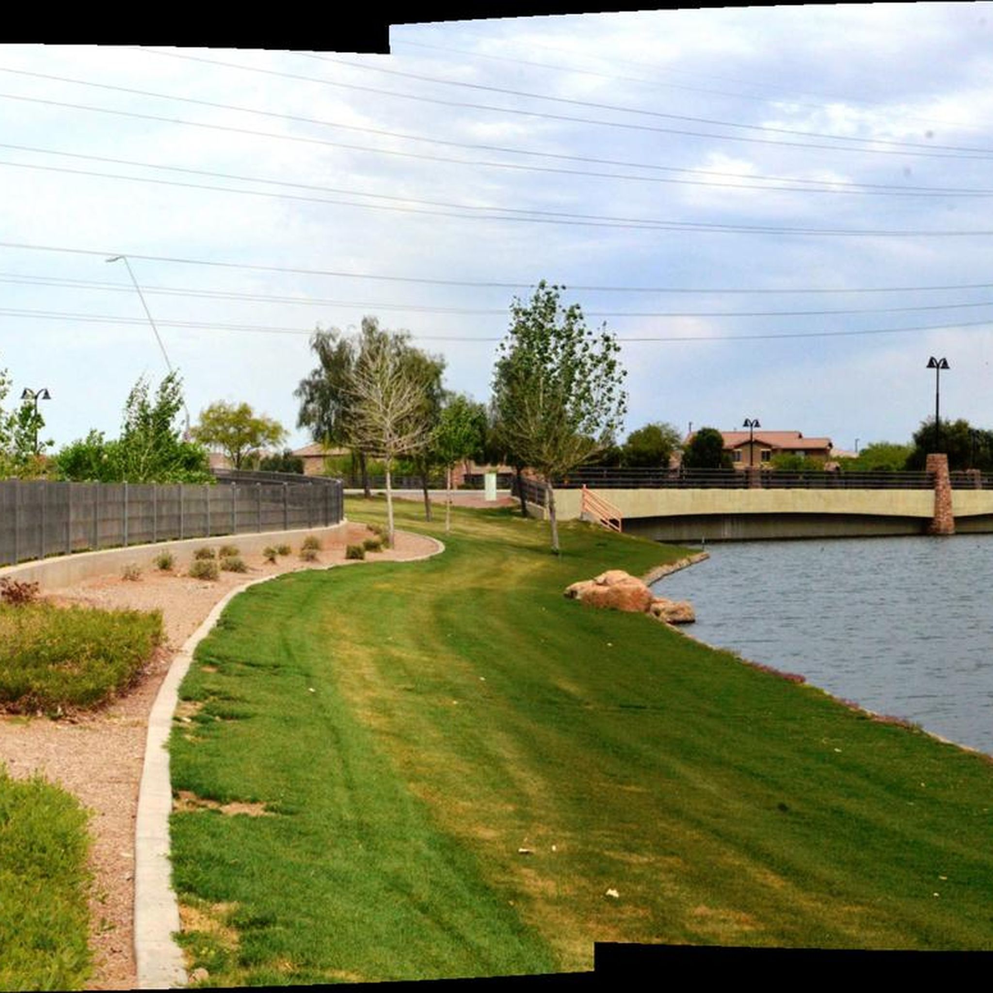
Freestone Pond creates a nice atmosphere within the Freestone Park area. The pond is surrounded by grassy open areas, palm trees and picnic tables. This is a man-made pond, with small falls connecting the two sections of the pond, offering a refreshing place to take a break and enjoy the facilities of the park area.
0
0

Easy to access from the city, perfect for post work laps
0
0
Generally quiet and a lovely way to avoid the roads.
0
0
Frequently Asked Questions
What types of gravel biking trails can I find around Chandler?
Chandler offers a diverse range of gravel biking experiences. You'll find extensive multi-use canal paths, such as sections of the Consolidated Canal Trail and Arizona Canal Path, which provide relatively flat terrain suitable for various skill levels. Additionally, regional parks like San Tan Mountain Regional Park and Veterans Oasis Park offer more varied off-road trails, including gravel and natural dirt surfaces with mild elevation changes, set against the backdrop of the Sonoran Desert.
Are there any beginner-friendly gravel routes in Chandler?
Yes, Chandler has options for beginners. The canal paths are generally flat and accessible. For a specific route, consider the Gravel loop from Southern/Los Alamos, which is an easy 15.9-mile trail leading through desert and suburban greenways, often completed in about 1 hour 29 minutes.
What are some longer gravel biking routes for experienced riders?
For those seeking a longer challenge, the Elmore Pedestrian Bridge – Arizona Canal Path loop from Veterans Way/ College Ave is a substantial 47.3-mile trail that follows extensive canal pathways, offering long stretches of gravel through the desert landscape. It typically takes around 5 hours 55 minutes to complete.
Can I find loop trails for gravel biking in Chandler?
Many of the gravel routes around Chandler are designed as loops, allowing you to start and finish at the same point. Examples include the popular Elmore Pedestrian Bridge – Arizona Canal Path loop from Veterans Way/ College Ave and the Salt River Picnic Area loop from Habitat Island.
What is the best time of year for gravel biking in Chandler?
Chandler boasts over 300 days of sunshine annually, making it a reliable destination for outdoor activities year-round. However, the cooler months from late fall through early spring (October to April) are generally preferred for gravel biking to avoid the intense summer heat. Winter offers particularly pleasant conditions.
Are there any scenic gravel bike trails with good views?
Absolutely. Many trails offer scenic views of the Sonoran Desert. Routes along the canal paths provide expansive desert vistas, while parks like San Tan Mountain Regional Park offer stunning desert landscapes with iconic saguaro cacti. The Salt River Picnic Area loop from Habitat Island, for instance, navigates through areas with desert vegetation and offers open views.
What nearby attractions or landmarks can I see while gravel biking?
While gravel biking around Chandler, you can explore various natural and recreational highlights. You might encounter areas like the Riparian Preserve at Water Ranch or pass by Kiwanis Park. Further afield, you can find natural features like Fat Man's Pass or enjoy a View of Phoenix from Mormon Lookout, though these might require a slight detour from the immediate gravel paths.
Are there any family-friendly gravel biking options?
Yes, the relatively flat and well-maintained canal paths are excellent for family rides. They offer a safe and enjoyable environment for cyclists of all ages. Veterans Oasis Park also features both paved and dirt trails with mild elevation changes, suitable for beginner to intermediate riders, making it a good choice for families.
Where can I find parking for gravel bike trails in Chandler?
Many trailheads and parks in and around Chandler offer designated parking. For specific routes, it's advisable to check the starting point of the tour on komoot, as parking information is often included. Regional parks like San Tan Mountain Regional Park and Veterans Oasis Park have visitor parking facilities. For general information on parks and trails, you can visit the Visit Chandler website.
Are there restrooms available along the gravel bike trails?
Restroom availability varies by trail. Major parks such as San Tan Mountain Regional Park and Veterans Oasis Park typically have restroom facilities. Along the extensive canal paths, amenities can be more spread out, so it's wise to plan accordingly and utilize facilities at parks or commercial areas near the trail access points.
What do other gravel bikers enjoy most about riding in Chandler?
The komoot community frequently praises Chandler's gravel biking for its unique blend of urban accessibility and natural desert beauty. Riders often highlight the extensive network of multi-use canal paths for their long, relatively flat stretches, and the diverse off-road trails in regional parks that offer stunning Sonoran Desert vistas and wildlife viewing opportunities.
Are there any gravel routes that pass by coffee shops or places to eat?
While many gravel routes in Chandler traverse natural desert landscapes and canal paths, the city's urban accessibility means you're often not far from amenities. Routes that pass through or near urban greenways, like the Greenfield Lakes Golf Course – Eastern Canal Trail loop from Broadway Rd & Almar, may offer opportunities to detour into nearby neighborhoods for coffee shops or eateries. Planning your route with komoot allows you to identify points of interest along the way.
Most popular attractions around Chandler

Get inspired with the komoot mobile app


Explore more
Browse the best Gravel rides in other regions.
