The best running trails in Ashland County
102
runners
10
runs
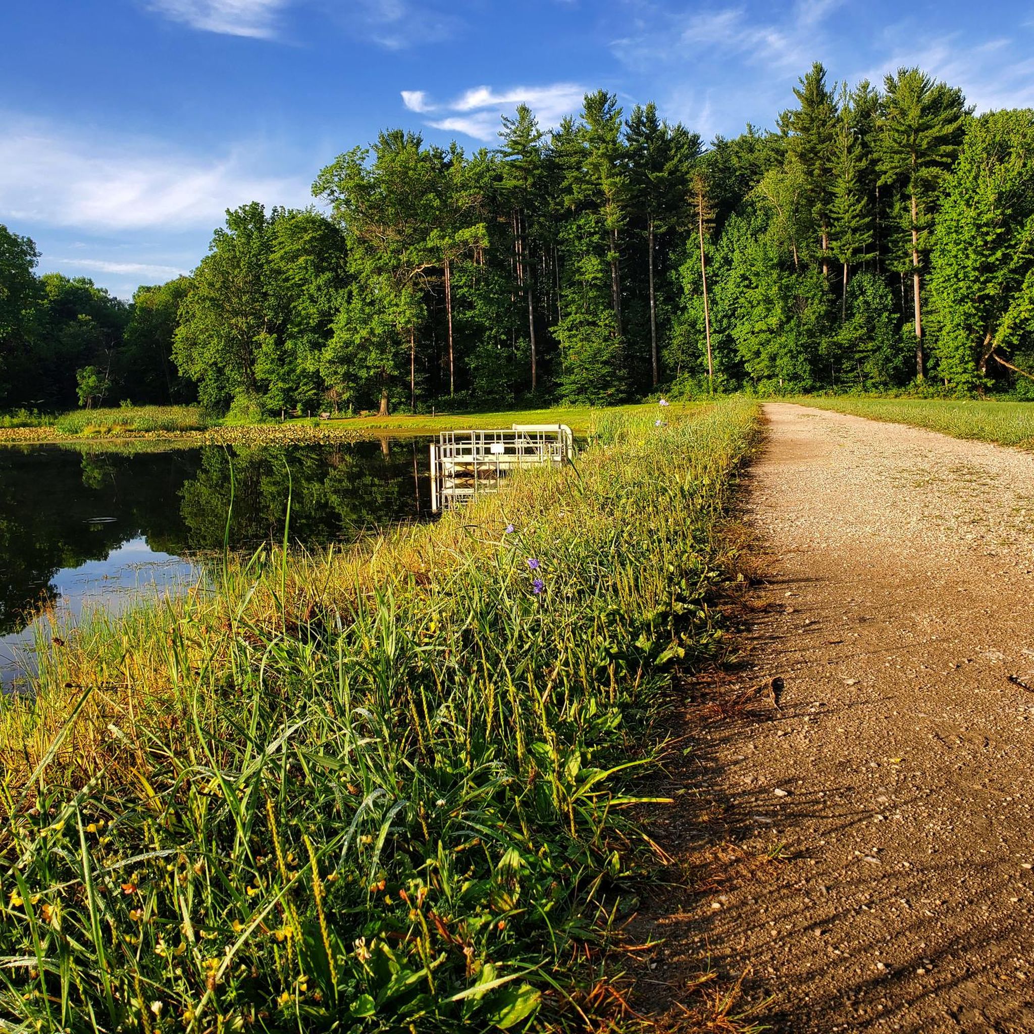
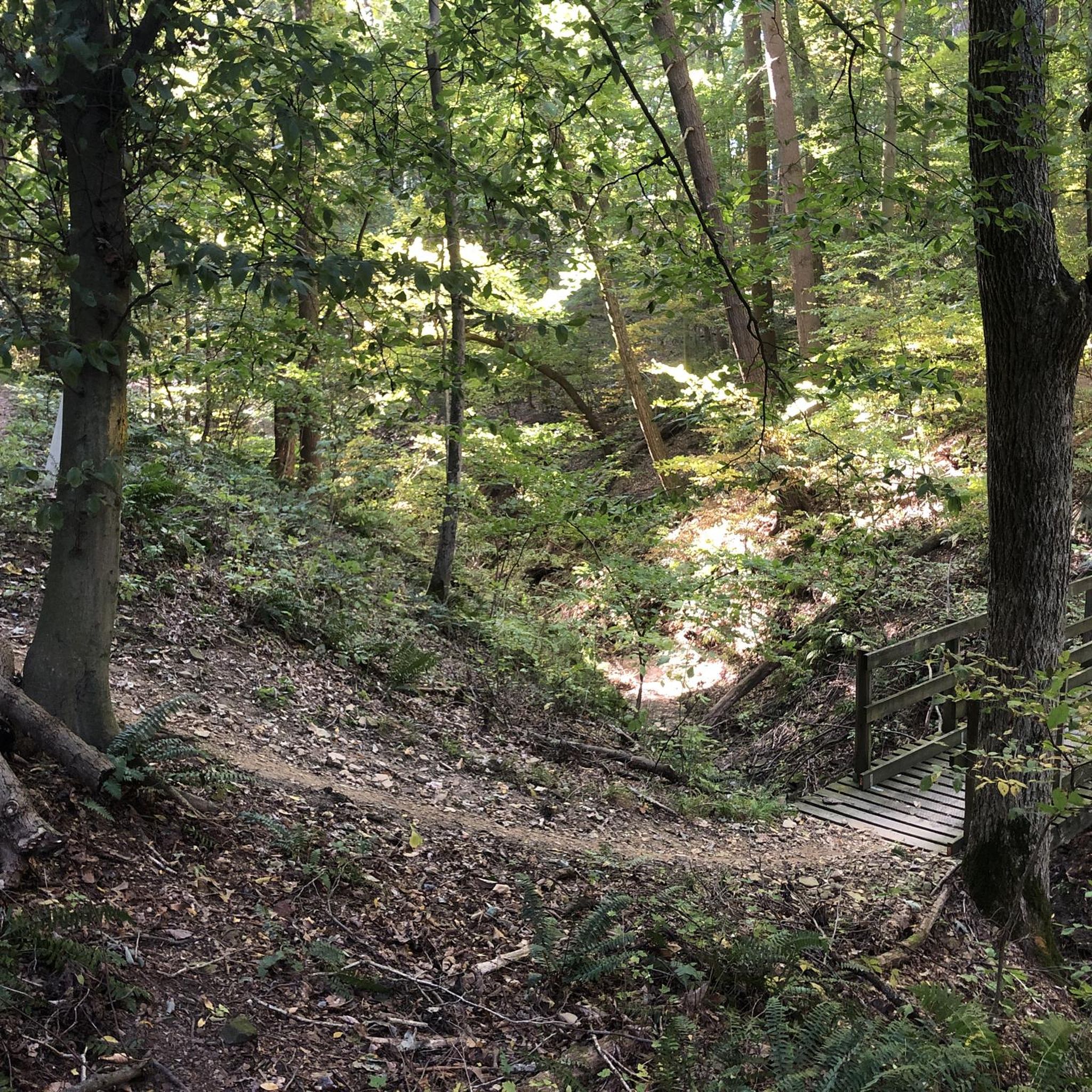
Jogging in Ashland County offers a diverse range of natural landscapes, from wooded trails to paved paths. The region is characterized by varied terrain, including hills, river valleys, forests, grasslands, and wetlands. These features provide a dynamic environment for runners seeking different challenges and scenic views. The county's park system ensures access to a network of trails suitable for outdoor enthusiasts.
Best jogging routes in Ashland County
- The most popular jogging route is Pleasant Hill Dam – Mohican MTB Trail…
Last updated: June 22, 2026
31
runners
33.9km
04:22
680m
680m
Hard run. Very good fitness required. Sure-footedness, sturdy shoes and alpine experience required.
11
runners
Hard run. Very good fitness required. Sure-footedness, sturdy shoes and alpine experience required.

Sign up for free
8
runners
Hard run. Very good fitness required. Sure-footedness, sturdy shoes and alpine experience required.
9
runners
4.21km
00:33
60m
60m
Hard run. Great for any fitness level. Sure-footedness, sturdy shoes and alpine experience required.
13
runners
Hard run. Very good fitness required. Sure-footedness, sturdy shoes and alpine experience required.
8
runners
14.8km
01:56
310m
310m
Hard run. Very good fitness required. Sure-footedness, sturdy shoes and alpine experience required.
3
runners
9.90km
01:02
70m
70m
Moderate run. Good fitness required. Mostly paved surfaces. Suitable for all skill levels.
3
runners
5.16km
00:32
30m
30m
Moderate run. Good fitness required. Mostly paved surfaces. Suitable for all skill levels.
Get access to more routes and recommendations from other explorers.
Sign up for free
Already have an account?
Our route recommendations are based on thousands of hikes, rides, and runs completed by other people on komoot.
Start today with a free account
Your next adventure awaits.
Login or Signup





Tips from the Community

You get great unobstructed views above the water from this fairly new bridge constructed in 2021. The bridge is good fun and those afraid of heights need not worry for you are never more than two stories above the water.
0
0

Beautiful covered bridge built in 1969 as a tribute to the other covered bridges in Ohio. This bridge is open to car and pedestrian traffic.
0
0

Take care! Lots of speed coming down the hill to a cambered corner with many loose shale rocks to slip on. The gap between the guardrails on the bridge is not very wide.
0
0
Frequently Asked Questions
What kind of terrain can I expect on running trails in Ashland County?
Ashland County offers a diverse range of terrain for runners. You'll find everything from challenging routes with significant elevation gain through rugged areas like the Mohican region, to more accessible paved loops. The landscape includes dense forests, open grasslands, tranquil wetlands, and scenic river valleys, providing varied experiences for all preferences.
Are there any running routes with waterfalls in Ashland County?
Yes, for a unique and scenic running experience, you can explore trails at Cool Springs Wildlife Conservation Park. This park features hilly terrain and a five-foot waterfall, offering a challenging yet rewarding hike to the falls.
Where can I find easy or paved running paths in Ashland County?
For easier or paved running options, Freer Field offers a popular one-mile paved loop within its two miles of trails. Similarly, Byers Woods provides an accessible 1.1-mile paved trail that loops around a middle pond, perfect for a smoother run.
Are there dog-friendly running trails in Ashland County?
Many of Ashland County's parks and natural areas are dog-friendly, though leash laws typically apply. Places like Freer Field, Byers Woods, and the River Walk Natural Area are generally welcoming to leashed dogs, allowing you to enjoy the trails with your canine companion. Always check specific park regulations before you go.
What are some good running routes for families in Ashland County?
For family-friendly running, consider parks with shorter, well-maintained trails. Freer Field, with its one-mile paved loop and diverse habitats, is a great option. Audubon Wetlands Preserve also offers shorter half-mile trails in a tranquil setting, suitable for families looking for a gentle outdoor experience.
Can I find circular running routes in Ashland County?
Yes, many of the running routes in Ashland County are designed as loops. For example, the Covered Bridge loop from Mohican Memorial State Forest is a popular 9.7-mile circular trail. Additionally, Freer Field and Byers Woods both feature accessible paved loops for a contained running experience.
Are there running trails in Ashland County that offer scenic views or wildlife watching opportunities?
Absolutely! Byers Woods is known for its tremendous diversity of birds and wildlife across its forests, grasslands, and wetlands. The River Walk Natural Area provides scenic river access and opportunities for bird watching. For unique natural beauty, Crall Woods features an old-growth forest with interesting hills and wildflowers, especially in spring.
What is the best time of year to go running in Ashland County?
Spring and fall are generally ideal for running in Ashland County, offering pleasant temperatures and vibrant scenery. Spring brings blooming wildflowers to areas like Crall Woods and the River Walk Natural Area, while fall showcases stunning foliage. Summer can be warm, but shaded forest trails provide relief, and winter running is possible, though conditions may vary.
Are there any running routes near the Mohican River in Ashland County?
Yes, several routes offer proximity to the Mohican River. The River Walk Natural Area is situated directly along the Jerome Fork of the Mohican River, providing a scenic 3/4-mile trail. Additionally, the Covered Bridge – Mohican MTB Trail loop from Mohican Memorial State Forest offers views of the Mohican River landscape.
What are some longer, more challenging running routes in Ashland County?
For experienced runners seeking a challenge, Ashland County has several difficult routes. The Pleasant Hill Dam – Mohican MTB Trail loop from Camp Check-In is a demanding 23.3-mile trail with significant elevation gain. Another option is the Pleasant Hill Dam – Covered Bridge loop from Mohican Memorial State Forest, which covers nearly 9 miles with notable elevation changes.
Where can I find running trails with varied habitats in Ashland County?
Cooke Family Wildlife Conservation Park is an excellent choice, featuring over three miles of trails that wind through a unique mix of prairie grasslands, hardwood and pine forests, wetlands, swamp forests, beaver ponds, and floodplains. Byers Woods also offers a wide variety of habitats including forests, grasslands, and wetlands.
Most popular routes in Ashland County

Get inspired with the komoot mobile app


Didn’t find what you were looking for?
Check out more Running Trails & Routes throughout Ashland County below and find the perfect route in your destination.
Explore more
Browse the best Running Trails & Routes in other regions.
