The best mountain hikes around Kettleshulme
5.0
(1)
5
hikers
2
hikes
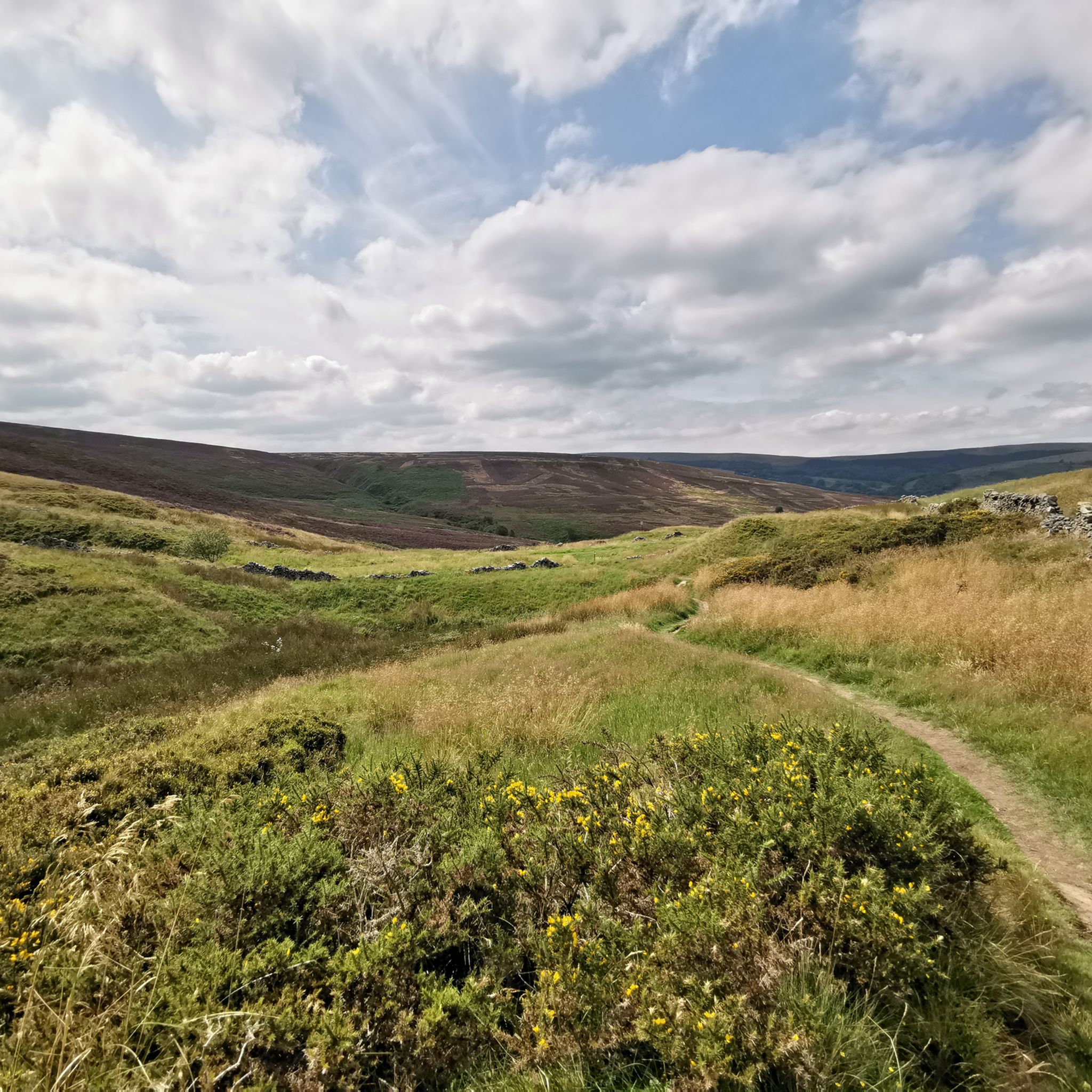
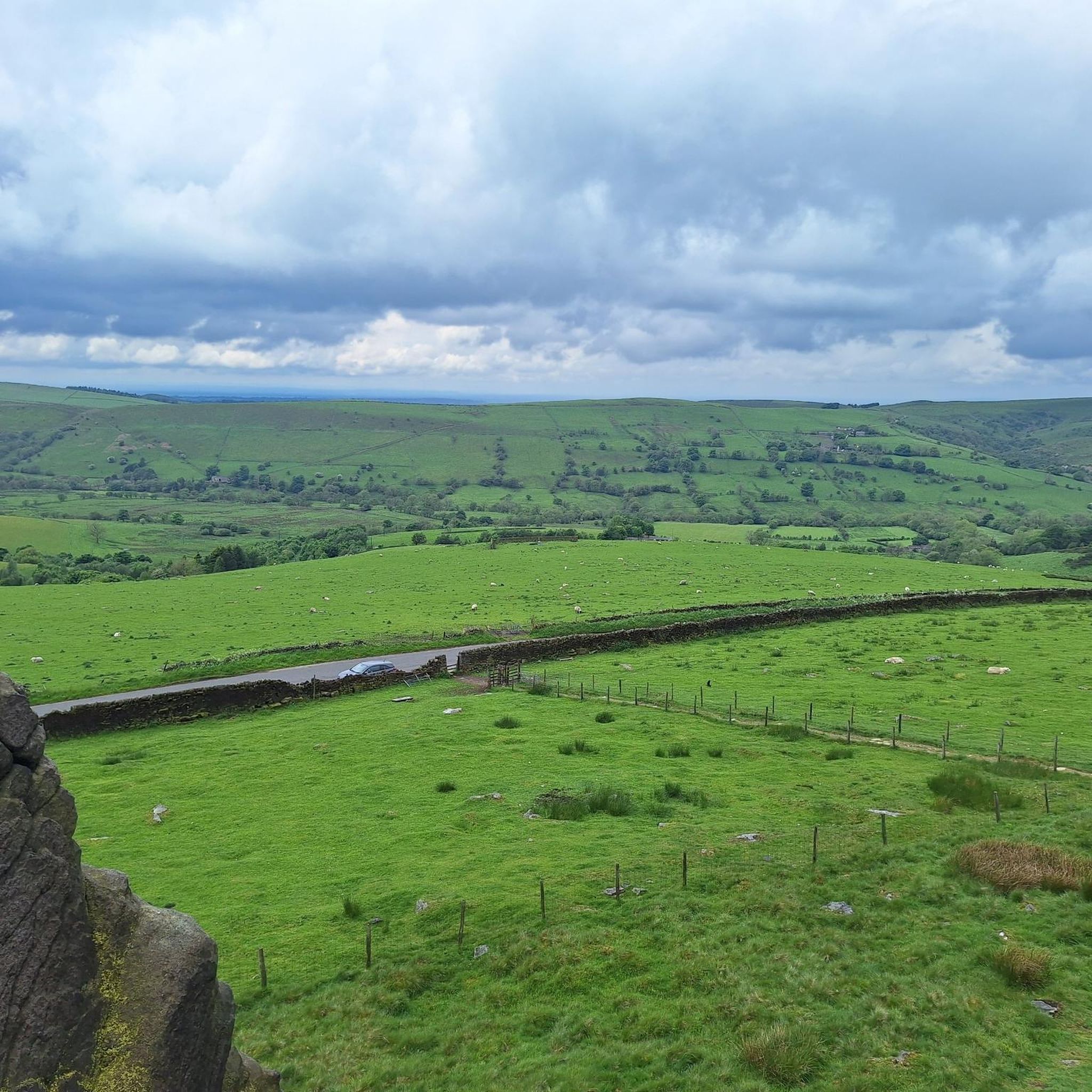
Mountaineering routes around Kettleshulme are set within a diverse geological landscape, characterized by a mix of Carboniferous limestone, Cheshire shale, and gritstone. The area is situated in the Pennines, approximately 1,000 feet above sea level, offering an elevated and rugged environment with moorland, limestone ridges, and gritstone crags. It lies in the valley of the Todd Brook, providing scenic views, and is part of the South West Peak within the Peak District National Park.
Best mountaineering routes around Kettleshulme
- The most popular mountaineering route is Burbage Edge loop from Combs, a 6.5 miles (10.5 km) trail that takes 3 hours 1 minute to complete. This moderate route offers expansive views typical of the Peak District's gritstone edges.
- Another top favourite among local mountaineers is View over Macclesfield Forest – Shutlingsloe Summit loop from St. Stephen's Chapel, Macclesfield Forest, a moderate 6.5 miles (10.5 km) path. This route ascends to Shutlingsloe Summit, providing outstanding views across the Cheshire Plain and the Peak District.
- Local mountaineers also love the Mount Famine – Coldwell Clough Descent loop from Hayfield, a 6.9 miles (11.2 km) trail leading through varied terrain including cloughs and descents, often completed in about 3 hours 25 minutes.
- Mountaineering around Kettleshulme is defined by gritstone crags, moorland, and scenic valleys, offering routes suitable for developing mountaineering skills. The network provides options for different ability levels, from moderate climbs to longer, more challenging paths.
- The routes in Kettleshulme are highly rated by the komoot community with an average score of 5.0 stars from over 1 review. More than 5 mountaineers have used komoot to explore Kettleshulme's varied terrain.
Last updated: May 15, 2026
5.0
(1)
2
hikers
Moderate mountaineering route. Good fitness required. Easily-accessible paths. Suitable for all skill levels.
2
hikers
10.7km
03:05
260m
260m
Moderate mountaineering route. Good fitness required. Easily-accessible paths. Suitable for all skill levels.

Sign up for free
1
hikers
11.2km
03:26
390m
390m
Moderate mountaineering route. Good fitness required. Easily-accessible paths. Suitable for all skill levels.
Our route recommendations are based on thousands of hikes, rides, and runs completed by other people on komoot.
Start today with a free account
Your next adventure awaits.
Login or Signup

Tips from the Community

Surprisingly good views and although the path seems well used there wasn’t a soul around
0
0

very fast coming from Pym's chair. then is a leg sapping uphill for a few miles to the end.
0
0


Lovely climb up from the reservoir, quiet road with fabulous views.
0
0

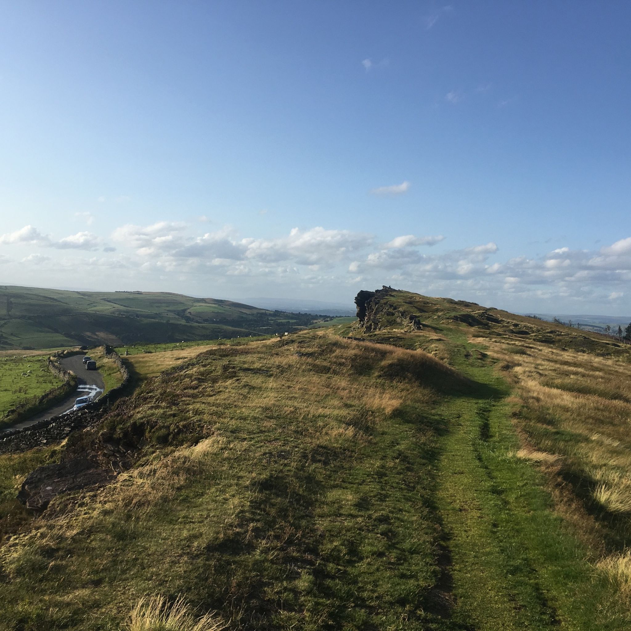
Standing proud at 1,600 feet (500 m) to the west of Buxton, Burbage Edge is a glorious objective. The views from its trig pillar are splendid, with rolling moorland in just about every direction. The ridge is the main watershed between the Goyt and Wye Rivers.
1
0

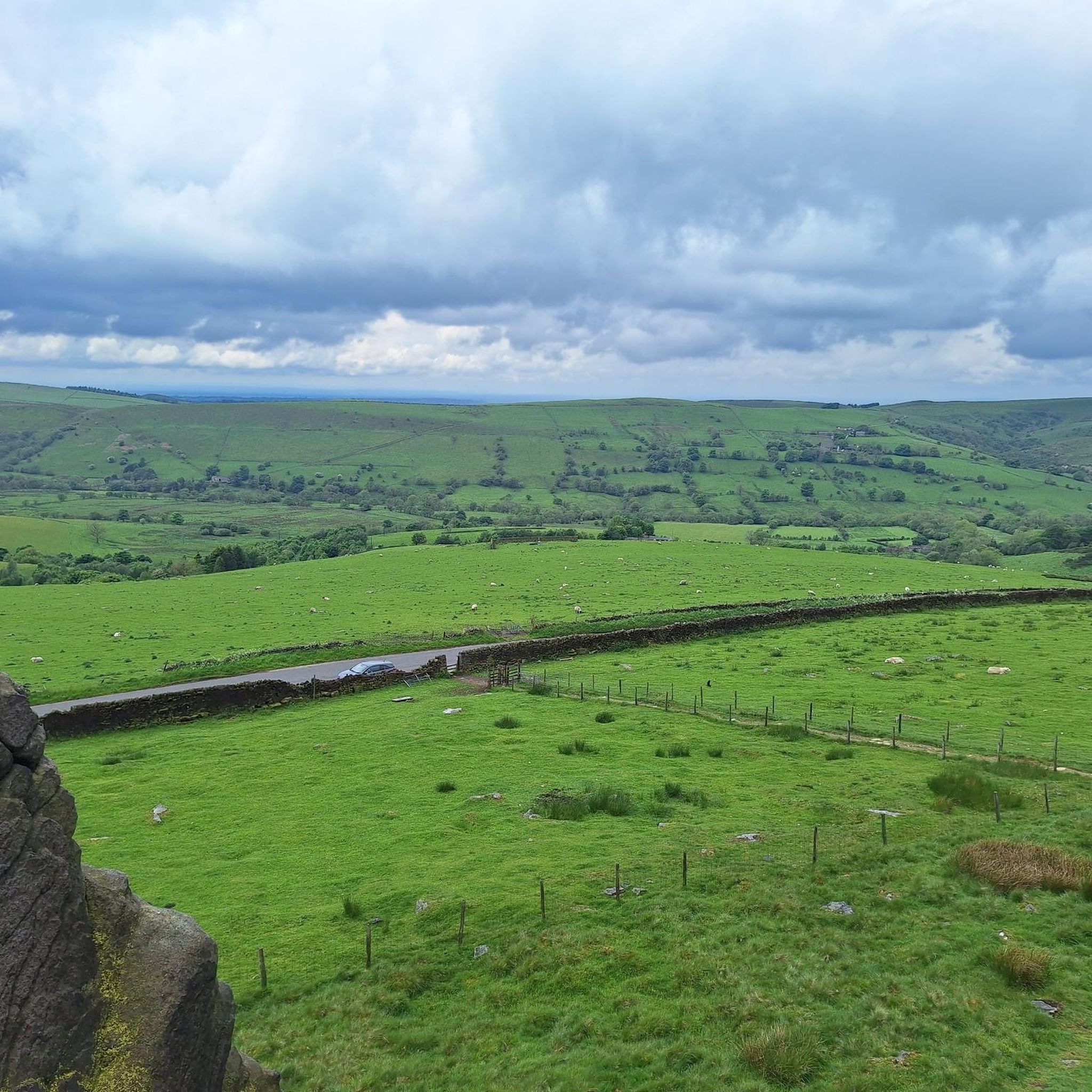
Great views from Goyt Lane stretching across Errwood Reservoir and the Goyt Valley.
0
0

Frequently Asked Questions
What kind of terrain can I expect on mountaineering routes around Kettleshulme?
The terrain around Kettleshulme is quite varied, characterized by a mix of Carboniferous limestone, Cheshire shale, and gritstone. You'll encounter moorland, limestone ridges, and gritstone crags. Situated in the Pennines, approximately 1,000 feet above sea level, the area offers an elevated and rugged environment with scenic valley views, particularly in the Todd Brook valley, and is part of the South West Peak within the Peak District National Park.
Are there any challenging mountaineering routes near Kettleshulme?
Yes, while many routes are moderate, the area offers paths with significant elevation gain and varied terrain. For example, the Mount Famine – Coldwell Clough Descent loop from Hayfield is a moderate 11.2 km trail that includes cloughs and descents, providing a good challenge with over 390 meters of elevation gain.
Can I find circular mountaineering routes with steep inclines in the Kettleshulme area?
Absolutely. Many routes in the region are circular and feature notable ascents. The View over Macclesfield Forest – Shutlingsloe Summit loop from St. Stephen's Chapel, for instance, is a moderate 10.5 km circular path that ascends to Shutlingsloe Summit, offering outstanding views and a good workout with over 330 meters of climbing.
What are some notable natural features or landmarks to look out for on these routes?
The Kettleshulme area is rich in natural beauty and landmarks. You can find several prominent peaks offering panoramic views, such as Shining Tor trig point, the highest point in Cheshire, and Shutlingsloe Summit, often called the 'Matterhorn of Cheshire'. Other highlights include Lantern Pike summit and Eccles Pike Summit and Toposcope, both providing extensive vistas.
Are there any opportunities for wild swimming near the mountaineering trails?
Yes, a popular spot for wild swimming and photography is Three Shires Head Stone Bridge and Waterfalls. This picturesque location marks the intersection of Cheshire, Derbyshire, and Staffordshire and is a fantastic place to cool off after a hike.
What do other mountaineers say about the routes around Kettleshulme?
The mountaineering routes around Kettleshulme are highly rated by the komoot community, with an average score of 5.0 stars from over 1 review. Mountaineers often praise the diverse terrain, expansive views, and the opportunities for developing skills within the scenic Peak District.
Are there any specific locations for beginner climbing or developing mountaineering skills?
Yes, the region is known for its suitability for developing mountaineering skills. Windgather Rocks, located about a mile southeast of Kettleshulme, is a highly popular venue where 'budding mountaineers learn their trade,' making it an excellent spot for those looking to gain experience.
What is the best time of year for mountaineering in Kettleshulme?
The Peak District, including the Kettleshulme area, offers year-round opportunities for mountaineering. However, spring and autumn provide pleasant temperatures and often clearer views. Winter can be challenging with snow and ice, especially at higher elevations, requiring appropriate gear and experience. Always check local weather conditions before heading out.
Are there any dog-friendly mountaineering routes in the area?
Many trails in the Peak District are dog-friendly, but it's essential to keep dogs under control, especially around livestock. The Gritstone Trail, which passes through the area, is generally accessible for dogs. Always check specific route details and local signage for any restrictions, particularly during lambing season or in nature conservation areas.
Are there any family-friendly options for exploring the Kettleshulme area?
While the listed mountaineering routes are moderate, the broader Kettleshulme area offers diverse walking opportunities, from easy hikes to more challenging routes. For families, consider exploring parts of Lyme Park, a National Trust estate nearby, which offers varied terrain and attractions suitable for different ages. Always choose routes appropriate for your family's fitness level.
Where can I find parking access for mountaineering routes near Kettleshulme?
Parking is generally available at various trailheads and villages surrounding Kettleshulme, particularly within the Peak District National Park. Specific parking information can often be found in the details of individual komoot tours or by checking local council websites for car parks in nearby villages like Combs or Hayfield, which serve as starting points for some routes.
Are there any pubs or cafes along the mountaineering routes or in Kettleshulme itself?
Kettleshulme and the surrounding villages offer options for refreshments. While specific routes might not pass directly by pubs or cafes, you'll typically find establishments in nearby settlements like Kettleshulme village, Combs, or Hayfield, perfect for a post-hike meal or drink. It's always a good idea to check opening times in advance.
Can I reach the trailheads using public transport?
Public transport options to the Peak District can vary. While Kettleshulme itself is a village, nearby towns and larger villages like Macclesfield or Whaley Bridge often have bus services that can connect to smaller settlements or trailheads. Planning your journey in advance using local bus timetables is recommended to determine the best access points for specific routes.
Most popular routes around Kettleshulme
Most popular attractions around Kettleshulme

Get inspired with the komoot mobile app


Explore more
Browse the best Mountain Hikes & Routes in other regions.
