Top 15 Mountain Passes around Partschins - Parcines
Mountain passes around Partschins - Parcines offer access to high-altitude hiking routes within the Texelgruppe Nature Park and connect to wider South Tyrol regions. Partschins serves as a base for exploring both challenging alpine trails and scenic road passes. The area is characterized by its diverse landscapes, ranging from sub-Mediterranean climates to high-alpine environments. It provides opportunities for hiking, cycling, and scenic drives through mountainous terrain.
Best mountain passes around Partschins - Parcines
- The most popular mountain pass is Spronserjoch…
Last updated: September 29, 2026
Taufenscharte (Taufen Pass)
Highlight • Mountain Pass
Translated by Google •
Tip by

Spronserjoch – Sopranes Pass
Highlight • Mountain Pass
The original path from the middle Etschtal near Meran to the high valley of Pfelders dates back to the Middle Stone Age (around 5000 BC). The Mesolith …
Translated by Google •
Tip by

Sign up now to discover places like this
Get recommendations on the best single tracks, peaks, & plenty of other exciting outdoor places.
Hochgangscharte (2,455 m) — Hochgang Pass
Highlight • Mountain Pass
Translated by Google •
Tip by

Eisjöchl Pass
Highlight • Mountain Pass
Translated by Google •
Tip by

Ascent to Passo delle Palade from Lana
Highlight (Segment) • Mountain Pass
Translated by Google •
Tip by

Sign up for free to discover even more mountain passes around Partschins - Parcines.
Already have an account?
Start today with a free account
Your next adventure awaits.
Popular around Partschins - Parcines
Meraner Höhenweg — in 8 stages through sunny South Tyrol
So much variety, so much South Tyrol
On the trail of the water along Italy’s Marlinger Waalweg
Bike between palm trees and glaciers in South Tyrol – Merano and Vinschgau
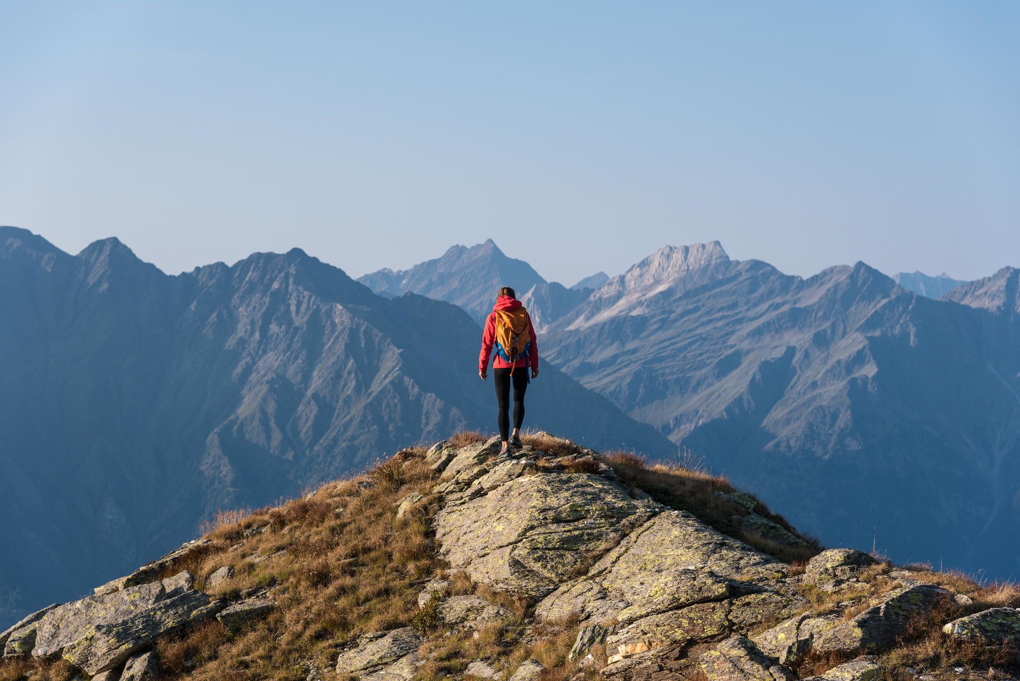
A Mediterranean-alpine paradise – day hikes in Italy’s Naturno
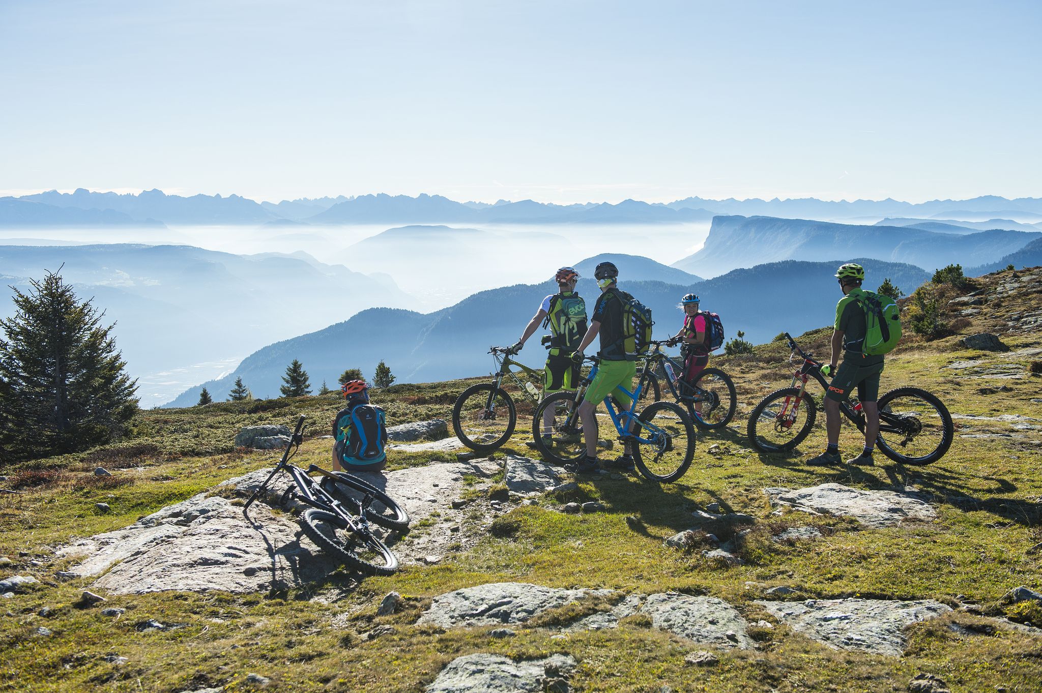
On the trails, get set, go! South Tyrol's BikeHotels are waiting for you
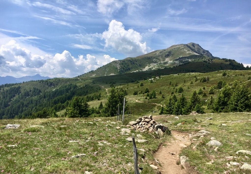
Mountain biking in the Val Venosta

The most beautiful waterfalls of the Alps
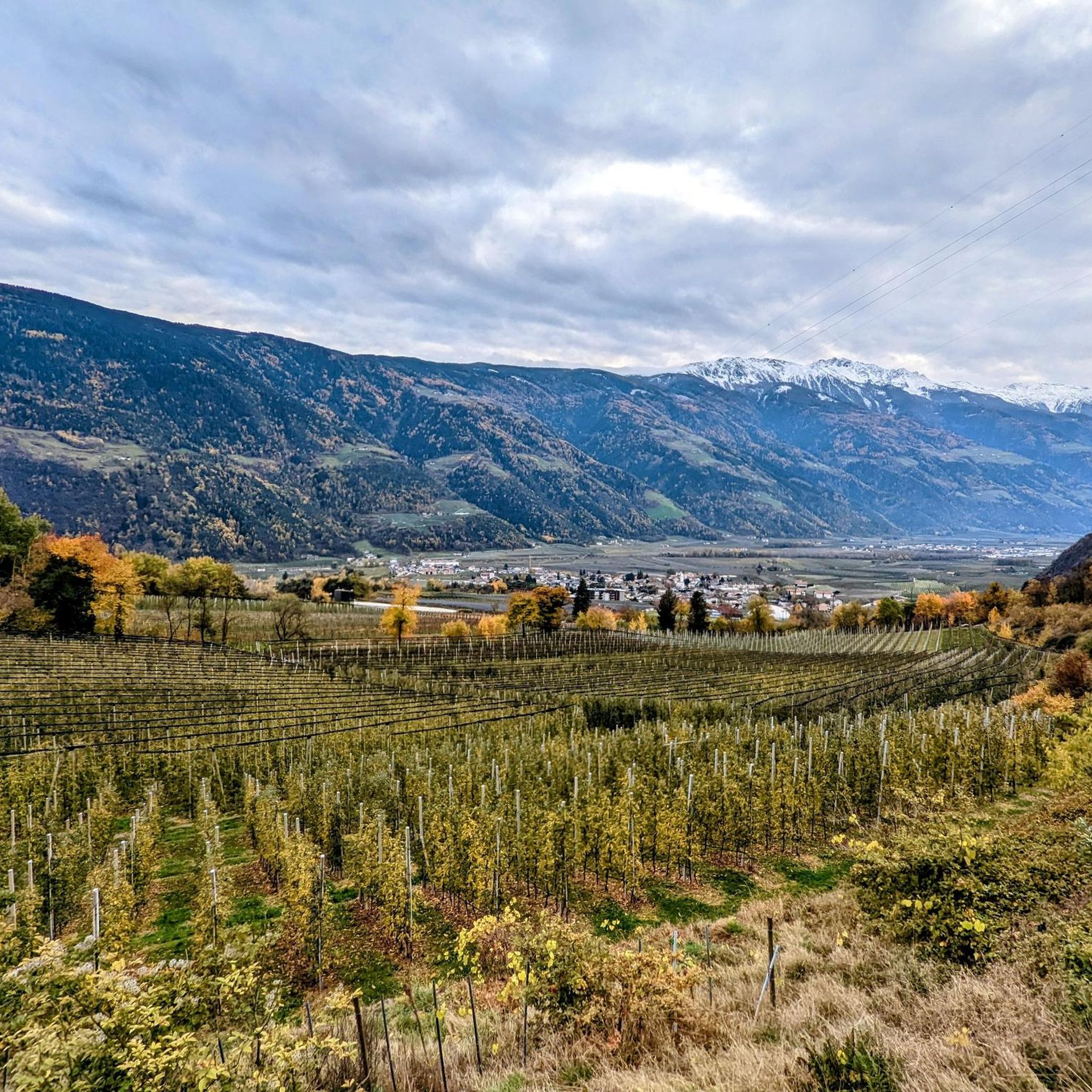
Hiking around Partschins - Parcines
Road Cycling Routes around Partschins - Parcines
Other adventures around Partschins - Parcines


Tips from the Community

Hello, does anyone know if the Spronser Joch is currently accessible (June 21, 2025). Thank you for a quick message.
0
0

The climb to the Passo delle Palade from Lana connects the Val d'Adige with the Val di Non. It is about 18 kilometers long with a difference in altitude of 1200 meters. The gradient is fairly constant for most of the route. The road passes through several villages before tackling the numerous hairpin bends that climb through the woods to the 1518 meters of the pass.
4
1

Here you have reached the highest point of the hike. Great view.
2
0

When we visited in June 2024, the path was heavily marked by the effects of winter. Some parts had slipped and were badly torn up by fallen rocks. It was still possible to walk it, but it was a little more difficult than usual - it's steep either way!
3
2

Dear colleagues, I live on the Gampenpass Straße, I drive to work on this street every day, I cycle up the pass almost once a week. But by bike only between 6.00 and 8.00 in the morning!!! The Gampenpass road is the connection between the Adige Valley (Lana) and the Nonsberg (Fondo), commuter traffic, individual traffic, heavy traffic and tourists and many bikers run there. If you want to do a quiet tour, you should take my tip into account! Have fun Michael
10
1

Mega view from the Spronserjoch.
2
0

Enjoy the view from here and descend again.
1
1

Stunning view. Downhill and Val Senales much smoother. It's better to climb up from the Pflenderstal (push it for 3 hours!) and ski down to the Schnalstal.
6
2
Frequently Asked Questions
What are the most notable mountain passes for hiking around Partschins - Parcines?
Partschins - Parcines is an excellent base for high-altitude hiking passes within the Texelgruppe Nature Park. Key passes include Spronserjoch – Sopranes Pass at 2,591 meters, known for its historic significance and stunning views, and Taufenscharte (Taufen Pass) at 2,230 meters, offering panoramic views towards Burggrafenamt and the Ortler massif. For a challenging experience, the Eisjöchl Pass is a key point on routes connecting different valleys, often recommended for experienced hikers.
Are there road mountain passes accessible from Partschins - Parcines for driving or cycling?
Yes, while Partschins itself is a hub for hiking, you can easily access significant road passes for driving, motorbiking, or cycling. The Timmelsjoch Pass (Passo del Rombo) connects South Tyrol with Austria, reaching 2,474 meters with 44 hairpin bends, offering spectacular views. Another popular option is the Jaufenpass (Passo di Monte Giovo) at 2,094 meters, known for its winding roads and breathtaking panoramas of the Ötztal and Stubai Alps.
What kind of views can I expect from the mountain passes in this region?
The mountain passes around Partschins - Parcines offer diverse and spectacular views. From Taufenscharte (Taufen Pass), you can see south towards the Burggrafenamt and Bozen, and potentially the Ortler massif. The Spronserjoch – Sopranes Pass provides mega views of the surrounding high-alpine landscape. From the Merano High Mountain Trail, you'll enjoy continuous vistas of the Dolomites, Rosengarten massif, and the Merano basin.
Are there challenging mountain passes for experienced hikers and cyclists?
Absolutely. The region is renowned for its challenging routes. The Eisjöchl Pass is a demanding route for experienced cyclists and hikers. The Hochgangscharte (2,455 m) involves a difficult, steep, and often exposed ascent, recommended only for sure-footed hikers free from giddiness. For road cyclists, the Timmelsjoch Pass presents a significant challenge with its continuous 12% gradient.
What natural features are prominent around the mountain passes?
The area is rich in natural beauty. The Texelgruppe Nature Park, which Partschins is considered the 'gate' to, features the Spronser Lakes, the largest high-alpine lake plateau in South Tyrol with ten glacial lakes. You'll encounter diverse flora and fauna as the Merano High Mountain Trail traverses two distinct climatic zones, from high-alpine to sub-Mediterranean. Many passes, like Hochgangscharte, offer stunning views of these lakes and dramatic mountain scenery.
What is the best time to visit the mountain passes near Partschins - Parcines?
The best time to visit largely depends on the type of pass and activity. High-alpine hiking passes and road passes like Timmelsjoch are typically open from early June to late October, weather permitting. For hiking, late spring through early autumn offers the most favorable conditions. Some passes, like Jaufenpass, may remain open in winter during the day, but conditions can be challenging.
Are there any historical aspects associated with the mountain passes in this region?
Yes, some passes have a rich history. The Spronserjoch – Sopranes Pass, for instance, has an original path dating back to the Middle Stone Age (around 5000 BC) and was historically used as a crossing point by hunters, shepherds, and even for carrying the dead for burial. This highlights its long-standing importance in connecting communities and facilitating movement through the mountains.
What outdoor activities can I do near these mountain passes?
Beyond exploring the passes themselves, the region offers a wide range of outdoor activities. You can find numerous mountain hikes, including challenging routes like the Via Ferrata destination loop from Rabland. For cyclists, there are gravel biking and MTB trails, such as the Passer River in Val Passiria loop. Many passes also serve as starting points for further hiking and mountain biking adventures.
What do visitors enjoy most about the mountain passes around Partschins - Parcines?
Visitors consistently praise the breathtaking views and the sense of accomplishment from reaching these high-altitude points. The 'mega view' from Spronserjoch – Sopranes Pass and the rewarding panoramas from Taufenscharte (Taufen Pass) are frequently highlighted. The challenging nature of routes like Hochgangscharte, despite its difficulty, is often mentioned as being worth it for the stunning scenery.
Are there long-distance hiking trails that incorporate these mountain passes?
Yes, the iconic Merano High Mountain Trail (Meraner Höhenweg) is a prime example. This approximately 100-kilometer circular hiking trail loops around the Texelgruppe Nature Park, offering a multi-day experience. While not explicitly listed as a 'pass' in the same way as others, it traverses high-alpine environments and provides continuous, stunning views, making it a significant 'pass' experience on foot.
Can I find mountain huts or places for refreshments along the routes to these passes?
Yes, especially on longer hiking routes like the Merano High Mountain Trail, you'll find picturesque mountain huts that offer refreshments and even overnight stays. For road passes like the Jaufenpass, there are mountain inns providing food and rest, making them convenient stops for motorists, cyclists, and motorcyclists.
What is the highest mountain pass accessible from Partschins - Parcines?
Among the passes mentioned, the Eisjöchl Pass reaches an elevation of 2,895 meters, making it one of the highest and most challenging points in the region for experienced hikers and cyclists. The Spronserjoch – Sopranes Pass is also very high at 2,591 meters.
Most popular routes around Partschins - Parcines
Most popular attractions around Partschins - Parcines

Get inspired with the komoot mobile app


Explore more
See even more epic mountain passes by checking out these guides around Partschins - Parcines:
