The best mountain hikes around Cumbacher Teiche
4.8
(6)
43
hikers
3
hikes
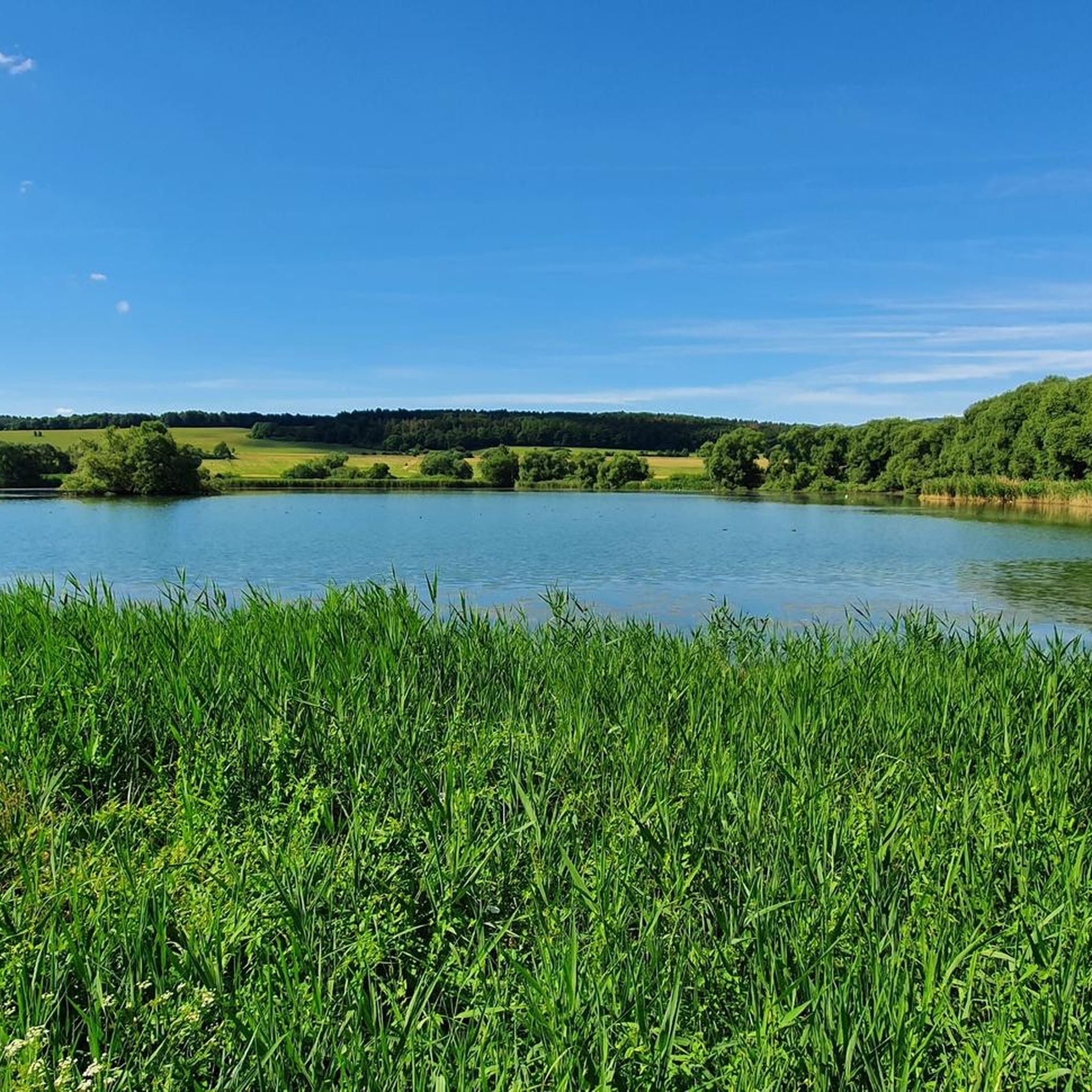
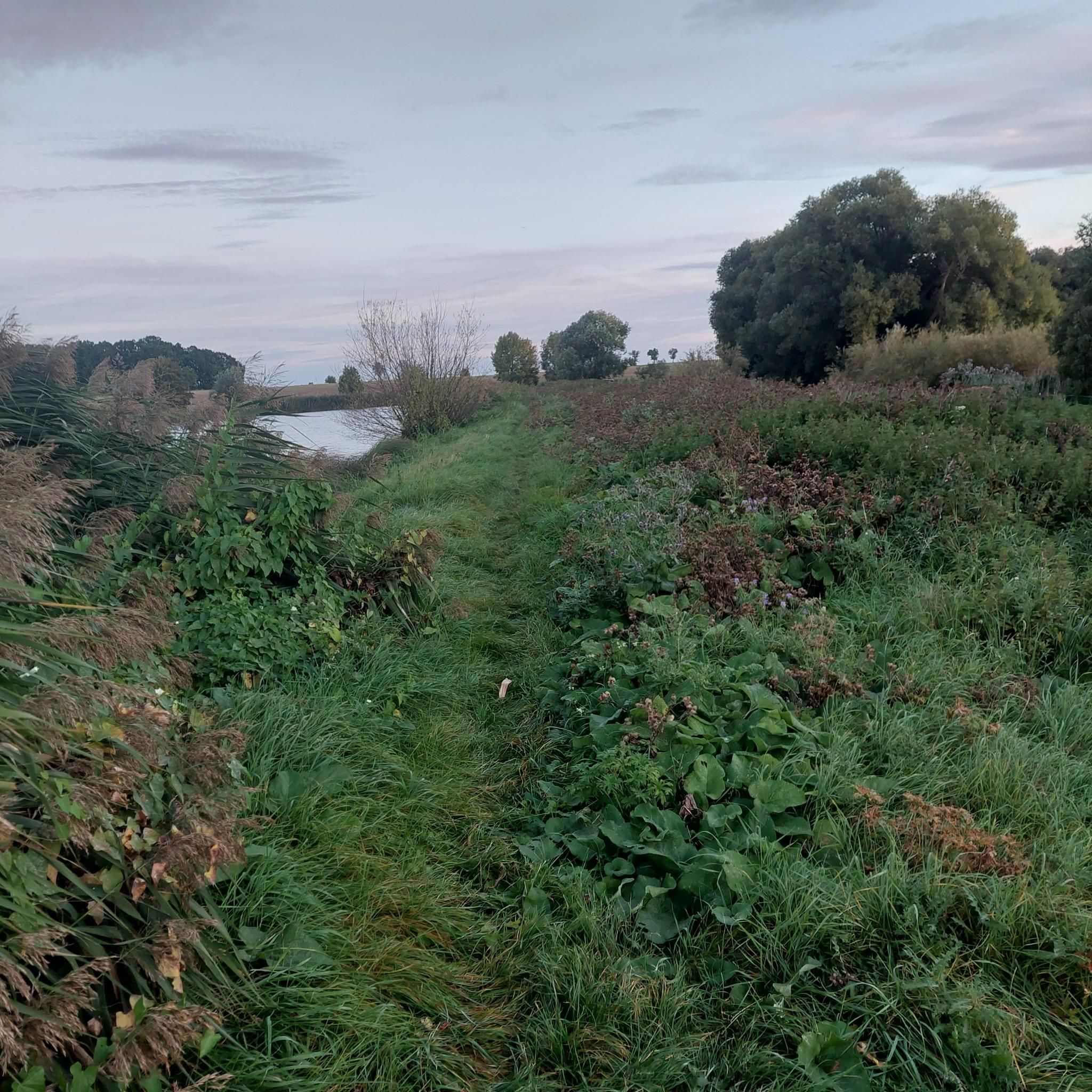
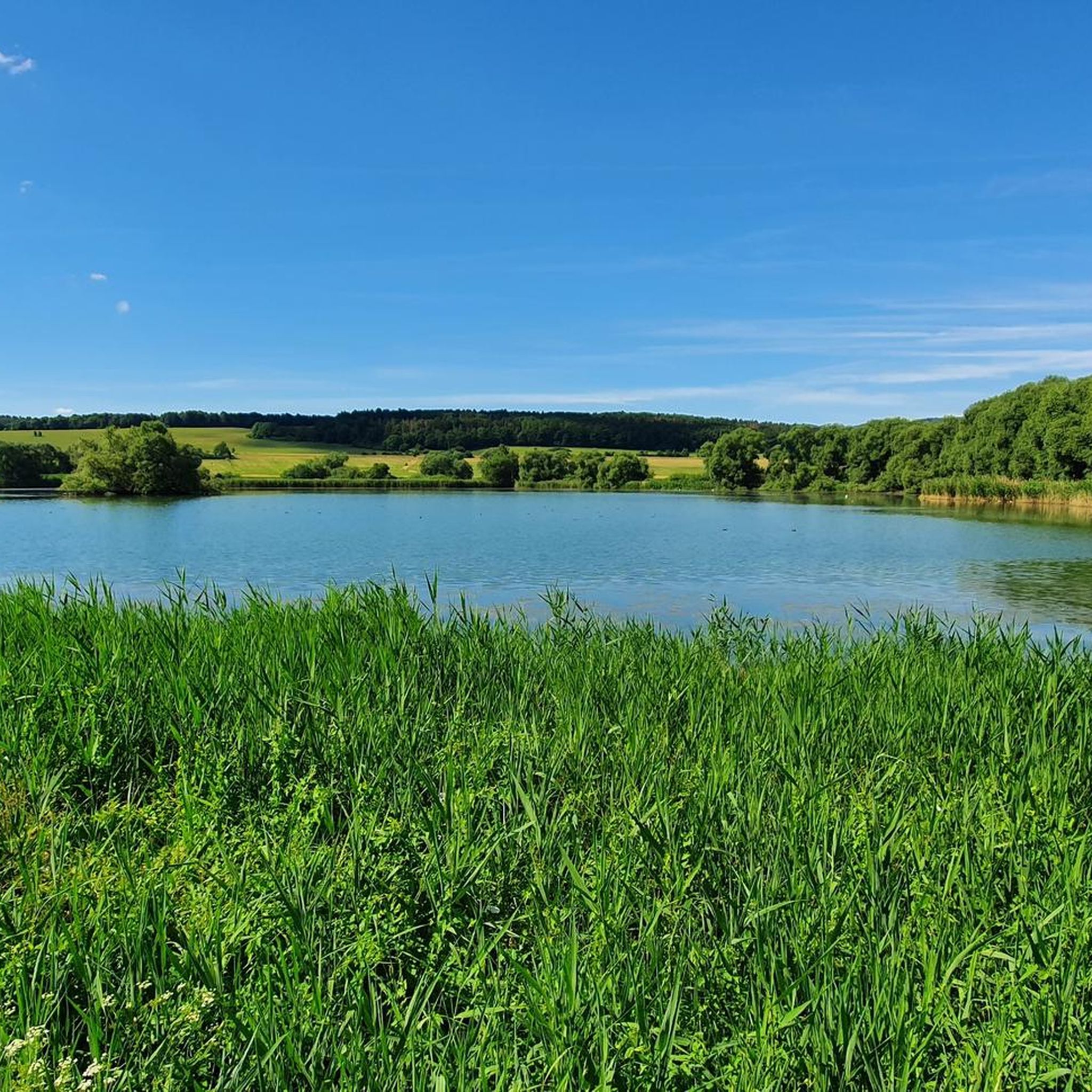
Mountaineering around Cumbacher Teiche primarily involves exploring the surrounding areas, as the immediate vicinity is characterized by flat, nutrient-rich fish ponds and tranquil natural settings. While the Cumbacher Teiche itself is at a low elevation, nearby routes offer opportunities for hill walking and exploring varied terrain. These routes often lead through dense woodlands and feature gentle ascents, providing a different experience than traditional high-alpine mountaineering. The landscape is defined by its peaceful environment and rich biodiversity, rather than rugged mountain peaks.
Best mountaineering routes around Cumbacher Teiche
- The most popular mountaineering route is Friedenspark with herb garden – Ludowinger Spring, Friedrichroda loop from Reinhardsbrunn-Friedrichroda, a 3.3 miles (5.3 km) trail that takes 1 hour 29 minutes to complete. This easy route features a gentle elevation gain through a park setting.
- Another top favourite among local mountaineers is Backofenloch Cave – Torstein Rock Arch loop from Bad Tabarz, a moderate 7.8 miles (12.5 km) path. This route includes significant elevation gain and leads through natural rock formations and woodlands.
- Local mountaineers also love the Torstein Rock Arch – Red Tower loop from Bad Tabarz, a 5.3 miles (8.6 km) trail leading through varied terrain with a notable rock arch, often completed in about 2 hours 55 minutes.
- Mountaineering around Cumbacher Teiche is defined by dense woodlands, gentle ascents, and natural rock formations. The network offers options for different ability levels, from easy walks to moderate hill climbs.
- The routes in Cumbacher Teiche are highly rated by the komoot community with an average score of 4.75 stars from over 7 reviews. More than 45 mountaineers have used komoot to explore Cumbacher Teiche's varied terrain.
Last updated: July 9, 2026
1
hikers
Easy mountaineering route. Great for any fitness level. Easily-accessible paths. Suitable for all skill levels.
4.8
(6)
31
hikers
8.59km
02:53
330m
330m
Moderate mountaineering route. Good fitness required. Mostly accessible paths. Sure-footedness required.

Sign up for free
11
hikers
6.47km
01:52
160m
160m
Easy mountaineering route. Great for any fitness level. Easily-accessible paths. Suitable for all skill levels.
Our route recommendations are based on thousands of hikes, rides, and runs completed by other people on komoot.
Start today with a free account
Your next adventure awaits.
Login or Signup

Tips from the Community

Here you can have a fresh drink.
2
0

From this stop on the Thuringian Forest Railway (Line 4), it's just 200 meters to the Marienglashöhle (Marienglas Cave). Guided tours are offered hourly and are very interesting.
0
0

The climb is worth it…
0
0

Here you can cool your feet in the water after a hike. There's also a barefoot path on the grounds, and you can also see dinosaurs here...a place to relax and unwind...
3
0

A dream forest! I hope it stays that way.
2
0

really very interesting and informative
2
0
you can take a stop here
1
0

A particularly valuable healing spring characterized by its high mineral content. The mineral taste is noticeable, but not disturbing. The spring house is not always accessible.
8
0
Frequently Asked Questions
What kind of mountaineering routes can I expect around Cumbacher Teiche?
While Cumbacher Teiche itself is a flat area known for its fish ponds and nature observation, the surrounding region offers routes characterized by dense woodlands, gentle ascents, and natural rock formations. These are more akin to hill walking than high-alpine mountaineering, providing a peaceful outdoor experience.
Are there any easy mountaineering routes suitable for beginners or families?
Yes, there are easy routes perfect for beginners or families. For instance, the Friedenspark with herb garden – Ludowinger Spring, Friedrichroda loop from Reinhardsbrunn-Friedrichroda is an easy 3.3-mile (5.3 km) trail with a gentle elevation gain through a park setting. Another accessible option is the Backofenloch in the Lauchagrund – Backofenloch Cave loop from Bad Tabarz, which is 4 miles (6.4 km) long.
Are dogs allowed on the mountaineering routes near Cumbacher Teiche?
Yes, the routes in the surrounding areas of Cumbacher Teiche are generally dog-friendly, offering plenty of natural spaces for your canine companion. Always keep your dog on a leash, especially near wildlife habitats and other hikers, and ensure you carry waste bags.
What is the best time of year to go mountaineering in this region?
The region around Cumbacher Teiche is beautiful year-round. Spring and autumn offer pleasant temperatures and vibrant natural colors, while summer provides lush green landscapes. Even in winter, the trails can be enjoyed, though some paths might be slippery or require appropriate winter gear.
Are there any circular mountaineering routes available?
Yes, many routes in the area are designed as loops. For example, the moderate Backofenloch Cave – Torstein Rock Arch loop from Bad Tabarz is a 7.8-mile (12.5 km) path that brings you back to your starting point. Another circular option is the Torstein Rock Arch – Red Tower loop from Bad Tabarz, covering 5.3 miles (8.6 km).
What do other mountaineers enjoy most about the routes around Cumbacher Teiche?
The routes in the Cumbacher Teiche area are highly rated by the komoot community, with an average score of 4.75 stars. Mountaineers often praise the peaceful environment, the well-maintained trails through dense woodlands, and the opportunity to explore natural rock formations away from urban hustle.
Are there any notable natural features or landmarks to see on these routes?
Yes, the routes often lead through areas with interesting natural features. For instance, the Backofenloch Cave – Torstein Rock Arch loop from Bad Tabarz takes you past natural rock formations like the Torstein Rock Arch and the Backofenloch Cave. The region is also known for its rich biodiversity, particularly its amphibian populations in the Cumbacher Teiche itself.
How can I get to the starting points of these mountaineering routes using public transport?
Many routes start from towns like Friedrichroda or Bad Tabarz, which are generally accessible by public transport in the Thuringian region. It's advisable to check local bus or train schedules for specific connections to these towns, as direct access to every trailhead might vary.
Is there parking available near the trailheads?
Yes, parking is typically available in the towns and villages where these routes begin, such as Friedrichroda and Bad Tabarz. Look for designated parking areas near the trailheads or in the town centers, which usually offer convenient access to the starting points.
What is the typical duration for a mountaineering route in this area?
The duration varies depending on the route's length and difficulty. Easy routes like the Friedenspark with herb garden – Ludowinger Spring, Friedrichroda loop can take around 1 hour 30 minutes. Moderate routes, such as the Torstein Rock Arch – Red Tower loop, typically take about 2 hours 55 minutes to complete.
Are there any cafes or places to eat near the mountaineering routes?
The towns and villages surrounding Cumbacher Teiche, such as Friedrichroda and Bad Tabarz, offer various cafes, restaurants, and inns where you can refuel before or after your mountaineering trip. These establishments provide local cuisine and refreshments.
Most popular routes around Cumbacher Teiche

Get inspired with the komoot mobile app


Explore more
Browse the best Mountain Hikes & Routes in other regions.
